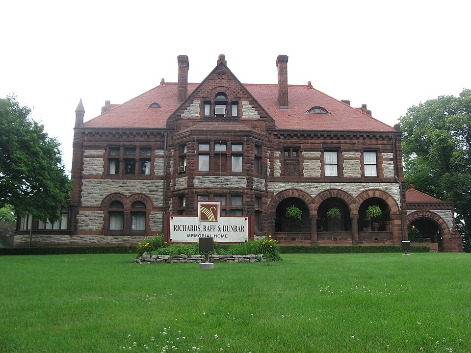
Listed on the National Register of Historic Places in
1974. A historic map-sheet match is not published yet. The record needs a coordinate-quality review before it can be joined to a sheet boundary.
From the record
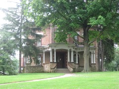
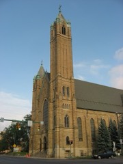
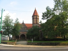
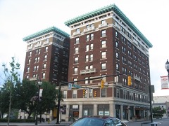
“The East High Street Historic District is a cluster of mansions on the eastern side of Springfield, Ohio, United States. Located along one of Springfield's most important thoroughfares and once home to some of its most prominent residents, the cluster was named a historic district in 1974.”
Wikipedia article East High Street Historic District (Springfield, Ohio), CC BY-SA 4.0.
one of 32 National Register listings in Clark County · listed in 1974 · category: District.
National Register reference number.74001412- the number the National Park Service assigned this property when it was listed, and the key its nomination file is catalogued under at the National Archives.
Lhe survey completed, Foose and his party returned to Fraoklington for their fumilies. In their removal with their wagons, they made the first wagon-trucle from that direction into Springfield. The jouruey oveupied four wand uw hal! days, one day being given lo crossing the Big Darby. Virst they packed their goods acrosa upon horses, and then drew their wagons over with ropes, while some Their route through the woods had to be cleared with the axe in many places. After Moos arrived, he made prepirations for the erection of nh house.
One Myers was killed near Urbanw by a party of wandering Indians, and u fumily named Elliott, living on Mad Niver, was visited by an Indian of 'teeumsch's tribe, who demanded a buteher-knife of them, was refused, and told to leave. Mrs. Elliott was soon after out getting firewood in the door-yard, when o rifleshot was heard and o ball whistled through the front of her sun-bonnot and grazed the skiu upon her throat. These acts, coupled with the gathering together of the Indians under the Shawnee brothers, induced a panie among the people of this nnd other counties, Tho bold and warlike organized into companies. The tavern of Foos was made u temporary stronghold, while many fumilies Jeft in haste for their previous homes in Kentueky., The whites demauded the aggressors: (he Indians denied knowledge of their committal, and it was left to 1 council to be held ut Springfield. The commiasioners for the whites wore General Benjamin Whiteman, Major Moore, Captain Ward, and two others. he Indians were led by Tecumseh, Round Head, Black Fish, and other chiefs, The council took place in w maple-grove ncross the atreet from the tavern. The Tniiens bad come in two bodies; the band of Tecumseh from towards Fort Wayne, and one from the north, some seventy in numbor, in charge of McPherson. Each party, unfriendly to the other, charged them with the deeds unlawful. Me- Pherson's party, by request, had loft their arme at a distanos, but Tecumseh and his bravew refused to disarm themselves, the chief suying that in bis tomahawk was his pipo, and it might be needed for a smoke.
Regional context, not property-specific
evidence. The
federal wildfire occurrence database
lists 6 fires within 5 miles of East High Street District between
2002 and 2002, burning about 18 acres in total. 1 started naturally. 1 was recorded as arson.
Distance is straight-line from the map coordinates, so a fire counted
here may appear on a neighbouring settlement's page as well.
Reported cause
Fires
Missing data/not specified/undetermined
2
Natural
1
Debris and open burning
1
Recreation and ceremony
1
Arson/incendiarism
1
The most recent of
them, most recent first, with the day each was reported and the service
that recorded it.
Regional context, not property-specific
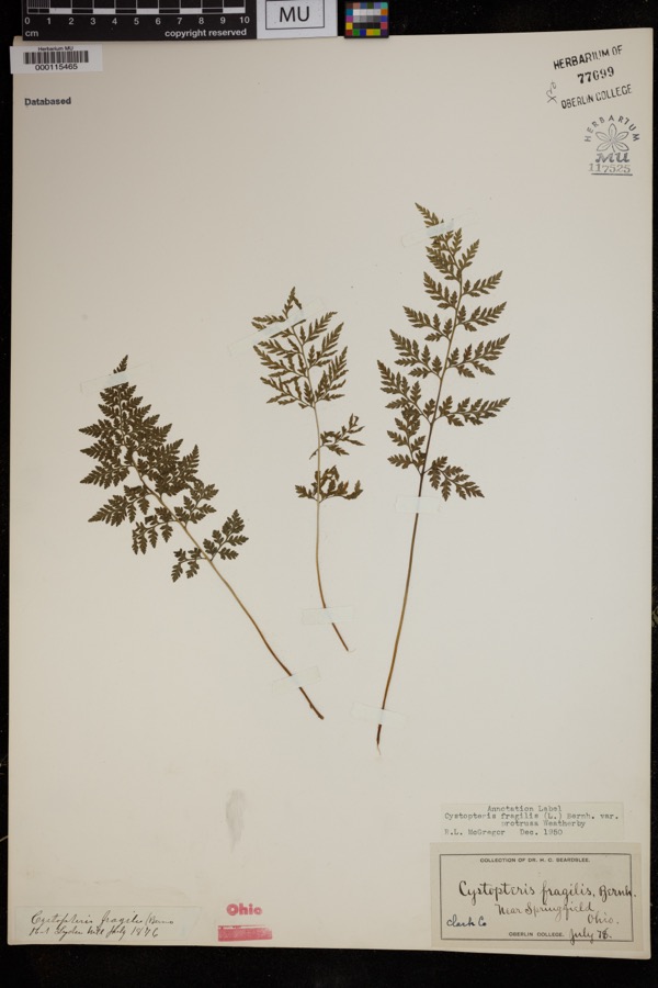
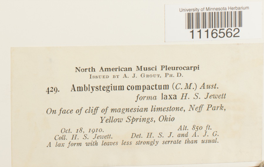
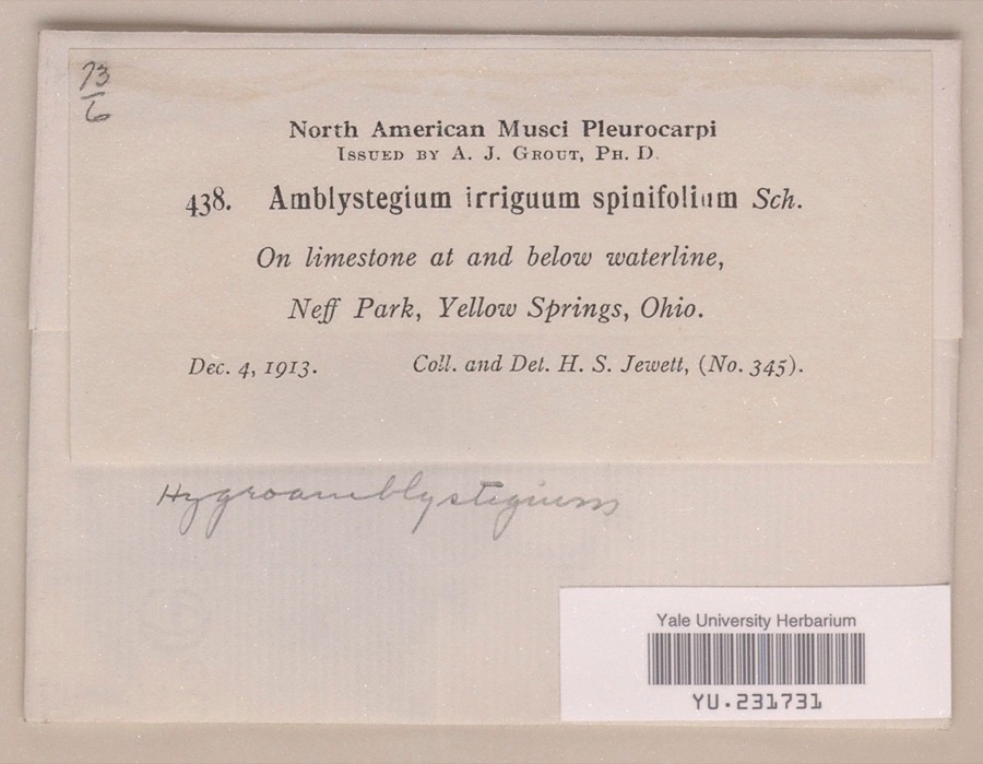
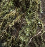
evidence. Museums hold 1,449 specimens
collected within 10 miles of East High Street District between 1840 and
1975: 975 Animalia, 333 Plantae, 138 Fungi, 2 Unrecorded, 1 Chromista. 12 distinct Species records are shown.
Collected by 73.7; J.H., ?, A JOHN and others. Each is a
physical object with a catalogue
number, and each entry opens the museum's record. This is what was
collected and kept, not a survey of what lives here - nothing can be
concluded from a species being absent.
Regional context, not property-specific
evidence. The federal mineral resources record lists
7 workings within 5 miles of East High Street District: 5 past producers, 2 producers.
2 still produce. What was taken out: Sand and Gravel, Construction, Stone, Crushed/Broken. Distance is straight-line from the
map coordinates, so a quarry counted here may appear on a neighbouring
settlement's page as well.
Regional context, not property-specific
evidence. The National Weather Service names
Springfield, the town this property stands in, in 107 storm reports between 1994 and 2023: 56 thunderstorm wind, 31 hail, 10 flash flood, 4 flood.
The reports record 2 injuries. Each account below is quoted exactly as the forecast office
filed it, from the NOAA Storm Events Database, and each date
opens the federal record of that event.
Several utility poles were down, a barn was blown off of its foundation, and minor damage occurred to a house and an apartment due to damaging thunderstorm winds.
A tornado touched down along Moorefield Road, just to the east of State Route 4. Trees were either uprooted or snapped off towards their tops with additional large limbs down from other trees. Some minor structural damage occured as well along the 250 yard damage path. The tornado was rated EF-0 with top wind speeds of 70 mph.
A barn was blown over on Victory Road. Several trees and power lines were down on Sintz Road. In another location, a roof was peeled back due to damaging thunderstorm winds.
There was scattered damage at a mobile home park affecting four mobile homes. A metal carport was heavily damaged. Three evergreen trees were also downed.
Numerous 12 to 15 inch diameter trees were downed in Snyder Park. A tree fell on a house on Upper Valley Pike. Part of the roof was removed as a result.
Three to four inches of rain fell across southern Clark County as thunderstorms pushed slowly east during the late evening. A car was washed into a flooded ditch near the Springfield Airport along US 68. High water caused several road closures across the southern part of the county, with basements flooded on the south side of Springfield.
2 papers published in this town,
digitised by the Library of Congress and free to read: 0 issues,
0 pages. Every page is searchable, so a name or a street can be
looked for directly in what the town printed about itself at the time.
No historic map-sheet match is published
for this property yet. That does not mean no map exists. This record needs
a coordinate-quality review before it can be joined to a sheet boundary.
Browse the county's mapped places while that work is
pending.
From the nomination file
3,337 words on record
When this property was proposed for the
National Register, someone wrote the case for it: what the building is,
and why it matters. That document is a federal record in the public domain.
It is quoted below word for word, never summarised. The text was read off the scanned case file by machine, so the
occasional stray character is the recogniser's and the 1970s
typewriter's.
Description of the property
where, but has often been lost. the distinction of possibly being the oldest in the district, since a Italianate brick house with low hip roof, extensive veranda with elaborate of the century, the front portion of the house was radically altered by raising the roof to a steep, pitched design and inserting a palladian limestone, perhaps locally quarried. The three-bay facade has a slightly the entablature which carries an elaborate, cast iron railing, terminating at either end in large stone baskets with 'flowers. Flanking the entrance metal (copper or lead) with a dentil molding at the roof line and an Renaissance moldings and has a moderate pitched roof. Of particular note CONDITION Unexposed Ruins are two windows with segmental arches framed by elaborate stone architraves.
The second story has three windows arranged symmetrically over the first asymmetrical and mixes roof brackets of the Italianate with simple two engaged stone pilasters of modified Corinthian design, which support Original Site the windows of which are similar to those used elsewhere on the first floor. window in the shingled attic pediment facing High Street (north facade). general configuration as the front portion of the present structure.The At some time the front veranda was also removed and a new doorway created through one of the front windows.A rear section of the house still has the three major architectural styles of the late l9th century- the 2.The Rinehart-Bowman House,8l5 E.
High St.,is a two-story, square Fair constructed of brick, but the main facade is faced with dressed The Charles M. Clark House Town Club), 805 E.
the City of Springfield of 42 lots, numbered by the city as lots 604-646. west, High Street on the north, York Street on the east and on the south in part by Mound Street, in part by Mill Run Creek. By 1856 a street Charles Clark was born in Coshocton, Ohio in 1808 and was brought to county. Although born to a poor family, he showed the industriousness of many early settlers. He built up a large wool-buying business, had acquired $25,000.00 by the time of his marriage in 1846 and held over 400 acres of land in Moorfield Township and was the largest stockholder that of the 1865-70 period when the Italianate profile of the 50's was Asa S.
Bushnell, later Governor of Ohio, was born in New York in 1834 and firms, he married Ellen Ludlow in 1857 and entered her prominent father's losophy Conservation Commerce SIGNIFICANCE Architecture Engineering Landscape Military Aboriginal Communications Music Education Pre-Columbian itarian Religion/Phi Literature Agriculture Prehistoric Social/Human- came to Springfield in l85l.After six years of clerking with several In the five years following the Civil War, the industrialization of which would win out and become the fashionable street until well past appears to be Charles M. Clark. 1900.
Starting about 1869,one major businessman after another located, of his fortune swept away.He had to sell most of his stock to remain In 1848,the brothers William and Gustavus S.Foos platted an addition to Political This is an area bounded by the Mad River and Lake Erie Railroad on the drug business.In 1867he became a partner in the agricultural Springfield moved into "high gear",so did the financial growth of the Art Industry SPECIFIC DATE(S) (If Applicable and Known) business. In this move away from the core of Springfield, many built tried to promote West High Street.
Quoted from the National Register nomination
for reference 74001412, 21 pages, held by the National Archives in Record
Group 79. See the
catalogue record.
Listed places nearby
6 within 8 miles
Other National Register properties close
enough to walk or drive between, ordered by distance from this one. Both
positions come from the same geocoding pass that matched these properties
to their map sheets.
Listing record. National Park Service National Register of Historic Places, listed-properties dataset, current to 2026-05-22.
Map join. Address geocoded through the United States Census geocoder, then tested against the published boundary of every sheet in the USGS Historical Topographic Map Collection.
How this page is made. Listing fields come from federal records; map-sheet coverage is a labelled coordinate-to-boundary calculation, not a source-field claim.
Wildfire. Short, Karen C. 2022. Spatial wildfire occurrence data for the United States, 1992-2020 [FPA_FOD_20221014]. 6th Edition. Fort Collins, CO: Forest Service Research Data Archive. https://doi.org/10.2737/RDS-2013-0009.6 Collected with United States Government funding and usable without additional permissions or fees.
Specimens. Global Biodiversity Information Facility (GBIF), https://www.gbif.org/. Only records licensed CC0 or CC BY are used. Records licensed CC BY-NC are excluded because this site carries advertising. Images are checked individually and any whose licence is non-commercial, no-derivatives or unreadable is refused.
Mines and quarries. USGS Mineral Resources Data System (MRDS) https://mrdata.usgs.gov/mrds/ A work of the United States government, no copyright under 17 U.S.C. 105.
Storms. NOAA National Centers for Environmental Information, Storm Events Database https://www.ncei.noaa.gov/stormevents/ A work of the United States government, no copyright under 17 U.S.C. 105. Narratives are quoted verbatim from the National Weather Service report and are not edited or summarised.
 Block
Block