National Register reference number.74001413- the number the National Park Service assigned this property when it was listed, and the key its nomination file is catalogued under at the National Archives.
Domint informed his visitors of bis intent to lay out a town, and offered valuable tracts of lund at low prices. John Dungherty, of Kentucky, & surveyor, was speedily engaged, nod the work of suryay commenced Mareh 17, 1801, This town plat was bounded on the south by the section line running parallel with Main Street, and distant from it south one hundred and twenty-five feet; on tho wort to the ulloy near the Prosbyterian Church; on the north to the top of tho rocks along Buck Creek; vod on the oast to the onst line of Spring Street. he number of lols incladed was eighly-two. 'They were not recorded us u town plat til 1803, What is now Columbia wag in this plat. Muin and the present Main wus enlled South Street. Mrs. Demint suggested that, on account of the numerous adjacent springs, the place should be called Springfield, and the name was adopted,
Lhe survey completed, Foose and his party returned to Fraoklington for their fumilies. In their removal with their wagons, they made the first wagon-trucle from that direction into Springfield. The jouruey oveupied four wand uw hal! days, one day being given lo crossing the Big Darby. Virst they packed their goods acrosa upon horses, and then drew their wagons over with ropes, while some Their route through the woods had to be cleared with the axe in many places. After Moos arrived, he made prepirations for the erection of nh house.
Regional context, not property-specific
evidence. The
federal wildfire occurrence database
lists 6 fires within 5 miles of Westcott House
in 2002, burning about 18 acres in total. 1 started naturally. 1 was recorded as arson.
Distance is straight-line from the map coordinates, so a fire counted
here may appear on a neighbouring settlement's page as well.
Reported cause
Fires
Missing data/not specified/undetermined
2
Natural
1
Debris and open burning
1
Recreation and ceremony
1
Arson/incendiarism
1
The most recent of
them, most recent first, with the day each was reported and the service
that recorded it.
Regional context, not property-specific
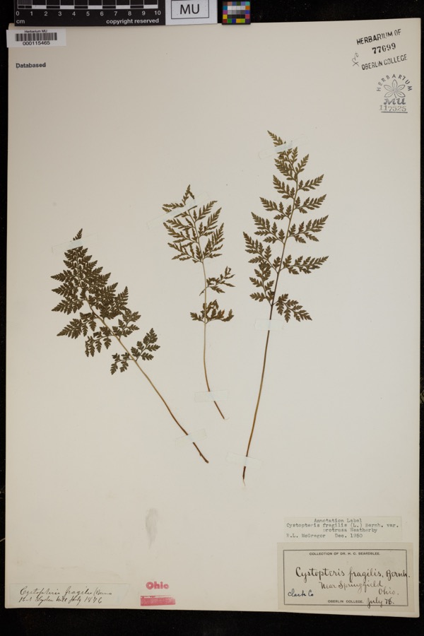
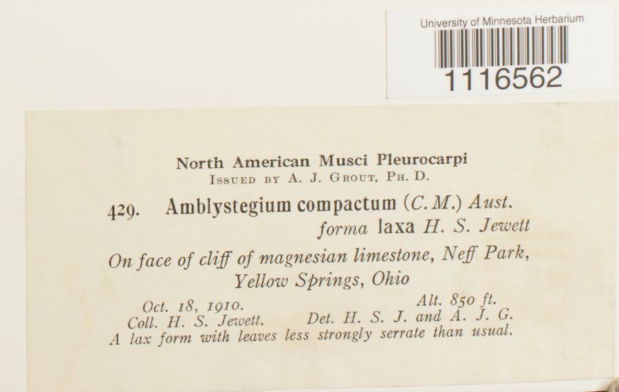
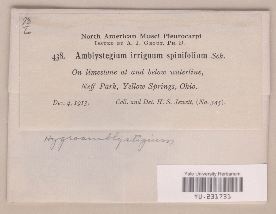
evidence. Museums hold 1,411 specimens
collected within 10 miles of Westcott House between 1840 and 1975: 944 Animalia, 329 Plantae, 135 Fungi, 2 Unrecorded, 1 Chromista.
12 distinct Species records are shown.
Collected by 73.7; J.H., ?, A JOHN and others. Each is a
physical object with a catalogue
number, and each entry opens the museum's record. This is what was
collected and kept, not a survey of what lives here - nothing can be
concluded from a species being absent.
Regional context, not property-specific
evidence. The federal mineral resources record lists
6 workings within 5 miles of Westcott House: 5 past producers, 1 producer.
1 still produces. What was taken out: Sand and Gravel, Construction. Distance is straight-line from the
map coordinates, so a quarry counted here may appear on a neighbouring
settlement's page as well.
Regional context, not property-specific
evidence. The National Weather Service names
Springfield, the town this property stands in, in 107 storm reports between 1994 and 2023: 56 thunderstorm wind, 31 hail, 10 flash flood, 4 flood.
The reports record 2 injuries. Each account below is quoted exactly as the forecast office
filed it, from the NOAA Storm Events Database, and each date
opens the federal record of that event.
Several utility poles were down, a barn was blown off of its foundation, and minor damage occurred to a house and an apartment due to damaging thunderstorm winds.
A tornado touched down along Moorefield Road, just to the east of State Route 4. Trees were either uprooted or snapped off towards their tops with additional large limbs down from other trees. Some minor structural damage occured as well along the 250 yard damage path. The tornado was rated EF-0 with top wind speeds of 70 mph.
A barn was blown over on Victory Road. Several trees and power lines were down on Sintz Road. In another location, a roof was peeled back due to damaging thunderstorm winds.
There was scattered damage at a mobile home park affecting four mobile homes. A metal carport was heavily damaged. Three evergreen trees were also downed.
Numerous 12 to 15 inch diameter trees were downed in Snyder Park. A tree fell on a house on Upper Valley Pike. Part of the roof was removed as a result.
Three to four inches of rain fell across southern Clark County as thunderstorms pushed slowly east during the late evening. A car was washed into a flooded ditch near the Springfield Airport along US 68. High water caused several road closures across the southern part of the county, with basements flooded on the south side of Springfield.
2 papers published in this town,
digitised by the Library of Congress and free to read. Every page is searchable, so a name or a street can be
looked for directly in what the town printed about itself at the time.
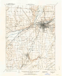
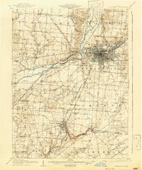
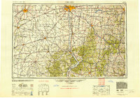
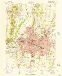
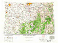
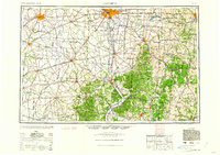
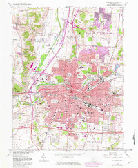
United States Geological Survey topographic
sheets whose coverage includes this point. Matched by taking the coordinate the National Park Service records for this property, then
testing that coordinate against the published boundary of every sheet.
When this property was proposed for the
National Register, someone wrote the case for it: what the building is,
and why it matters. That document is a federal record in the public domain.
It is quoted below word for word, never summarised. The text was read off the scanned case file by machine, so the
occasional stray character is the recogniser's and the 1970s
typewriter's.
Description of the property
Excellent house is rectilinear,measuring approximately forty by twenty-five flat roof and the roof overhang enhance this effect.Entrances are Westcott House is a two story Prairie style house designed by Frank to the structure. Lloyd Wright.The house was constructed in 1905.Built on a masonry The present owner does not appear to be at all - Pre-Columbian! - 15th Century -- Urban Planning - Prehistoric - Engineering - Industry - Invention - Science - Sculpture STATEMENT OF
Statement of significance
Designed by one of America's premier architects, Frank Lloyd Kansas. Wright further developed his styles in architecture, JAN 1 5 1974 Conservation Commerce Architecture Communications Landscape Transportation Aboriginal Military losophy REGISTER NATIONAL SIGNIFICANCE Religion/Phi itarian Theater Literature Education Agriculture Music Wright and other architects employed the Prairie style until and Westcott House is an important landmark.
Wright, the Prairie style Westcott House is an excellent example Social/Human- in Springfield.Wright's Prairie style evolved with the design considered to be the finest example of the Prairie style done Wright designed the house for Burton J.Westcott,an industrialist but many of his buildings retained the horizontality that was of its type.Few Wrightian buildings were constructed in Ohio, about 1917 when Wright designed his Allen House at Wichita, were designed in 1900.In 1901Wright designed the Willits House in Highland Park, Illinois.This house is generally a trademark of his Prairie style. of the Willits House.
by Wright.Westcott House is almost a model in a lower profile Political Other (Specify) PERIOD (Check One or More as Appropriate) SPECIFIC DATE(S) (It Applicable and Known) built 1905 of the Bradley and Hickox houses at Kankakee, Illinois. These Art RECEIVED AREAS OF SIGNIFICANCE (Check One or More as Appropriate) University Press, 1962.
Quoted from the National Register nomination
for reference 74001413, 11 pages, held by the National Archives in Record
Group 79. See the
catalogue record.
Listed places nearby
6 within 8 miles
Other National Register properties close
enough to walk or drive between, ordered by distance from this one. Both
positions come from the same geocoding pass that matched these properties
to their map sheets.
Listing record. National Park Service National Register of Historic Places, listed-properties dataset, current to 2026-05-22.
Map join. Address geocoded through the United States Census geocoder, then tested against the published boundary of every sheet in the USGS Historical Topographic Map Collection.
How this page is made. Listing fields come from federal records; map-sheet coverage is a labelled coordinate-to-boundary calculation, not a source-field claim.
Wildfire. Short, Karen C. 2022. Spatial wildfire occurrence data for the United States, 1992-2020 [FPA_FOD_20221014]. 6th Edition. Fort Collins, CO: Forest Service Research Data Archive. https://doi.org/10.2737/RDS-2013-0009.6 Collected with United States Government funding and usable without additional permissions or fees.
Specimens. Global Biodiversity Information Facility (GBIF), https://www.gbif.org/. Only records licensed CC0 or CC BY are used. Records licensed CC BY-NC are excluded because this site carries advertising. Images are checked individually and any whose licence is non-commercial, no-derivatives or unreadable is refused.
Mines and quarries. USGS Mineral Resources Data System (MRDS) https://mrdata.usgs.gov/mrds/ A work of the United States government, no copyright under 17 U.S.C. 105.
Storms. NOAA National Centers for Environmental Information, Storm Events Database https://www.ncei.noaa.gov/stormevents/ A work of the United States government, no copyright under 17 U.S.C. 105. Narratives are quoted verbatim from the National Weather Service report and are not edited or summarised.
 Block