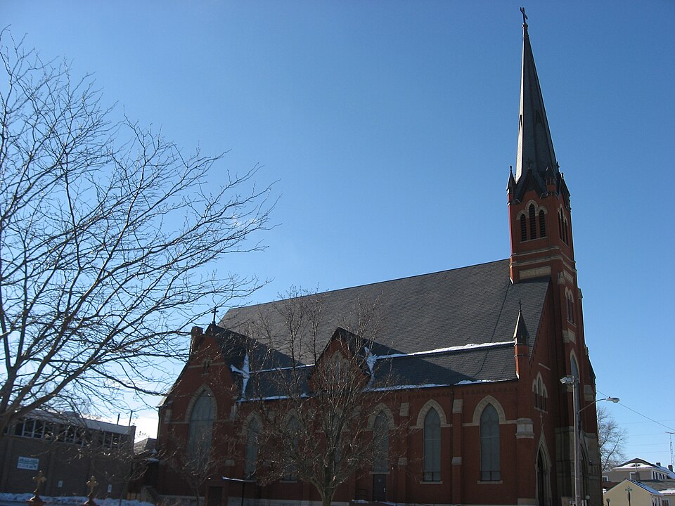
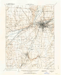
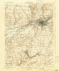
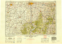
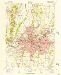
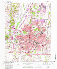
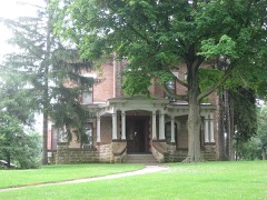
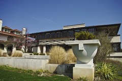
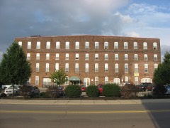
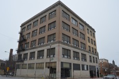
Listed on the National Register of Historic Places in 1982. 9 historic topographic surveys show this location, the earliest from 1904.
From the record
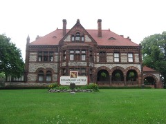
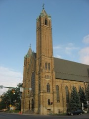
“Joseph's Church is a historic Catholic church in the city of Springfield, Ohio, United States. Established in the 1880s to serve southeastern Springfield's growing Catholic population, it uses a tall Romanesque Revival church building, which was designed by a leading city architect; the building has been named a historic site.”
Wikipedia article St. Joseph's Catholic Church (Springfield, Ohio), CC BY-SA 4.0.
One of 41 National Register listings published here for Clark County · listed in 1982 · category: Building.
National Register reference number.82003552- the number the National Park Service assigned this property when it was listed, and the key its nomination file is catalogued under at the National Archives.
Domint informed his visitors of bis intent to lay out a town, and offered valuable tracts of lund at low prices. John Dungherty, of Kentucky, & surveyor, was speedily engaged, nod the work of suryay commenced Mareh 17, 1801, This town plat was bounded on the south by the section line running parallel with Main Street, and distant from it south one hundred and twenty-five feet; on tho wort to the ulloy near the Prosbyterian Church; on the north to the top of tho rocks along Buck Creek; vod on the oast to the onst line of Spring Street. he number of lols incladed was eighly-two. 'They were not recorded us u town plat til 1803, What is now Columbia wag in this plat. Muin and the present Main wus enlled South Street. Mrs. Demint suggested that, on account of the numerous adjacent springs, the place should be called Springfield, and the name was adopted,
Lhe survey completed, Foose and his party returned to Fraoklington for their fumilies. In their removal with their wagons, they made the first wagon-trucle from that direction into Springfield. The jouruey oveupied four wand uw hal! days, one day being given lo crossing the Big Darby. Virst they packed their goods acrosa upon horses, and then drew their wagons over with ropes, while some Their route through the woods had to be cleared with the axe in many places. After Moos arrived, he made prepirations for the erection of nh house.
Regional context, not property-specific
evidence. The
federal wildfire occurrence database
lists 6 fires within 5 miles of St. Joseph Roman Catholic Church
in 2002, burning about 18 acres in total. 1 started naturally. 1 was recorded as arson.
Distance is straight-line from the map coordinates, so a fire counted
here may appear on a neighbouring settlement's page as well.
Reported cause
Fires
Missing data/not specified/undetermined
2
Natural
1
Debris and open burning
1
Recreation and ceremony
1
Arson/incendiarism
1
The most recent of
them, most recent first, with the day each was reported and the service
that recorded it.
Regional context, not property-specific
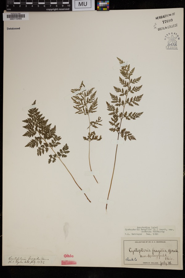
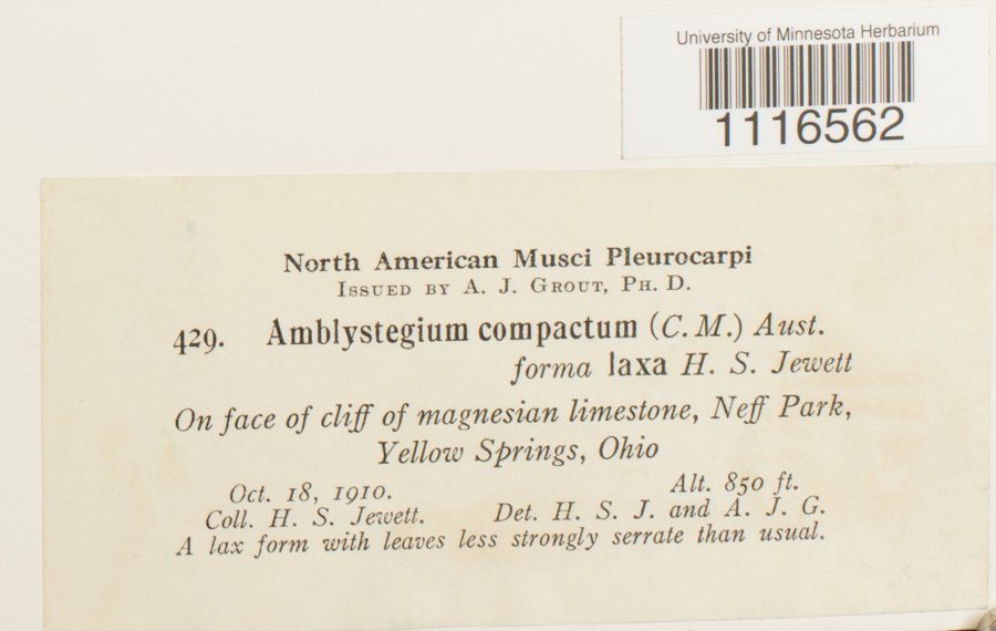
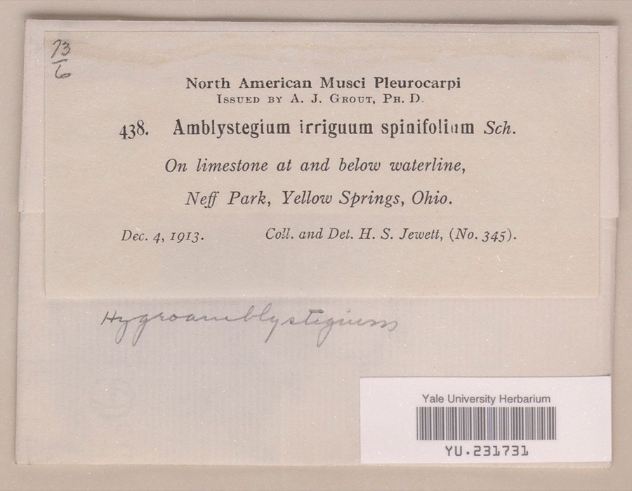
evidence. Museums hold 1,454 specimens
collected within 10 miles of St. Joseph Roman Catholic Church between 1840 and 1975: 981 Animalia, 332 Plantae, 138 Fungi, 2 Unrecorded, 1 Chromista.
12 distinct Species records are shown.
Collected by 73.7; J.H., ?, A JOHN and others. Each is a
physical object with a catalogue
number, and each entry opens the museum's record. This is what was
collected and kept, not a survey of what lives here - nothing can be
concluded from a species being absent.
Regional context, not property-specific
evidence. The federal mineral resources record lists
7 workings within 5 miles of St. Joseph Roman Catholic Church: 5 past producers, 2 producers.
2 still produce. What was taken out: Sand and Gravel, Construction, Stone, Crushed/Broken. Distance is straight-line from the
map coordinates, so a quarry counted here may appear on a neighbouring
settlement's page as well.
Regional context, not property-specific
evidence. The National Weather Service names
Springfield, the town this property stands in, in 107 storm reports between 1994 and 2023: 56 thunderstorm wind, 31 hail, 10 flash flood, 4 flood.
The reports record 2 injuries. Each account below is quoted exactly as the forecast office
filed it, from the NOAA Storm Events Database, and each date
opens the federal record of that event.
Several utility poles were down, a barn was blown off of its foundation, and minor damage occurred to a house and an apartment due to damaging thunderstorm winds.
A tornado touched down along Moorefield Road, just to the east of State Route 4. Trees were either uprooted or snapped off towards their tops with additional large limbs down from other trees. Some minor structural damage occured as well along the 250 yard damage path. The tornado was rated EF-0 with top wind speeds of 70 mph.
A barn was blown over on Victory Road. Several trees and power lines were down on Sintz Road. In another location, a roof was peeled back due to damaging thunderstorm winds.
There was scattered damage at a mobile home park affecting four mobile homes. A metal carport was heavily damaged. Three evergreen trees were also downed.
Numerous 12 to 15 inch diameter trees were downed in Snyder Park. A tree fell on a house on Upper Valley Pike. Part of the roof was removed as a result.
Three to four inches of rain fell across southern Clark County as thunderstorms pushed slowly east during the late evening. A car was washed into a flooded ditch near the Springfield Airport along US 68. High water caused several road closures across the southern part of the county, with basements flooded on the south side of Springfield.
2 papers published in this town,
digitised by the Library of Congress and free to read. Every page is searchable, so a name or a street can be
looked for directly in what the town printed about itself at the time.
United States Geological Survey topographic
sheets whose coverage includes this point. Matched by taking the coordinate the National Park Service records for this property, then
testing that coordinate against the published boundary of every sheet.
When this property was proposed for the
National Register, someone wrote the case for it: what the building is,
and why it matters. That document is a federal record in the public domain.
It is quoted below word for word, never summarised. The text was read off the scanned case file by machine, so the
occasional stray character is the recogniser's and the 1970s
typewriter's.
Description of the property
St. Joseph Church is a rectangular brick structure, approximately 5 6'wide by brickwork machiolations at the eaves. :: at the 4th floor level and,is fitted with a triplet, louvered gothic bay on each side. The use of the central tower and machiolations provides the building with a feeling of the Early Romanesque Revival. This, however, is counterbalanced by the vaulting. The side aisles are covered again with plaster vaulting. However, the curve is so flat as to give the impression of Romanesque barrel vaulting, rather Condition ruins date unexposed fair than gothic. Check one Xoriginal site The three doorways are faced with quasi-gothic stone dressings.Above each side This eclecticism is reflected in the interior as well.
These butresses are of brick with stone dressings some cf which have shallow bas relief gothic tracery. The exterior walls on the long sides rise gothic ribing.. Along the sides of the cei ling a blind clerestory is worked into.the The long side facing the southeast duplicates the Central avenue side, with the door is a triplet gothic window with large lancet window in tower over central door. distance above the sharply pitched roof.Solid brick turrets & finials at the two corners. ersatz brick buttresses along each long side.The building is seated ona rock-faced flights o.f stone stairs on either side of a central doorway.
This central.doorway The effect of a transcept is created by projecting a massive gable from the roof to years a dark ochre color with a paint & sand mixture to imitate stone.There are7 banks of pews and a side aisle on either side of these.The original oak pews bought in 19ol were replaced with new ones ofa modernistic design within the last two years.
(in one paragraph) the brilliant Springfield architect, Charles Cregar (or Creager), yet is so radically different from many of his other commissions, many of which were exactly contem- idiom, although he had done considerable commercial design in a late Italianate, early building with towers in a Romanesque mood, but transformed into a gothic revival different approach. Due no doubt to the financial capability of the parish, brick was style in an inappropriate medium, or utilizing a different approach, he chose the lations. In keeping with current liturgical fashions, however, he did introduce City Building has long dominated local opinions of his productions, typecasting him into one role, St.
Joseph Church is a delightful contradiction to any statement of lack of originality on his part. 1894 with cornerstone dedication on May 13, 1894. Structural work completed and 1600-1699 1700-1799 1400-1499 economics engineering industry communications invention 1500-1599 education Period theater music 1904.) 1900- conservation porary designs. Creager had acheived his reputation with the Richardsonian Roman- The design of St. Joseph Church therefore has the greatest significance by showing shows Creager only one step removed from the City Building.Itis a massive stone other (specify) designing the polygonal, Third Presbyterian Church --also now on the Register. certain situations and restrictions.
Quoted from the National Register nomination
for reference 82003552, 20 pages, held by the National Archives in Record
Group 79. See the
catalogue record.
Listed places nearby
6 within 8 miles
Other National Register properties close
enough to walk or drive between, ordered by distance from this one. Both
positions come from the same geocoding pass that matched these properties
to their map sheets.
Listing record. National Park Service National Register of Historic Places, listed-properties dataset, current to 2026-05-22.
Map join. Address geocoded through the United States Census geocoder, then tested against the published boundary of every sheet in the USGS Historical Topographic Map Collection.
How this page is made. Listing fields come from federal records; map-sheet coverage is a labelled coordinate-to-boundary calculation, not a source-field claim.
Wildfire. Short, Karen C. 2022. Spatial wildfire occurrence data for the United States, 1992-2020 [FPA_FOD_20221014]. 6th Edition. Fort Collins, CO: Forest Service Research Data Archive. https://doi.org/10.2737/RDS-2013-0009.6 Collected with United States Government funding and usable without additional permissions or fees.
Specimens. Global Biodiversity Information Facility (GBIF), https://www.gbif.org/. Only records licensed CC0 or CC BY are used. Records licensed CC BY-NC are excluded because this site carries advertising. Images are checked individually and any whose licence is non-commercial, no-derivatives or unreadable is refused.
Mines and quarries. USGS Mineral Resources Data System (MRDS) https://mrdata.usgs.gov/mrds/ A work of the United States government, no copyright under 17 U.S.C. 105.
Storms. NOAA National Centers for Environmental Information, Storm Events Database https://www.ncei.noaa.gov/stormevents/ A work of the United States government, no copyright under 17 U.S.C. 105. Narratives are quoted verbatim from the National Weather Service report and are not edited or summarised.
 Block