Listed on the National Register of Historic Places in
1974. A historic map-sheet match is not published yet. The record needs a coordinate-quality review before it can be joined to a sheet boundary.
From the record
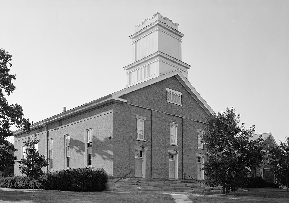
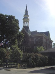
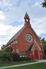
“Congregational Church of Christ is a historic church at W. Currently the church is occupied by a United Church of Christ congregation.”
Wikipedia article Congregational Church of Christ, CC BY-SA 4.0.
one of 113 National Register listings in Lorain County · listed in 1974 · category: Building · one of 2 National Historic Landmarks in Lorain County.
National Register reference number.74001554- the number the National Park Service assigned this property when it was listed, and the key its nomination file is catalogued under at the National Archives.
One of the young men especially, who left his studies at Oberlin to help Mr. Shiphcrd and his family on their journey, Albertus Green, from Lan- N.Y., proved himself a most enterprising and efficient business manager ; and the little community again and again assessed upon themselves the cost of some new extension or addition to the advantages of the college, thus proved their vitality, and secured the confidence of the people of the State. For many years they drew their teachers almost wholly from Oberlin, but at length they could call men from -crn colleges, and have now reached the stage where they find satisfactory professors among their own alumni.
A few families went out from Oberlin to Southa, in 1848, with the purpose of establishing a Christian settlement and Christian institutions in advance of the tide of emigration which turning in that direction. They first settled upon the Missouri bottom, a few miles north of the State line. Th< y had no minister, and only at rare intertching of any kind ; but they maintained re- 1 ings and a Sabbath-school, organized a ' the co-operation of
Regional context, not property-specific
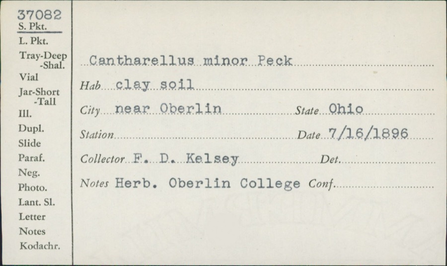
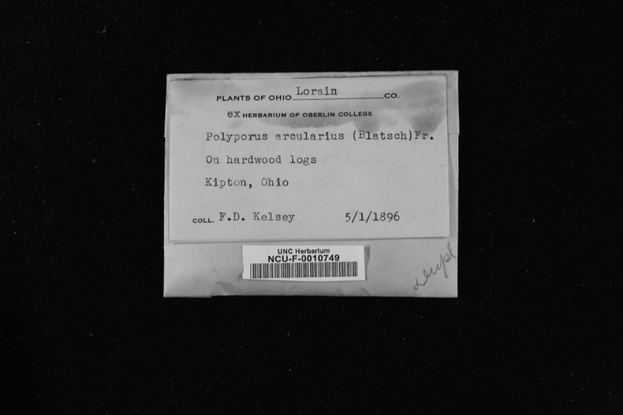
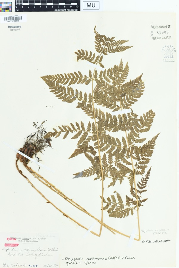
evidence. Museums hold 1,714 specimens
collected within 10 miles of Congregational Church of Christ between 1852 and
1975: 850 Animalia, 607 Fungi, 221 Plantae, 15 Protozoa, 13 Chromista, 8 Unrecorded. 12 distinct Species records are shown.
Collected by A. E. Recksecker, A. E. Ricksecker, A. M. Evans and others. Each is a
physical object with a catalogue
number, and each entry opens the museum's record. This is what was
collected and kept, not a survey of what lives here - nothing can be
concluded from a species being absent.
Regional context, not property-specific
evidence. The National Weather Service names
Oberlin, the town this property stands in, in 28 storm reports between 1997 and 2024: 17 thunderstorm wind, 7 hail, 4 flash flood.
No death or injury is recorded in these reports. Each account below is quoted exactly as the forecast office
filed it, from the NOAA Storm Events Database, and each date
opens the federal record of that event.
Flash flooding reported in Oberlin and Pittsfield Township due to heavy rainfall. Several reports of flooded basements. OH-303 closed between Pitts Road and Quarry Road due to flash flooding. Radar estimated 2.5 to 3.5 inches of rainfall in a three hour period.
Thunderstorm winds downed many trees and large limbs across the county. The Oberlin, Kipton and Elyria areas were especially hard hit. A barn was blown down in Eaton Township. A car was crushed by a tree in Elyria. A peak wind gust of 54 mph was measured at the Lorain County Airport near Elyria.
Six to eight inches of flowing water was reported across US-20 near the OH-511 interchange east of Oberlin. Radar estimated around 2 inches of rainfall in one hour at this location.
Strong thunderstorms with rain, wind, and hail moved over portions of Lorain County. Rainfall rates approaching two inches per hour were reported with this storm. Flooding occurred in Oberlin with several roads impassable with water up to the hoods on cars.
Heavy thunderstorm rains caused widespread street flooding in Oberlin. Water on some roads was over two feet in depth forcing several motorists to abandon their vehicles.
No historic map-sheet match is published
for this property yet. That does not mean no map exists. This record needs
a coordinate-quality review before it can be joined to a sheet boundary.
Browse the county's mapped places while that work is
pending.
Named in the fire insurance atlases
Sanborn surveyors printed an index of the
town's establishments at the front of each atlas. This property is named in
one, read straight off the scanned sheet.
When this property was proposed for the
National Register, someone wrote the case for it: what the building is,
and why it matters. That document is a federal record in the public domain.
It is quoted below word for word, never summarised. The text was read off the scanned case file by machine, so the
occasional stray character is the recogniser's and the 1970s
typewriter's.
Description of the property
There is a wooden cornice, but the frieze is merely suggested panes were replaced with colored glass, and then later restored central stair to the loft removed, and a permanent pulpit installed projects a great feeling of the authenticity of the early period. of either the 1873 or 1909 condition. APR 2 3 1974 DESCRIPTION REG with clear glass again, carefully made antique-looking. The tower is in two boxlike stages with heavy cornices and corner pilasters; Moved century with iron posts. The 66 foot interior span is achieved by Greek Revival style.The foundations and lintels are sandstone. span the interior balcony.
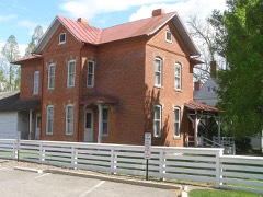
In the late nineteenth century the clear The interior has a horseshoe gallery, originally supported by remodeled in 1909 and now called James Brand House, this building rebuilt.as church offices that the interior has none of the integrity Fair in place of the earlier movable one. Nevertheless, the interior massive trusses 2o feet high. The original box pews are present. wooden Doric columns that were replaced late in the nineteenth the top is an irregular parapet. would logically have been included in a district with the Church.
bya modern narthex in 1966.Built as a chapel in 1873,subsequently (Check One) The church was connected to the parish house to the north The west end (pulpit and choir area) was remodeled in 1927,a Good This is a large brick church building, 70 x 100 feet, in the plain pilaster strips with no decoration.
The First Church in Oberlin is one of the most important Greek Revival churches in northern Ohio, both for its historical associations with Oberlin College, and the extreme simplicity and excellence of proportion in its design. In fact it is the only build- of the society. 1834, and was an integral part of Oberlin College from the begin- The preachers were faculty members; students were required to attend. As the size of the town population and the student body made a large permanent meeting place imperative, the church Construction was not completed until 1844, and the tower built in 1845. The plan was provided by an architect from Boston, a friend One incident will illustrate the community involvement of the church and college.
When twenty-nine Oberlin citizens were included the superintendent of the Sunday School and the professor in triumph to Oberlin, the welcoming ceremonies were held at 1842-1844 Commerce Conservation Military Communications Architecture losophy Agriculture Aboriginal SIGNIFICANCE Invention Social/Human- Pre-Columbian Music of Moral Philosophy.When they were later released and returned The Congregational Church of Christ at Oberlin was founded in the Meeting House. but as a Meeting House, a true community center for all members supervisor was Thomas Porter Turner, a carpenter from Vermont. arrested in 1859 for assisting the escape of a fugitive slave, they 2 3 1974 REGISTER ing surviving from the pre-Civil War days of Oberlin College.
a meeting house." The cornerstone was laid on June 17, 1842. NATIONAL itarian RECEIVED society voted in February,1842,"to take measures for building Art Robert S. Fletcher, A History of Oberlin College (Oberlin, 1943), II, 572-575.
Quoted from the National Register nomination
for reference 74001554, 11 pages, held by the National Archives in Record
Group 79. See the
catalogue record.
Listed places nearby
6 within 8 miles
Other National Register properties close
enough to walk or drive between, ordered by distance from this one. Both
positions come from the same geocoding pass that matched these properties
to their map sheets.
Listing record. National Park Service National Register of Historic Places, listed-properties dataset, current to 2026-05-22.
Map join. Address geocoded through the United States Census geocoder, then tested against the published boundary of every sheet in the USGS Historical Topographic Map Collection.
How this page is made. Listing fields come from federal records; map-sheet coverage is a labelled coordinate-to-boundary calculation, not a source-field claim.
Specimens. Global Biodiversity Information Facility (GBIF), https://www.gbif.org/. Only records licensed CC0 or CC BY are used. Records licensed CC BY-NC are excluded because this site carries advertising. Images are checked individually and any whose licence is non-commercial, no-derivatives or unreadable is refused.
Storms. NOAA National Centers for Environmental Information, Storm Events Database https://www.ncei.noaa.gov/stormevents/ A work of the United States government, no copyright under 17 U.S.C. 105. Narratives are quoted verbatim from the National Weather Service report and are not edited or summarised.
 Block
Block