Listed on the National Register of Historic Places in
1974. A historic map-sheet match is not published yet. The record needs a coordinate-quality review before it can be joined to a sheet boundary.
From the record
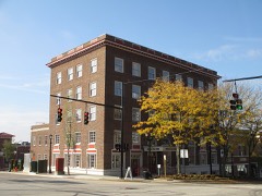
“The Kent Industrial District is a historic district in Kent, Ohio, United States, listed on the National Register of Historic Places. The district covers around 4.3 acres (1.7 ha) of downtown Kent on either side of the Cuyahoga River and is roughly bounded by West Main Street on the north, River Street to the west, Franklin Avenue to the east and Haymaker Parkway to the south.”
Wikipedia article Kent Industrial District, CC BY-SA 4.0.
one of 42 National Register listings in Portage County · listed in 1974 · category: District.
National Register reference number.74001603- the number the National Park Service assigned this property when it was listed, and the key its nomination file is catalogued under at the National Archives.
The ground it stands on
3,758 words
The chapter on Kent City in A Visitation of the County of Kent, published 1906 names Kent. This is what it says, exactly as the scans read.
Stowe MS. 621 in the British Museum, formerly the property of John Holland, is described in the catalogue : « Original Pedigrees of Kentish Families to 1663 (in which year Bysshe made a Visitation of the County), with the signatures of members of the several families, f. 2," and on the title page is written " A peice of the Visitation of Kent." This manuscript contains sixteen pedigrees in the same handwriting as the Heralds' College copy, and all signed by the heads of the families or their representatives, whereas the pedigrees of the same families lare not signed in the College copy, so it would seem that some of the original pages had been mislaid and a copy substituted for them in the official copy in the College. These pedigrees are marked (Stowe MS. 621) in the reference.
These complaints were delivered to Sir Edward Bysshe by his own request by Sir Edward Walker, Garter King of Arms.* He appaiently disregarded them, for at fo. 100 we find that an order was made by James, Earl of Suffolk, deputy to the Earl Marshal, prohibiting Sir Edward Bysshe to make airy new Visitations until he had rectified the errors and defects of the books of his Visitation of Kent (among others). There is in Add. MS. 22,883 a summary of the alleged errors in this Visitation, as follows : - have been done." It is curious to note that these complaints were mostly made between 1670 and 1674, whereas the Visitation is said to have been finished in 1668, but there is no further reference to them in the correspondence. Sir Edward Bysshe died in 1679.f
Regional context, not property-specific
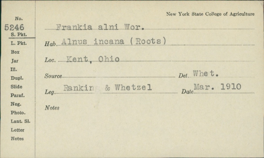
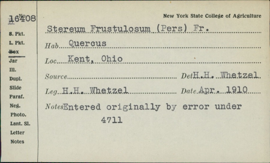
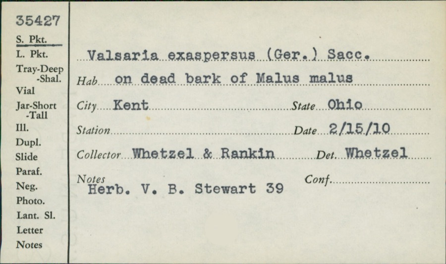
evidence. Museums hold 770 specimens
collected within 10 miles of Kent Industrial District between 1883 and
1975: 498 Animalia, 232 Plantae, 33 Fungi, 5 Unrecorded, 1 Protozoa, 1 Bacteria. 12 distinct Species records are shown.
Collected by A. D. Huryn, A. F. Clewell, A. K. Wyatt and others. Each is a
physical object with a catalogue
number, and each entry opens the museum's record. This is what was
collected and kept, not a survey of what lives here - nothing can be
concluded from a species being absent.
Regional context, not property-specific
evidence. The federal mineral resources record lists
12 workings within 5 miles of Kent Industrial District: 5 past producers, 5 producers, 2 plants.
7 still produce. What was taken out: Sand and Gravel, Construction. Distance is straight-line from the
map coordinates, so a quarry counted here may appear on a neighbouring
settlement's page as well.
Regional context, not property-specific
evidence. The National Weather Service names
Kent, the town this property stands in, in 34 storm reports between 1994 and 2025: 25 thunderstorm wind, 8 hail, 1 flash flood.
No death or injury is recorded in these reports. Each account below is quoted exactly as the forecast office
filed it, from the NOAA Storm Events Database, and each date
opens the federal record of that event.
A thunderstorm downburst with winds estimated at 85 to 95 mph hit the west side of Kent. The area affected by the downburst was one quarter wide mile and approximately a mile in length. Several hundred trees and 40 power poles were downed. A total of 25 homes were damaged including four that were declared unhabitable. In addition, a camper and over a dozen automobiles were crushed by fallen trees. Widespread power outages occurred and a state of emergency was put in effect because of the widespread and severe damage.
Widespread flash flooding in Kent and Ravenna. Several roads flooded and impassable with several feet of standing water, including OH-59 between downtown Ravenna and OH-44. Dispatch received 30 calls to assist motorists stranded in flood waters. Widespread basement flooding reported. Radar estimates and gauge measurements indicate 3 to 3.25 inches of rainfall in a two hour period.
Thunderstorm winds downed between 15 and 20 trees in Kent and surrounding Franklin Township. Two houses in Kent were damaged by fallen trees. Both houses sustained roof damage with one also having a wall knocked down.
Members of the public and social media indicated tree damage in Kent. Two trees were downed on Riverbend Trail and three trees were downed in Artemis Drive Park.
Trained spotter's personal weather station recorded a peak convective gust of 80 mph about 1.5-miles southwest of Kent. Numerous large trees were snapped in the area.
No historic map-sheet match is published
for this property yet. That does not mean no map exists. This record needs
a coordinate-quality review before it can be joined to a sheet boundary.
Browse the county's mapped places while that work is
pending.
From the nomination file
3,498 words on record
When this property was proposed for the
National Register, someone wrote the case for it: what the building is,
and why it matters. That document is a federal record in the public domain.
It is quoted below word for word, never summarised. The text was read off the scanned case file by machine, so the
occasional stray character is the recogniser's and the 1970s
typewriter's.
Description of the property
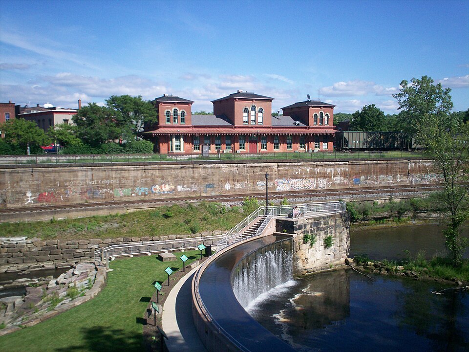
Just south of the bridge is a concave stone dam built in the late 1830's to impound the river for navigation and water power. Immediately east of the dam is the site of a lock on the Pennsyl- vania and Ohio Canal. There are no remains of the canal, and the completes the stone dam. On the east bank, standing behind a high retaining wall above the river, is a railroad depot building in the Italian Villa or Tuscan On the west bank, between River Street and the river and just The arrangement of the windows, with flat lintels, is completely west foundation wall is carved from the living rock of the river bluff. floors are supported by timber joists, with a series of wooden posts on the center axis.
The posts are square on the ground floor, and the topmost story, the nearly 50 foot span is completely clear, made CONDITION Deteriorated Ruins highway street. This district comprises an area on both sides of the Cuyahoga south, west and north. Originally containing passenger and baggage stands vacant.
possible by the roof trusses.On the west facade there is a stairwell slightly hipped roofs are bracketed.A projecting roof supported by regular.The ground story walls are stone and three feet thick.The round columns on the next three.The blocks between posts and freight elevator has been installed at the northeast corner.Office turning at the landing.There have been few structural changes to brackets surrounds the building at the first story on three sides, joists have concave chamfered corners as a visual refinement. removed from the roof.The exterior has been painted white.A alter the original appearance.A set of dormer windows has been ural system.There are traces of the mill race on the river side.
established, including woolen mills, sawmills, grist-mills, glass included such Cleveland men an Truman P. Handy, Sherlock Andrews dam and a covered wooden bridge on the site of the present stone Western Railway in 1863. The railroad was the conception of Marvin Kent, son of Zenas Kent. He began in his father's mercantile business, and after 1837 to St.
Louis, and thus was one of the most important railroads ition, discouragement and difficulty, the Atlantic & Great Western 1836-1910 Commerce Transportation losophy Engineering Military Communications Aboriginal Architecture Literature Education Science Religion/Phi Theater Music Landscape itarian Prehistoric Social/Human- Sculpture and Solomon Severance.This company erected the existing stone soon transferred to the Franklin Silk Company, whose members Political SIGNIFICANCE This district is an area which reveals two major phases in the history of Kent--the early manufacturing period and the rail- factories and tanneries.In 1836 the Franklin Land Company bought several years. After working also in the flour and glass factories, road era. and Marvin Kent.
They erected the existing cotton mill in 185l, 300 acres along the Cuyahoga from Zenas Kent, an early settler, Cuyahoga River, first known as Carthage and Franklin Mills and Conservation Invention carpenter and joiner, and merchant.The company's interest was later simply as Upper Village and Lower Village. From the early managed the tannery built by John Brown (National Register) for Agriculture president, and ground was broken in 1853.
Quoted from the National Register nomination
for reference 74001603, 22 pages, held by the National Archives in Record
Group 79. See the
catalogue record.
Listed places nearby
6 within 8 miles
Other National Register properties close
enough to walk or drive between, ordered by distance from this one. Both
positions come from the same geocoding pass that matched these properties
to their map sheets.
Listing record. National Park Service National Register of Historic Places, listed-properties dataset, current to 2026-05-22.
Map join. Address geocoded through the United States Census geocoder, then tested against the published boundary of every sheet in the USGS Historical Topographic Map Collection.
How this page is made. Listing fields come from federal records; map-sheet coverage is a labelled coordinate-to-boundary calculation, not a source-field claim.
Specimens. Global Biodiversity Information Facility (GBIF), https://www.gbif.org/. Only records licensed CC0 or CC BY are used. Records licensed CC BY-NC are excluded because this site carries advertising. Images are checked individually and any whose licence is non-commercial, no-derivatives or unreadable is refused.
Mines and quarries. USGS Mineral Resources Data System (MRDS) https://mrdata.usgs.gov/mrds/ A work of the United States government, no copyright under 17 U.S.C. 105.
Storms. NOAA National Centers for Environmental Information, Storm Events Database https://www.ncei.noaa.gov/stormevents/ A work of the United States government, no copyright under 17 U.S.C. 105. Narratives are quoted verbatim from the National Weather Service report and are not edited or summarised.
 Block
Block