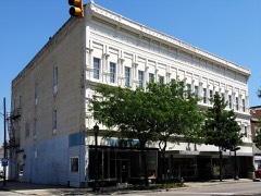
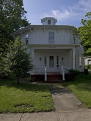
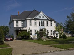
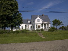
Listed on the National Register of Historic Places in
1975. A historic map-sheet match is not published yet. The record needs a coordinate-quality review before it can be joined to a sheet boundary.
From the record
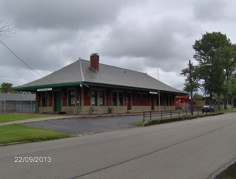
“Conneaut is a former New York Central train station in the U.S. town of Conneaut, Ohio. It was built in 1900 by the Lake Shore and Michigan Southern as a replacement for an older wooden depot, then acquired by the New York Central Railroad in 1914, along with the rest of the LS&MS.”
Wikipedia article Conneaut station, CC BY-SA 4.0.
one of 36 National Register listings in Ashtabula County · listed in 1975 · category: Building · one of 1 National Historic Landmarks in Ashtabula County.
National Register reference number.75001314- the number the National Park Service assigned this property when it was listed, and the key its nomination file is catalogued under at the National Archives.
Regional context, not property-specific
evidence. Museums hold 310 specimens
collected within 10 miles of Lake Shore And Michigan Southern Passenger Depot between 1880 and
1975: 306 Animalia, 3 Plantae, 1 Fungi. 12 distinct Species records are shown.
Collected by A. Woolman, Allen, T.F., Armbruster, D. C. (Daniel C.) and others. Each is a
physical object with a catalogue
number, and each entry opens the museum's record. This is what was
collected and kept, not a survey of what lives here - nothing can be
concluded from a species being absent.
Regional context, not property-specific
evidence. The federal mineral resources record lists
8 workings within 5 miles of Lake Shore And Michigan Southern Passenger Depot: 4 past producers, 3 producers, 1 plant.
4 still produce. What was taken out: Sand and Gravel, Construction, Stone, Crushed/Broken. Distance is straight-line from the
map coordinates, so a quarry counted here may appear on a neighbouring
settlement's page as well.
Regional context, not property-specific
evidence. The National Weather Service names
Conneaut, the town this property stands in, in 28 storm reports between 1994 and 2023: 13 thunderstorm wind, 9 hail, 2 flash flood, 2 waterspout.
No death or injury is recorded in these reports. Each account below is quoted exactly as the forecast office
filed it, from the NOAA Storm Events Database, and each date
opens the federal record of that event.
A band of showers and thunderstorms enhanced by the warm waters of Lake Erie moved into Conneaut on the morning of the 22nd, producing significant flash flooding along the lakeshore. Doppler radar estimated between 3.5 and 5 inches of rain fell throughout the city of Conneaut in less than 1.5 hours. Major street flooding occurred, with semi trucks stranded and numerous underpasses flooded. Many structures were inundated, including a restaurant on Broad Street.
Heavy rain and rapid snow melt led to a rapid rise in rivers and streams across Ashtabula County. Rainfall amounts of 2 to 2.25 fell on top of six to ten inches of heavy snow. This snow rapidly melted as temperatures warmed into the 50s on the 28th. Up to an additional inch of water equivalent rainfall was released from the melted snow. Small streams and creeks came out of banks flooding farmland, roads, and a few homes.
No historic map-sheet match is published
for this property yet. That does not mean no map exists. This record needs
a coordinate-quality review before it can be joined to a sheet boundary.
Browse the county's mapped places while that work is
pending.
From the nomination file
1,813 words on record
When this property was proposed for the
National Register, someone wrote the case for it: what the building is,
and why it matters. That document is a federal record in the public domain.
It is quoted below word for word, never summarised. The text was read off the scanned case file by machine, so the
occasional stray character is the recogniser's and the 1970s
typewriter's.
Description of the property
The two doors on each facade lead to the men's and women's ticket office. The interior is largely intact. The women's room contains a model railroad display (HO gauge),library and storage. tion,30 x 100 feet outside dimensions.The low-slung building is RBCEIVED DECC3 11974
Statement of significance
made up of three shorter roads connecting Buffalo, Erie, Toledo New York Central, and in 1873 Commodore Vanderbilt was presid- Southern, the New York Central & Hudson River Railroad, and several other lines formed the New York Central Company. ral, the "Nickel Plate Road," and the Bessemer & Lake Erie Rail- Road. Originally the New York, Chicago & St. Louis Railroad Southern. Completed in record time, the Nickel Plate gained a and just to the south of the New York Central through Conneaut. to Cleveland. 1900 Commerce Conservation Transportation Engineering Science Literature losophy Communications Aboriginal ger depot. It is also significant for its present adaptive use as a Military Music a dedication was held in May, 1966.
Social/Human- Invention Political Agriculture Theater Landscape itarian The depot is still owned by the Penn Central Company, and Sculpture Pre-Columbian Education in 1880 to compete with Vanderbilt's Lake Shore and Michigan Chapter of the National Railway Historical Society.Plans to make Today the museum displays equipment of the New York Cent- connects it with Pittsburgh.The heavy-duty line carries iron ore, at the mouth of Conneaut Creek, where Moses Cleaveland made Industry and Chicago.They served as a logical western extension of the Religion/Phi. This building is an important representative of a rapidly coal and coke between the steel center and Conneaut, making Architecture and economy of Conneaut.
of the Lake Shore & Michigan Southern Railroad.This line was The building was constructed in 19oo as the passenger depot a museum began in 1960,negotiations were completed in 1963, and A hopper car and caboose were donated by the Bessemer & Art (now the Norfolk and Western),the Nickel Plate was conceived ent of the consolidated railroad.In 19l4 the Lake Shore & Michigan road.
Quoted from the National Register nomination
for reference 75001314, 10 pages, held by the National Archives in Record
Group 79. See the
catalogue record.
Listed places nearby
6 within 8 miles
Other National Register properties close
enough to walk or drive between, ordered by distance from this one. Both
positions come from the same geocoding pass that matched these properties
to their map sheets.
Listing record. National Park Service National Register of Historic Places, listed-properties dataset, current to 2026-05-22.
Map join. Address geocoded through the United States Census geocoder, then tested against the published boundary of every sheet in the USGS Historical Topographic Map Collection.
How this page is made. Listing fields come from federal records; map-sheet coverage is a labelled coordinate-to-boundary calculation, not a source-field claim.
Specimens. Global Biodiversity Information Facility (GBIF), https://www.gbif.org/. Only records licensed CC0 or CC BY are used. Records licensed CC BY-NC are excluded because this site carries advertising. Images are checked individually and any whose licence is non-commercial, no-derivatives or unreadable is refused.
Mines and quarries. USGS Mineral Resources Data System (MRDS) https://mrdata.usgs.gov/mrds/ A work of the United States government, no copyright under 17 U.S.C. 105.
Storms. NOAA National Centers for Environmental Information, Storm Events Database https://www.ncei.noaa.gov/stormevents/ A work of the United States government, no copyright under 17 U.S.C. 105. Narratives are quoted verbatim from the National Weather Service report and are not edited or summarised.
 Block
Block