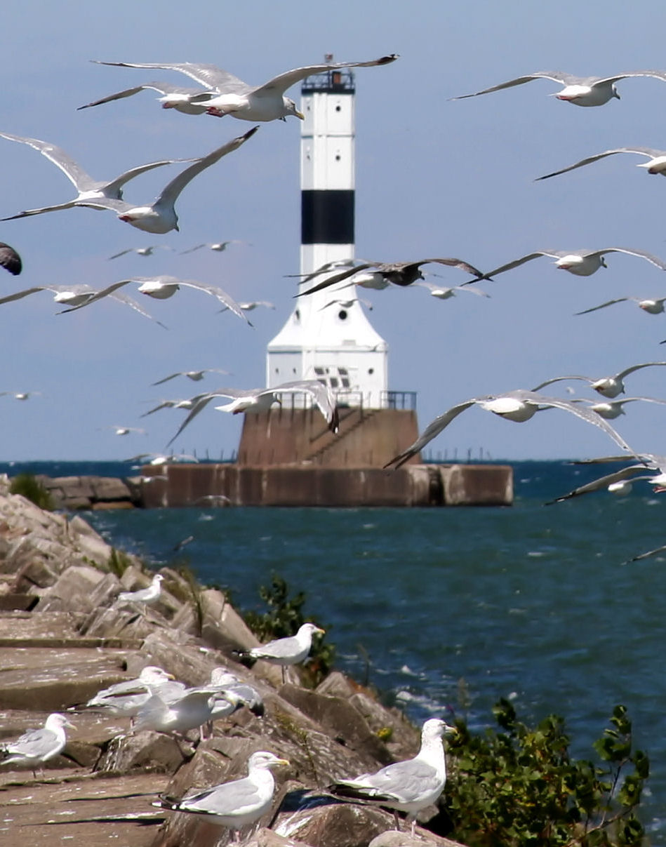
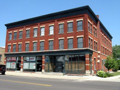
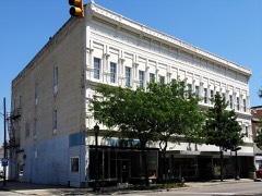
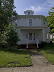
Built in 1905. Listed on the National Register of Historic Places in
1992. A historic map-sheet match is not published yet. The record needs a coordinate-quality review before it can be joined to a sheet boundary.
From the record
one of 36 National Register listings in Ashtabula County · listed in 1992 · category: Structure · built in 1905 · one of 1 National Historic Landmarks in Ashtabula County.
National Register reference number.92000243- the number the National Park Service assigned this property when it was listed, and the key its nomination file is catalogued under at the National Archives.
Specimens collected near this property
12 of 308 shown
Regional context, not property-specific
evidence. Museums hold 308 specimens
collected within 10 miles of Conneaut Harbor West Breakwater Light between 1880 and
1975: 304 Animalia, 3 Plantae, 1 Fungi. 12 distinct Species records are shown.
Collected by A. Woolman, Allen, T.F., Armbruster, D. C. (Daniel C.) and others. Each is a
physical object with a catalogue
number, and each entry opens the museum's record. This is what was
collected and kept, not a survey of what lives here - nothing can be
concluded from a species being absent.
Regional context, not property-specific
evidence. The federal mineral resources record lists
2 workings within 5 miles of Conneaut Harbor West Breakwater Light: 1 past producer, 1 plant.
1 still produces. What was taken out: Sand and Gravel, Construction, Stone, Crushed/Broken. Distance is straight-line from the
map coordinates, so a quarry counted here may appear on a neighbouring
settlement's page as well.
Regional context, not property-specific
evidence. The National Weather Service names
Conneaut, the town this property stands in, in 28 storm reports between 1994 and 2023: 13 thunderstorm wind, 9 hail, 2 flash flood, 2 waterspout.
No death or injury is recorded in these reports. Each account below is quoted exactly as the forecast office
filed it, from the NOAA Storm Events Database, and each date
opens the federal record of that event.
A band of showers and thunderstorms enhanced by the warm waters of Lake Erie moved into Conneaut on the morning of the 22nd, producing significant flash flooding along the lakeshore. Doppler radar estimated between 3.5 and 5 inches of rain fell throughout the city of Conneaut in less than 1.5 hours. Major street flooding occurred, with semi trucks stranded and numerous underpasses flooded. Many structures were inundated, including a restaurant on Broad Street.
Heavy rain and rapid snow melt led to a rapid rise in rivers and streams across Ashtabula County. Rainfall amounts of 2 to 2.25 fell on top of six to ten inches of heavy snow. This snow rapidly melted as temperatures warmed into the 50s on the 28th. Up to an additional inch of water equivalent rainfall was released from the melted snow. Small streams and creeks came out of banks flooding farmland, roads, and a few homes.
No historic map-sheet match is published
for this property yet. That does not mean no map exists. This record needs
a coordinate-quality review before it can be joined to a sheet boundary.
Browse the county's mapped places while that work is
pending.
From the nomination file
1,712 words on record
When this property was proposed for the
National Register, someone wrote the case for it: what the building is,
and why it matters. That document is a federal record in the public domain.
It is quoted below word for word, never summarised. The text was read off the scanned case file by machine, so the
occasional stray character is the recogniser's and the 1970s
typewriter's.
Statement of significance
Certitying official has considered the significance of this property in relation to other properties: *locally Applicable National Register Criteria Areas of Significance (enter categories from instructions) Period of Significance Significant Dates Cultural Affiliation Significant Person A. Park and G. B. Skinner State significance of property, and justify criteria, criteria considerations, and areas and periods of significance noted above.
Based on a prototype "Remote Control Pierhead Station for the Great Lakes" is identical to Huron Harbor Light on Lake Erie--for which a separate Shoal Light on Lake Huron, Indiana Harbor East Breakwater Light and Port Washington Breakwater Light on Lake Michigan, and Keweenaw Waterway Upper efficient steel skin, the Conneaut Harbor West Breakwater Light mirrored point for grain, whiskey, and forest products from the interior of Ohio, as Pittsburg, Shenago, and Lake Erie Railroad in 1892, connecting Conneaut with A light has marked the entrance to the Conneaut River since 1835, when the [X See continuation sheet Transportation 1935-36 Architecture the Pittsburgh furnaces of the Carnegie Steel Company, assured the city of discontinued and reerected on the pier.
designed in Conneaut Harbor West Breakwater Light is one of six Criteria Considerations (Exceptions) lighthouse design. plan, operated remotely from shore, and required minimal maintenance. presaged the steel skeleton towers that now dot the nation's coastlines. The railroad deepened the channel and erected docks and extensive hoisting and conveying equipment for Federal Government erected numerous beacons to guide ships safely into the harbors of Lake Erie. the harbor, adjacent to the keeper's dwelling. In 1897 this light was _nationally | statewide trade in the shipment of coal and limestone. It is used, as well, by large They numbers of pleasure craft.
Quoted from the National Register nomination
for reference 92000243, 15 pages, held by the National Archives in Record
Group 79. See the
catalogue record.
Listed places nearby
6 within 8 miles
Other National Register properties close
enough to walk or drive between, ordered by distance from this one. Both
positions come from the same geocoding pass that matched these properties
to their map sheets.
Listing record. National Park Service National Register of Historic Places, listed-properties dataset, current to 2026-05-22.
Map join. Address geocoded through the United States Census geocoder, then tested against the published boundary of every sheet in the USGS Historical Topographic Map Collection.
How this page is made. Listing fields come from federal records; map-sheet coverage is a labelled coordinate-to-boundary calculation, not a source-field claim.
Specimens. Global Biodiversity Information Facility (GBIF), https://www.gbif.org/. Only records licensed CC0 or CC BY are used. Records licensed CC BY-NC are excluded because this site carries advertising. Images are checked individually and any whose licence is non-commercial, no-derivatives or unreadable is refused.
Mines and quarries. USGS Mineral Resources Data System (MRDS) https://mrdata.usgs.gov/mrds/ A work of the United States government, no copyright under 17 U.S.C. 105.
Storms. NOAA National Centers for Environmental Information, Storm Events Database https://www.ncei.noaa.gov/stormevents/ A work of the United States government, no copyright under 17 U.S.C. 105. Narratives are quoted verbatim from the National Weather Service report and are not edited or summarised.
 Block
Block