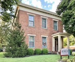
Listed on the National Register of Historic Places in
1975. A historic map-sheet match is not published yet. The record needs a coordinate-quality review before it can be joined to a sheet boundary.
From the record
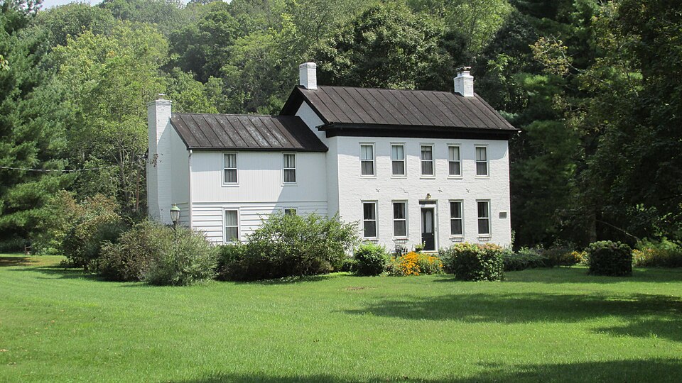
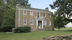
“Gaskins-Malany House is a historic house in Withamsville, Ohio, United States. It was entered in the National Register of Historic Places by the National Park Service in 1975.”
Wikipedia article Gaskins-Malany House, CC BY-SA 4.0.
one of 15 National Register listings in Clermont County · listed in 1975 · category: Building.
National Register reference number.75001345- the number the National Park Service assigned this property when it was listed, and the key its nomination file is catalogued under at the National Archives.
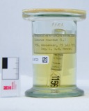
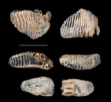
Specimens collected near this property
12 of 1,265 shown
Regional context, not property-specific
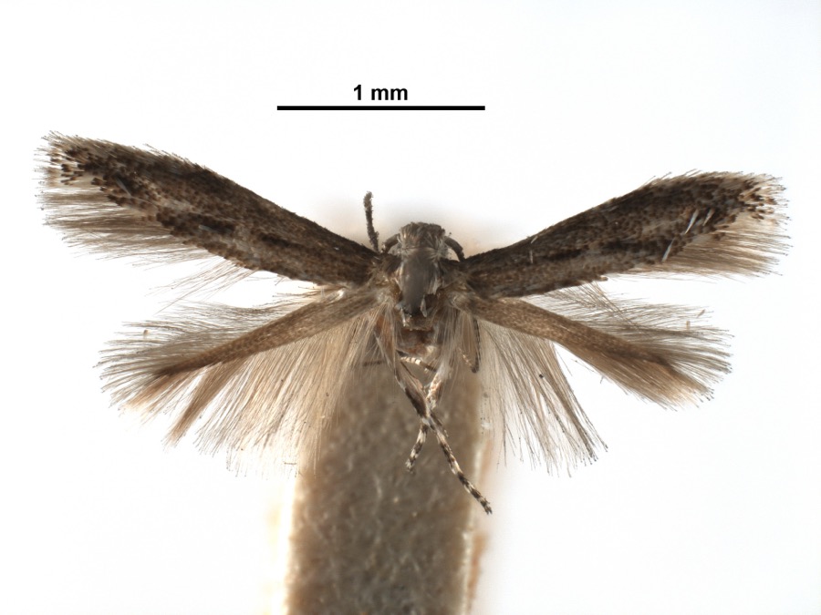
evidence. Museums hold 1,265 specimens
collected within 10 miles of Gaskins-Malany House between 1866 and
1975: 758 Animalia, 424 Fungi, 42 Plantae, 38 Protozoa, 2 Chromista, 1 Unrecorded. 12 distinct Species records are shown.
Collected by A JOHN, A JOHN AND R KNOTTS, A JOHN AND T RITTER and others. Each is a
physical object with a catalogue
number, and each entry opens the museum's record. This is what was
collected and kept, not a survey of what lives here - nothing can be
concluded from a species being absent.
Regional context, not property-specific
evidence. The National Weather Service names
Withamsville, the town this property stands in, in 9 storm reports between 2006 and 2020: 7 thunderstorm wind, 2 hail.
No death or injury is recorded in these reports. Each account below is quoted exactly as the forecast office
filed it, from the NOAA Storm Events Database, and each date
opens the federal record of that event.
Numerous trees were downed across west central portions of Clermont County. A tree fell onto a car, blocking Bradbury Road between 9 Mile Road and 10 Mile Road.
No historic map-sheet match is published
for this property yet. That does not mean no map exists. This record needs
a coordinate-quality review before it can be joined to a sheet boundary.
Browse the county's mapped places while that work is
pending.
From the nomination file
1,890 words on record
When this property was proposed for the
National Register, someone wrote the case for it: what the building is,
and why it matters. That document is a federal record in the public domain.
It is quoted below word for word, never summarised. The text was read off the scanned case file by machine, so the
occasional stray character is the recogniser's and the 1970s
typewriter's.
Description of the property
associated structures. / in heigth The main southwest facade has five bays.The first level has a single door center entry.The door has two round arched glazed panels and The house has a regular coursed trimmed field floor kitchen.This bedroom opens on to a sundeck over a porch located than the main portion.It has an exterior end chimney and the first level was moved and a bathroom installed on the second level. Good PERIOD (Check One or More as Appropriate) - Pre-Columbian! X] 19th Century - Urban Planning X Other (Specify) - Agriculture - Invention STATEMENT OF
Statement of significance
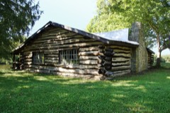
The property was owned by Taylor who sold 57 acres in October, 1827 County, Virginia and came to Clermont County in 1824 with his wife D. Gaskins and his wife, Louisa, with the stipulation that the elder in 1902. Smith Malany and Laverne Seagren Malany bought the property. Malany was born in Delaware County, Pennsylviania of Irish and Scotch- In addition to the families who lived on the property there was a ed to the highway.
Commerce Communications Architecture Military Conservation losophy Engineering Aboriginal Landscape SIGNIFICANCE Science Theater Transportation Music Education Prehistoric itarian Literature Sculpture Gaskins be given life estate on the place.Edward Gaskins sold the examples of early vernacular farm structures in Clermont County.The Social/Human- Political Industry Local History the present house, was built from site-fired brick.This one room In 1854 Gaskins acquired more land.Subsequently he sold 12.83 acres This house and site are significant because they are important to Religion/Phi- property was part of the James Knox Survey #4785.It was surveyed by At the present time the site integrity of the Gaskins-Malany Hause and dition to the west in 1847 from several indications.This addition property to his daughter Lydia and her husband John S.Engle visible on the property.
It was probably at this time that a small house, now the kitchen of known as the Cincinnati and Eastern, and it ran from Newtown to New 1899 william and Rachel Gaskins sold 12 plus acres to their son Edward tinued to prosper and in 1839 bought another 41 acre tract of land.
Quoted from the National Register nomination
for reference 75001345, 13 pages, held by the National Archives in Record
Group 79. See the
catalogue record.
Listed places nearby
4 within 8 miles
Other National Register properties close
enough to walk or drive between, ordered by distance from this one. Both
positions come from the same geocoding pass that matched these properties
to their map sheets.
Listing record. National Park Service National Register of Historic Places, listed-properties dataset, current to 2026-05-22.
Map join. Address geocoded through the United States Census geocoder, then tested against the published boundary of every sheet in the USGS Historical Topographic Map Collection.
How this page is made. Listing fields come from federal records; map-sheet coverage is a labelled coordinate-to-boundary calculation, not a source-field claim.
Specimens. Global Biodiversity Information Facility (GBIF), https://www.gbif.org/. Only records licensed CC0 or CC BY are used. Records licensed CC BY-NC are excluded because this site carries advertising. Images are checked individually and any whose licence is non-commercial, no-derivatives or unreadable is refused.
Storms. NOAA National Centers for Environmental Information, Storm Events Database https://www.ncei.noaa.gov/stormevents/ A work of the United States government, no copyright under 17 U.S.C. 105. Narratives are quoted verbatim from the National Weather Service report and are not edited or summarised.
 Block
Block