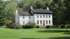
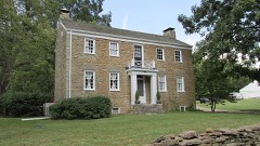
Listed on the National Register of Historic Places in
1977. A historic map-sheet match is not published yet. The record needs a coordinate-quality review before it can be joined to a sheet boundary.
From the record
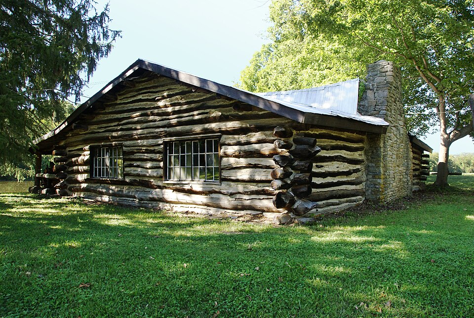
“The Pfarr Log House was a log cabin located in an isolated valley near the village of Milford in rural Clermont County, Ohio, United States. Built in the early nineteenth century, it provided a pivotal representation of the area's earliest built environment, and it has been named a historic site.”
Wikipedia article Pfarr Log House, CC BY-SA 4.0.
one of 15 National Register listings in Clermont County · listed in 1977 · category: Building.
National Register reference number.77001048- the number the National Park Service assigned this property when it was listed, and the key its nomination file is catalogued under at the National Archives.
Regional context, not property-specific
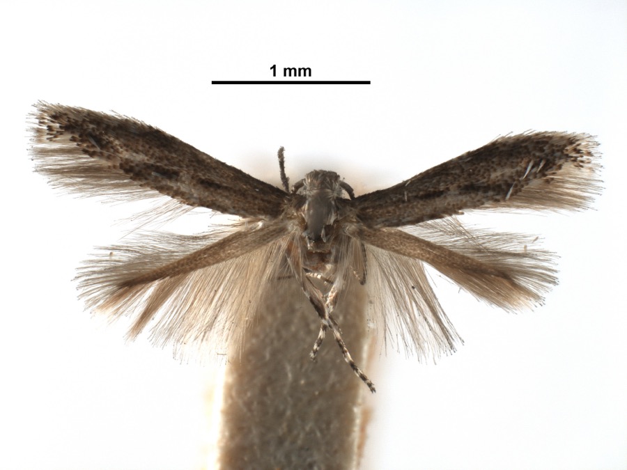
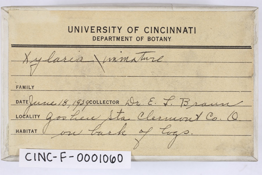
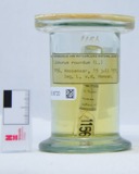
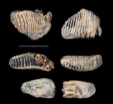
evidence. Museums hold 1,515 specimens
collected within 10 miles of Pfarr Log House between 1866 and
1975: 764 Animalia, 631 Fungi, 76 Plantae, 41 Protozoa, 2 Chromista, 1 Unrecorded. 12 distinct Species records are shown.
Collected by A JOHN, A JOHN AND R KNOTTS, A JOHN AND T RITTER and others. Each is a
physical object with a catalogue
number, and each entry opens the museum's record. This is what was
collected and kept, not a survey of what lives here - nothing can be
concluded from a species being absent.
Regional context, not property-specific
evidence. The federal mineral resources record lists
4 workings within 5 miles of Pfarr Log House: 3 producers, 1 past producer.
3 still produce. What was taken out: Sand and Gravel, Construction, Stone, Crushed/Broken. Distance is straight-line from the
map coordinates, so a quarry counted here may appear on a neighbouring
settlement's page as well.
Regional context, not property-specific
evidence. The National Weather Service names
Milford, the town this property stands in, in 49 storm reports between 1996 and 2023: 21 hail, 18 thunderstorm wind, 3 lightning, 3 flash flood.
The reports record 3 injuries. Each account below is quoted exactly as the forecast office
filed it, from the NOAA Storm Events Database, and each date
opens the federal record of that event.
Hall Run Creek came out of its banks. Several roads were flooded, stranding a couple of vehicles. A few homes sustained basement flooding near Milford.
No historic map-sheet match is published
for this property yet. That does not mean no map exists. This record needs
a coordinate-quality review before it can be joined to a sheet boundary.
Browse the county's mapped places while that work is
pending.
From the nomination file
1,698 words on record
When this property was proposed for the
National Register, someone wrote the case for it: what the building is,
and why it matters. That document is a federal record in the public domain.
It is quoted below word for word, never summarised. The text was read off the scanned case file by machine, so the
occasional stray character is the recogniser's and the 1970s
typewriter's.
Description of the property
CONDITION UNEXPOSED EXCELLENT DESCRIPTION UNALTERED RUINS DETERIORATED FAIR CHECK ONE could be made on the farmhouse built a few years earlier. The north side of the cabin (originally the front),has two small rectangu- The roof is gabled,of easy pitch, and covered with corrugated was also added.It is supported by three log piers. rest on a field stone foundation. interior end of one end of the roof. The south side (originally the rear of the house),is now the front.A The walls of the house are constructed of large, square, hand-hewn and a large 18 pane, rectangular window in the right bay. The original taken from an old church.
A shed roof porch, the length of the building The west end of the house has one double hung six-over-six window located timbers.The timbers are joined at the corner by steeple metal.The gable ends are sheathed in clapboard siding. There is one type of notching common before 1825 in southwestern Ohio.The walls AREAS OF
Statement of significance
1600-1699 construction. 1500-1599 EDUCATION ARCHEOLOGY-HISTORIC SIGNIFICANCE LAW COMMUNICATIONS INVENTION SCIENCE PHILOSOPHY PERIOD AGRICULTURE CONSERVATION _TRANSPORTATION RELIGION POLITICS/GOVERNMENT INDUSTRY 1700-1799 MILITARY ENGINEERING THEATER ECONOMICS ART PREHISTORIC SCULPTURE LITERATURE _EXPLORATION/SETTLEMENT XARCHITECTURE It was originally believed that the house was endangered by the construc- it still presents a fine example of steeple notching and timber The Pfarrs owned been in the John Pfarr family prior to his purchase. _COMMERCE line should be constructed it will not endanger the property.
The Wiederhola/Pfarr Log house is a good example of early nineteenth 1900- -MUSIC -COMMUNITY PLANNING company, McGill and Smith of Amelia, onio indicates that if the ARCHEOLOGY-PREHISTORIC century pioneer architecture. While it has been moved and altered, the house.since the first half of the nineteenth century. The house The house was purchased in the 1960's by James Wiederhold.It had was on the property when the Pfarrs purchased it(around 1843),but
Quoted from the National Register nomination
for reference 77001048, 17 pages, held by the National Archives in Record
Group 79. See the
catalogue record.
Listed places nearby
4 within 8 miles
Other National Register properties close
enough to walk or drive between, ordered by distance from this one. Both
positions come from the same geocoding pass that matched these properties
to their map sheets.
Listing record. National Park Service National Register of Historic Places, listed-properties dataset, current to 2026-05-22.
Map join. Address geocoded through the United States Census geocoder, then tested against the published boundary of every sheet in the USGS Historical Topographic Map Collection.
How this page is made. Listing fields come from federal records; map-sheet coverage is a labelled coordinate-to-boundary calculation, not a source-field claim.
Specimens. Global Biodiversity Information Facility (GBIF), https://www.gbif.org/. Only records licensed CC0 or CC BY are used. Records licensed CC BY-NC are excluded because this site carries advertising. Images are checked individually and any whose licence is non-commercial, no-derivatives or unreadable is refused.
Mines and quarries. USGS Mineral Resources Data System (MRDS) https://mrdata.usgs.gov/mrds/ A work of the United States government, no copyright under 17 U.S.C. 105.
Storms. NOAA National Centers for Environmental Information, Storm Events Database https://www.ncei.noaa.gov/stormevents/ A work of the United States government, no copyright under 17 U.S.C. 105. Narratives are quoted verbatim from the National Weather Service report and are not edited or summarised.
 Block
Block