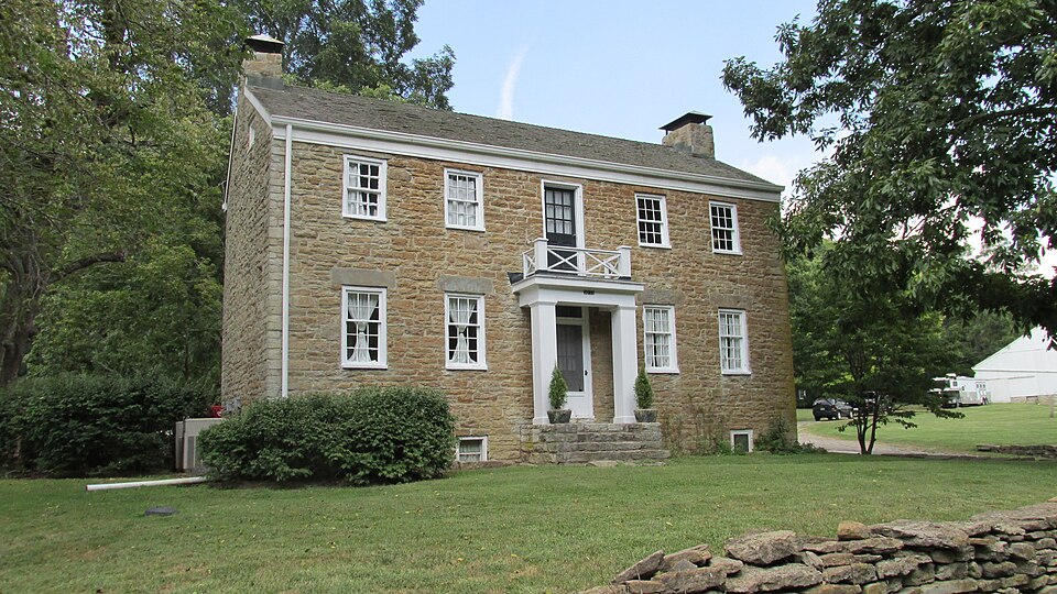
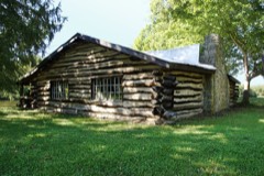
Listed on the National Register of Historic Places in
1982. A historic map-sheet match is not published yet. The record needs a coordinate-quality review before it can be joined to a sheet boundary.
From the record
one of 15 National Register listings in Clermont County · listed in 1982 · category: Building.
National Register reference number.82003553- the number the National Park Service assigned this property when it was listed, and the key its nomination file is catalogued under at the National Archives.
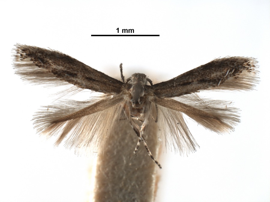
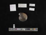
Specimens collected near this property
12 of 867 shown
Regional context, not property-specific
evidence. Museums hold 867 specimens
collected within 10 miles of Roas-Ilhardt Farm and Winery between 1866 and
1975: 686 Animalia, 145 Fungi, 26 Plantae, 8 Protozoa, 2 Chromista. 12 distinct Species records are shown.
Collected by A JOHN AND R KNOTTS, A. Braun, A. F. Braun and others. Each is a
physical object with a catalogue
number, and each entry opens the museum's record. This is what was
collected and kept, not a survey of what lives here - nothing can be
concluded from a species being absent.
Regional context, not property-specific
evidence. The National Weather Service names
New Richmond, the town this property stands in, in 22 storm reports between 1996 and 2024: 11 thunderstorm wind, 9 hail, 1 flash flood, 1 flood.
No death or injury is recorded in these reports. Each account below is quoted exactly as the forecast office
filed it, from the NOAA Storm Events Database, and each date
opens the federal record of that event.
No historic map-sheet match is published
for this property yet. That does not mean no map exists. This record needs
a coordinate-quality review before it can be joined to a sheet boundary.
Browse the county's mapped places while that work is
pending.
From the nomination file
2,063 words on record
When this property was proposed for the
National Register, someone wrote the case for it: what the building is,
and why it matters. That document is a federal record in the public domain.
It is quoted below word for word, never summarised. The text was read off the scanned case file by machine, so the
occasional stray character is the recogniser's and the 1970s
typewriter's.
Description of the property
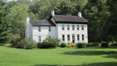
original walnut chairrails, Federal style mantels, cross paneled doors, and built-in this rural farmhouse. style portico and balustrade were constructed at the same time. None of the nine-over- Directly to the rear of the main house is the winery, an equally substantial embodiment of stone architecture. Constructed at the base of a steep hill, the winery features mounted by large, single stone lintels. Again, as described in the main house, the be replaced with a compatable, two story frame wing.
Finally, the continuity of textures in this rural setting are handsomely employed in Condition ruins and reeded posts.A mortise-and-tenon china cupboard with glass doors flanks the consists of an off-center doorway and six-over-six double hung windows(not original) Check one shop was moved to its present location circa 1930 and is being renovated.Adjoining it is characteristic to Federal architecture, are slightly smaller than those on the first cupboards.Particularly handsome are the paneled cupboards incorporated into the room fireplace is distinguished by a skillfully carved mantel with ovulo type cornice corners of the building are enhanced by tooled blocks of stone.The four bay fenestration interior end chimney.
Finally, the small unenclosed addition to the south facade will Aesthetically, the main house was altered when a two story frame wing with portico was separated by a central stairway and hall.Many of the rooms are distinguished by their the large cattle barn with raised limestone foundation and mortise-and-tenon oak beam fireplace, while a sturdy cherry and walnut balustrade maintains the simplicity of Immediately north of the winery exists a one roofed springhouse.It too is built a ground level entrance at the rear elevation for the second floor (much like a bank barn). six and six-over-six window sash is original.
(in one paragraph) and 1870 Census listed six German families as "tending the vineyards" along Ten Mile Creek. Can also be spelled Ilehardt or Elhart military -art - archeology-prehistoric - community planning - landscape architecture_ - religion Specific dates c. 1849-1850 nineteenth century stone vernacular architecture. These features, particularly the with eight other families, to Ten Mile Creek from Germany by the Archer family. Benjamin interior woodwork and stone masonry wall surfaces, reflect a sophisticated degree of buildings in such close proximity is atypical of this region and seldom seen on contem- thirty acre farm and improvements.Oral testimony claims the Ilhardts were brought, along from Ohio Township in1853).Following in 1858,the farm was owned bya series 9.
Quoted from the National Register nomination
for reference 82003553, 16 pages, held by the National Archives in Record
Group 79. See the
catalogue record.
Listed places nearby
5 within 8 miles
Other National Register properties close
enough to walk or drive between, ordered by distance from this one. Both
positions come from the same geocoding pass that matched these properties
to their map sheets.
Listing record. National Park Service National Register of Historic Places, listed-properties dataset, current to 2026-05-22.
Map join. Address geocoded through the United States Census geocoder, then tested against the published boundary of every sheet in the USGS Historical Topographic Map Collection.
How this page is made. Listing fields come from federal records; map-sheet coverage is a labelled coordinate-to-boundary calculation, not a source-field claim.
Specimens. Global Biodiversity Information Facility (GBIF), https://www.gbif.org/. Only records licensed CC0 or CC BY are used. Records licensed CC BY-NC are excluded because this site carries advertising. Images are checked individually and any whose licence is non-commercial, no-derivatives or unreadable is refused.
Storms. NOAA National Centers for Environmental Information, Storm Events Database https://www.ncei.noaa.gov/stormevents/ A work of the United States government, no copyright under 17 U.S.C. 105. Narratives are quoted verbatim from the National Weather Service report and are not edited or summarised.
 Block
Block