Listed on the National Register of Historic Places in
1975. A historic map-sheet match is not published yet. The record needs a coordinate-quality review before it can be joined to a sheet boundary.
From the record
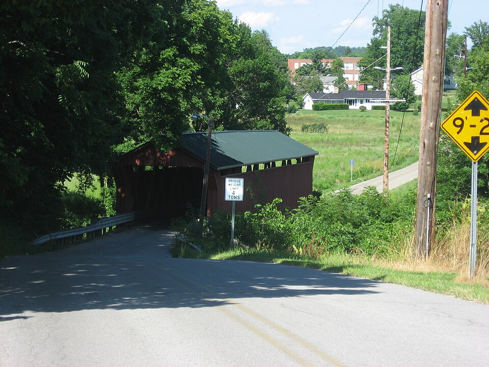
“The South Salem Covered Bridge is a historic covered bridge in northwestern Ross County, Ohio, United States. It was built in the 1870s and has been designated a historic site because of its well-preserved historic engineering.”
Wikipedia article South Salem Covered Bridge, CC BY-SA 4.0.
one of 22 National Register listings in Ross County · listed in 1975 · category: Structure.
National Register reference number.75001530- the number the National Park Service assigned this property when it was listed, and the key its nomination file is catalogued under at the National Archives.
Fires near this property
8 since 2007
Regional context, not property-specific
evidence. The
federal wildfire occurrence database
lists 8 fires within 5 miles of South Salem Covered Bridge between
2007 and 2020, burning about 58 acres in total. None started naturally. None was recorded as arson.
Distance is straight-line from the map coordinates, so a fire counted
here may appear on a neighbouring settlement's page as well.
Reported cause
Fires
Missing data/not specified/undetermined
3
Debris and open burning
2
Recreation and ceremony
1
Other causes
1
Misuse of fire by a minor
1
The most recent of
them, most recent first, with the day each was reported and the service
that recorded it.
Regional context, not property-specific
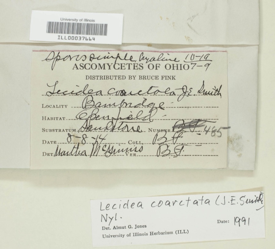
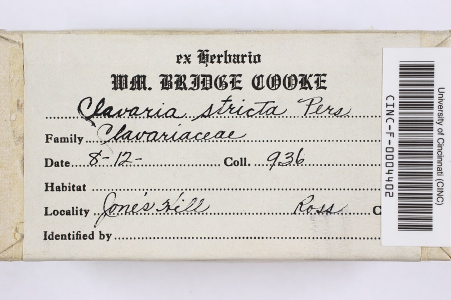
evidence. Museums hold 810 specimens
collected within 10 miles of South Salem Covered Bridge between 1898 and
1975: 535 Animalia, 229 Fungi, 38 Plantae, 8 Protozoa. 12 distinct Species records are shown.
Collected by 14505, 14519, 14555 and others. Each is a
physical object with a catalogue
number, and each entry opens the museum's record. This is what was
collected and kept, not a survey of what lives here - nothing can be
concluded from a species being absent.
Regional context, not property-specific
evidence. The National Weather Service names
South Salem, the town this property stands in, in 8 storm reports between 2004 and 2021: 3 tornado, 3 thunderstorm wind, 2 hail.
The reports record 1 injury. Each account below is quoted exactly as the forecast office
filed it, from the NOAA Storm Events Database, and each date
opens the federal record of that event.
The tornado briefly touched down on a residential property, partially removing the roof of a manufactured home. A few outbuildings were also damaged and a large shipping container was blown from its location. A child sustained minor injuries due to flying glass. A few large trees were also downed.
The tornado initially caused damage to trees east of South Salem Cemetery and within Sunset Park. The highest intensity occurred shortly after touch down with two structures destroyed along Stewart Street. One structure, which was bolted to a concrete foundation, was lofted onto Stewart Street. The other structure had nearly all of the exterior walls collapsed. The roof was lofted and pieces were found littered along the tornado track through the town. Snapped power poles also occurred along Stewart Street. The tornado then moved southeast over Main Street with significant tree and minor structure damage observed. The tornado continued to cause tree damage and minor structure damage along Lower Twin Road before exiting South Salem to the east. The final tree damage observed was along a creek south of Lower Twin Road, where multiple trees were snapped and uprooted.
One tree with a trunk diameter of 4 feet was snapped off. Numerous tree limbs were reported down or broken. These occurrences were due to damaging thunderstorm winds.
No historic map-sheet match is published
for this property yet. That does not mean no map exists. This record needs
a coordinate-quality review before it can be joined to a sheet boundary.
Browse the county's mapped places while that work is
pending.
From the nomination file
1,747 words on record
When this property was proposed for the
National Register, someone wrote the case for it: what the building is,
and why it matters. That document is a federal record in the public domain.
It is quoted below word for word, never summarised. The text was read off the scanned case file by machine, so the
occasional stray character is the recogniser's and the 1970s
typewriter's.
Description of the property
high-boarded siding, a metal roof, projected portals with square open- patented in 1867 and 1869 by Ohioan Robert W. Smith of Tipp City, later and an open V center panel. According to its inventor, the rigidly DEC31 1974 CONDITION REGISTER Excellent ings and stone abutments. were erected by local labor under the supervision of the bridge company. panel and rigidly fastened roof and floor stringers.The South Salem 1867 truss of which no.examples remain today.The Smith truss featured Salem on Lower Twin Road in Ross County,Ohio.The bridge has vertical fastened roof and floor stringers helped the bridge to maintain its fabricated these trusses and shipped them to the bridge site where they NATIONAL proper shape for a greater length of time than other wooden trusses.
Bridge is a type 2 Smith truss which was built with single timber x's braces set ata 45°angle between the 60°counterbraces,an open center placed in 1969.Repairs were also made in 197l and 1972. width is l6'and the clearance is l2'. The floor is laid lengthwise. - Unexposed - Moved Mr. Smith also cleimed that his bridge was lighter, stronger and cheaper RECEIVED Ruins The outward appearance of the South Salem Bridge has changed little over The South Salem Bridge is an 8 panel Smith truss.The Smith truss was The structure under consideration is a one span wooden truss covered - Pre-Columbian!* - 20th Century SPECIFIC DATE(S) (If Applicable and Known) 1873 - *- Urban Planning - Science - Literature STATEMENT OF
Statement of significance
bridge was built, many people continued to use the old ford. The people of this area are proud of their rich heritage of which this pass or move this historic old structure, but to date, nothing has Conservation Commerce SIGNIFICANCE Architecture Communications REGISTER Aboriginal Engineering losophy Transportation Military Prehistoric Theater RECEIVED Sculpture itarian Education Art Religion/Phi Agriculture NATIONAL Music Industry Landscape The name Buckskin by which this bridge is sometimes known, comes from Political Invention Social/Human- The South Salem or Buckskin Covered Bridge has been serving the tween the Scioto River and the Lt.Miami River.
community of South Salem for over a century now.Bids for a bridge Robert Matthews at $5.75 per perch.It is said that even after the the tributary of Paint Creek),the township and the.bridge. it serves as the access to the village from the west. Company at $18.75 per lineal foot.The abutments were built by Other (Specify) PERIOD (Check One or More as Appropriate) been done. This bridge is important historically and practically, as DEC31 1974 at Caldwell's Crossing of Buckskin Creek were let June 25, 1873 and a band of Indians on the bank of a small stream drying buckskins in This area is part of the historic Virginia Military District where 1873 tured the buckskins.
a hollow sycamore tree.The whites scattered the Indians and cap- there were 5 bidders.Lowest bid was submitted by the Smith Bridge bridge is a part and they want to preserve this covered bridge.It is an old legend to the effeat that a party of white hunters came upon
Quoted from the National Register nomination
for reference 75001530, 11 pages, held by the National Archives in Record
Group 79. See the
catalogue record.
Listed places nearby
2 within 8 miles
Other National Register properties close
enough to walk or drive between, ordered by distance from this one. Both
positions come from the same geocoding pass that matched these properties
to their map sheets.
Listing record. National Park Service National Register of Historic Places, listed-properties dataset, current to 2026-05-22.
Map join. Address geocoded through the United States Census geocoder, then tested against the published boundary of every sheet in the USGS Historical Topographic Map Collection.
How this page is made. Listing fields come from federal records; map-sheet coverage is a labelled coordinate-to-boundary calculation, not a source-field claim.
Wildfire. Short, Karen C. 2022. Spatial wildfire occurrence data for the United States, 1992-2020 [FPA_FOD_20221014]. 6th Edition. Fort Collins, CO: Forest Service Research Data Archive. https://doi.org/10.2737/RDS-2013-0009.6 Collected with United States Government funding and usable without additional permissions or fees.
Specimens. Global Biodiversity Information Facility (GBIF), https://www.gbif.org/. Only records licensed CC0 or CC BY are used. Records licensed CC BY-NC are excluded because this site carries advertising. Images are checked individually and any whose licence is non-commercial, no-derivatives or unreadable is refused.
Storms. NOAA National Centers for Environmental Information, Storm Events Database https://www.ncei.noaa.gov/stormevents/ A work of the United States government, no copyright under 17 U.S.C. 105. Narratives are quoted verbatim from the National Weather Service report and are not edited or summarised.
 Block
Block