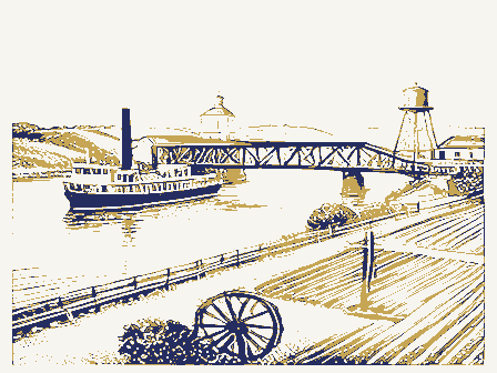
102 topographic sheets and 13 fire insurance
atlases across 2 places.
Research this county
This curated hub for Ross County, Ohio brings together the page's documented record links, visible map or image evidence where published, and routes to related local records.
Use the page's provenance and linked records to distinguish the source material from the site's navigation and summaries.
How should I cite it?
Open the original record, preserve its repository and identifier, then use the citation tool for this page as a path back to the source.
Where should I go next?
Follow the county or state hub for related places and records, then use the guide for a source-aware research sequence.
From the record
22 National Register listings · 19 businesses named in the fire insurance atlases from 1884 to 1915 · the 1884 county history tells 0 stories and names 0 people.
Ohio within the United StatesRoss County within Ohio
Explore by year
What the record shows
2 places in this county were surveyed for fire insurance: Chillicothe, Kingston, between 1884 and 1949.
13 fire insurance atlas(es) survive for the county. Topographic coverage is national; fire insurance survey reached only incorporated places with something worth insuring.
1,137 topographic sheet readings cover the county's settlements.
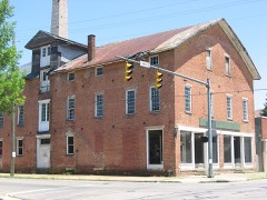
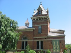
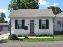
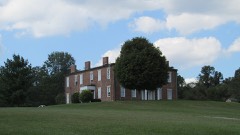
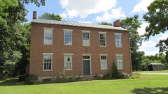
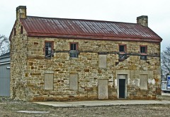
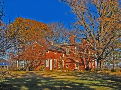
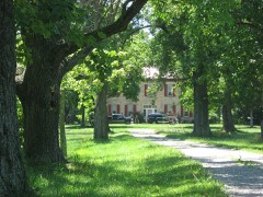
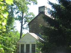
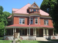
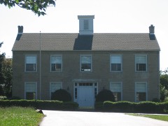
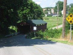
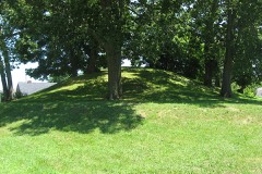
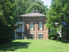
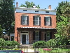
22 properties here are on the National Register of Historic Places, including 1 covered bridge, 13 houses and farms.
16 of the 22 listings were added during the 1970s.
The Geographic Names Information System records 85 populated places in this county; 0 are covered by at least one topographic sheet.
1 public-domain county history, 1885, supply 35,095 words of narrative reproduced here in full.
Photographs
37 photographs, 1913 to 1940
Taken for the Office of War Information and
the Farm Security Administration, who photographed the country between
1935 and 1944. Works of United States government photographers, with no
known restriction on use. Each opens its catalogue record.
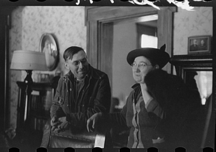
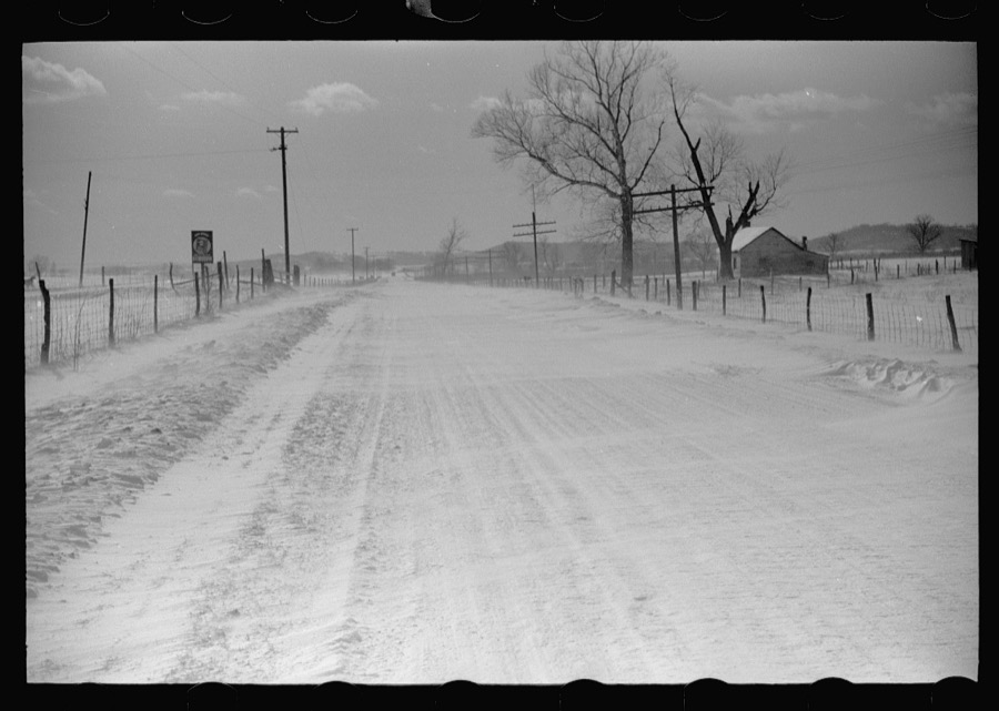
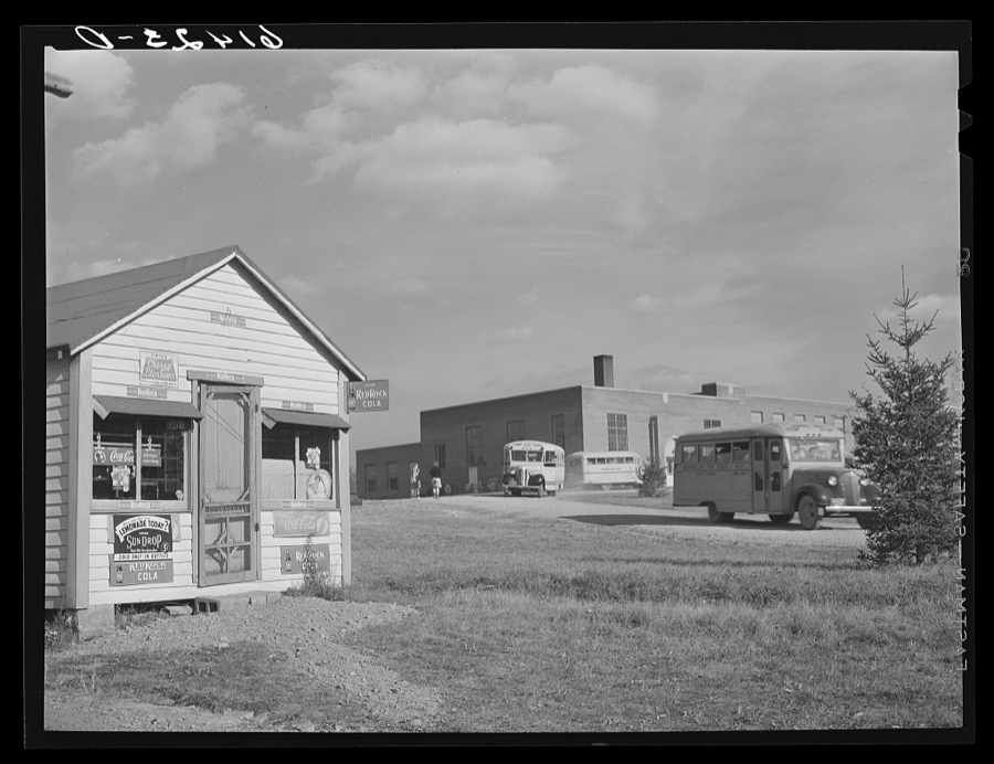
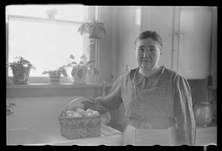
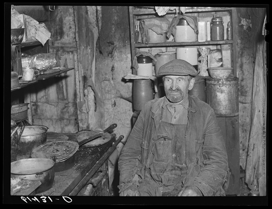
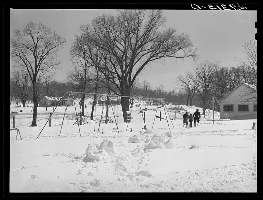
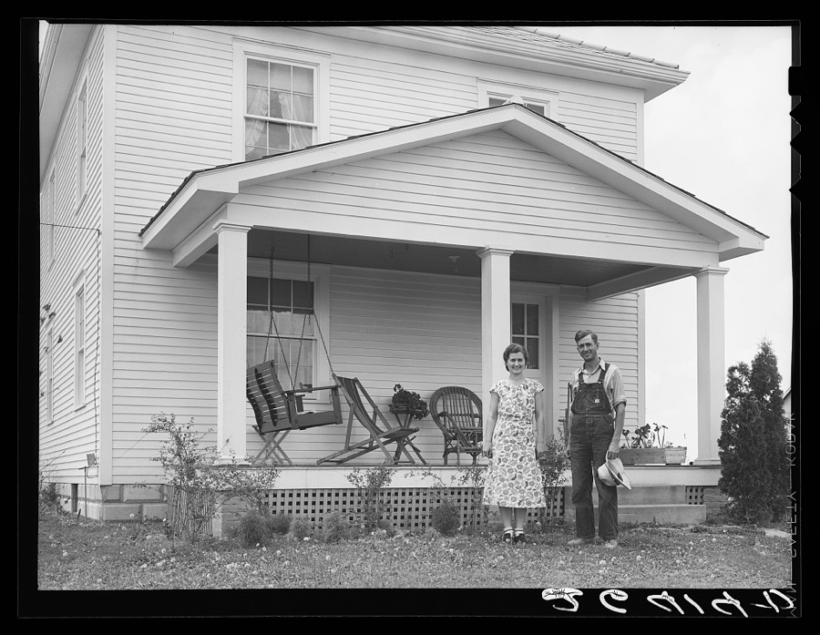
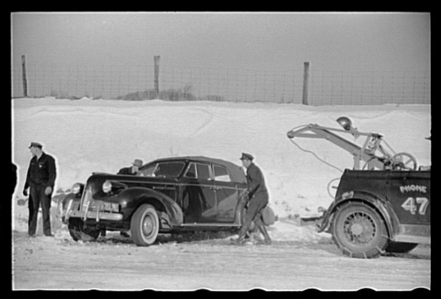
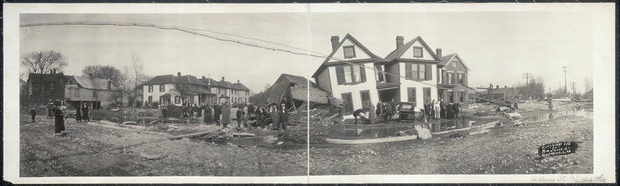
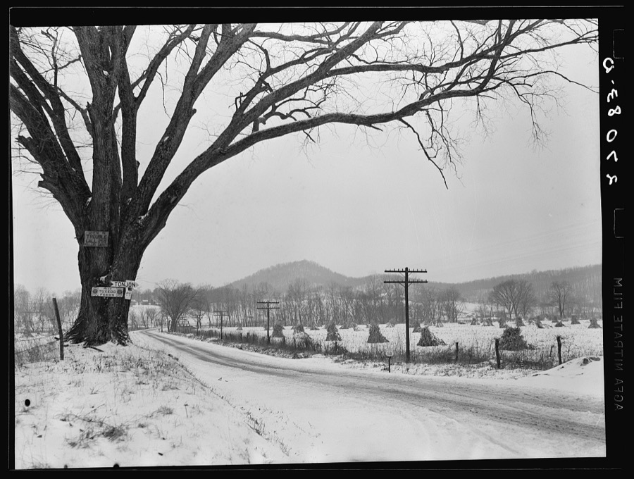
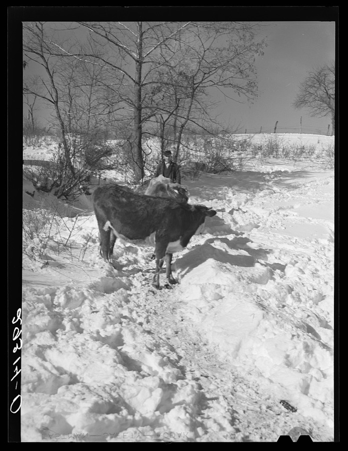
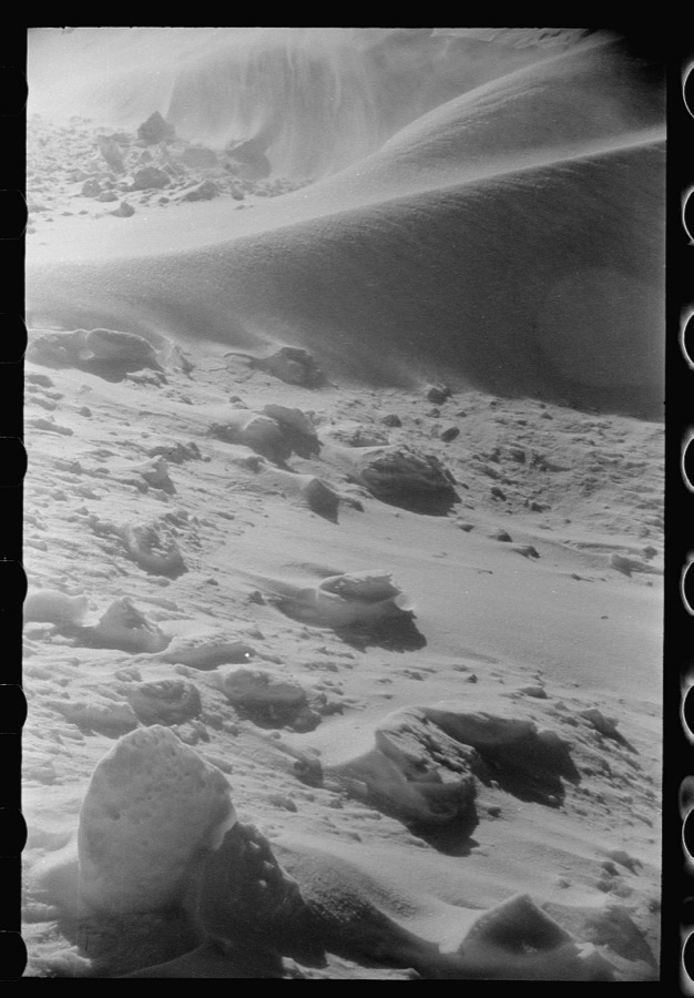
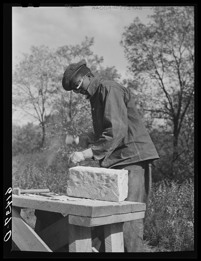
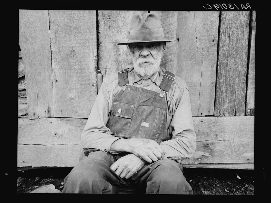
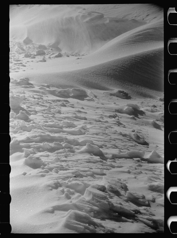
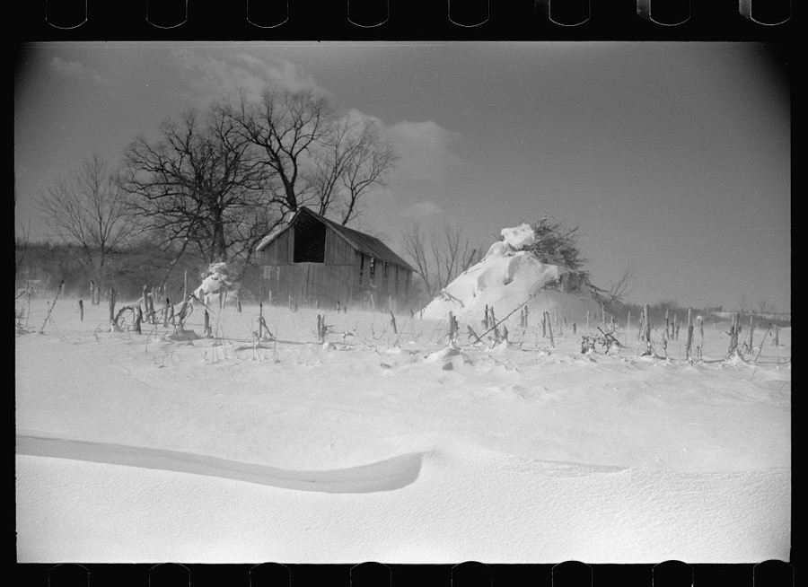
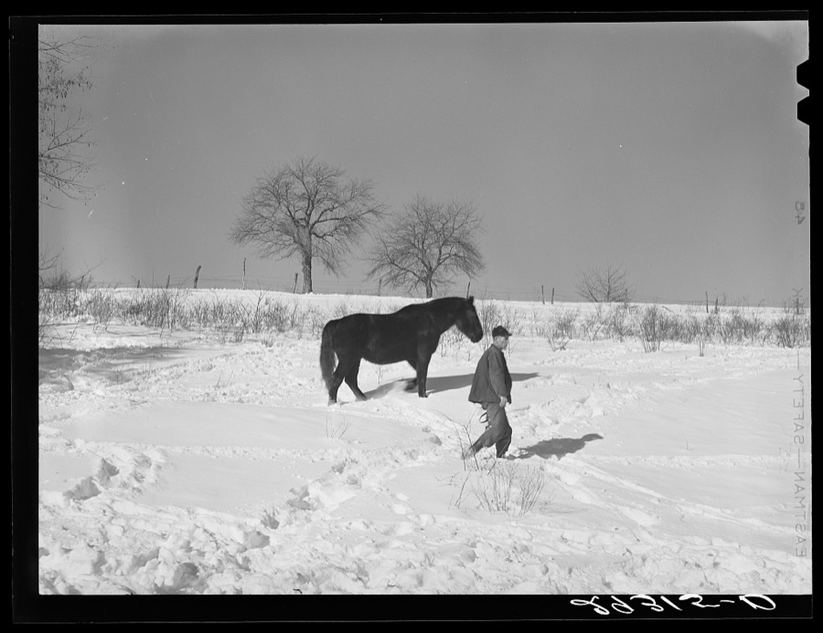
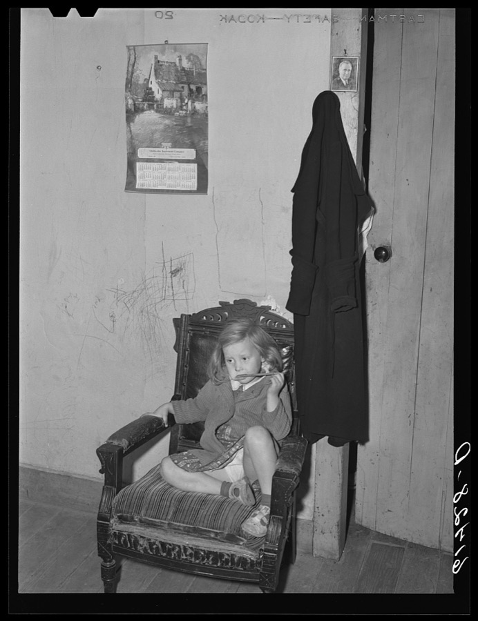
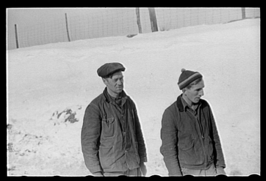
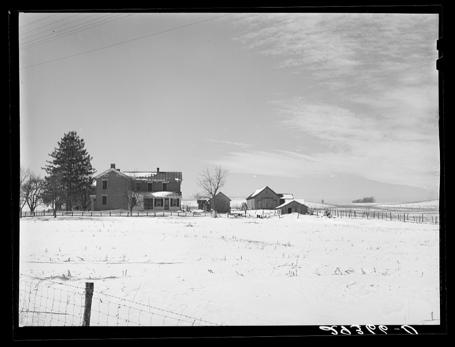
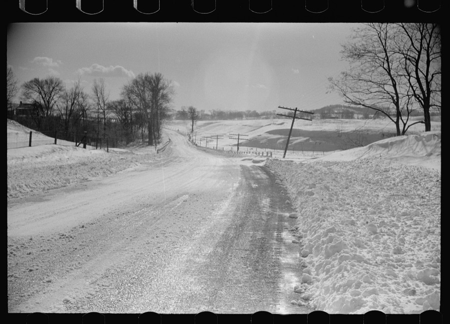
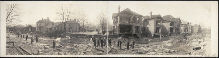
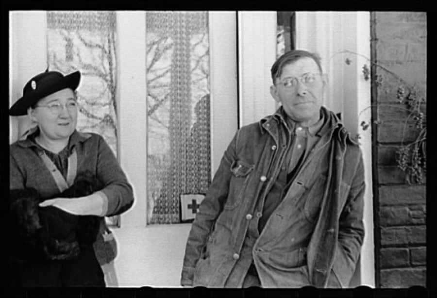
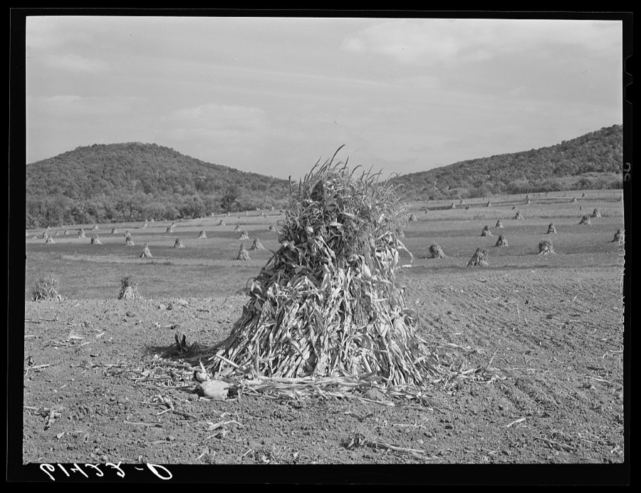
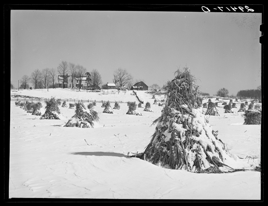
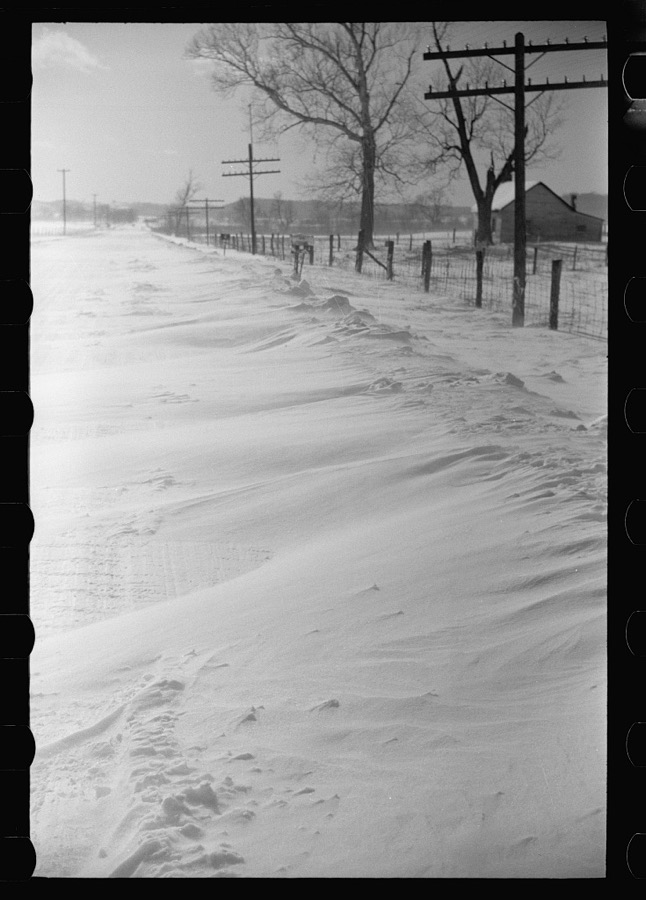
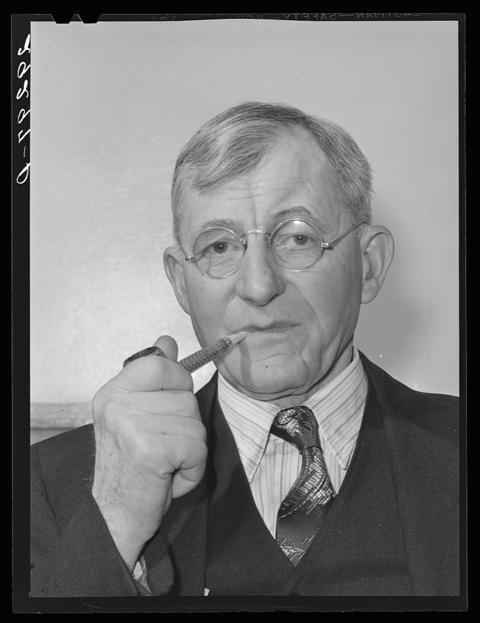
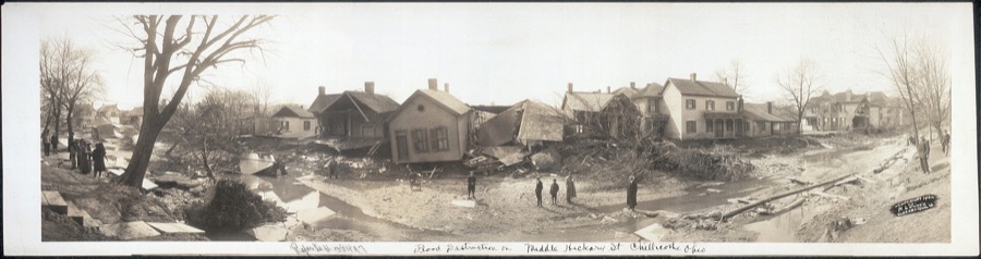
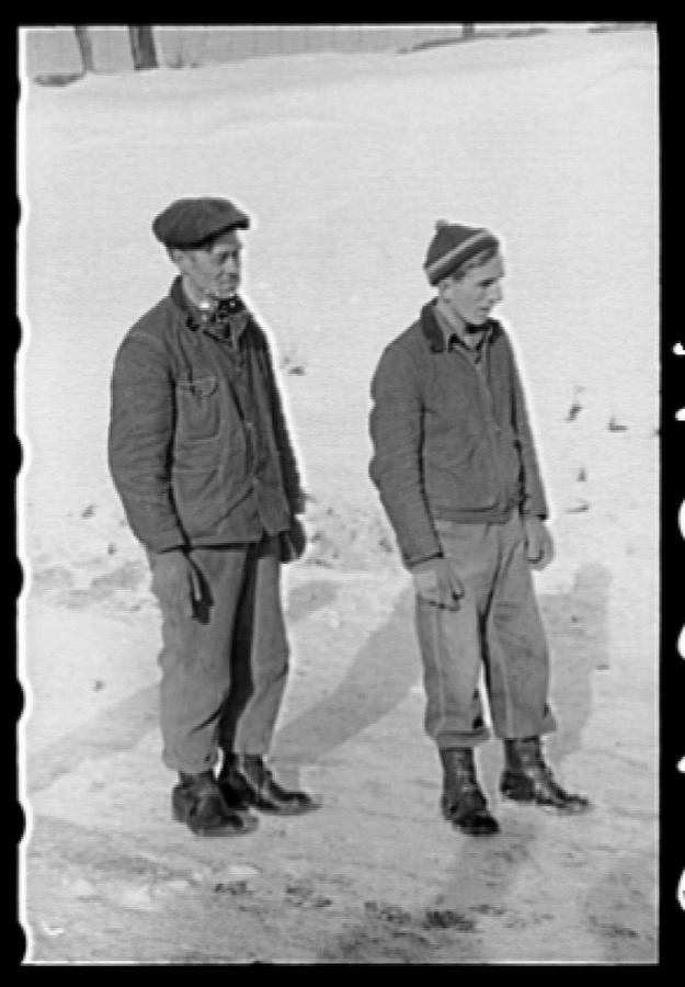
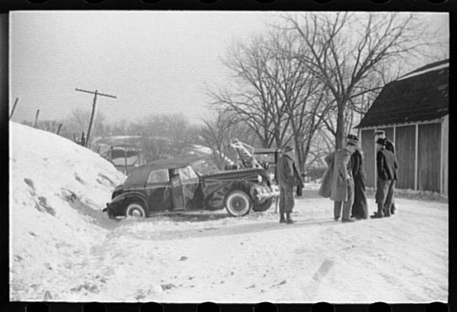
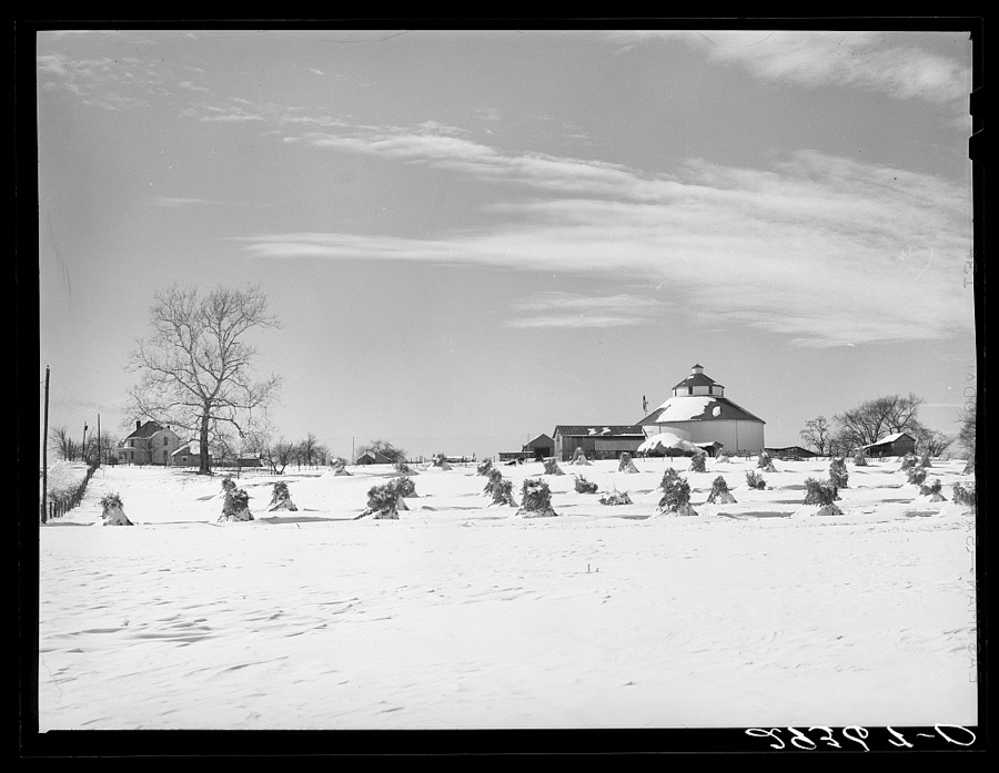
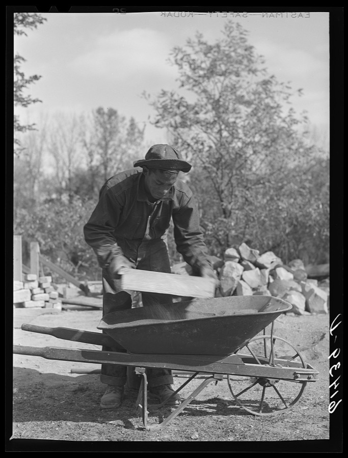
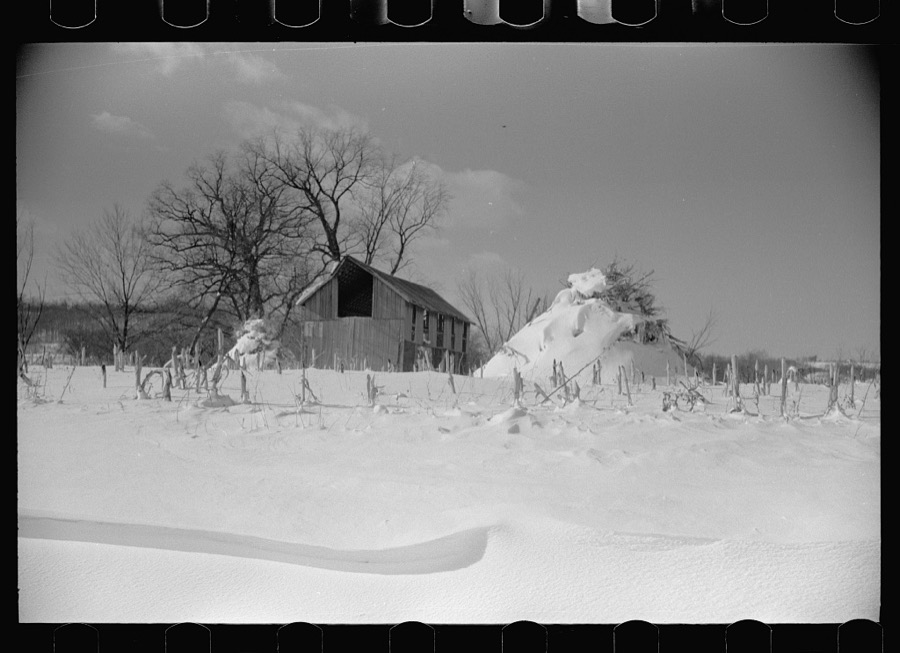
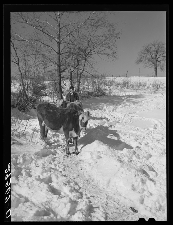
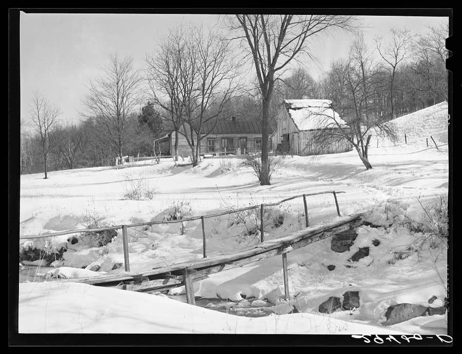
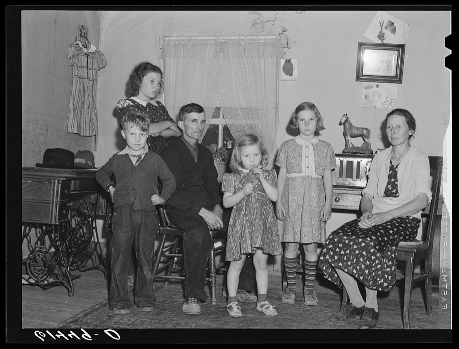
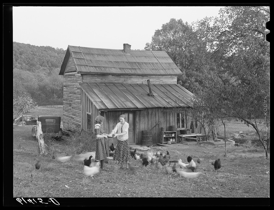
Mrs. Haubeil with the ribbons she has won for exhibits at fair, Ross County, Ohio Rothstein, Arthur, 1940. Library of CongressHighway U.S. 50, Ross County, Ohio Rothstein, Arthur, 1940. Library of CongressSchool buses at consolidated school for Huntington Township. Ross County, Ohio Vachon, John, 1940. Library of CongressMrs. Haubeil in her kitchen of her home, Ross County, Ohio Rothstein, Arthur, 1940. Library of CongressGeorge Debakos, Russian-born farmer of Ross County, Ohio Vachon, John, 1940. Library of CongressChildren in schoolyard. Ross County, Ohio Rothstein, Arthur, 1940. Library of CongressD.H. Kempton and wife, resettled in a new house. Scioto Farms, Ohio Rothstein, Arthur, 1938. Library of CongressWrecked car on Highway No. 50, Ross County, Ohio Rothstein, Arthur, 1940. Library of Congress[Flood destruction on South Hickory St., Chillicothe, Ohio Jones, H. L., copyright claimant, 1913. Library of CongressFarmland. Ross County, Ohio Rothstein, Arthur, 1939. Library of CongressIra Ison, rehabilitation client, bought two horses with his loan from the FSA (Farm Security Administration). Ross County, Ohio Rothstein, Arthur, 1940. Library of CongressSnowdrifts on Highway U.S. 50, Ross County, Ohio Rothstein, Arthur, 1940. Library of CongressCCC (Civilian Conservation Corps) boy chopping stone for use in building charcoal burners at picnic grounds. Ross County, Ohio, recreation area Vachon, John, 1940. Library of CongressOld settler, property optioned. Near Chillicothe, Ohio Jung, Theodor, 1936. Library of CongressSnowdrift, Ross County, Ohio Rothstein, Arthur, 1940. Library of CongressSnowdrifts on farm, Ross County, Ohio Rothstein, Arthur, 1940. Library of CongressHorse on Ira Ison's farm. Ross County, Ohio Rothstein, Arthur, 1940. Library of CongressChild of Lansing family, FSA (Farm Security Administration) borrowers. Ross County, Ohio Vachon, John, 1940. Library of CongressFarmers watch auto wreck on Highway U.S. 50, Ross County, Ohio Rothstein, Arthur, 1940. Library of CongressFarm. Ross County, Ohio Rothstein, Arthur, 1940. Library of CongressHighway U.S. 50, Ross County, Ohio Rothstein, Arthur, 1940. Library of CongressFlood destruction on Hickory St. near Fourth St., Chillicothe, Ohio Jones, H. L., copyright claimant, 1913. Library of CongressMr. and Mrs. Haubeil cooperated in the county planning program, Ross County, Ohio Rothstein, Arthur, 1940. Library of CongressCorn shocks on Phil Gay's farm in the Scioto River valley at the foot of the hills. Ross County, Ohio Vachon, John, 1940. Library of CongressFarm. Ross County, Ohio Rothstein, Arthur, 1940. Library of CongressSnowdrifts on Highway U.S. 50, Ross County, Ohio Rothstein, Arthur, 1940. Library of CongressMember of county agricultural council. Ross County, Ohio Rothstein, Arthur, 1940. Library of CongressFlood destruction on Middle Hickory St., Chillicothe, Ohio Jones, H. L., copyright claimant, 1913. Library of CongressFarmers watch auto wreck on Highway U.S. 50, Ross County, Ohio Rothstein, Arthur, 1940. Library of CongressWrecked car on Highway U.S. 50, Ross County, Ohio Rothstein, Arthur, 1940. Library of CongressFarm. Ross County, Ohio Rothstein, Arthur, 1940. Library of CongressCCC (Civilian Conservation Corps) boy chopping stone for use in building charcoal burners at picnic grounds. Ross County, Ohio, recreation area Vachon, John, 1940. Library of CongressBus on snowdrifted Highway U.S. 50, Ross County, Ohio Rothstein, Arthur, 1940. Library of CongressIra Ison, rehabilitation client, bought two horses with his loan from the FSA (Farm Security Administration). Ross County, Ohio Rothstein, Arthur, 1940. Library of CongressFarm. Ross County, Ohio Rothstein, Arthur, 1940. Library of CongressThe Lansing family, FSA (Farm Security Administration) borrowers. Ross County, Ohio Vachon, John, 1940. Library of CongressLansing and daughter feeding chickens. They are FSA (Farm Security Administration) borrowers. Ross County, Ohio Vachon, John, 1940. Library of Congress
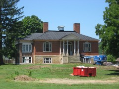
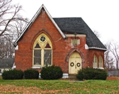
Places on the National Register
22
Every property in this county listed on the
National Register of Historic Places, with the year it was listed and the
federal nomination document.
Ross County holds 1 covered bridges on
the National Register, more than any other property type here. Each is a listed
structure with a federal nomination on file.
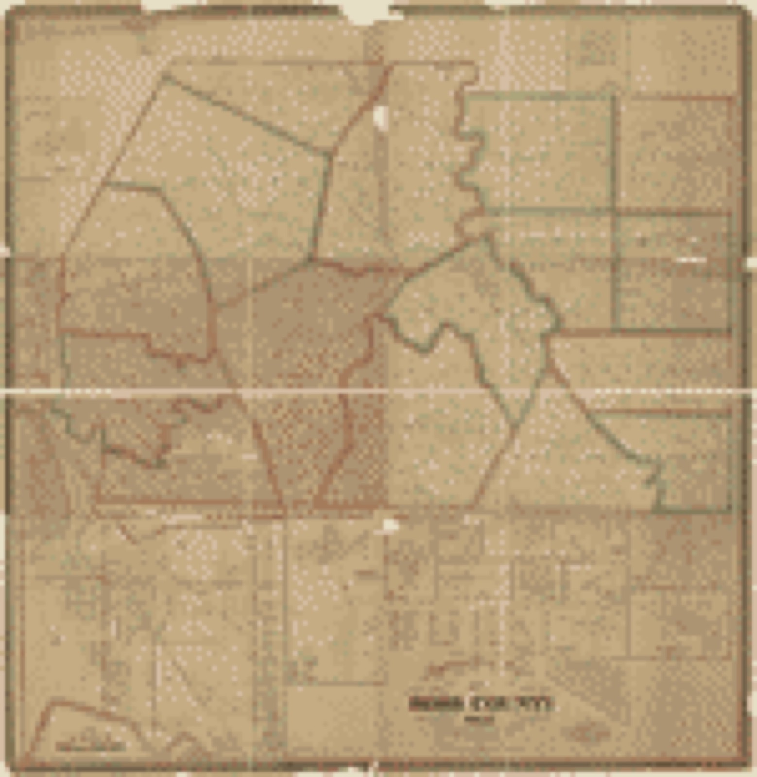
Drawn when these were printed as
single large sheets: the town seen from the air, and the county
divided into its farms with every owner named. Each opens the
original at the Library of Congress.
Land ownership map (1860) - Topographical map of Ross County, Ohio. Library of Congress.
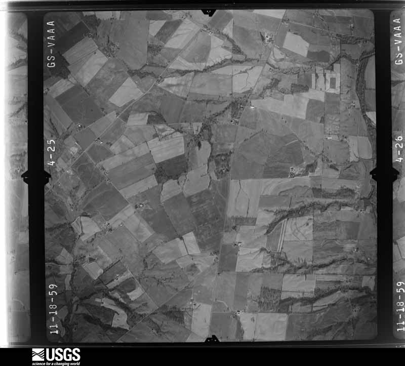
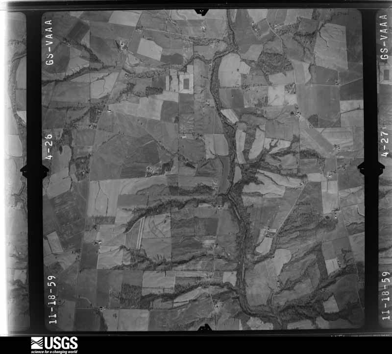
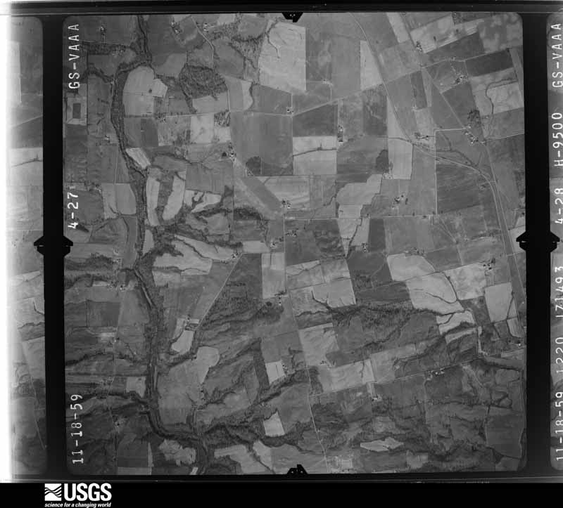
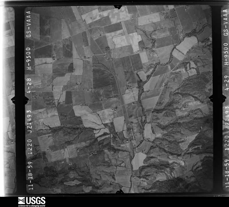
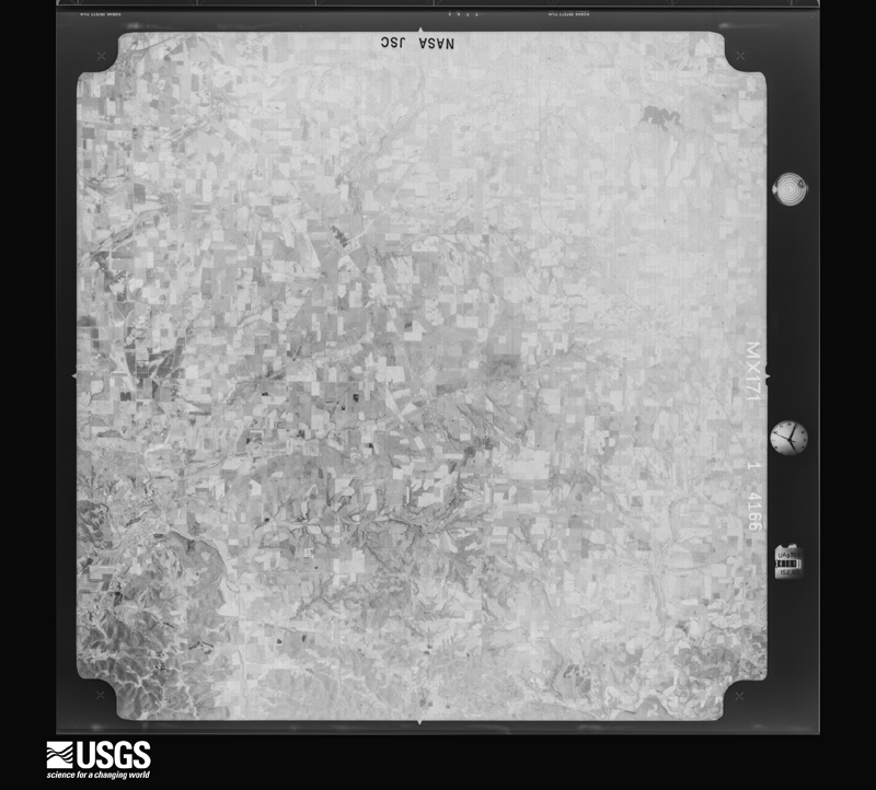
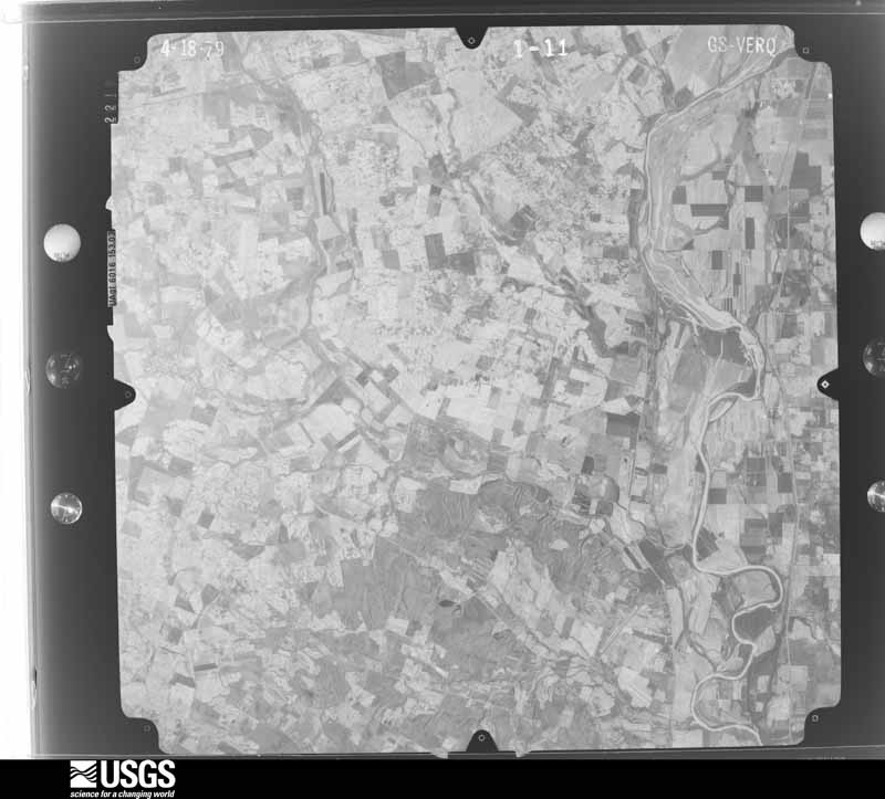
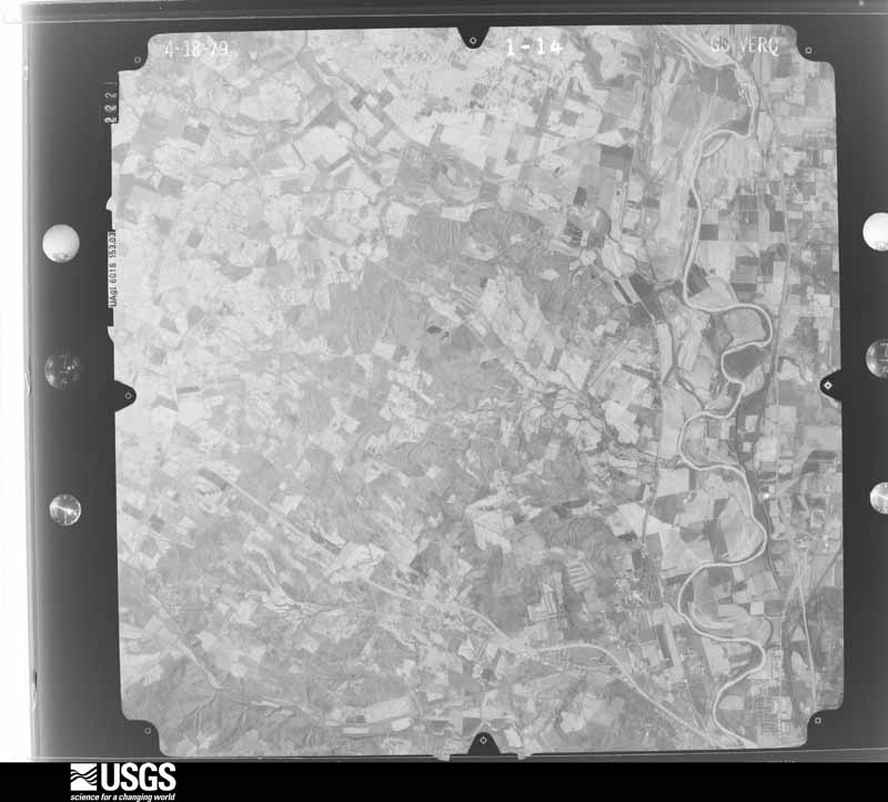
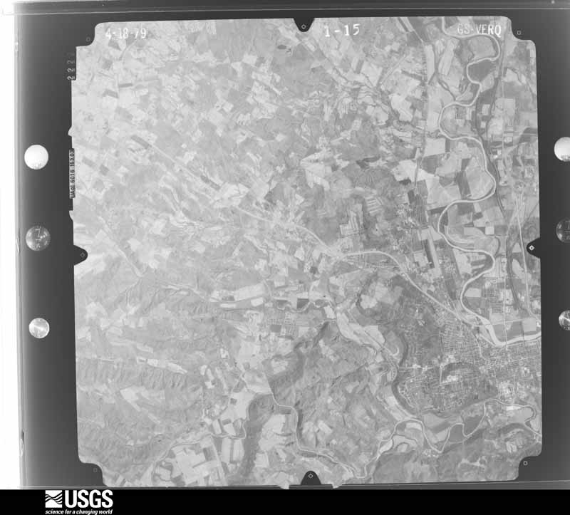
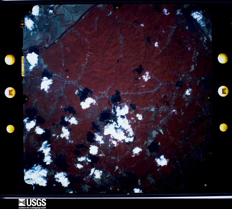
The county from the air
23 of 766 shown
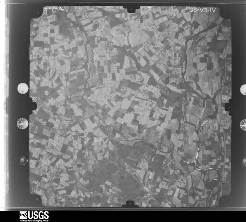
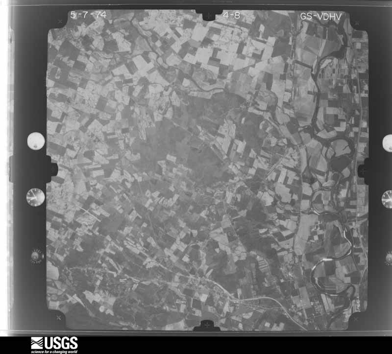
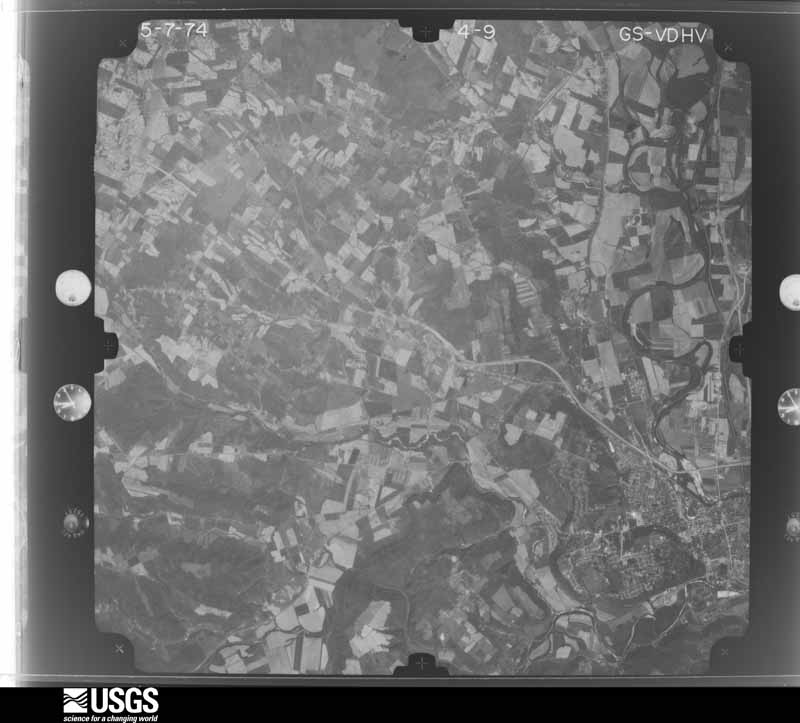
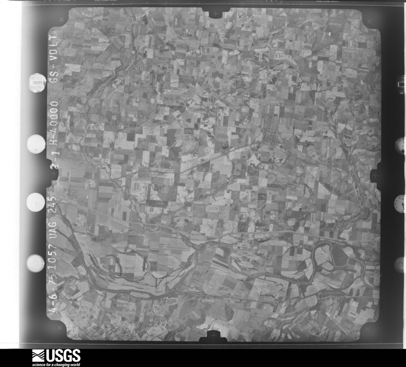
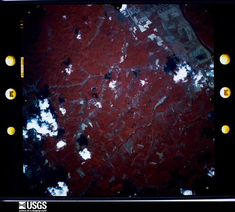
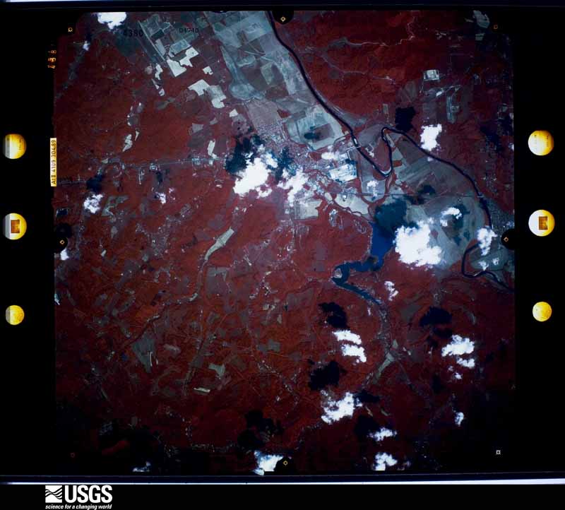
Flown by the U.S. Geological Survey
between 1937 and 1989, the Aerial Photo Single Frames collection is
the definitive mid-century view of the land: fields, roads and rivers
as the camera saw them. 766 frames touch this county; the
selection below spreads across the decades of flights (at most four
per year), so one flight cannot crowd out the rest. The full set is
free to browse and download at
EarthExplorer under the dataset Aerial Photo Single
Frames.
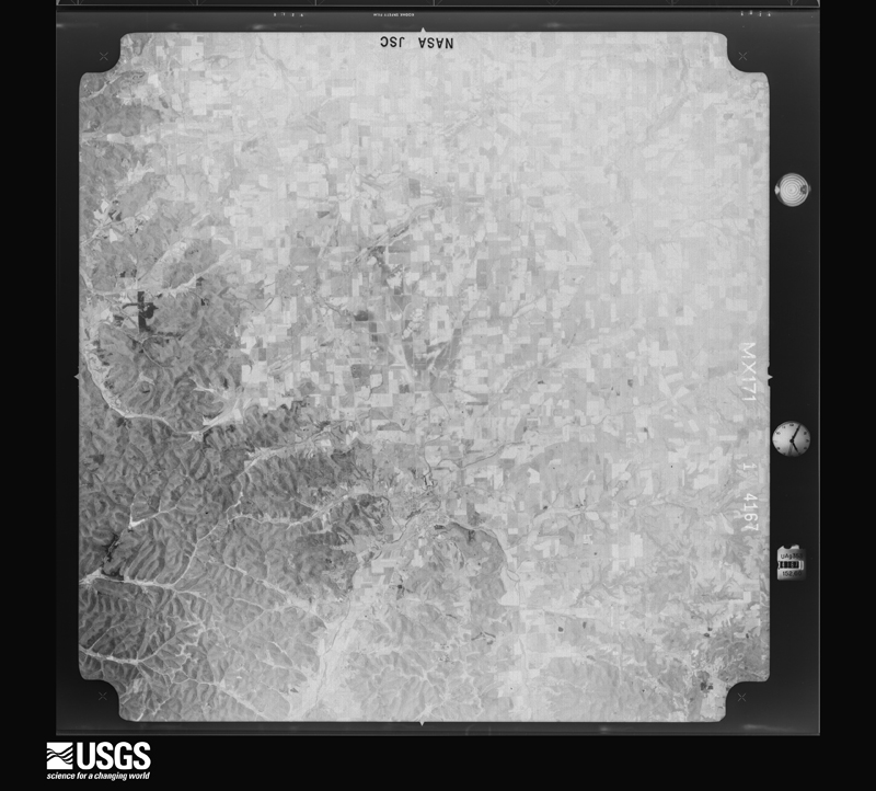
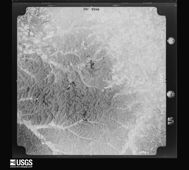
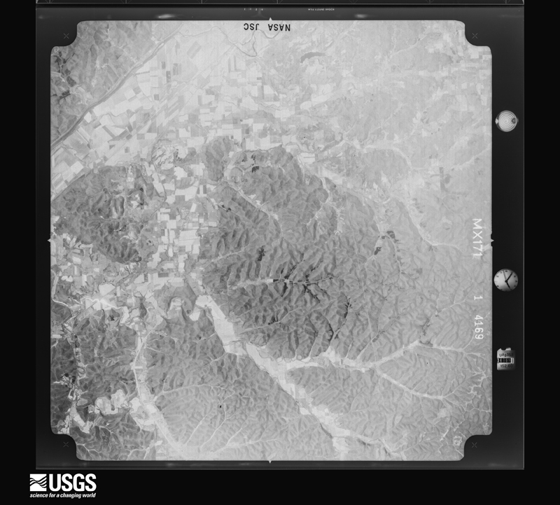
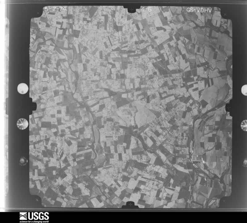
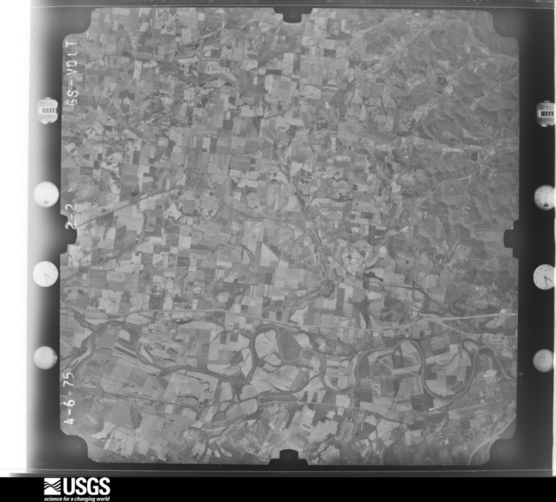
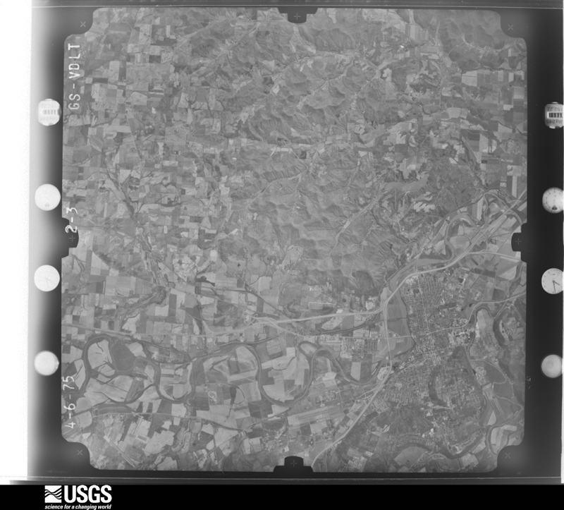
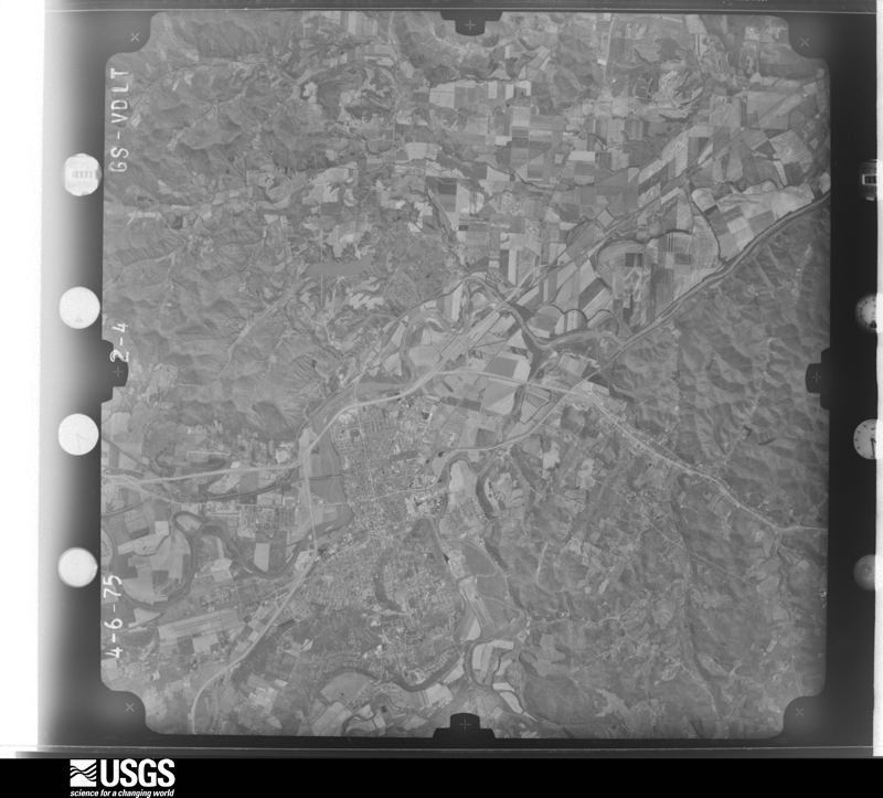
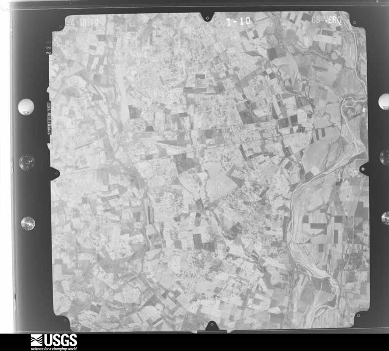
1960-04-19, scale 1:19000. U.S. Geological Survey aerial photograph.1960-04-19, scale 1:19000. U.S. Geological Survey aerial photograph.1960-04-19, scale 1:19000. U.S. Geological Survey aerial photograph.1960-04-19, scale 1:19000. U.S. Geological Survey aerial photograph.1971-04-16, scale 1:99228. U.S. Geological Survey aerial photograph.1971-04-16, scale 1:99228. U.S. Geological Survey aerial photograph.1971-04-16, scale 1:99228. U.S. Geological Survey aerial photograph.1971-04-16, scale 1:99228. U.S. Geological Survey aerial photograph.1974-05-01, scale 1:76000. U.S. Geological Survey aerial photograph.1974-05-01, scale 1:76000. U.S. Geological Survey aerial photograph.1974-05-01, scale 1:76000. U.S. Geological Survey aerial photograph.1974-05-01, scale 1:76000. U.S. Geological Survey aerial photograph.1975-04-06, scale 1:78000. U.S. Geological Survey aerial photograph.1975-04-06, scale 1:78000. U.S. Geological Survey aerial photograph.1975-04-06, scale 1:78000. U.S. Geological Survey aerial photograph.1975-04-06, scale 1:78000. U.S. Geological Survey aerial photograph.1979-11-01, scale 1:80000. U.S. Geological Survey aerial photograph.1979-11-01, scale 1:80000. U.S. Geological Survey aerial photograph.1979-11-01, scale 1:80000. U.S. Geological Survey aerial photograph.1979-11-01, scale 1:80000. U.S. Geological Survey aerial photograph.1994-06-16, scale 1:65000. U.S. Geological Survey aerial photograph.1994-06-16, scale 1:65000. U.S. Geological Survey aerial photograph.1994-06-16, scale 1:65000. U.S. Geological Survey aerial photograph.
City directories
4 volumes
The "who lived here, by year" answer:
pre-1929 public-domain directory volumes naming the county's people,
machine-read and searchable as text.
The thermometers that kept this
county's weather, and the gages that watched its rivers, as the
federal records hold them. The extremes below are measured values
from those records, not estimates.
FRANKFORT1893 to 1922, hottest 40.6 C, coldest -30.6 C
GREENFIELD WWTP1893 to 2026, hottest 37.8 C, coldest -26.1 C
PLATTSBURG1893 to 1918, hottest 38.9 C, coldest -30.6 C
CHILLICOTHE1897 to 1972, hottest 40.6 C, coldest -27.8 C
Who lived here in 1950, one enumeration
district at a time, as the Census Bureau described each district.
Each row opens its official National Archives result, with Population
Schedules and ED Maps available there.
71-22Paxton township - That part outside Bainbridge village
71-23Scioto township: Chillicothe city: Chillicothe city - That part of Ward 1 Bounded by City limits; Ward line, Paint; Water; High, Baltimore and Ohio Railroad
71-24Chillicothe city - That part of Ward 1 Bounded by High; Chestnut; Church
71-25Chillicothe city - That part of Ward 1 Bounded by High; Church; Chestnut; Vine
71-26Chillicothe city - That part of Ward 1 Bounded by Buckeye; Vine; Allen Ave.; Piatt Ave.
71-27Chillicothe city - That part of Ward 1 Bounded by City limits, Baltimore and Ohio Railroad; High, Buckeye, Piatt Ave.; Allen Ave.; City limits
71-28Chillicothe city - That part of Ward 1 Bounded by City limits, Allen Ave.; Delano Ave.; City limits; City limits
71-29Chillicothe city - That part of Ward 1 Bounded by Allen Ave.; Vine; Arch; Delano Ave.
71-30Chillicothe city - That part of Ward 1 Bounded by Arch; Vine; Water, City limits; City limits
71-31Chillicothe city - That part of Ward 1 Bounded by Chestnut; High; Main; City limits, Water, Vine
71-32Chillicothe city - That part of Ward 1 Bounded by Water; Paint; Main; High
71-33Chillicothe city - That part of Ward 2 Bounded by City limits; City limits; Main, Poplar, Water; Sugar, Riverside, Norfolk and Western Railroad
71-34Chillicothe city - That part of Ward 2 Bounded by City limits; Norfolk and Western Railroad, Riverside, Sugar, Water, Sugar; Baltimore and Ohio Railroad; Water, Hirn, Riverside, Bridge
71-35Chillicothe city - That part of Ward 2 Bounded by City limits; Bridge, Riverside, Hirn; Water; Baltimore and Ohio Railroad, Ward line
71-36Chillicothe city - That part of Ward 2, excluding Warner Hotel Bounded by Baltimore and Ohio Railroad; Water, Mulberry; Main; Paint, Ward line
71-38Chillicothe city - That part of Ward 2 Bounded by Water; Baltimore and Ohio Railroad; Main; Mulberry
71-39Chillicothe city - That part of Ward 2 Bounded by Water; Brownell; Main; Sugar
71-40Chillicothe city - That part of Ward 2 Bounded by Water; Poplar; Main; Brownell
71-41Chillicothe city - That part of Ward 3 Bounded by Main; Hickory; Fifth; Paint
71-42Chillicothe city - That part of Ward 3 Bounded by Main; Paint; Sixth, Walnut, Fourth; City limits
71-43Chillicothe city - That part of Ward 3 Bounded by Fourth; Walnut; Sixth, Belleview Ave.; City limits
71-44Chillicothe city - That part of Ward 3 Bounded by Fifth; Hickory; Seventh; Paint
71-45Chillicothe city - That part of Ward 3 Bounded by Seventh; Hickory; Eighth, Mulberry, Ninth; Paint
71-46Chillicothe city - That part of Ward 3 Bounded by Belleview Ave., Sixth; Paint; City limits; City limits
71-47Chillicothe city - That part of Ward 3 Bounded by Ninth, Mulberry, Eighth; Hickory, Ward line; City limits; Paint
71-48Chillicothe city - That part of Ward 4 Bounded by Main; City limits; Fourth, Watt; Baltimore and Ohio Railroad
71-49Chillicothe city - That part of Ward 4 Bounded by Baltimore and Ohio Railroad; City limits; City limits; Norfolk and Western Railroad, Seventh, Sugar
71-50Chillicothe city - That part of Ward 4 Bounded by Main; Sugar[; Fifth; Hickory
71-51Chillicothe city - That part of Ward 4 Bounded by Fifth; Sugar; Seventh, Eastern Ave., Seventh; Hickory
71-52Chillicothe city - That part of Ward 4 Bounded by Seventh, Eastern Ave., Seventh; Norfolk and Western Railroad; City limits; Ward line, Hickory
71-53Chillicothe city - That part of Ward 4 Bounded by Jefferson Ave.; City limits; City limits; Watt
71-54Chillicothe city - That part of Ward 4 Bounded by Fourth; City limits; Jefferson Ave.
71-55East Chillicothe, unincorporated (See boundaries shown on aerial photo BCS - 4 - 79)
71-56Scioto township - That part north and east of U.S. Hwy. 50, outside Chillicothe city and the unincorporated place of East Chillicothe excluding U.S. Industrial Reformatory. (See aerial photo BCS - 4 - 79 for boundaries of East Chillicothe)
71-57U.S. Industrial Reformatory (In Scioto township)
71-58Scioto township - That part south of U.S. Hwy. 50, and northwest of State Hwy. 772 and U.S. Hwy. 23, outside Chillicothe city
71-59Scioto township - That part southeast of State Hwy. 772, and west of U.S. Hwy. 23
71-60Scioto township - That part northeast of U.S. Hwy. 23, outside Chillicothe city and the unincorporated place of East Chillicothe. (See aerial photo BCS - 4 - 79 for boundaries of East Chillicothe)
Every Sanborn volume opens with a printed index
naming the town's mills, tanneries, hotels and works by proprietor. Those
indexes were read off the scanned sheets by machine and then matched to each
other, so a business surveyed four times appears here once, with the years it
survived. 0 of these 19 were named in more than one atlas. Each carries a
crop of the line it was read from: the spelling is the recogniser's and the
1880s lithographer's, and the scan behind it is the proof.
Every wildfire the federal occurrence
database records inside this county: 241 of them, burning about
1,163 acres. 0 started naturally and 10 were
recorded as arson. Each settlement page carries the fires within five
miles of it.
Reported cause
Fires
Debris and open burning
145
Missing data/not specified/undetermined
48
Smoking
11
Arson/incendiarism
10
Recreation and ceremony
9
Equipment and vehicle use
9
Power generation/transmission/distribution
5
Misuse of fire by a minor
2
Other causes
2
The five largest, by the area the report
gives. None of them was recorded as arson.
Date
Cause
Size
Reported by
Name on the report
15 April 2010
Missing data/not specified/undetermined
355 acres
Ohio Department of Natural Resources
PARK CABIN
14 October 2020
Debris and open burning
50 acres
Ohio Department of Natural Resources
15850
24 September 2010
Missing data/not specified/undetermined
46 acres
Ohio Department of Natural Resources
LONDONDERRY
31 March 2015
Power generation/transmission/distribution
30 acres
Ohio Department of Natural Resources
745
5 April 2005
Missing data/not specified/undetermined
30 acres
Ohio Department of Natural Resources
not named
18 April 2008
Debris and open burning
25 acres
Ohio Department of Natural Resources
not named
5 March 2009
Debris and open burning
23 acres
Ohio Department of Natural Resources
not named
20 April 2014
Recreation and ceremony
21 acres
Ohio Department of Natural Resources
not named
Every settlement page carries the fires within five
miles of it - see the settlement index below.
Storms, 1954 to
2025
60 of 417 shown
The
NOAA Storm Events Database holds
417 reports for this county, causing 4 deaths,
18 injuries and about $8,200,256 in recorded property damage.
Each settlement page carries the reports that name it.
Kind of event
Reports
Thunderstorm Wind
216
Hail
89
Flood
52
Flash Flood
40
Tornado
16
Lightning
4
The most serious of them, by death, then
injury, then recorded damage. The accounts are quoted exactly as the
forecast office filed them.
The tornado briefly touched down on a residential property, partially removing the roof of a manufactured home. A few outbuildings were also damaged and a large shipping container was blown from its location. A child sustained minor injuries due to flying glass. A few large trees were also downed.
Heavy rainfall for most of the afternoon hours caused widespread flooding across the county. Thirty six roads were closed across the county. Several culverts were washed away across the county. Three people were rescued from high water on Buckskin Creek.
The tornado initially caused damage to trees east of South Salem Cemetery and within Sunset Park. The highest intensity occurred shortly after touch down with two structures destroyed along Stewart Street. One structure, which was bolted to a concrete foundation, was lofted onto Stewart Street. The other structure had nearly all of the exterior walls collapsed. The roof was lofted and pieces were found littered along the tornado track through the town. Snapped power poles also occurred along Stewart Street. The tornado then moved southeast over Main Street with significant tree and minor structure damage observed. The tornado continued to cause tree damage and minor structure damage along Lower Twin Road before exiting South Salem to the east. The final tree damage observed was along a creek south of Lower Twin Road, where multiple trees were snapped and uprooted.
A storm survey concluded that a microburst occurred in the area and damaged or destroyed numerous grain bins, outbuildings, power poles, and trees. A house also lost part of a roof.
Widespread tree and powerline damage was reported from Chillicothe to about 6 miles southeast of Chillicothe. Several buildings also had shingles blown off and a semi was blown over on U.S. 35.
The tornado appears to have touched down near Vollmar Road. Numerous trees were knocked down in a field between Vollmar Road and Albright Mill Road and additional hardwood trees and limbs were blown down at two residences along Albright Mill Road. The roof of one of the residences also sustained damage, where part of the roof was lifted off and blown across the road. A back porch was also destroyed. Damage in this area was estimated be near 85 mph, which corresponds to a high end EF0 tornado.||Additional tree damage occurred to the east of Albright Mill Road, primarily on Egypt Pike and Cattail Road. The tornado is believed to have ended on or just east of Cattail Road as no additional damage was observed east of Cattail Road.
A silo at the Valley Grain Facility sustained significant damage as a result of a possible microburst. Part of the silo was blown down, causing additional structural damage to several other buildings in the complex.
Several homes were volunatrily evacuated along Paint Creek from Bainbridge to Bourneville due to rising water. Three automobiles were trapped in flood waters, requiring a water rescue from one of the vehicles near Chillicothe.
The tornado initially touched down near a grocery store near State Route 772 and Valley Road in Summithill where several trees were knocked down and uprooted. There were several intermittent touch downs between Summithill and Denver. To the southeast of Summithill, along Schaffer Road, approximately six homes and two mobile homes were damaged and numerous trees were snapped and uprooted. An eye-witness on Schaffer Road reported a rope tornado which had several brief touch downs. Further southeast in the Denver area, a home received substantial damage with a loss of the roof and some walls down. Portions of the roof were thrown 700 yards and wrapped around trees. There was also widespread crop damage in the area. Two barns off of Denver Road were completely destroyed and uprooted trees were observed intermittently along this path.
The tornado initially touched down on the south side of County Road 550 (Pleasant Valley Rd) where several barns were heavily damaged with roofing material thrown across the road and into adjacent properties about 1/4 mile downstream. From there, a consistent swath of enhanced tree damage was found along a nearly six mile continuous path across U.S. 35, County Road 125 (Union Lane), Egypt Pike, OH-207, and OH-104. A home and some outbuildings were damaged as the tornado crossed OH-207. With the enhanced swath of damage not found on the east side of the Scioto River, it is expected that the tornado lifted somewhere in the Scioto River flood plain.
Numerous trees and power lines knocked down across the county. Winds were estimated at 70 mph in Kinnickinnick and damage occurred to an apartment building in Bainbridge.
A second tornado formed from a mini-supercell which tracked across much of northern Ross county. Much of the county is open fields so very little structural damage occurred. However, a barn roof was ripped off and power lines were downed near Kingston.
This short-lived tornado is believed to have touched down just to the southwest of Adena Middle/High School, west of County Road 550. Several trees were uprooted along a tree line approximately 750 yards to the west of County Road 550, with additional minor tree damage closer to the road near a commercial property.||On the east side of County Road 550, several other trees were uprooted or snapped along the southern portion of Climer Lane, closest to the school grounds. A video near this location appeared to show a short-lived tornadic circulation moving approximately southwest to northeast between Climer Lane and the school grounds. Tree damage was a bit more extensive toward the southern parts of the properties on Climer Lane toward the athletic fields. Here, a concession stand suffered minor roof damage and a chain-linked fence was damaged as well.||The tornado is believed to have tracked a bit further to the northeast, damaging a barn/outbuilding structure near the cul-de-sac of Climer Lane before dissipating.
A barn was blown down on equipment that was housed inside of it. A grain bin was blown off of its foundation at the same location. A garage was destroyed, as well as siding and roofing being peeled off of a residence.
Several trees and powerlines were downed throughout the county. 5500 residents were without power. In Union Springs, fires were sparked by lightning strikes.
Scattered trees were snapped off in the Clayburne Heights Neighborhood. One empty truck trailer was tipped over in a parking lot adjacent to State Route 159 due to thunderstorm winds.
A mobile home being towed on a flatbed truck on US Route 50 was destroyed. One home had its roof blown off, and trees were downed throughout town.
Mines and
quarries
17 recorded
The Survey's mineral resources record
lists 17 workings inside this county. 5 still
produce and 12 are closed or unrecorded. Each settlement
page carries the workings within five miles of it.
Commodity
Workings
Sand and Gravel, Construction
13
Stone, Crushed/Broken
3
Limestone, General
1
The least common of them first, because a
county's hundredth gravel pit says nothing its first ten did not.
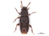
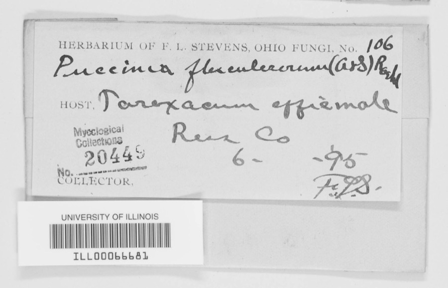
Museum specimens collected inside this
county and catalogued with a date and a place: 3,589 of them, by
kingdom 2,740 animalia, 627 fungi, 202 plantae, 16 protozoa, 3 unrecorded. Each is a physical object in a named collection, not a
sighting. Held by Ohio State University - Fish Division, Columbus, OH (OSUM), CUP, CINC, Ohio State University - Mammal Division, Columbus, OH (OSUM), UMMZ, OSUC among others, and each settlement page carries
the specimens collected near it.
The oldest of them. A specimen proves
something was collected on that day; its absence proves nothing.
History of Lower Scioto Valley, Ohio, Together with Sketches of Its Cities, Villages and Townships, Educational, Religious, Civil, Military, and Political History, Portraits of Prominent Persons, and Biographies of Representative Citizens devotes a chapter to each township:
its boundaries and streams, who settled it and when, the mills, the
schools and the churches. All 1 are reproduced here in full. Each row
shows the township's own shape and where it lies in the county, drawn from
the Census Bureau's boundary. Which settlements belong to which township
is computed from that same boundary, not taken from the book.
Named settlements recorded in the Geographic Names
Information System, each with the topographic sheets covering it. Villages,
hamlets and abandoned places alike. Each is shown with the watercourse or
landform it stands on and the survey quadrangle it falls on. The 2
places that were also surveyed for fire insurance come first, with the
number of atlases and photographs held for them.
The complete index, with nothing left out.
Each of these is a separate record with its own page: a federal survey
report, or the case file that argued a property on to the National
Register. Both are public domain and reproduced word for word.
Topographic sheets. USGS Historical Topographic Map Collection, county index, measured from the bulk metadata.
Fire insurance maps. Library of Congress Sanborn collection, faceted to this county.
Photographs. Each place queried individually against the Library of Congress Prints and Photographs search.
Wildfire. Short, Karen C. 2022. Spatial wildfire occurrence data for the United States, 1992-2020 [FPA_FOD_20221014]. 6th Edition. Fort Collins, CO: Forest Service Research Data Archive. https://doi.org/10.2737/RDS-2013-0009.6 Collected with United States Government funding and usable without additional permissions or fees.
Specimens. Global Biodiversity Information Facility (GBIF), https://www.gbif.org/. Only records licensed CC0 or CC BY are used. Records licensed CC BY-NC are excluded because this site carries advertising. Images are checked individually and any whose licence is non-commercial, no-derivatives or unreadable is refused.
Mines and quarries. USGS Mineral Resources Data System (MRDS) https://mrdata.usgs.gov/mrds/ A work of the United States government, no copyright under 17 U.S.C. 105.
Storms. NOAA National Centers for Environmental Information, Storm Events Database https://www.ncei.noaa.gov/stormevents/ A work of the United States government, no copyright under 17 U.S.C. 105. Narratives are quoted verbatim from the National Weather Service report and are not edited or summarised.
 Block
Block