Listed on the National Register of Historic Places in
1975. A historic map-sheet match is not published yet. The record needs a coordinate-quality review before it can be joined to a sheet boundary.
From the record
“Hillside is a historic house located at 230 Summer Street in Plymouth, Massachusetts.”
Wikipedia article Hillside (Plymouth, Massachusetts), CC BY-SA 4.0.
one of 93 National Register listings in Plymouth County · listed in 1975 · category: Building · one of 1 National Historic Landmarks in Plymouth County.
National Register reference number.75001626- the number the National Park Service assigned this property when it was listed, and the key its nomination file is catalogued under at the National Archives.
In preparing the work the records of the town of Bridgewater, and of its several parishes and churches, have been the first and principal sources, whence the materials have been derived. The old Colony and Plymouth county records have furnished also valuable information. Judge Davis' improved edition of Morton's, New England Memorial, Farmer's Register, the Collections of the Mass. Hist. Society, and various local histories have also been advantageously consulted. But so many and so various have been the sources, both public and private, from which information and facts have been obtained, that it would be difficult, if recollected, to enumerate them. The loss of all the early records of Duxbury previous to 1G54, which are said to have been burnt, is greatly to be regretted, as it was the parent town of Bridgewater, the first home and residence in this country of most of our fathers and original settlers in this then Plantation. It may well be supposed those records would have furnished us with much valuable information. The Colony records of births and deaths previous to 1CI7 are also lost, some of the first leaves by time or accident having been destroyed, which to the antiquarian is a deprivation much to be deplored.
Bridgewater was originally a plantation granted to Duxbury. When the township of Marshfield became a separate and distinct corporation, Duxbury, from which Marshfield had been principally taken, applied to the Old Colony court, at Plymouth, for a grant of common land, or, as they expressed it, " an extension to the westward," as a compensation for the great loss of territory they had thus sustained. We find in the records the following order of court relating to it : -
Regional context, not property-specific
evidence. The
federal wildfire occurrence database
lists 309 fires within 5 miles of Hillside between
2006 and 2020, burning about 95 acres in total. 3 started naturally. 4 were recorded as arson.
Distance is straight-line from the map coordinates, so a fire counted
here may appear on a neighbouring settlement's page as well.
Reported cause
Fires
Debris and open burning
204
Missing data/not specified/undetermined
59
Misuse of fire by a minor
28
Recreation and ceremony
5
Arson/incendiarism
4
Natural
3
Smoking
3
Fireworks
1
Power generation/transmission/distribution
1
Equipment and vehicle use
1
The most recent of
them, most recent first, with the day each was reported and the service
that recorded it.
Regional context, not property-specific
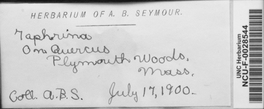
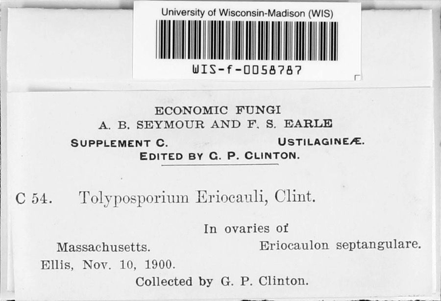
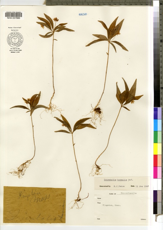
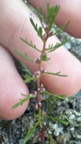
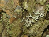
evidence. Museums hold 2,182 specimens
collected within 10 miles of Hillside between 1816 and
1975: 1,565 Animalia, 377 Plantae, 187 Fungi, 36 Chromista, 14 Protozoa, 3 Unrecorded. 12 distinct Species records are shown.
Collected by -- Russell, A., A. Humes and others. Each is a
physical object with a catalogue
number, and each entry opens the museum's record. This is what was
collected and kept, not a survey of what lives here - nothing can be
concluded from a species being absent.
Regional context, not property-specific
evidence. The federal mineral resources record lists
4 workings within 5 miles of Hillside: 2 past producers, 2 producers.
2 still produce. What was taken out: Sand and Gravel, Construction. Distance is straight-line from the
map coordinates, so a quarry counted here may appear on a neighbouring
settlement's page as well.
Regional context, not property-specific
evidence. The National Weather Service names
Plymouth, the town this property stands in, in 43 storm reports between 1997 and 2023: 13 hail, 10 thunderstorm wind, 7 heavy rain, 4 flood.
The reports record 1 death. Each account below is quoted exactly as the forecast office
filed it, from the NOAA Storm Events Database, and each date
opens the federal record of that event.
Police reported a road flooded, with water half-way up the doors of a car. Street unspecified. Report relayed by amateur radio. The public reported 2.07 of rain with this localized storm.
No historic map-sheet match is published
for this property yet. That does not mean no map exists. This record needs
a coordinate-quality review before it can be joined to a sheet boundary.
Browse the county's mapped places while that work is
pending.
From the nomination file
2,245 words on record
When this property was proposed for the
National Register, someone wrote the case for it: what the building is,
and why it matters. That document is a federal record in the public domain.
It is quoted below word for word, never summarised. The text was read off the scanned case file by machine, so the
occasional stray character is the recogniser's and the 1970s
typewriter's.
Description of the property
Hillside lies at the base of a natural bowl land formation, with trees, planted in the last half of the nineteenth century, growing at the edge of the large lawn which surrounds the house. The property originally encompassed approximately eighty acres, as shown in the map surveyed by Henry David Thoreau in 1854. Extensive plantings, including many native and foreign trees, covered these acres. Now only ten acres remain, but they retain their rural and pastoral aspect, and most of the trees planted as part of the Old Colony Nurseries are extant. Hillside was designed in 1845 by the amateur architect Reverend Samuel Longfellow, brother of Henry Wadsworth Longfellow, and built the same year by Benjamin Marston Watson, famed horticulturalist and friend of the Concord Trancendentalists.
The Gothic Cottage, which faces south, is reminiscent of the styles found in Andrew Jackson Downing's The Architecture of Country Houses. The facade has a steeply pitched cross gable covering a central pavilion which has a Tudordarched opening on each of its three sides. The ls story building, covered with clapboards, has an asphalt shingled ridge roof. A story ridge roof ell extends from the western half of the northern elevation of the house, and has a dormer on its western elevation. A 2 story hip roof addition, built in the 1890's, is attached to the l story ell, and lies directly north of the eastern half of the main part of the house. The fenestration, as with many Gothic Cottages, is irregular.
The first floor windows of the whole house are topped by label molding, as is the center opening in the entrance pavilion. The molding extending down the sides of the windows are now covered by shutters, a recent addition to the house.
/ARCHITECT 1845 Rev. Samuel Longfellow STATEMENT OF SIGNIFICANCE Hillside is significant not only for its association with the internationally famous Old Colony Nurseries, but also for the close relationship between the Watsons, the original owners of the house, and the many Concord Trancendentalists who stayed there. Benjamin Marston Watson, when he graduated from Harvard in 1839, decided to return to Plymouth to take care of his mother's garden, instead of following one of the more conventional occupations. According to Edward Everett Hale, he established "such a nursery garden as New England had never known until that time." This nursery was a tremendous success, acquiring a national and international reputation.
Watson was responsible for introducing the Japanese Honeysuckle to the United States and encouraged its use throughout the country. He anticipated much of the work later to be undertaken at the Fenway and the arboretum in Boston by planting at Hillside Asclethra, Black Alder, Viburnum Cassinoides, Rhodora, and Rhododendrum Maximum. He also planted and cultivated Yellow and Canoe Birches. Watson was greatly interested in mass production of garden vegetables for the Boston market and for a while attempted to grow melons, turnips, celery and cabbages. He also grew peaches on a large scale and at one time had three thousand peach trees planted. He acted as a consultant to people with horicultural problems throughout New England and was greatly respected in his field.
Watson, besides being a successful horticulturalist, was interested in literature and philosophy. He and his wife, Mary Russell Watson, were close friends of the major Concord philosophers of the mid-nineteenth century, and of numerous other American philosophers of that time.
Quoted from the National Register nomination
for reference 75001626, 15 pages, held by the National Archives in Record
Group 79. See the
catalogue record.
Listed places nearby
6 within 8 miles
Other National Register properties close
enough to walk or drive between, ordered by distance from this one. Both
positions come from the same geocoding pass that matched these properties
to their map sheets.
Listing record. National Park Service National Register of Historic Places, listed-properties dataset, current to 2026-05-22.
Map join. Address geocoded through the United States Census geocoder, then tested against the published boundary of every sheet in the USGS Historical Topographic Map Collection.
How this page is made. Listing fields come from federal records; map-sheet coverage is a labelled coordinate-to-boundary calculation, not a source-field claim.
Wildfire. Short, Karen C. 2022. Spatial wildfire occurrence data for the United States, 1992-2020 [FPA_FOD_20221014]. 6th Edition. Fort Collins, CO: Forest Service Research Data Archive. https://doi.org/10.2737/RDS-2013-0009.6 Collected with United States Government funding and usable without additional permissions or fees.
Specimens. Global Biodiversity Information Facility (GBIF), https://www.gbif.org/. Only records licensed CC0 or CC BY are used. Records licensed CC BY-NC are excluded because this site carries advertising. Images are checked individually and any whose licence is non-commercial, no-derivatives or unreadable is refused.
Mines and quarries. USGS Mineral Resources Data System (MRDS) https://mrdata.usgs.gov/mrds/ A work of the United States government, no copyright under 17 U.S.C. 105.
Storms. NOAA National Centers for Environmental Information, Storm Events Database https://www.ncei.noaa.gov/stormevents/ A work of the United States government, no copyright under 17 U.S.C. 105. Narratives are quoted verbatim from the National Weather Service report and are not edited or summarised.
 Block
Block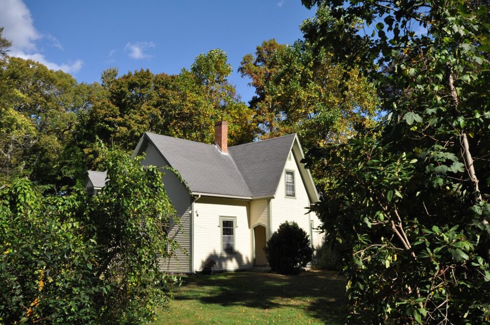


,_quintonil.jpg)