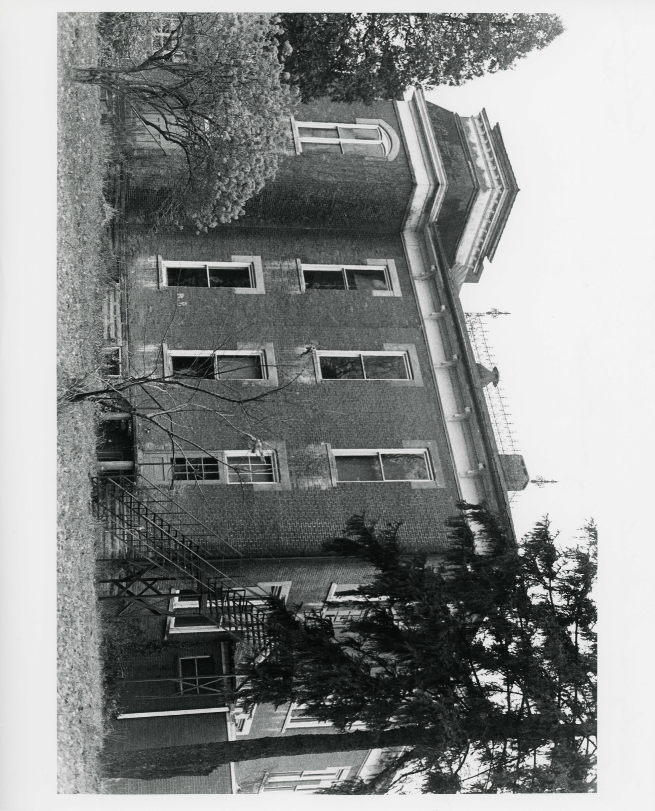
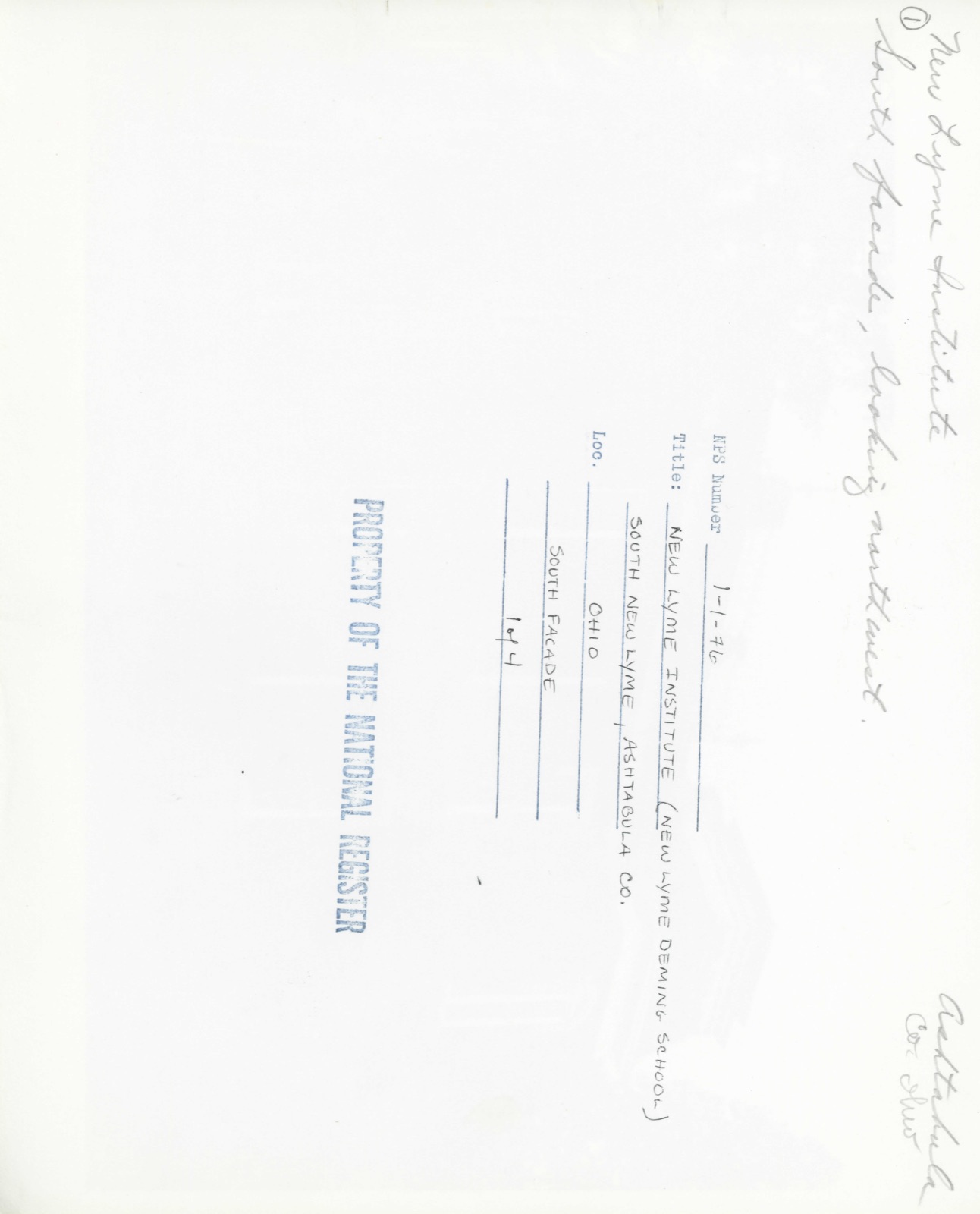
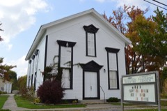
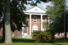
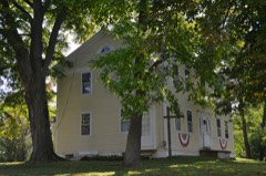
Photographs from the nomination case file, National Park Service records.
New Lyme Institute
Listed on the National Register of Historic Places in
1976. A historic map-sheet match is not published yet. The record needs a coordinate-quality review before it can be joined to a sheet boundary.
From the record
one of 36 National Register listings in Ashtabula County · listed in 1976 · category: Building · one of 1 National Historic Landmarks in Ashtabula County.
National Register reference number.76001367- the number the National Park Service assigned this property when it was listed, and the key its nomination file is catalogued under at the National Archives.
The ground it stands on
26 words
This property stands in New Lyme Township. History of Ashtabula County Ohio, published 1924 gives that township a chapter of its own.
The chapter covers the township.
Machine-read from a century-old scan, so
expect the errors a machine makes: misspelled names, dropped words,
stray characters.
Regional context, not property-specific
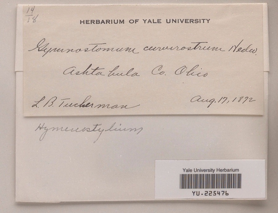
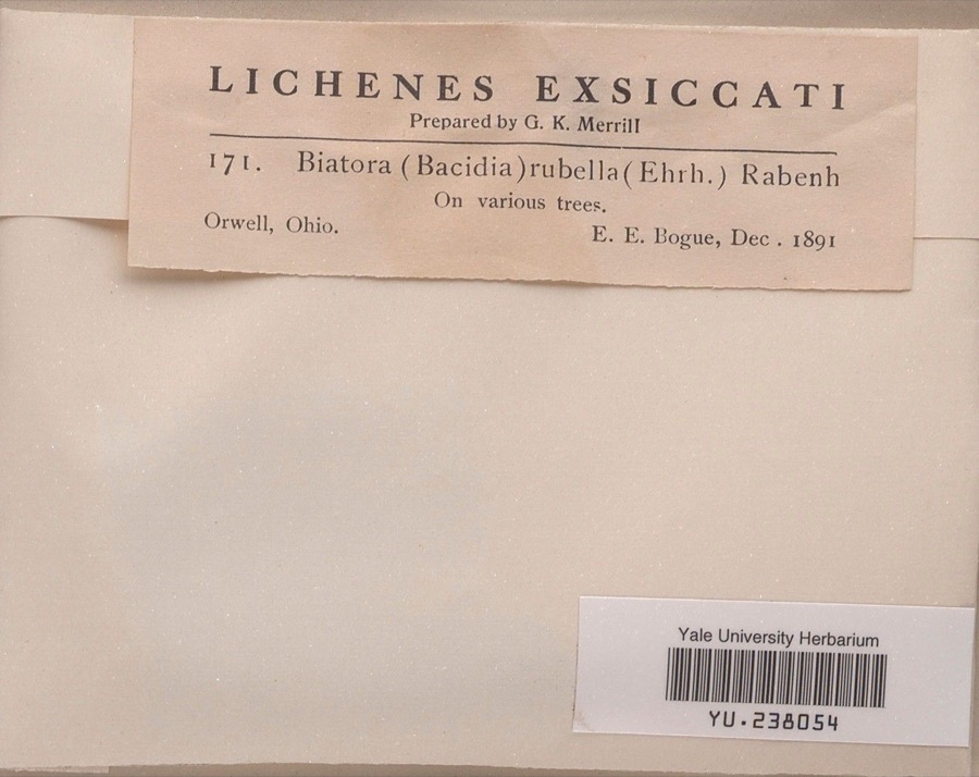
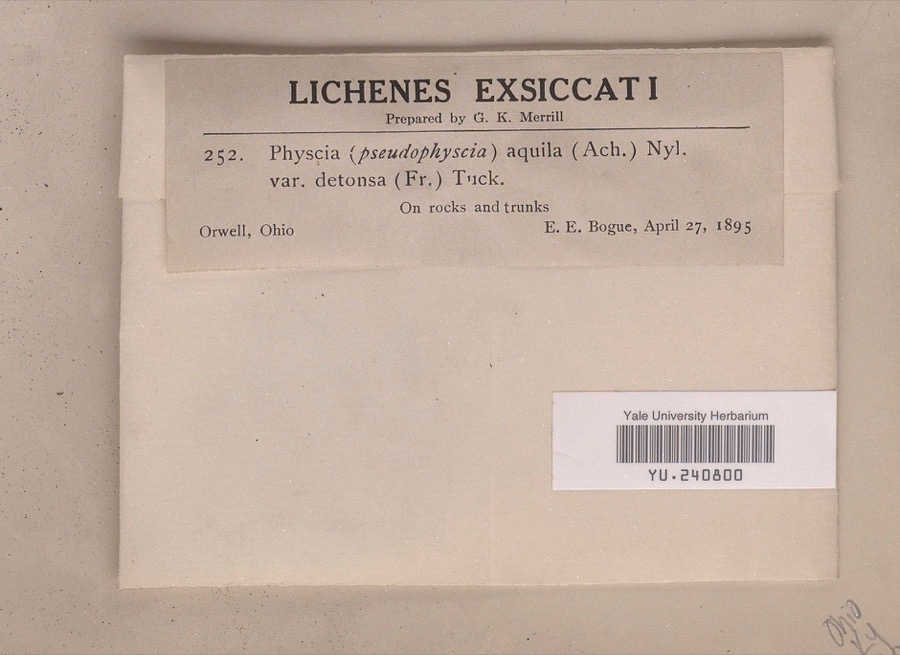
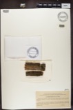
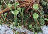
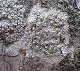
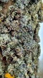
evidence. Museums hold 482 specimens
collected within 10 miles of New Lyme Institute between 1872 and
1975: 432 Animalia, 36 Fungi, 14 Plantae. 12 distinct Species records are shown.
Collected by A.E. Daugherty, Acker, G. G. & Class, Armbruster, D. C. (Daniel C.) and others. Each is a
physical object with a catalogue
number, and each entry opens the museum's record. This is what was
collected and kept, not a survey of what lives here - nothing can be
concluded from a species being absent.
No historic map-sheet match is published
for this property yet. That does not mean no map exists. This record needs
a coordinate-quality review before it can be joined to a sheet boundary.
Browse the county's mapped places while that work is
pending.
From the nomination file
1,857 words on record
When this property was proposed for the
National Register, someone wrote the case for it: what the building is,
and why it matters. That document is a federal record in the public domain.
It is quoted below word for word, never summarised. The text was read off the scanned case file by machine, so the
occasional stray character is the recogniser's and the 1970s
typewriter's.
Description of the property
istics. They are basically utilitarian twentieth century school buildings with plain rooms and corridors. The building is located on the wooded bank of Lebanon Creek nineteenth century feeling and association of the building, in spite of the alterations. CONDITION UNEXPOSED auditorium. RUINS UNALTERED DESCRIPTION and then a square stage. Above this was a belfry and a pyramidal FAIR has been enlarged into a large continuous three-part window. The traves.The entrance bay second-story window has a segmental arch.
XALTERED XGOOD This is a two-story rectangular brick building with elements of in an ideal wooded setting, which contributes greatly to the _DETERIORATED the Victorian Italianate style, and two modern dependent wings.There a similar belfry removed from the east end.The roof is hipped and iron cresting at the summit.The eaves have widely spaced wooden The window pattern of the rear (north) elevation has been altered. interior is largely unaltered, with high ceilings, original partitions, XORIGINAL SITE staircase and woodwork. On the second floor there is a large in 1957.
Neither of these has distinguishing architectural character- CHECK ONE brackets.The windows have straight stone lintels and dropped archi- corridor, there is a two-story brick wing with a hipped roof added roof which were removed in the early twentieth century.There was Four of the windows have been made into fire exit doors, and one _EXCELLENT isa square entrance bay projecting from the south facade.It stands built in 1878-1879.The entrance tower has a short mansard roof - MOVED to the west of the center, the second of five bays. There is a clearly marked vertical joint between the third and fourth bays, indicating that the building was expanded shortly after the original section was covered with tin batten roofing. There is handsome ornamental in 1938.
Although considerably altered, this building holds an important The institute was founded in 1878 under the name of Northern The first president was Jacob Tuckerman, a native of Connecticut who had come to Ohio in 1836, studied at Kingsville Academy and at Oberlin, and served as superintendant of the Ashtabula County the attendance reached 300 students, and the Institute flourished 1879-1923 COMMERCE 1400-1499 LAW SIGNIFICANCE 1500-1599 ENGINEERING PERIOD RELIGION ARCHEOLOGY-HISTORIC BUILDER/ARCHITECT ART EXPLORATION/SETTLEMENT 1700-1799 ARCHITECTURE SCIENCE MILITARY INVENTION LITERATURE MUSIC trustees as a community building.
PREHISTORIC XEDUCATION _POLITICS/GOVERNMENT 1900- _ECONOMICS for the Ohio State Normal College which was finally located at Kent, Deming saw the possibility of an institute supplying the great need Schools and principal of Orwell Academy.During his administration was called Deming School.It became a part ofa consolidated school _TRANSPORTATION under his presidency, which lasted until 1897. northeastern Ohio, and especially in the local history of the township. funds toward the building were donated by Judge William S.Deming, _COMMUNICATIONS several years.It is about to be acquired by the Lyme Township INDUSTRY lasted until 1923, when the building became a public school and The school was incorporated as the New Lyme Institute in 1883.
_CONSERVATION When the State Legislature was seeking a location in 1910 Ohio Collegiate and Business Institute.The land and $3,ooo in matching the New Lyme Institute was one of the candidates.The Institute - PHILOSOPHY -1600-1699 _THEATER _COMMUNITY PLANNING district in 1961. More recently the building has stood vacant for New Lyme's most important citizen at the time. Aged 65, Judge ARCHEOLOGY-PREHISTORIC for preparatory education. The building was first opened in 1879.
Quoted from the National Register nomination
for reference 76001367, 16 pages, held by the National Archives in Record
Group 79. See the
catalogue record.
Listed places nearby
3 within 8 miles
Other National Register properties close
enough to walk or drive between, ordered by distance from this one. Both
positions come from the same geocoding pass that matched these properties
to their map sheets.
Listing record. National Park Service National Register of Historic Places, listed-properties dataset, current to 2026-05-22.
Map join. Address geocoded through the United States Census geocoder, then tested against the published boundary of every sheet in the USGS Historical Topographic Map Collection.
How this page is made. Listing fields come from federal records; map-sheet coverage is a labelled coordinate-to-boundary calculation, not a source-field claim.
Specimens. Global Biodiversity Information Facility (GBIF), https://www.gbif.org/. Only records licensed CC0 or CC BY are used. Records licensed CC BY-NC are excluded because this site carries advertising. Images are checked individually and any whose licence is non-commercial, no-derivatives or unreadable is refused.
 Block
Block