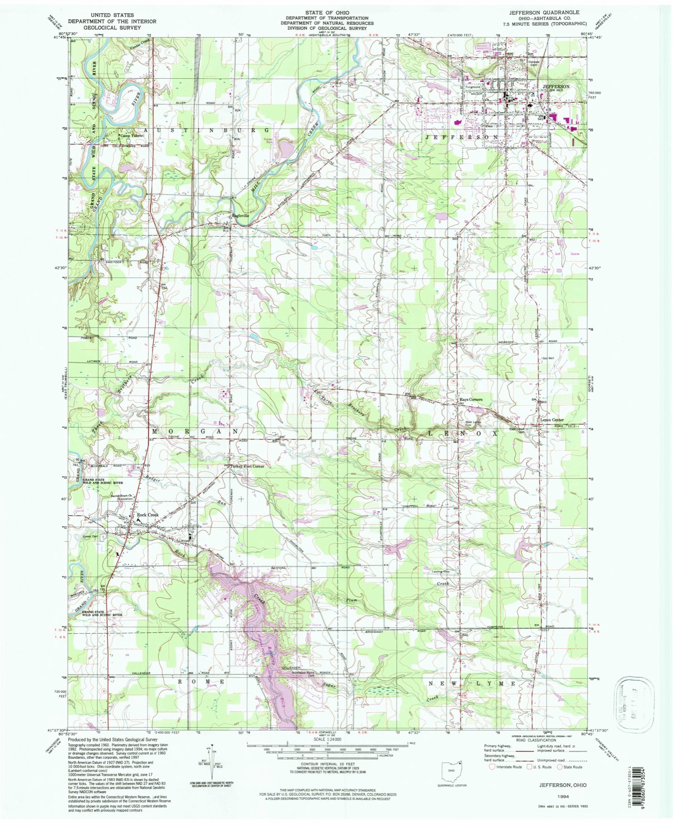
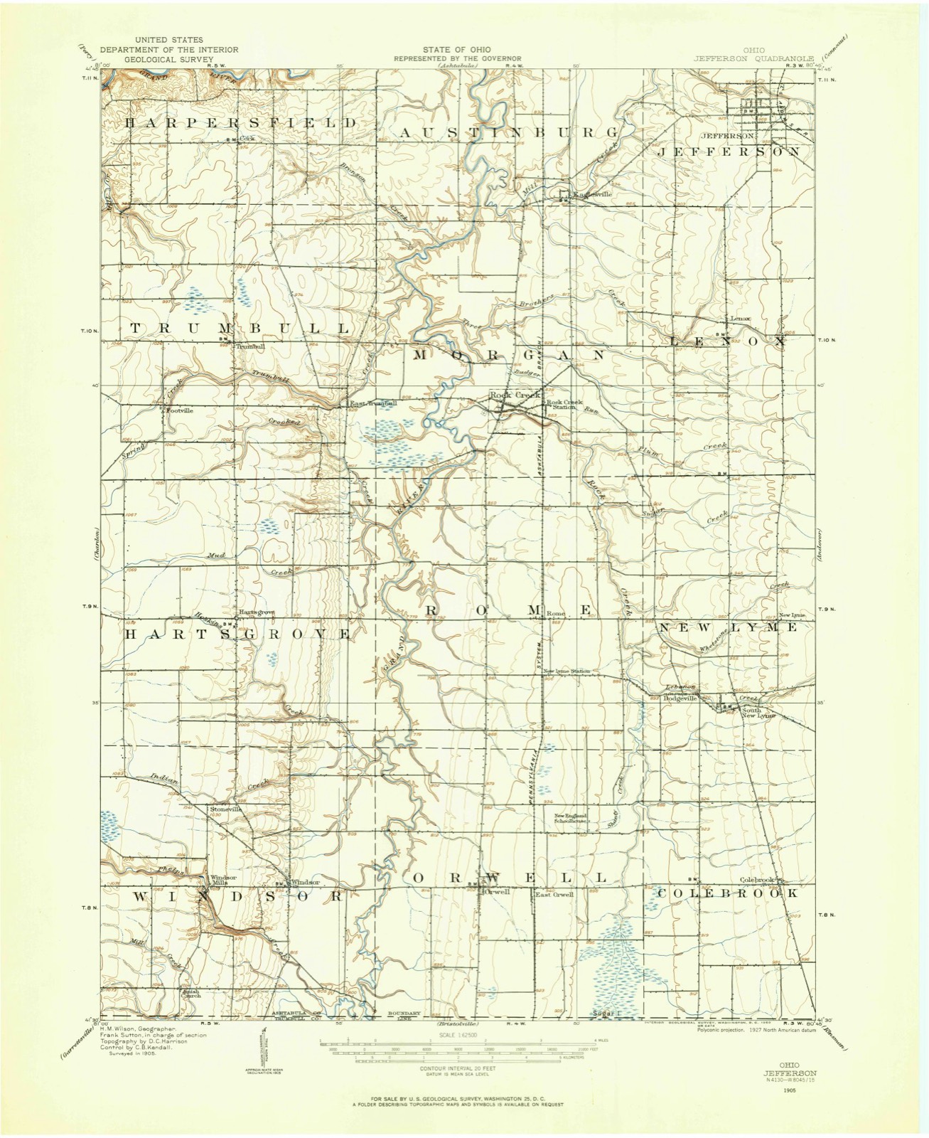
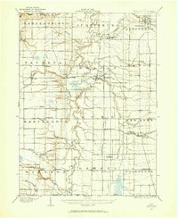
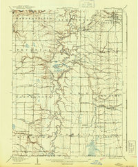
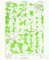
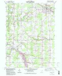
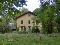
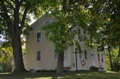
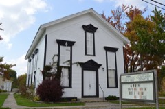
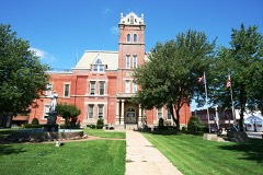
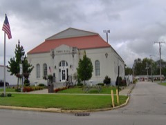
Listed on the National Register of Historic Places in 2005. 7 historic topographic surveys show this location, the earliest from 1905.
From the record
“The desire for approbation is as legitimate as the desire for food, and when a man, actuated by pure motives, accomplishes something from which good is derived, he merits the approval of the hearts that love him, and he receives their expressions of praise with grateful pleasure. It is our purpose to write a brief notice in commendation of him whose name and portrait head this sketch, feeling assured that by a meritorious and blameless life he is deserving of mention in the pages of this work.”
History of Ashtabula County, Ohio (1878). Machine-read text.
One of 38 National Register listings published here for Ashtabula County · listed in 2005 · category: Building.
National Register reference number.05000023- the number the National Park Service assigned this property when it was listed, and the key its nomination file is catalogued under at the National Archives.
Then and now
1905 to 1994
The ground this property stands on, surveyed
89 years apart. Drag the handle to wipe between them. Both sheets are
United States Geological Survey originals; neither has been altered.
19051994
The ground it stands on
7,551 words
The chapter on Morgan Township in History of Ashtabula County, Ohio, published 1878 names Rock Creek. This is what it says, exactly as the scans read.
This road began at the mouth of Ashtabula creek and extended in a soutliwestwardly direction over the ridge until it reached the north line of Austinburg, at the centre of this line, thence passing through the township southwardly. It deviated to the east so as to pass one mile to the east of the centre of Morgan, and passed out of Morgan at its southeast corner. The Torringford land company employed Mr. T. R. Hawley in 1801 to open that portion of this road that passes through this township, and on in a southeasterly direction to Gustavus, in Trumbull county. This road became a thoroughfare of immigration, and often was in such a condition that four or five barrels of salt was a full load for a team of four sturdy oxen ; and nine or ten miles were a good day's journey. Previous to the year 1808, when a grist-mill was erected by Ambrose Humphrey, the people of Morgan were compelled to go to Austinburg for their grist, and before they raised enough potatoes, wheat, etc., to answer for their subsistence, they had to transport these articles a distance of forty or fifty miles, and thus were compelled not only to pay an exorbitant price for these necessary articles of food, but, owing to the condition of the roads, obtained them at the expense of great personal hardship. Roads were subsequently laid out in the township as follows : December, 1814, from Morgan to Lenox, on petition of Jas. Walling and others. June, 1816, from the dwelling-house of Clement Tuttle, lot No. 6, through the centre of said township. June, 1817, from the centre road eastwardly to the centre road in Lenox. December, 1817, from A. Fenton's to Foot's mill; same date, from north side of Rock Creek to New Lyme road. March, 1818, from lot No. 8 to road leading from New Lyme to Rome. March, 1825, Morgan and Trumbull road, beginning near the house of Roger Foot in Morgan, thence wcstwardly to the State road leading from Harpersfield to Windsor. June, 1825, Chardon and Jefferson road from Grand river to the turnpike. December, 1828, from near Jesse D. Hawley's to intersect the Trumbull road near M. Beach's laud.
Probably no one branch of business has contributed so much towards making Rock Creek the thrifty and enterprising village it is as have her tanneries. The first tannery was erected as early as 1821, by Joseph Ferry, on the present site of Mr. Wilcox's tannery, in the west part of the corporation. This Mr. Ferry was proprietor of for about twelve years, when he sold to Mr. A. B. Sperry. Mr. Sperry conducted the business at this stand some fourteen or fifteen years, when he transferred the property to a Mr. Bidwell Strickland, who was proprietor for about five years, and sold to Robert Harper. Mr. Harper, after continuing as proprietor a few years, sold to the present owner, Mr. A. C. Wilcox. Mr. Wilcox, since becoming proprietor, has repaired and added to the original buildings and has successfully conducted a large business. The front part of the present buildings is the same as first erected in 1821.
Regional context, not property-specific
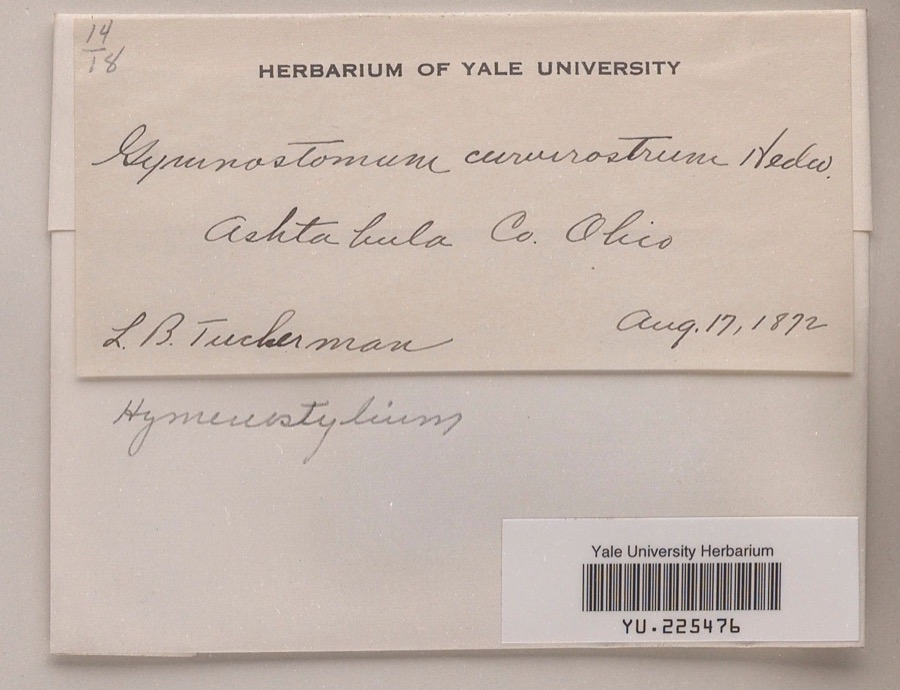
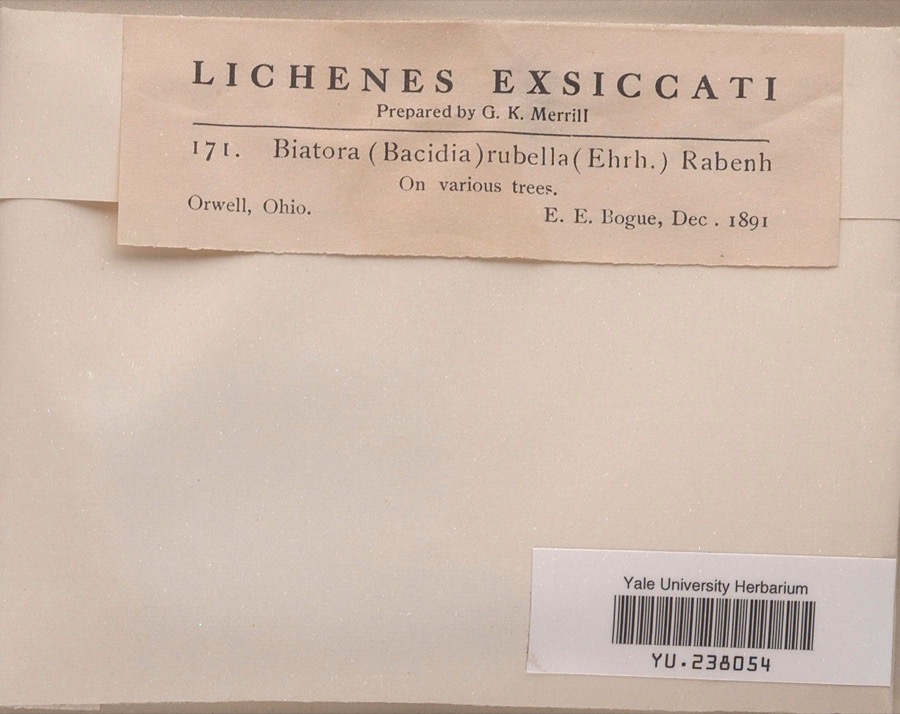
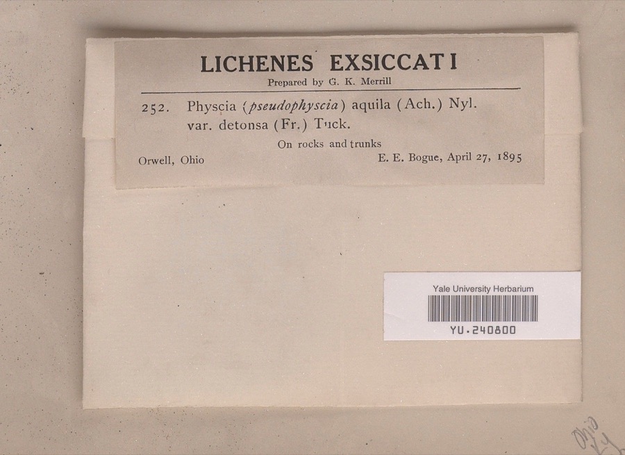
evidence. Museums hold 920 specimens
collected within 10 miles of Rock Creek School between 1872 and 1975: 874 Animalia, 29 Fungi, 17 Plantae.
12 distinct Species records are shown.
Collected by A. B. Fuller, A.E. Daugherty, Ansley, G and others. Each is a
physical object with a catalogue
number, and each entry opens the museum's record. This is what was
collected and kept, not a survey of what lives here - nothing can be
concluded from a species being absent.
Regional context, not property-specific
evidence. The National Weather Service names
Rock Creek, the town this property stands in, in 14 storm reports between 2000 and 2025: 7 thunderstorm wind, 7 hail.
No death or injury is recorded in these reports. Each account below is quoted exactly as the forecast office
filed it, from the NOAA Storm Events Database, and each date
opens the federal record of that event.
United States Geological Survey topographic
sheets whose coverage includes this point. Matched by taking the coordinate the National Park Service records for this property, then
testing that coordinate against the published boundary of every sheet.
When this property was proposed for the
National Register, someone wrote the case for it: what the building is,
and why it matters. That document is a federal record in the public domain.
It is quoted below word for word, never summarised. The text was read off the scanned case file by machine, so the
occasional stray character is the recogniser's and the 1970s
typewriter's.
Statement of significance
Applicable National Register Criteria Areas of Significance (Enter categories from instructions) for National Register listing.) XA Property is associated with events that have made a significant contribution to the broad patterns of L B Property is associated with the lives of persons significant in our past. X C Property embodies the distinctive characteristics of a type, period,ormethod of construction or represents the work of a master, or possesses high artistic values, or represents a significant and Period of Significance distinguishable entity whose components lack 1869 - 1949 - D Property has yielded, or is likely to yield, information important in prehistory or history. (Mark "x" in all the boxes that apply.) Significant Person - B removed from its original location.
(Complete if Criterion Bis marked above) - C a birthplace or grave. Cultural Affiliation - D a cemetery. - E a reconstructed building, object, or structure. - F a commemorative property. - G less than 50 years of age or achieved significance within the past 50 years. Fulton, Taylor and Cahill Cleveland, OH Keich & 0'Brian (auditorium) Narrative Statement of Significance (Explain the significance of the property on one or more continuation sheets.) 9.
Quoted from the National Register nomination
for reference 05000023, 49 pages, held by the National Archives in Record
Group 79. See the
catalogue record.
Listed places nearby
6 within 8 miles
Other National Register properties close
enough to walk or drive between, ordered by distance from this one. Both
positions come from the same geocoding pass that matched these properties
to their map sheets.
Listing record. National Park Service National Register of Historic Places, listed-properties dataset, current to 2026-05-22.
Map join. Address geocoded through the United States Census geocoder, then tested against the published boundary of every sheet in the USGS Historical Topographic Map Collection.
How this page is made. Listing fields come from federal records; map-sheet coverage is a labelled coordinate-to-boundary calculation, not a source-field claim.
Specimens. Global Biodiversity Information Facility (GBIF), https://www.gbif.org/. Only records licensed CC0 or CC BY are used. Records licensed CC BY-NC are excluded because this site carries advertising. Images are checked individually and any whose licence is non-commercial, no-derivatives or unreadable is refused.
Storms. NOAA National Centers for Environmental Information, Storm Events Database https://www.ncei.noaa.gov/stormevents/ A work of the United States government, no copyright under 17 U.S.C. 105. Narratives are quoted verbatim from the National Weather Service report and are not edited or summarised.
 Block