Listed on the National Register of Historic Places in
1976. A historic map-sheet match is not published yet. The record needs a coordinate-quality review before it can be joined to a sheet boundary.
From the record
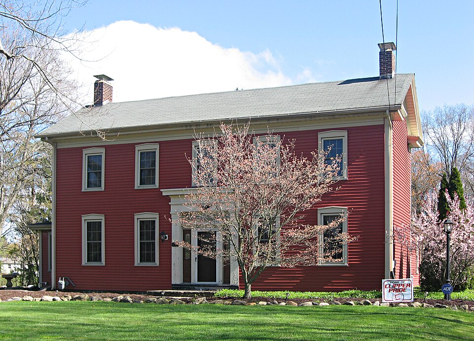
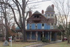
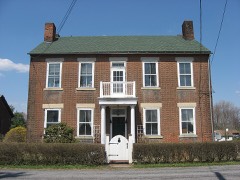
“The Jones-Bowman House was built in 1842 in Columbiana, Ohio. Jones who was the son of an abolitionist.”
Wikipedia article Jones-Bowman House, CC BY-SA 4.0.
one of 35 National Register listings in Columbiana County · listed in 1976 · category: Building · one of 1 National Historic Landmarks in Columbiana County.
National Register reference number.76001383- the number the National Park Service assigned this property when it was listed, and the key its nomination file is catalogued under at the National Archives.
The ground it stands on
5,192 words
The chapter on Fairfield Township in History of Columbiana County, Ohio, published 1879 names Columbiana. This is what it says, exactly as the scans read.
The following are at present practicing in the township : At Columbiana, Dr. George S. Metzger, who was born in York Co., Pa., in 1815, graduated at the Jefferson Medical College, Philadelphia, and began the exercise of his profession in Columbiana in 1836. He married Margery Nichols of that place in the following year. As a physician and surgeon he has been active, with but little intermission, for nearly forty-four years, and formerly extended his rides into Western Pennsylvania. He has one son and two daughters, all married.
Ephraim Holloway, Sr., one of the early settlers of the county, was born in New Jersey. When but a small boy he moved with his father, John Holloway, to Culpeper Co., Va., where the father resided until his death. Ephraim married Miss Susanna Garwood, of Culpeper Co., Va., but who was also a native of New Jersey. In 1801 he moved with bis family, then consisting of his wife and two daughters, to Columbiana County, locating on the northwest quarter of section 36, in Salem township, which he improved, and where he resided until his death ; he died in 1845, at the advanced age of sixty-eight years. His widow resided in Columbiana and Mahoning Counties until 1866, at which time she died in Green township, Mahoning County, at the advanced age of eighty-nine years. There were born to them twelve children, as follows: Susanna, Mary, Margaret, John, Isaiah, Sarah,
Regional context, not property-specific
evidence. The
federal wildfire occurrence database
lists 6 fires within 5 miles of Jones-Bowman House between
2004 and 2014, burning about 15 acres in total. None started naturally. None was recorded as arson.
Distance is straight-line from the map coordinates, so a fire counted
here may appear on a neighbouring settlement's page as well.
Reported cause
Fires
Debris and open burning
4
Recreation and ceremony
1
Missing data/not specified/undetermined
1
The most recent of
them, most recent first, with the day each was reported and the service
that recorded it.
Regional context, not property-specific
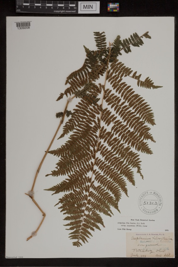
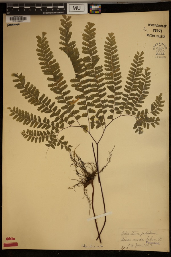
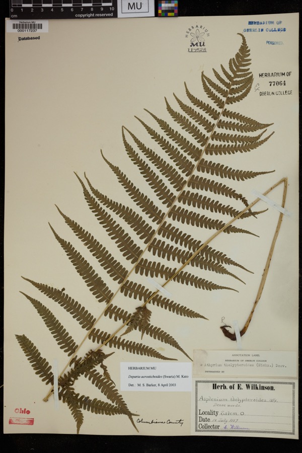
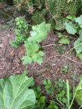
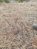
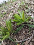
evidence. Museums hold 555 specimens
collected within 10 miles of Jones-Bowman House between 1882 and
1975: 308 Plantae, 206 Animalia, 40 Fungi, 1 Unrecorded. 12 distinct Species records are shown.
Collected by ?, Adler, K. K., Andreas, B.; Cusick, A.W. and others. Each is a
physical object with a catalogue
number, and each entry opens the museum's record. This is what was
collected and kept, not a survey of what lives here - nothing can be
concluded from a species being absent.
Regional context, not property-specific
evidence. The federal mineral resources record lists
4 workings within 5 miles of Jones-Bowman House: 2 past producers, 2 producers.
2 still produce. What was taken out: Sand and Gravel, Construction, Manganese, Chromium. Distance is straight-line from the
map coordinates, so a quarry counted here may appear on a neighbouring
settlement's page as well.
Regional context, not property-specific
evidence. The National Weather Service names
Columbiana, the town this property stands in, in 17 storm reports between 1997 and 2015: 11 thunderstorm wind, 4 hail, 1 flash flood, 1 flood.
No death or injury is recorded in these reports. Each account below is quoted exactly as the forecast office
filed it, from the NOAA Storm Events Database, and each date
opens the federal record of that event.
About 3:30 PM EDT, a microburst started just southwest of Columbiana, near Route 164. It moved northeast through a residential area and onto a golf course. Path length 0.25 mile; path wide 100 yards. Estimated maximum wind gust 70 mph (61 kt). Numerous trees were toppled or had their tops snapped off. A trampoline was lifted hundreds of feet into the air and slammed into a tree, and was destroyed. A few cars received damage from flying debris. Several large trees on the golf course were blown down.
No historic map-sheet match is published
for this property yet. That does not mean no map exists. This record needs
a coordinate-quality review before it can be joined to a sheet boundary.
Browse the county's mapped places while that work is
pending.
From the nomination file
1,307 words on record
When this property was proposed for the
National Register, someone wrote the case for it: what the building is,
and why it matters. That document is a federal record in the public domain.
It is quoted below word for word, never summarised. The text was read off the scanned case file by machine, so the
occasional stray character is the recogniser's and the 1970s
typewriter's.
Description of the property
It has a two-story pent roofed additon of a later date in the angle of the "L". The structure is on a stone foundation. doorway is slightly recessed and is framed by square, wood columns and At the roofline there is a wide, plain frieze and plain box cornice. The west end has two windows, one per floor, which are placed toward the the frieze boards. This detail is employed at all corners, even those of The north elevation has a single, first floor window in the gable end. The with the gable end of the "L" but extends only halfway across the front the first floor and a small window centered on the second floor. The portion of the addition which faces east has two 6/6 light window on the siding is quite old, though probably not original..
It is likely that all CONDITION UNEXPOSED XALTERED EXCELLENT DETERIORATED UNALTERED XGOOD the addition. FAIR pediment.Windows throughout the original portion are identical to these. CHECK ONE burning fireplaces and spiral staircase to the second floor are original. 7DESCRIPTION which appear to be original.A modern aluminum storm door covers the paneled The facade faces south.It is five bays wide with a center entrance. The There are pegged floors and ten foot ceilings in the interior.Four wood- is a slight flair and small coping molding where the corner boards meet or part of the house was resided after the rear additon was built.
second floor and a door and window on the first.The front portion of the house has a window on each floor of this elevation.These abut the angle This addition has a picture window (an even later alteration) on a wide entablature. The doorway has a two light transom and sidelights gable end of the front portion of the house.
1600-1699 ARCHEOLOGY-HISTORIC INVENTION ART POLITICS/GOVERNMENT BUILDER/ARCHITECT PHILOSOPHY PERIOD ARCHEOLOGY-PREHISTORIC INDUSTRY TRANSPORTATION SIGNIFICANCE MILITARY ARCHITECTURE THEATER LITERATURE AGRICULTURE farm-like setting. _COMMUNICATIONS MUSIC Joshua Bowman. _CONSERVATION -1400-1499 The Jones-Bowman house is an early and particularly well-preserved house to have been used on the Underground Railroad.The property was purchased X1800-1899 it a good example of regional architecture.It retains its original, in Columbiana County.The simplicity of the moldings and entrance make was the sone of Catlett Jones, an ardent abolitionist.The house is believed _PREHISTORIC -1500-1599 _SCULPTURE The house was probably built about 1842 by J.(Joshua?) Jones.Jones - 1700-1799 in 1885 by E.
Bowman who was the daughter of Melvina (Jones) and -RELIGION -1900- -LAW
Quoted from the National Register nomination
for reference 76001383, 12 pages, held by the National Archives in Record
Group 79. See the
catalogue record.
Listed places nearby
4 within 8 miles
Other National Register properties close
enough to walk or drive between, ordered by distance from this one. Both
positions come from the same geocoding pass that matched these properties
to their map sheets.
Listing record. National Park Service National Register of Historic Places, listed-properties dataset, current to 2026-05-22.
Map join. Address geocoded through the United States Census geocoder, then tested against the published boundary of every sheet in the USGS Historical Topographic Map Collection.
How this page is made. Listing fields come from federal records; map-sheet coverage is a labelled coordinate-to-boundary calculation, not a source-field claim.
Wildfire. Short, Karen C. 2022. Spatial wildfire occurrence data for the United States, 1992-2020 [FPA_FOD_20221014]. 6th Edition. Fort Collins, CO: Forest Service Research Data Archive. https://doi.org/10.2737/RDS-2013-0009.6 Collected with United States Government funding and usable without additional permissions or fees.
Specimens. Global Biodiversity Information Facility (GBIF), https://www.gbif.org/. Only records licensed CC0 or CC BY are used. Records licensed CC BY-NC are excluded because this site carries advertising. Images are checked individually and any whose licence is non-commercial, no-derivatives or unreadable is refused.
Mines and quarries. USGS Mineral Resources Data System (MRDS) https://mrdata.usgs.gov/mrds/ A work of the United States government, no copyright under 17 U.S.C. 105.
Storms. NOAA National Centers for Environmental Information, Storm Events Database https://www.ncei.noaa.gov/stormevents/ A work of the United States government, no copyright under 17 U.S.C. 105. Narratives are quoted verbatim from the National Weather Service report and are not edited or summarised.
 Block
Block