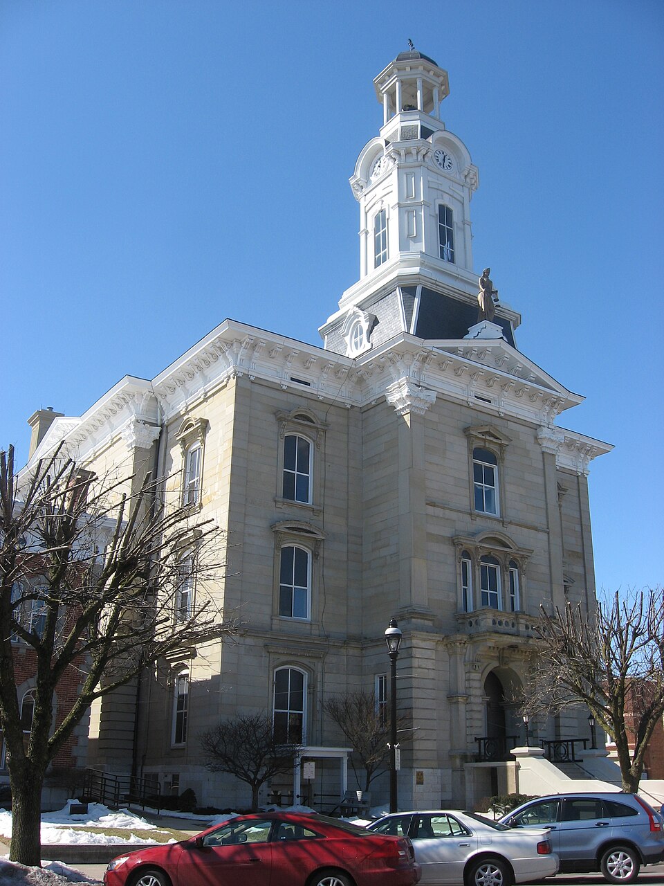
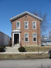
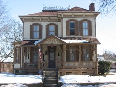
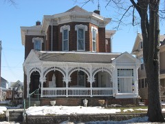
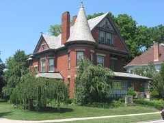
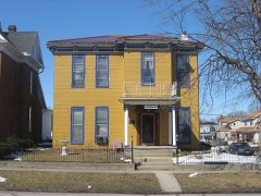
Darke County Courthouse, Sheriff's House, And Jail
Listed on the National Register of Historic Places in
1976. A historic map-sheet match is not published yet. The record needs a coordinate-quality review before it can be joined to a sheet boundary.
From the record
“The Darke County Courthouse, Sheriff's House and Jail are three historic buildings located at 504 South Broadway just south of West 4th Street in Greenville, Ohio. On December 12, 1976, the three buildings of the present courthouse complex were added to the National Register of Historic Places.”
Wikipedia article Darke County Courthouse, Sheriff's House and Jail, CC BY-SA 4.0.
one of 25 National Register listings in Darke County · listed in 1976 · category: Building.
Architectural style. Second Empire architecture in the United States and Canada, Renaissance Revival architecture
National Register reference number.76001409- the number the National Park Service assigned this property when it was listed, and the key its nomination file is catalogued under at the National Archives.
Darke County was organized in March, 1817, from Miami County. It is abundantly timbered with poplar, walnut, blue ash, hickory, beech and sugar maple. It yields superior wheat, and is well adapted to grazing. In this county occurred the lamentable defeat of St. Clair, and the treaty of Greenville.
Greenville is the county seat, and was laid out August 10, 1808, by Robert Gray and John Dover. In December, 1793, Wayne built Fort Greenville on this spot, which covered about the same extent as the present town.
Regional context, not property-specific
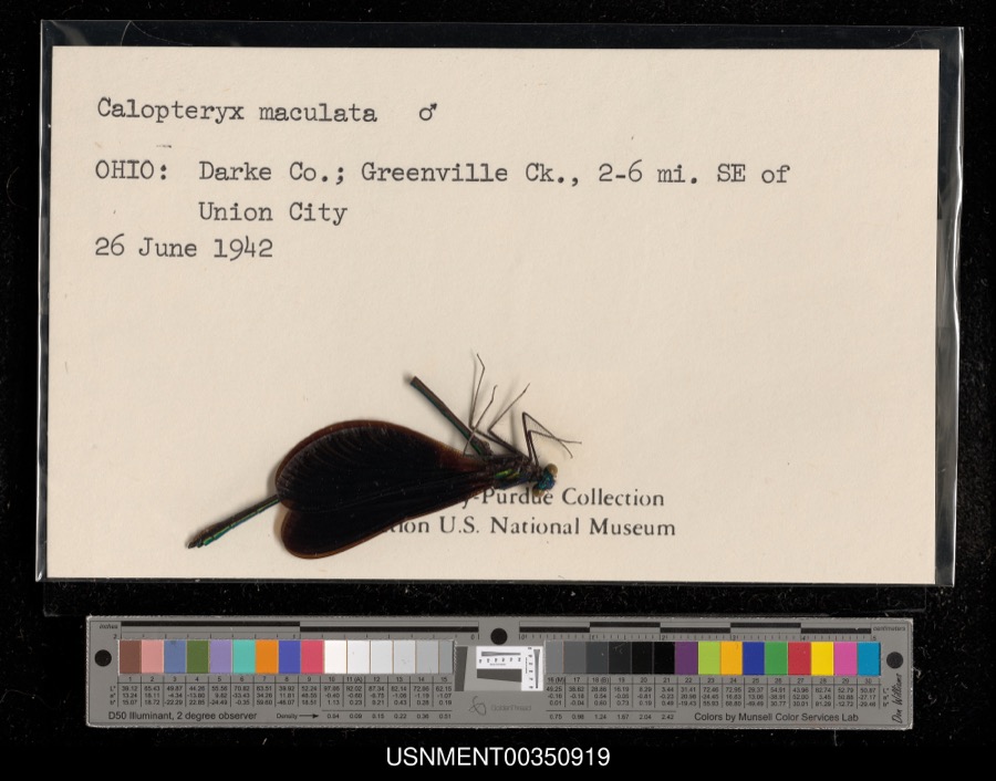
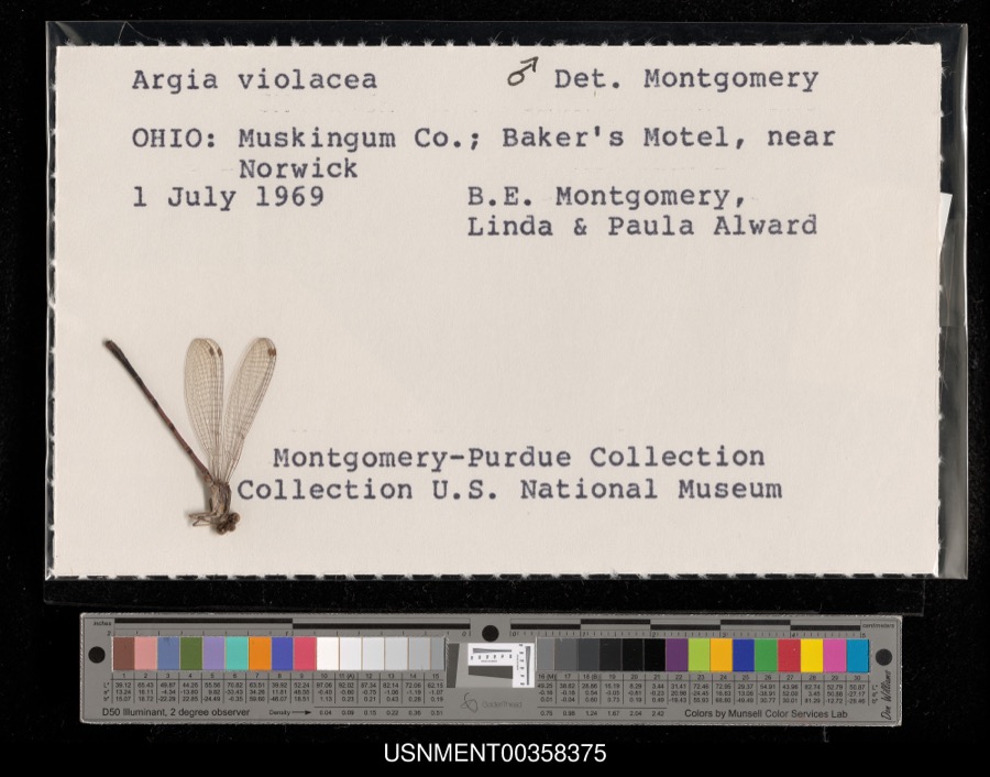
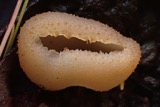
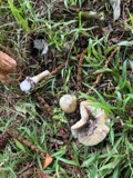
evidence. Museums hold 478 specimens
collected within 10 miles of Darke County Courthouse, Sheriff's House, And Jail between 1895 and
1975: 446 Animalia, 18 Plantae, 14 Fungi. 12 distinct Species records are shown.
Collected by A VERWYST, A. F. C.; Stover, W. G., Albrecht, C. and others. Each is a
physical object with a catalogue
number, and each entry opens the museum's record. This is what was
collected and kept, not a survey of what lives here - nothing can be
concluded from a species being absent.
Regional context, not property-specific
evidence. The federal mineral resources record lists
5 workings within 5 miles of Darke County Courthouse, Sheriff's House, And Jail: 3 producers, 2 past producers.
3 still produce. What was taken out: Sand and Gravel, Construction, Clay. Distance is straight-line from the
map coordinates, so a quarry counted here may appear on a neighbouring
settlement's page as well.
Regional context, not property-specific
evidence. The National Weather Service names
Greenville, the town this property stands in, in 65 storm reports between 1994 and 2026: 31 thunderstorm wind, 18 hail, 9 flood, 4 flash flood.
No death or injury is recorded in these reports. Each account below is quoted exactly as the forecast office
filed it, from the NOAA Storm Events Database, and each date
opens the federal record of that event.
Several mobile homes in the Sherwood Forest Trailer Park suffered severe damage, and a nearby 10' by 12' shed was destroyed. The roof of a home on Hog Path Road was torn off.
High water was reported on roads and some roads were closed due to heavy rainfall and previous snow melt. Flooding began around 0749 EST on February 28th and continued until around 1100 EST on March 1st. Damage estimates during February were around five-thousand dollars.
High water was reported on roads and some of the roads were closed due to heavy rainfall and previous snow melt. Flooding began around 0749 EST on February 28th and continued until around 1100 EST on March 1st. Damage estimates during March were around five-thousand dollars.
Hail as large as baseballs fell across the county for the second time in 90 minutes. This time the hail fell over a populated area causing damage to many cars, including 2 car lots.
1 paper published in this town,
digitised by the Library of Congress and free to read: 0 issues,
0 pages. Every page is searchable, so a name or a street can be
looked for directly in what the town printed about itself at the time.
No historic map-sheet match is published
for this property yet. That does not mean no map exists. This record needs
a coordinate-quality review before it can be joined to a sheet boundary.
Browse the county's mapped places while that work is
pending.
From the nomination file
1,672 words on record
When this property was proposed for the
National Register, someone wrote the case for it: what the building is,
and why it matters. That document is a federal record in the public domain.
It is quoted below word for word, never summarised. The text was read off the scanned case file by machine, so the
occasional stray character is the recogniser's and the 1970s
typewriter's.
Description of the property
a second mansard with semi-circular hoods and a connecting cornice The Sheriff's House has a three bay facade, the central bay CONDITION pilasters. The elevations of smooth dressed ashlar are symmetrical with The north side projection has four semi-circular windows on a mansarded base with compound rails and oval decorative See Continuation Sheet of two approximately square structures sitting on high ashlar clock tower has beveled corners, panelled spandrels and segmental low hip roof hidden behind the bracketed box cornice has four The Sheriff's House and Jail is an excellent High Victorian bracketed cornice with panelled frieze. The jail is in diminished scale.
CHECK ONE The plan is rectangular with central projections on three sides on the first floor and high windows with semi-circular transoms reminiscent of the Renaissance Revival and Second Empire styles. The central entrance pavilion has a straight monumental stair- _DETERIORATED that have Corinthian pilasters on rusticated bases at the margins. elliptical doorway with round arched sidelights that have a blocks supporting a decorative stone balcony with pierced stone of the side pavilions. The Darke County Courthouse is an eclectic structure XORIGINAL SITE way with rail.The stone tabernacle entrance has a semi-circular segmental 2/2 double hung sash windows three levels; a high foundation, the first story with rusticated roof on columns sheltered the bell.The cupola has been removed.
trim capped by a belt course and two stories capped by a that have bracketed hoods that vary from floor to floor.The _UNALTERED - UNEXPOSED _FAIR windows with 2/4 double hung sash. projection on each side have. brackets. dormers. structure in a Renaissance Revival mode. The building consists The upper level of the pavilion is framed by Corinthian XALTERED balustrade resting on brackets. shouldered segmental hood mould on brackets.
the "admirable arrangement, to secure the comfort and safety tower, including restoration of the cupola over the bell. The 1600-1699 1400-1499 1700-1799 ART 1870-1874 ENGINEERING INVENTION LAW ARCHEOLOGY-HISTORIC AGRICULTURE PERIOD SIGNIFICANCE POLITICS/GOVERNMENT THEATER ARCHEOLOGY-PREHISTORIC BUILDER/ARCHITECT PREHISTORIC MILITARY 1900- TRANSPORTATION INDUSTRY _EXPLORATION/SETTLEMENT LITERATURE SCULPTURE the structure. RELIGION _COMMUNICATIONS attempt at strict classification." of these courthouses added weight and dignity to a decentralized building before the lackluster porch was added.
reminder of the archaic practice of providing the county sheriff county allegedly led by the chamber of commerce that would remove The Sheriff's House and Jail is a fine High Victorian _EDUCATION (Dayton contractor) Bicentennial Committee to raise funds for repair of the clock to the courthouse as"Corinthian style of architecture but with Architecturally the Darke County Courthouse is one of the Rouzer and Rouzer Judge D.L.Meeker held the first court in the building on to replace it by a modern structure.A group of concerned a residence adjacent to or connected with the county jail.This August 24,1874.A special ceremony officially opened the court- -SCIENCE - PHILOSOPHY project is estimated to cost up to $l20,oo0,more than was bid history records the building cost at $l20,oo0,a great sum for that -MUSIC The total the clock tower rather than repair and eventually raze the building Contemporary accounts praised by Jonathan Kenney of Dayton.
such additions and modifications as to render difficult any citizens have organized the Project Dome Committee of the County The Honorable The courthouse is threatened by an element in the one is unusually imposing.Contracted for in 1869,it was built original "dome" is in storage awaiting restoration. Old photos disclose that it was an outstanding for construction of the courthouse in l87o. of (the) prisoners."
Quoted from the National Register nomination
for reference 76001409, 10 pages, held by the National Archives in Record
Group 79. See the
catalogue record.
Listed places nearby
6 within 8 miles
Other National Register properties close
enough to walk or drive between, ordered by distance from this one. Both
positions come from the same geocoding pass that matched these properties
to their map sheets.
Listing record. National Park Service National Register of Historic Places, listed-properties dataset, current to 2026-05-22.
Map join. Address geocoded through the United States Census geocoder, then tested against the published boundary of every sheet in the USGS Historical Topographic Map Collection.
How this page is made. Listing fields come from federal records; map-sheet coverage is a labelled coordinate-to-boundary calculation, not a source-field claim.
Specimens. Global Biodiversity Information Facility (GBIF), https://www.gbif.org/. Only records licensed CC0 or CC BY are used. Records licensed CC BY-NC are excluded because this site carries advertising. Images are checked individually and any whose licence is non-commercial, no-derivatives or unreadable is refused.
Mines and quarries. USGS Mineral Resources Data System (MRDS) https://mrdata.usgs.gov/mrds/ A work of the United States government, no copyright under 17 U.S.C. 105.
Storms. NOAA National Centers for Environmental Information, Storm Events Database https://www.ncei.noaa.gov/stormevents/ A work of the United States government, no copyright under 17 U.S.C. 105. Narratives are quoted verbatim from the National Weather Service report and are not edited or summarised.
 Block
Block