Listed on the National Register of Historic Places in
1976. A historic map-sheet match is not published yet. The record needs a coordinate-quality review before it can be joined to a sheet boundary.
From the record
“Curtis Holgate was born inDummerston, Vt. , August 28, 1773. He was of English and Scotch descent, and was a son of Asa Holgate, whose father came from Eno-land, while we were colonies of Great Britain, as a Surgeon in the British Army.”
History of Defiance County, Ohio. Containing a History of the County; Its Townships, Towns, Etc.; Military Record; Portraits of Early Settlers and Prominent Men; Farm Views, Personal Reminiscences, Etc (1883). Machine-read text.
one of 8 National Register listings in Defiance County · listed in 1976 · category: Building.
National Register reference number.76001413- the number the National Park Service assigned this property when it was listed, and the key its nomination file is catalogued under at the National Archives.
The site of Defiance was already occupied when the village was platted. Situated as it was in the heart of a populous Indian nation, it was the location of many a French trader long before permanent settlements were made by white men. Oliver M. Spencer, of Cincinnati, who was held a prisoner here in 1792, thus describes the place as it appeared:
Defiance was, before Gen. Wayne's time, and for some time after, a place for Indian consultations and payments, and was to them a place of great importance. It was held by the British down nearly to the war of 1812, and it was here that they made much mischief by tampering with the semi-hostile tribes. It is stated that at one of the Indian gatherings, about 1810, as many as fifty traders were here, having temporary stores or booths, coming from Detroit or Canada.
Regional context, not property-specific
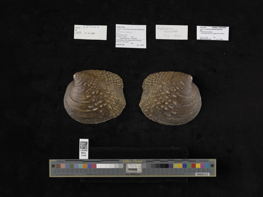
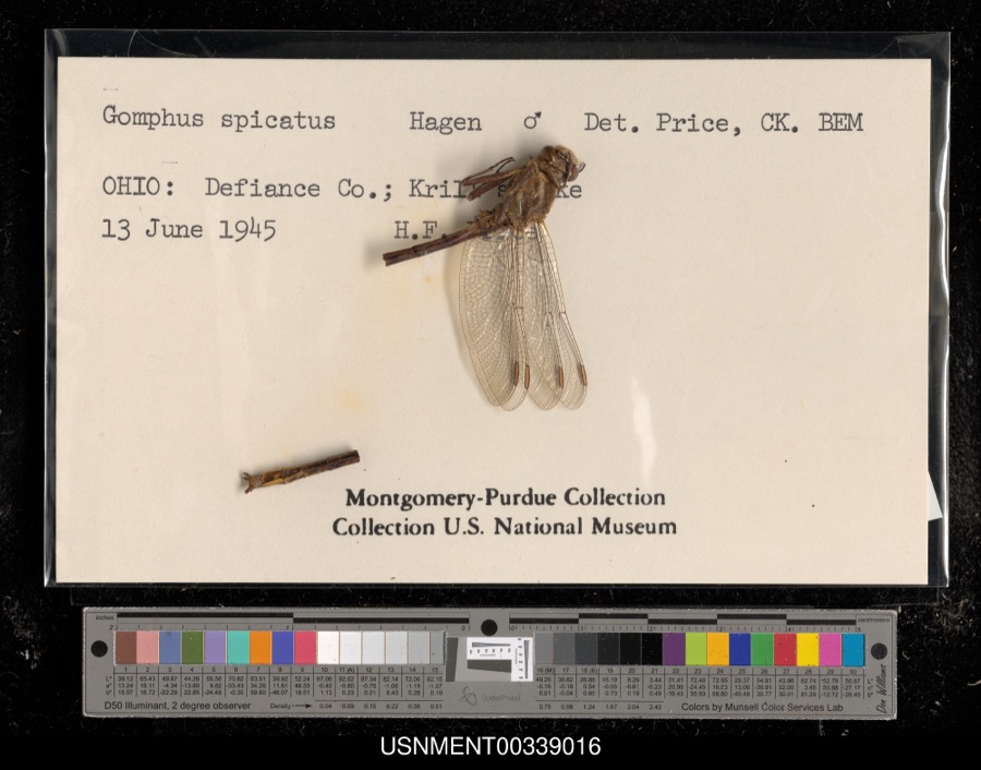
evidence. Museums hold 392 specimens
collected within 10 miles of East Side Fire Station between 1858 and
1974: 379 Animalia, 9 Plantae, 4 Fungi. 12 distinct Species records are shown.
Collected by Angle, E. (Eric) & Trautman, M. B. (Milton Bernard), Angle, E. (Eric), Trautman, M. B. (Milton Bernard) & Hoschak, J. (John), Athearn, Herbert D. and others. Each is a
physical object with a catalogue
number, and each entry opens the museum's record. This is what was
collected and kept, not a survey of what lives here - nothing can be
concluded from a species being absent.
Regional context, not property-specific
evidence. The federal mineral resources record lists
1 working within 5 miles of East Side Fire Station: 1 unknown.
None of them still produces. What was taken out: Iron. Distance is straight-line from the
map coordinates, so a quarry counted here may appear on a neighbouring
settlement's page as well.
Regional context, not property-specific
evidence. The National Weather Service names
Defiance, the town this property stands in, in 53 storm reports between 1994 and 2026: 37 thunderstorm wind, 15 hail, 1 flash flood.
No death or injury is recorded in these reports. Each account below is quoted exactly as the forecast office
filed it, from the NOAA Storm Events Database, and each date
opens the federal record of that event.
Emergency management officials reported several large trees were either uprooted or snapped in the city of Defiance. One of these trees fell onto a house on Washington Street, reportedly destroying the house. Another tree fell onto at least two parked car on Jefferson Avenue. No injuries were reported. Damage is estimated at $125,000.
A narrow band of thunderstorms continuously regenerated over parts of Defiance county during the morning. Estimates of 8 to 10 inches of rain fell in a 3 hour period. Emergency management reported flash flooding was most serious around Sherwood where roads were closed with 3 to 4 feet of water along Ohio Route 18 in and around Sherwood. Nearly 30 businesses and homes had some water into the first floor.
No historic map-sheet match is published
for this property yet. That does not mean no map exists. This record needs
a coordinate-quality review before it can be joined to a sheet boundary.
Browse the county's mapped places while that work is
pending.
From the nomination file
1,640 words on record
When this property was proposed for the
National Register, someone wrote the case for it: what the building is,
and why it matters. That document is a federal record in the public domain.
It is quoted below word for word, never summarised. The text was read off the scanned case file by machine, so the
occasional stray character is the recogniser's and the 1970s
typewriter's.
Description of the property
lower stage has a 1/1 light, segmental arch window on the north side and a doorway and south sides. A corner stone lists the contractor, George. Miller, and other CONDITION UNEXPOSED EXCELLENT UNALTERED RUINS FAIR CHECK ONE brick voussoirs and stone corner blocks. The south side has three windows on end has only a single entrance placed toward the southeast corner. arched windows on all four sides.All of these have been filled in with concrete. on the west side.Above the door is a flat-arched, single pane window.which is The north side of the building has three windows on the second floor and a door center to the east end of the building.All windows have segmental arches with The East Side Fire Station is a two-story,brick building.It rests ona smooth town officials.
The name of the architect has eroded away. tower has a bracketed cornice and pyramidal roof.There is a small finial at light windows with multipaned, round-arched transoms. A stone block course extends light, rectangular window is framed by fixed, rectangular and curved panes. There are bands of brick corbeling above and below these upper windows.
The XALTERED cut stone foundation.The facade features a three-stage tower at the northwest Interior chimneys are centered on the east The hip roof has a gable-roofed dormer window centered in the west end.There corner.The north and west faces of the tower are flush with the building.The centered between two windows on the first floor.These are placed from the A major feature of the building is the decorative wood entablature.The frieze has a carved panel and a band of dentils.Carved brackets support the cornice. is a small gablet at the east end.I AREAS OF
Statement of significance
The architecture of the East Side Station, though not unique, is an interesting fire station building, a Romanesque building, proved impractical because of 1889-1890 INVENTION ARCHEOLOGY-HISTORIC PERIOD LAW PHILOSOPHY ARCHITECTURE EDUCATION SCULPTURE SIGNIFICANCE THEATER SCIENCE MILITARY AGRICULTURE INDUSTRY LITERATURE MUSIC the cost. designed to supplement the existing fire protection service and to answer the _TRANSPORTATION _POLITICS/GOVERNMENT SOCIAL/HUMANITARIAN _RELIGION _COMMUNICATIONS _CONSERVATION storage areas and the first floor vehicle area is an electrical workshop.The The East Side Fire Station was one of three such secondary fire houses in Defiance stations also served as police stations and ward voting places.
-1600-1699 city plans to use the building and wishes to see it preserved. modification of late Victorian elements fora municpal building.The design -PREHISTORIC -1400-1499 -1700-1799 _ECONOMICS stations were to cost only $10,000 all together.A desire to match the main _1900- X COMMUNITY PLANNING X 800-1899 was functional, simple and attractive. Because funds were limited, the three altered form. The West station is incorporated into a large building; the need for better service to rapidly increasing neighborhood development. The Today the building serves as a city maintenance building. The upper floors are ARCHEOLOGY-PREHISTORIC at the turn of the century.It is the only one which still exists in the un- 9
Quoted from the National Register nomination
for reference 76001413, 14 pages, held by the National Archives in Record
Group 79. See the
catalogue record.
Listed places nearby
6 within 8 miles
Other National Register properties close
enough to walk or drive between, ordered by distance from this one. Both
positions come from the same geocoding pass that matched these properties
to their map sheets.
Listing record. National Park Service National Register of Historic Places, listed-properties dataset, current to 2026-05-22.
Map join. Address geocoded through the United States Census geocoder, then tested against the published boundary of every sheet in the USGS Historical Topographic Map Collection.
How this page is made. Listing fields come from federal records; map-sheet coverage is a labelled coordinate-to-boundary calculation, not a source-field claim.
Specimens. Global Biodiversity Information Facility (GBIF), https://www.gbif.org/. Only records licensed CC0 or CC BY are used. Records licensed CC BY-NC are excluded because this site carries advertising. Images are checked individually and any whose licence is non-commercial, no-derivatives or unreadable is refused.
Mines and quarries. USGS Mineral Resources Data System (MRDS) https://mrdata.usgs.gov/mrds/ A work of the United States government, no copyright under 17 U.S.C. 105.
Storms. NOAA National Centers for Environmental Information, Storm Events Database https://www.ncei.noaa.gov/stormevents/ A work of the United States government, no copyright under 17 U.S.C. 105. Narratives are quoted verbatim from the National Weather Service report and are not edited or summarised.
 Block
Block