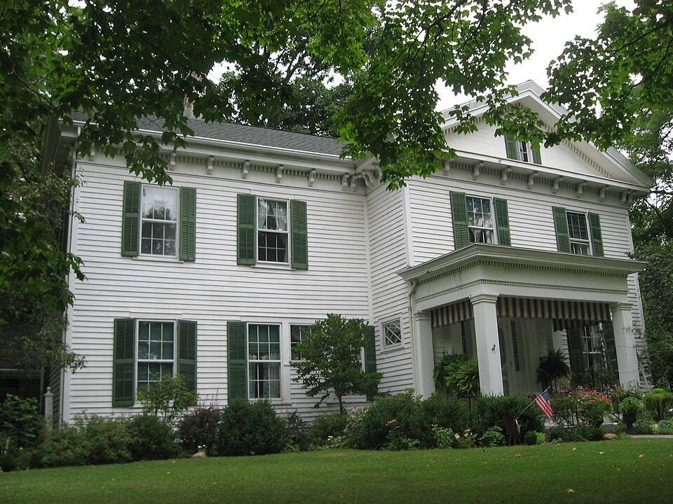
National Register reference number.90002214- the number the National Park Service assigned this property when it was listed, and the key its nomination file is catalogued under at the National Archives.
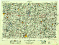
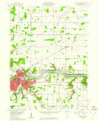
Then and now
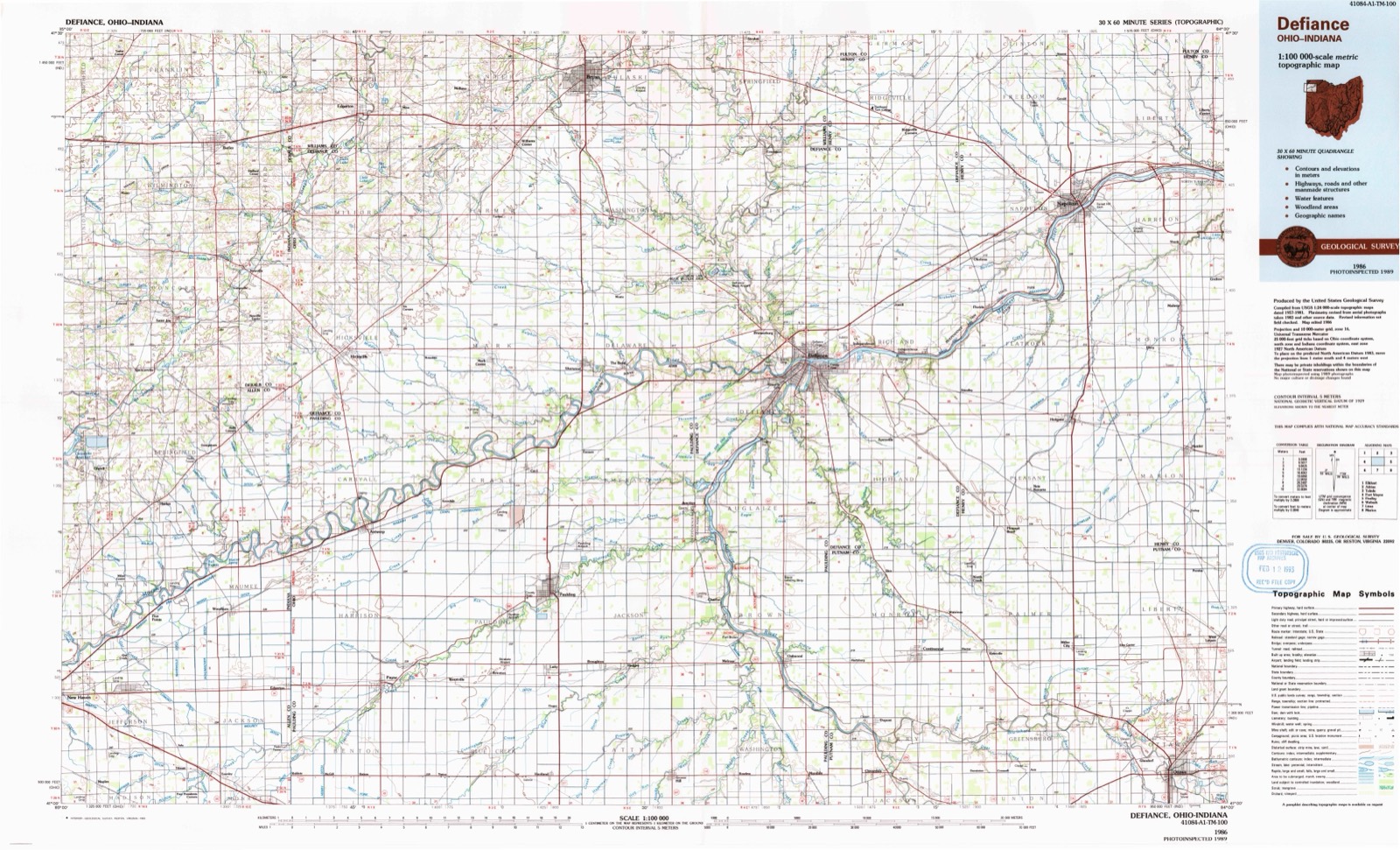
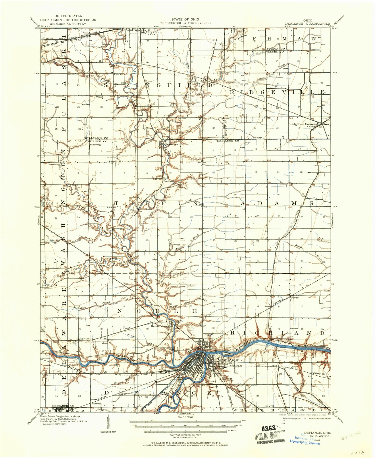
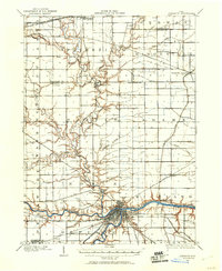
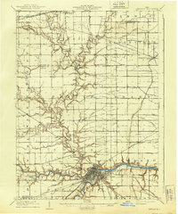
1907 to 1986
The ground this property stands on, surveyed
79 years apart. Drag the handle to wipe between them. Both sheets are
United States Geological Survey originals; neither has been altered.
19071986
The ground it stands on
75,327 words
The chapter on Defiance Township in History of Defiance County, Ohio, published 1883 names Defiance. This is what it says, exactly as the scans read.
EFIANCE was laid out in November, 1822, by Benjamin Leavell, of Piqua, and Horatio G. Phillips, of Dayton. The plat was acknowledged April 18, 1823, and reeorded April 28, 18238, by Thomas R.MeKnight, Recorder of Wood County. The original plat embraced 150 lots, and was located at the confluence of the Maumee and Auglaize, with Jackson street on the west and Fourth street on the south. The square in which the court house now stands was reserved by the proprietors to be laid out into town lots, unless the town became a county seat, "and forever continue to be," when it was to be used for public buildings. 'The " Old Fort Grounds" was a public donation on the same condition. The square between Jackson and* Perry streets, and south of Fourth was a donation for a Methodist Church and burying-ground, and the square betweeu Washington street and the Auglaize River, and south of Fourth, for a Presbyterian Church. H. G. Phillips, one of the proprietors, never resided at Defiance. He was a son of a Revolutionary officer, and one of the earliest settlers of Dayton, Ohio, an extensive land-holder and & man of unblemished character. He died at his home in Dayton, November 10, 1859. Benjamin Leavell became a resident of Defiance, and wus its first innkeeper; he also kept the first store to supply white settlers. The store was located on the banks of the Maumee, at the foot of Jefferson street. His dwelliny, the first frame building in the village, was a one and a half story, erected in December, 1822, on the northwest corner of Water and Jefferson streets opposite the fort grounds. The lumber for it was sawed at the Brunersburg Mill, which had been built the winter previous. : Mr. Leavell's residence is still standing. In a few years, he sold his interest in the town to Curtis Holgate, of Utica, N. Y., and returned
Defiance was, before Gen. Wayne's time, and for some time after, a place for Indian consultations and payments, and was to them a place of great importance. It washeld by the British down nearly to the war of 1812, and it was here that they made much mischief by tampering with the semi-hostile tribes. It is stated that at one of the Indian gatherings, about 1810, as many as fifty traders were here, hav-
Regional context, not property-specific
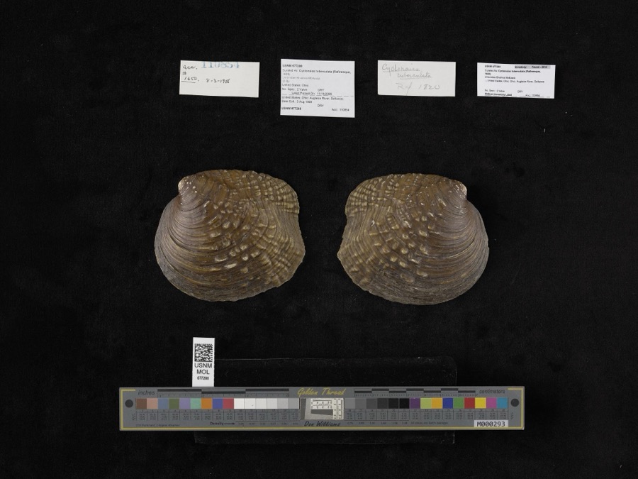
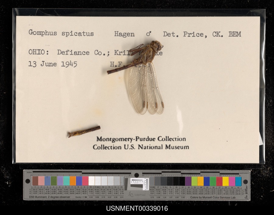
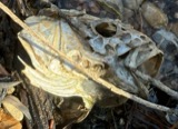
evidence. Museums hold 394 specimens
collected within 10 miles of Judge Alexander Latty House between 1858 and 1974: 381 Animalia, 9 Plantae, 4 Fungi.
12 distinct Species records are shown.
Collected by Angle, E. (Eric) & Trautman, M. B. (Milton Bernard), Angle, E. (Eric), Trautman, M. B. (Milton Bernard) & Hoschak, J. (John), Athearn, Herbert D. and others. Each is a
physical object with a catalogue
number, and each entry opens the museum's record. This is what was
collected and kept, not a survey of what lives here - nothing can be
concluded from a species being absent.
Regional context, not property-specific
evidence. The federal mineral resources record lists
1 working within 5 miles of Judge Alexander Latty House: 1 unknown.
None of them still produces. What was taken out: Iron. Distance is straight-line from the
map coordinates, so a quarry counted here may appear on a neighbouring
settlement's page as well.
Regional context, not property-specific
evidence. The National Weather Service names
Defiance, the town this property stands in, in 53 storm reports between 1994 and 2026: 37 thunderstorm wind, 15 hail, 1 flash flood.
No death or injury is recorded in these reports. Each account below is quoted exactly as the forecast office
filed it, from the NOAA Storm Events Database, and each date
opens the federal record of that event.
Emergency management officials reported several large trees were either uprooted or snapped in the city of Defiance. One of these trees fell onto a house on Washington Street, reportedly destroying the house. Another tree fell onto at least two parked car on Jefferson Avenue. No injuries were reported. Damage is estimated at $125,000.
A narrow band of thunderstorms continuously regenerated over parts of Defiance county during the morning. Estimates of 8 to 10 inches of rain fell in a 3 hour period. Emergency management reported flash flooding was most serious around Sherwood where roads were closed with 3 to 4 feet of water along Ohio Route 18 in and around Sherwood. Nearly 30 businesses and homes had some water into the first floor.
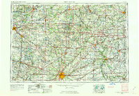
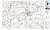
United States Geological Survey topographic
sheets whose coverage includes this point. Matched by taking the coordinate the National Park Service records for this property, then
testing that coordinate against the published boundary of every sheet.
When this property was proposed for the
National Register, someone wrote the case for it: what the building is,
and why it matters. That document is a federal record in the public domain.
It is quoted below word for word, never summarised. The text was read off the scanned case file by machine, so the
occasional stray character is the recogniser's and the 1970s
typewriter's.
Statement of significance
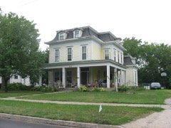
Of local significance, the Alexander Latty house is nominated under the National Register Criteria B and C. Under Criteria B, the house is significant as the home of Alexander C, the Latty house is significant as the best remaining example of Greek Revival Architec- to find him and retrieve some of the money, Latty followed his trail across Lake Erie and down the Miami & Erie Canal. Failing to find him and needing-money, Latty went to work for the Miami & Erie Canal. He settled in Charloe, a village located twelve miles south of Defiance, Ohio on the Auglaize River. During this time he studied law, passed After the death of his first wife, heremarried and moved to Definace. In 1875, shortly before he retired from the Third District bench, Judge Latty founded its failure a few years later.
Defiance Free Library Association, he donated both books and money as a way of L See continuation sheet 1861-1895 Architecture Unknown HISTORICAL BACKGROUND of this nomination. ture in Defiance.
Significant Person Law Applicable National Register Criteria Significant Dates Period of Significance same year he organized the Defiance Gas Works.He served as the company's president until Areas of Significance (enter categories from instructions) the National Bank of Definace and served as a member of its board of directors.That Architect/Builder Cultural Affiliation Judge Alexander Latty Judge Latty became involved in many.phases of life in Defiance.As a member of The [X locally State significance of property, and justify criteria, criteria considerations, and areas and periods of significance noted above. Latty, Judge of the Third District of Ohio, business man and civil/leader.
Under Criteria man living in New York state, Latty went into partnership in the fur business -- trapping and trading -- with another young man. the bar, married, and moved to Paulding, Ohio.
Quoted from the National Register nomination
for reference 90002214, 60 pages, held by the National Archives in Record
Group 79. See the
catalogue record.
Listed places nearby
6 within 8 miles
Other National Register properties close
enough to walk or drive between, ordered by distance from this one. Both
positions come from the same geocoding pass that matched these properties
to their map sheets.
Listing record. National Park Service National Register of Historic Places, listed-properties dataset, current to 2026-05-22.
Map join. Address geocoded through the United States Census geocoder, then tested against the published boundary of every sheet in the USGS Historical Topographic Map Collection.
How this page is made. Listing fields come from federal records; map-sheet coverage is a labelled coordinate-to-boundary calculation, not a source-field claim.
Specimens. Global Biodiversity Information Facility (GBIF), https://www.gbif.org/. Only records licensed CC0 or CC BY are used. Records licensed CC BY-NC are excluded because this site carries advertising. Images are checked individually and any whose licence is non-commercial, no-derivatives or unreadable is refused.
Mines and quarries. USGS Mineral Resources Data System (MRDS) https://mrdata.usgs.gov/mrds/ A work of the United States government, no copyright under 17 U.S.C. 105.
Storms. NOAA National Centers for Environmental Information, Storm Events Database https://www.ncei.noaa.gov/stormevents/ A work of the United States government, no copyright under 17 U.S.C. 105. Narratives are quoted verbatim from the National Weather Service report and are not edited or summarised.
 Block