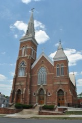
Listed on the National Register of Historic Places in
1976. A historic map-sheet match is not published yet. The record needs a coordinate-quality review before it can be joined to a sheet boundary.
From the record
one of 29 National Register listings in Fairfield County · listed in 1976 · category: Building · one of 1 National Historic Landmarks in Fairfield County.
National Register reference number.76001422- the number the National Park Service assigned this property when it was listed, and the key its nomination file is catalogued under at the National Archives.
Fires near this property
11 since 2012
Regional context, not property-specific
evidence. The
federal wildfire occurrence database
lists 11 fires within 5 miles of Tallmadge-Mithoff House between
2012 and 2020, burning about 17 acres in total. None started naturally. None was recorded as arson.
Distance is straight-line from the map coordinates, so a fire counted
here may appear on a neighbouring settlement's page as well.
Reported cause
Fires
Debris and open burning
7
Missing data/not specified/undetermined
2
Power generation/transmission/distribution
1
Fireworks
1
The most recent of
them, most recent first, with the day each was reported and the service
that recorded it.
Regional context, not property-specific
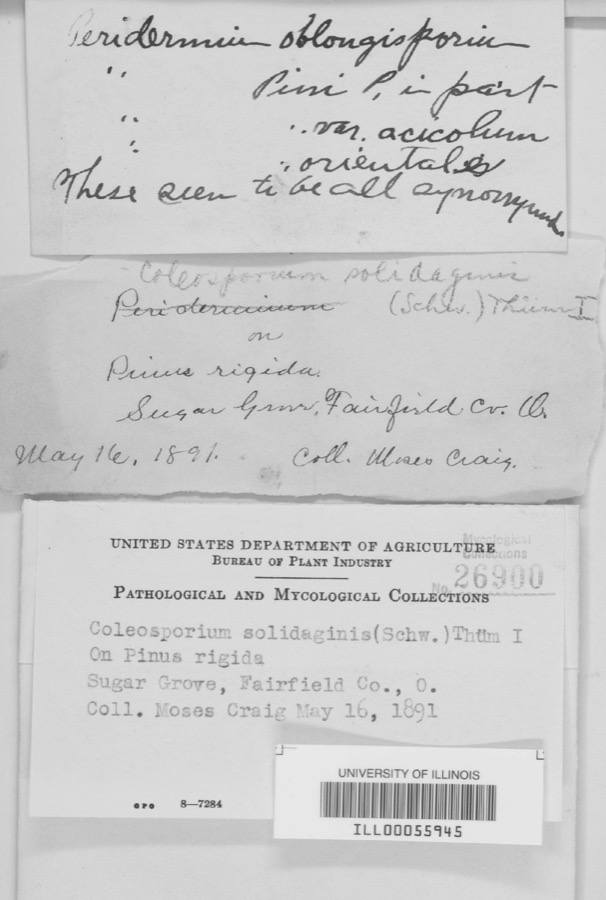
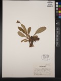
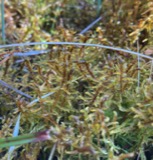
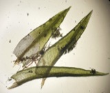
evidence. Museums hold 2,629 specimens
collected within 10 miles of Tallmadge-Mithoff House between 1839 and
1975: 1,850 Animalia, 526 Fungi, 238 Plantae, 7 Protozoa, 6 Unrecorded, 2 Chromista. 12 distinct Species records are shown.
Collected by A. Schrader, Angerman, C. (Carl) & Triplehorn, C. A. (Charles A.), Asa Gray; W. S. Sullivant and others. Each is a
physical object with a catalogue
number, and each entry opens the museum's record. This is what was
collected and kept, not a survey of what lives here - nothing can be
concluded from a species being absent.
Regional context, not property-specific
evidence. The federal mineral resources record lists
11 workings within 5 miles of Tallmadge-Mithoff House: 6 past producers, 5 producers.
5 still produce. What was taken out: Sand and Gravel, Construction. Distance is straight-line from the
map coordinates, so a quarry counted here may appear on a neighbouring
settlement's page as well.
Regional context, not property-specific
evidence. The National Weather Service names
Lancaster, the town this property stands in, in 97 storm reports between 1994 and 2026: 48 thunderstorm wind, 32 hail, 9 flash flood, 4 flood.
The reports record 1 injury. Each account below is quoted exactly as the forecast office
filed it, from the NOAA Storm Events Database, and each date
opens the federal record of that event.
Flash flooding along Fetters Run near College Avenue caused damage to the roadway, as well as significant damage to the Lancaster Festival stages, equipment, and vehicles.
Multiple water rescues occurred in the apartment complex along Sater Drive where water was over three feet deep. Additionally, over 30 vehicles were flooded in deep water.
Multiple swift water rescues were needed for animals trapped inside of a building submerged with three to four feet of water on Granville Pike. The building backs up to Fetters Run stream.
Numerous trees and power lines were blown down across the eastern part of the county. There was minor damage to siding and gutters on a few homes on Betz Road, to the west of Lancaster.
A ground survey with assistance form the Fairfield County EMA confirmed a brief and weak tornado touched down in the southwest part of Lancaster.||The survey revealed an eyewitness report of a very weak tornado on the ground near a residence at the west end of Mount Ida Avenue in Lancaster. No damage occurred at this residence. From there the weak tornado moved east through a wheat field with a narrow path of flattened wheat in a convergent pattern. From there the tornado moved between Tarhe Street and Twin Creek Way where minor tree damage occurred, including a couple of uprooted trees and snapped limbs. The tornado appears to have lifted as it approached south Broad Street.
6 papers published in this town,
digitised by the Library of Congress and free to read: 0 issues,
0 pages. Every page is searchable, so a name or a street can be
looked for directly in what the town printed about itself at the time.
No historic map-sheet match is published
for this property yet. That does not mean no map exists. This record needs
a coordinate-quality review before it can be joined to a sheet boundary.
Browse the county's mapped places while that work is
pending.
Named in the fire insurance atlases
Sanborn surveyors printed an index of the
town's establishments at the front of each atlas. This property is named in
one, read straight off the scanned sheet.
When this property was proposed for the
National Register, someone wrote the case for it: what the building is,
and why it matters. That document is a federal record in the public domain.
It is quoted below word for word, never summarised. The text was read off the scanned case file by machine, so the
occasional stray character is the recogniser's and the 1970s
typewriter's.
Description of the property
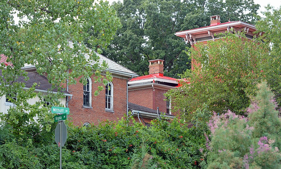
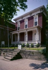
two story brick cottage, bracketed and ornamented in the Italian Villa manner, and bedroom. Pairs of brackets, matching those of the office, were installed under the cottage, but the brackets of the tower roofline were more Italian in feeling. The The addition created a generous hall with bold woodwork and a graceful stairway a doorway led to the 1849 entrance hall with its cupboards and through it right. All windows, except those on the second floor of the office, are round of the cottage has a one-story, lattice enclosed, veranda.
These are the two 1836 CONDITION UNALTERED XEXCELLENT DETERIORATED CHECK ONE now a library with the finest woodwork in the house and to the right a drawing The Tallmadge Mithoff house was originally two structures in 1836;a four room, story portion and a one-story veranda were added north of the entry creating a sprawling farmhouse.Windows matched those of the original cottage.A wooden eaves of the addition. interior was completely remodeled at this time...an office door was moved from the paired brackets at the roofline.The interiors were simple except for the finely room (l849 addition) opened onto the gardens with its french windows and veranda. paneled doors and rich woodwork in the office. four large bedrooms and beneath the tower was a small bedroom for a houseservant.
Convention, he delivered a convincing speech nominating William Henry Harrison as X1800-1899 ARCHEOLOGY-HISTORIC PHILOSOPHY INVENTION ART POLITICS/GOVERNMENT COMMUNICATIONS SCIENCE PERIOD SCULPTURE 1900- _ENGINEERING _EXPLORATION/SETTLEMENT THEATER PREHISTORIC TRANSPORTATION AGRICULTURE SIGNIFICANCE _ECONOMICS LITERATURE _CONSERVATION and an outstanding citizen.
The land comprising the farm upon which the Tallmadge-Mithoff house was built was sold MUSIC various interpretations throughout the county.Its history is also closely tied His design incorporated an underground tunnel from the barn to the cellar so that Black this structure had windows in the first story identical to those in the house, but story the windows in the original cottage were reproduced;a Gothic window from the INDUSTRY _1400-1499 SOCIAL/HUMANITARIAN tended from the balcony above the one-story entry to a door installed in the second story Italian style of building' which was becoming popular in the East and was a favorite of architect Alexander Jackson Davis.
His cottage was modest, severely rectangular, _RELIGION The farm was divided into five lots and the property with the house was sold to Daniel of the office.Pairs of brackets were installed under the eaves of the addition. wealthy and prominent citizens. office was installed in the south wall of the new bedroom and a wooden bridge was ex- Presidential candidate.Other causes included temperance and abolition.In 1836 but nonetheless, Italian in style, unknown and very modern for the central Ohio area. The Tallmadge-Mithoff house is a particularly fine example of the Italian Villa style was Speaker of the House.He was a powerful orator and in 1839,at the Whig National _1500-1599 in central Ohio for many years -its front doorway and its windows were copied in and his two elder sons, John M.
Quoted from the National Register nomination
for reference 76001422, 26 pages, held by the National Archives in Record
Group 79. See the
catalogue record.
Listed places nearby
6 within 8 miles
Other National Register properties close
enough to walk or drive between, ordered by distance from this one. Both
positions come from the same geocoding pass that matched these properties
to their map sheets.
Listing record. National Park Service National Register of Historic Places, listed-properties dataset, current to 2026-05-22.
Map join. Address geocoded through the United States Census geocoder, then tested against the published boundary of every sheet in the USGS Historical Topographic Map Collection.
How this page is made. Listing fields come from federal records; map-sheet coverage is a labelled coordinate-to-boundary calculation, not a source-field claim.
Wildfire. Short, Karen C. 2022. Spatial wildfire occurrence data for the United States, 1992-2020 [FPA_FOD_20221014]. 6th Edition. Fort Collins, CO: Forest Service Research Data Archive. https://doi.org/10.2737/RDS-2013-0009.6 Collected with United States Government funding and usable without additional permissions or fees.
Specimens. Global Biodiversity Information Facility (GBIF), https://www.gbif.org/. Only records licensed CC0 or CC BY are used. Records licensed CC BY-NC are excluded because this site carries advertising. Images are checked individually and any whose licence is non-commercial, no-derivatives or unreadable is refused.
Mines and quarries. USGS Mineral Resources Data System (MRDS) https://mrdata.usgs.gov/mrds/ A work of the United States government, no copyright under 17 U.S.C. 105.
Storms. NOAA National Centers for Environmental Information, Storm Events Database https://www.ncei.noaa.gov/stormevents/ A work of the United States government, no copyright under 17 U.S.C. 105. Narratives are quoted verbatim from the National Weather Service report and are not edited or summarised.
 Block
Block