Listed on the National Register of Historic Places in
1979. A historic map-sheet match is not published yet. The record needs a coordinate-quality review before it can be joined to a sheet boundary.
From the record
one of 29 National Register listings in Fairfield County · listed in 1979 · category: District · one of 1 National Historic Landmarks in Fairfield County.
National Register reference number.79001830- the number the National Park Service assigned this property when it was listed, and the key its nomination file is catalogued under at the National Archives.
Fires near this property
9 since 2012
Regional context, not property-specific
evidence. The
federal wildfire occurrence database
lists 9 fires within 5 miles of Lancaster West Main Street Historic District between
2012 and 2020, burning about 12 acres in total. None started naturally. None was recorded as arson.
Distance is straight-line from the map coordinates, so a fire counted
here may appear on a neighbouring settlement's page as well.
Reported cause
Fires
Debris and open burning
6
Missing data/not specified/undetermined
1
Power generation/transmission/distribution
1
Fireworks
1
The most recent of
them, most recent first, with the day each was reported and the service
that recorded it.
Regional context, not property-specific
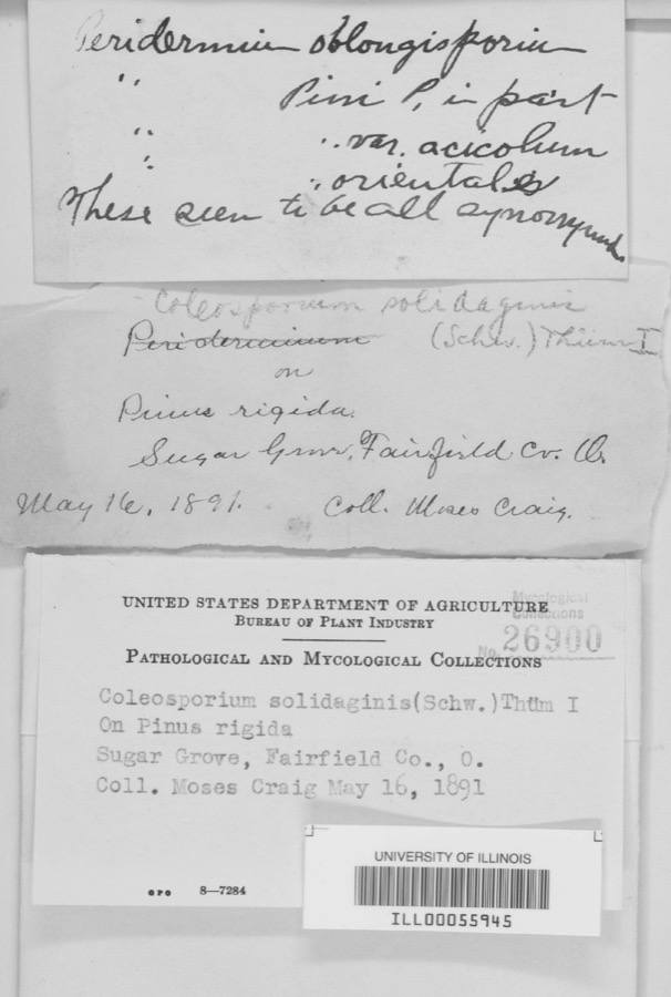
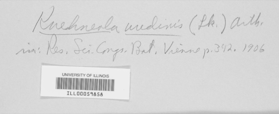
evidence. Museums hold 2,665 specimens
collected within 10 miles of Lancaster West Main Street Historic District between 1839 and
1975: 1,883 Animalia, 528 Fungi, 239 Plantae, 7 Protozoa, 6 Unrecorded, 2 Chromista. 12 distinct Species records are shown.
Collected by A. Schrader, Angerman, C. (Carl) & Triplehorn, C. A. (Charles A.), Asa Gray; W. S. Sullivant and others. Each is a
physical object with a catalogue
number, and each entry opens the museum's record. This is what was
collected and kept, not a survey of what lives here - nothing can be
concluded from a species being absent.
Regional context, not property-specific
evidence. The federal mineral resources record lists
9 workings within 5 miles of Lancaster West Main Street Historic District: 5 past producers, 4 producers.
4 still produce. What was taken out: Sand and Gravel, Construction. Distance is straight-line from the
map coordinates, so a quarry counted here may appear on a neighbouring
settlement's page as well.
Regional context, not property-specific
evidence. The National Weather Service names
Lancaster, the town this property stands in, in 97 storm reports between 1994 and 2026: 48 thunderstorm wind, 32 hail, 9 flash flood, 4 flood.
The reports record 1 injury. Each account below is quoted exactly as the forecast office
filed it, from the NOAA Storm Events Database, and each date
opens the federal record of that event.
Flash flooding along Fetters Run near College Avenue caused damage to the roadway, as well as significant damage to the Lancaster Festival stages, equipment, and vehicles.
Multiple water rescues occurred in the apartment complex along Sater Drive where water was over three feet deep. Additionally, over 30 vehicles were flooded in deep water.
Multiple swift water rescues were needed for animals trapped inside of a building submerged with three to four feet of water on Granville Pike. The building backs up to Fetters Run stream.
Numerous trees and power lines were blown down across the eastern part of the county. There was minor damage to siding and gutters on a few homes on Betz Road, to the west of Lancaster.
A ground survey with assistance form the Fairfield County EMA confirmed a brief and weak tornado touched down in the southwest part of Lancaster.||The survey revealed an eyewitness report of a very weak tornado on the ground near a residence at the west end of Mount Ida Avenue in Lancaster. No damage occurred at this residence. From there the weak tornado moved east through a wheat field with a narrow path of flattened wheat in a convergent pattern. From there the tornado moved between Tarhe Street and Twin Creek Way where minor tree damage occurred, including a couple of uprooted trees and snapped limbs. The tornado appears to have lifted as it approached south Broad Street.
6 papers published in this town,
digitised by the Library of Congress and free to read: 0 issues,
0 pages. Every page is searchable, so a name or a street can be
looked for directly in what the town printed about itself at the time.
No historic map-sheet match is published
for this property yet. That does not mean no map exists. This record needs
a coordinate-quality review before it can be joined to a sheet boundary.
Browse the county's mapped places while that work is
pending.
Named in the fire insurance atlases
Sanborn surveyors printed an index of the
town's establishments at the front of each atlas. This property is named in
one, read straight off the scanned sheet.
When this property was proposed for the
National Register, someone wrote the case for it: what the building is,
and why it matters. That document is a federal record in the public domain.
It is quoted below word for word, never summarised. The text was read off the scanned case file by machine, so the
occasional stray character is the recogniser's and the 1970s
typewriter's.
Description of the property
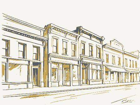
in brick, rise 3-4 stories in height, have uniform setbacks and architectural details intact on the 141 W. Main Street (Lyric Theater) 145 W. Main Street (Harrison's Clothing) 147 W. Main Street (The City Loan) 149 W. Main Street (Cochran Pharmacy) CONDITION UNEXPOSED DATE EXCELLENT RUINS MOVED center block with flanking one story wings. The roofline is stepped, the lines rectilinear and the CHECK ONE DESCRIPTION The West Main Street Historic District consists of a black long section of the Lancaster commercial interesting Main Street facades. District, which is listed in the National Register of Historic Places.
and separated by pilasters, spandrals between the second and third stories, deoorative lintels and _UNALTERED Built C.1880, this highly decorative commercial building features windows placed within recesses represented range from early nineteenth century Federal to twentieth century Art Deco.The area Second Empire style.The round arched windows are embellished with hoodmoulds and pendants, the This commercial building which was constructed during the 1880's exhibits characteristics of the decorative work polychromatic.The Lyric is the last operating theater in downtown Lancaster. Ornamental features include the stone quoins, round and segmental arched opemings with smooth brick laid in Flemish bond, and features stone lintels with corner blocks and a simple cornice.
One of the few surviving Federal commercial structures in Lancaster, this building is constructed of is nearly intact and only one building lot is vacant.In general the buildings are constructed curved stone hoodmoulds, a triple window in the middle bay of the second and third levels of the XGOOD cornice is bracketed and round arched dormers rise out of the mansard roof. It was recently rehabilitated. Following is a sampling of the various types of commercial buildings included in the district.
West Main Street in Lancaster has been the center of commercial activity for the town since the early nineteenth century and remains so today. Architecturally, West Main Street intersection of the major north-south and east-west streets were set aside for a public square. Lancaster was a prosperous town, as it was serviced by a cana#tseveral railroads. The commercial area changed dramatically between 1860 and 1890. By the late nineteenth century, with few exceptions the early Federal commercial buildings were replaced with buildings in the Italianate, Second Empire and Romanesque Revival Styles which were then populdr. West Main Street revitalization of the care of the central business district.
1500-1599 ARCHEOLOGY-HISTORIC SIGNIFICANCE EDUCATION POLITICS/GOVERNMENT INVENTION BUILDER/ARCHITECT RELIGION PERIOD EXPLORATION/SETTLEMENT SCULPTURE THEATER SCIENCE AGRICULTURE INDUSTRY TRANSPORTATION XARCHITECTURE ART _COMMUNICATIONS The City of Lancaster has recognized the importance of this area and an historic district ordinance Public Square are green spaces one with a large ornate fountain while the handsome Richardsonian _PHILOSOPHY elaborate cornices. The buildings included in the district range in age from 1830 -_1930. The s is being prepared.Individual efforts are also underway to encourage the preservation and appears today much as it did in a photograph around the turn of the century. The storefronts represents a nearly intact nineteenth and early twentieth century townscape.
Romanesque City Hall occupies the fourth lot. The square forms the eastern edge of the district.
Quoted from the National Register nomination
for reference 79001830, 62 pages, held by the National Archives in Record
Group 79. See the
catalogue record.
Listed places nearby
6 within 8 miles
Other National Register properties close
enough to walk or drive between, ordered by distance from this one. Both
positions come from the same geocoding pass that matched these properties
to their map sheets.
Listing record. National Park Service National Register of Historic Places, listed-properties dataset, current to 2026-05-22.
Map join. Address geocoded through the United States Census geocoder, then tested against the published boundary of every sheet in the USGS Historical Topographic Map Collection.
How this page is made. Listing fields come from federal records; map-sheet coverage is a labelled coordinate-to-boundary calculation, not a source-field claim.
Wildfire. Short, Karen C. 2022. Spatial wildfire occurrence data for the United States, 1992-2020 [FPA_FOD_20221014]. 6th Edition. Fort Collins, CO: Forest Service Research Data Archive. https://doi.org/10.2737/RDS-2013-0009.6 Collected with United States Government funding and usable without additional permissions or fees.
Specimens. Global Biodiversity Information Facility (GBIF), https://www.gbif.org/. Only records licensed CC0 or CC BY are used. Records licensed CC BY-NC are excluded because this site carries advertising. Images are checked individually and any whose licence is non-commercial, no-derivatives or unreadable is refused.
Mines and quarries. USGS Mineral Resources Data System (MRDS) https://mrdata.usgs.gov/mrds/ A work of the United States government, no copyright under 17 U.S.C. 105.
Storms. NOAA National Centers for Environmental Information, Storm Events Database https://www.ncei.noaa.gov/stormevents/ A work of the United States government, no copyright under 17 U.S.C. 105. Narratives are quoted verbatim from the National Weather Service report and are not edited or summarised.
 Block
Block