Listed on the National Register of Historic Places in
1976. A historic map-sheet match is not published yet. The record needs a coordinate-quality review before it can be joined to a sheet boundary.
From the record
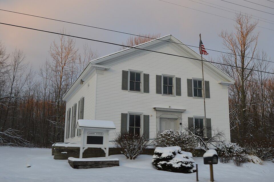
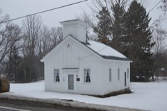
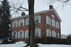
“The Auburn Free Will Baptist Church is a historic former Baptist church building in Auburn Township, Geauga County, Ohio, United States. Constructed in the second quarter of the nineteenth century, it is no longer home to the congregation that built it, but it remains a significant component of the area's built environment, and it has been named a historic site.”
Wikipedia article Free Will Baptist Church of Auburn, CC BY-SA 4.0.
one of 11 National Register listings in Geauga County · listed in 1976 · category: Building.
National Register reference number.76001430- the number the National Park Service assigned this property when it was listed, and the key its nomination file is catalogued under at the National Archives.
Oliver W. Ludlow, son of Francis Ludlow, was born in Seneca, Cayuga county, New York, in 1800, and moved with his parents to Westfield, New York, in 1807. At the age of nineteen, with a few shillings in his pocket, he started on foot for Painesville, Ohio, and there engaged in teaching. In 1822 he went to Burton, Ohio, where, he taught school with good success until 1824, where he commenced the study of medicine with Dr. Goodwin. In 1825 he went to Chardon, Ohio, where he continued his medical studies with Dr. Denton; also taught school there with much credit to himself. In 1827 he married Miss Harriet Metcalf, of that place. They had eight children - Maria A., Linaeus C., Benjamin F., Washington I., Lycurgus, Louisa M., Harriet E. and Oliver E. In the fall of 1829 he went to New York to attend the New York Medical college; during the winter of 1830 he went to Geneva and taught school in order to defray his expenses through college. August 17, 1830, he received his diploma from the New York Medical academy. That fall he returned to Chardon and moved his family to Newbury, Ohio. In 1831 he began the practice of medicine in that and surrounding townships. In 1838 he moved to Auburn corners, where he practiced medicine until his death, which occurred in 1865. He died very suddenly, after having visited several patients on the day of his death. The cause of his death was a rupture of the left ventricle of the heart. Dr. Ludlow, during the last thirty years of his life, was not a religious man, in the ordinary sense; he believed in humanity, a common brotherhood and friendship for the stranger; he believed in less creeds and formalities, and in mere acts of benevolence, and bis life was a testimony of the sincerity of his belief. He was very benevolent, often taking provision and clothing from his own home to supply the wants of the poor, and in several cases has given doctor's bills as high as sixty dollars, and furnished money to move poor families to western lands. Deeply interested in education, he was ever stirring to introduce modern improvements into the common schools, and when people were so indifferent to new books, he was often heard to say, "that he was one hundred years in advance of his time." Astronomy was a favorite study of his, and he lectured on that subject several years. As a physician, he was very successful. His prAfessional labors were very arduous, seldom a day passing without finding him giving faithful attendance to the duties of his profession. A close student, when not on duty he was absorbed in study. Literally, he gave his life to humanity, and totally ignored self. The community mourned his loss, and, in testimoney of their respect, erected a monument to his memory, in the cemetery at Auburn Corners. Mrs. Ludlow, wife of the Doctor, was one of the best of women, and was highly respected by every one that knew her. She survived him a number of years, and, after a lingering disease of cancer in the stomach, death came to her relief. She died in 1870.
Regional context, not property-specific
evidence. The
federal wildfire occurrence database
lists 1 fire within 5 miles of Free Will Baptist Church Of Auburn between
2020 and 2020, burning about 3 acres in total. None started naturally. None was recorded as arson.
Distance is straight-line from the map coordinates, so a fire counted
here may appear on a neighbouring settlement's page as well.
Reported cause
Fires
Debris and open burning
1
The most recent of
them, most recent first, with the day each was reported and the service
that recorded it.
Regional context, not property-specific
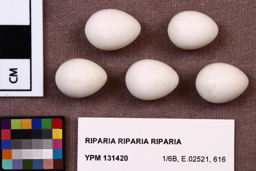
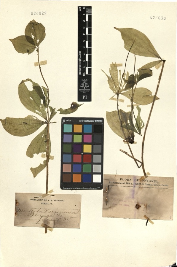
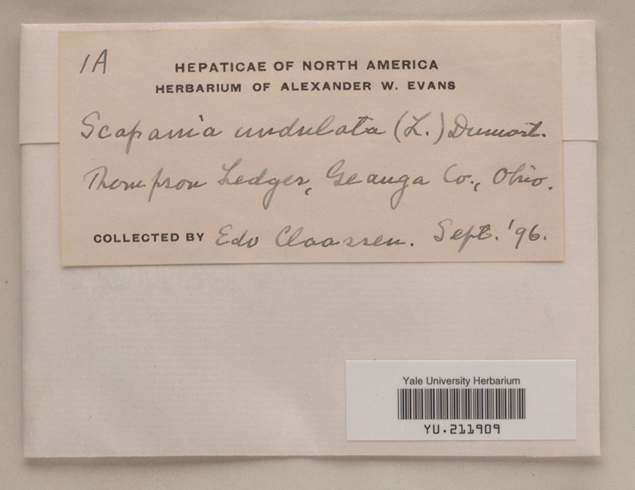
evidence. Museums hold 871 specimens
collected within 10 miles of Free Will Baptist Church Of Auburn between 1887 and
1975: 762 Animalia, 103 Plantae, 6 Fungi. 12 distinct Species records are shown.
Collected by A. Hoenigman, A. M. Evans, A. Woolman and others. Each is a
physical object with a catalogue
number, and each entry opens the museum's record. This is what was
collected and kept, not a survey of what lives here - nothing can be
concluded from a species being absent.
Regional context, not property-specific
evidence. The federal mineral resources record lists
3 workings within 5 miles of Free Will Baptist Church Of Auburn: 3 producers.
All of them still produce. What was taken out: Sand and Gravel, Construction. Distance is straight-line from the
map coordinates, so a quarry counted here may appear on a neighbouring
settlement's page as well.
Regional context, not property-specific
evidence. The National Weather Service names
Auburn Corners, the town this property stands in, in 3 storm reports between 1998 and 2014: 2 thunderstorm wind, 1 hail.
No death or injury is recorded in these reports. Each account below is quoted exactly as the forecast office
filed it, from the NOAA Storm Events Database, and each date
opens the federal record of that event.
No historic map-sheet match is published
for this property yet. That does not mean no map exists. This record needs
a coordinate-quality review before it can be joined to a sheet boundary.
Browse the county's mapped places while that work is
pending.
Named in the fire insurance atlases
Sanborn surveyors printed an index of the
town's establishments at the front of each atlas. This property is named in
one, read straight off the scanned sheet.
When this property was proposed for the
National Register, someone wrote the case for it: what the building is,
and why it matters. That document is a federal record in the public domain.
It is quoted below word for word, never summarised. The text was read off the scanned case file by machine, so the
occasional stray character is the recogniser's and the 1970s
typewriter's.
Description of the property
This is a wooden frame building, 36 by 47 feet in dimension, in On the interior, there is a vestibule with a gallery above. The 1947. By 1974 some of the main floor joists had given way, and movement was begun, and the floor structure has been completely CONDITION UNEXPOSED DESCRIPTION DETERIORATED FAIR under way. UNALTERED XALTERED GOOD with a flattened semi-elliptical arch recessed in the architrave board. geographical location. parallel to the ceiling, there is additional diagonal bracing. According gallery opening into the main hall has two posts with an unusually ceiling are plastered.The roof structure is supported by a series to the consulting architect of the Western Reserve Historical Society, the center of the floor had collapsed.
A local private preservation narrow, plain frieze board.The doorway has a simple entablature the Greek Revival style.It stands on a sandstone foundation.The walls are sheathed with horizontal clapboard siding.There is a center door flanked by two windows on the first floor facade with three windows above.There are three tall windows on the side elevations. The roof vertical boards. At the same time wooden wainscoting was added to the side walls.The building was not used as a church after CHECK ONE repaired.The exterior of the building has also been repaired and pronounced entasis.The ceiling is eighteen feet high. Walls and In the latter part of the nineteenth century the chancel was remodeled with a platform with a serpentine front of dark oak of wooden trusses.
Between the trusses, in a horizontal plane is gabled, with a cornice return on the ends of the building, and a painted, and a restoration of the rest of the interior is now this type of construction is extremely unusual for its date and AREAS OF
Statement of significance
This is a good example of the typical small Greek Revival churches to be found throughout northeastern Ohio, but it is unusual an event which gives some insight into the religious conservatism of the period and locality. describing the unenlightened mentality of the members, and tacked 1500-1599 1400-1499 COMMERCE PERIOD ART TRANSPORTATION POLITICS/GOVERNMENT COMMUNICATIONS AGRICULTURE THEATER SCIENCE LAW PHILOSOPHY SIGNIFICANCE BUILDER/ARCHITECT MILITARY INDUSTRY LITERATURE RELIGION it to the church door. _EXPLORATION/SETTLEMENT MUSIC permission.
Dr.Ludlow penned a long satirical verse of protest, The church served its original purpose until the Second World that this use of the church would be sacrilegious, and refused _ENGINEERING _CONSERVATION Methodists, the Methodist pastor traveling five miles from Troy in Cleveland on the principle of the electric telegraph.He invited house. After some years of neglect, it is now being restored by _PREHISTORIC This building was under construction in 1840 and finished in 184l. -ECONOMICS because of the roof structure described.It was also the scene of The Free.Will Baptist Church was organized at Auburn in 1839. War,and in 1947 it was given to the Civic Club asa community In 1845 Dr.O.W.Ludlow heard Samuel F.B.Morse speak -1700-1799 _1600-1699 Township every two weeks.
-EDUCATION the township trustees and private initiative asa local museum. -1900- -COMMUNITY PLANNING Morse to lecture at the Auburn church. However, the people thought ARCHEOLOGY-PREHISTORIC - INVENTION
Quoted from the National Register nomination
for reference 76001430, 16 pages, held by the National Archives in Record
Group 79. See the
catalogue record.
Listed places nearby
3 within 8 miles
Other National Register properties close
enough to walk or drive between, ordered by distance from this one. Both
positions come from the same geocoding pass that matched these properties
to their map sheets.
Listing record. National Park Service National Register of Historic Places, listed-properties dataset, current to 2026-05-22.
Map join. Address geocoded through the United States Census geocoder, then tested against the published boundary of every sheet in the USGS Historical Topographic Map Collection.
How this page is made. Listing fields come from federal records; map-sheet coverage is a labelled coordinate-to-boundary calculation, not a source-field claim.
Wildfire. Short, Karen C. 2022. Spatial wildfire occurrence data for the United States, 1992-2020 [FPA_FOD_20221014]. 6th Edition. Fort Collins, CO: Forest Service Research Data Archive. https://doi.org/10.2737/RDS-2013-0009.6 Collected with United States Government funding and usable without additional permissions or fees.
Specimens. Global Biodiversity Information Facility (GBIF), https://www.gbif.org/. Only records licensed CC0 or CC BY are used. Records licensed CC BY-NC are excluded because this site carries advertising. Images are checked individually and any whose licence is non-commercial, no-derivatives or unreadable is refused.
Mines and quarries. USGS Mineral Resources Data System (MRDS) https://mrdata.usgs.gov/mrds/ A work of the United States government, no copyright under 17 U.S.C. 105.
Storms. NOAA National Centers for Environmental Information, Storm Events Database https://www.ncei.noaa.gov/stormevents/ A work of the United States government, no copyright under 17 U.S.C. 105. Narratives are quoted verbatim from the National Weather Service report and are not edited or summarised.
 Block
Block