Listed on the National Register of Historic Places in
1979. A historic map-sheet match is not published yet. The record needs a coordinate-quality review before it can be joined to a sheet boundary.
From the record
“For several years he served as justice of the peace. When the Western Reserve bank was started, he was one of the first subscribers to its stock, $12,000, in all, and was an influential director.”
Pioneer and General History of Geauga County, with Sketches of Some of the Pioneers and Prominent Men (1880). Machine-read text.
one of 11 National Register listings in Geauga County · listed in 1979 · category: Building.
National Register reference number.79001846- the number the National Park Service assigned this property when it was listed, and the key its nomination file is catalogued under at the National Archives.
What happened here
An account from the chapter on Burton township, The inset identifies its exact
source book and publication year.
The first was built by Augustus Rose and Lucius Chatfield, who began carriage making. This shop, at last wras used for a plaining mill. An explosion occurred June 15th, 1867, which threw the boiler over the tops of trees and 20 rods away, carrying with it the body of Hiram Carlton, who was killed. Lawrence Huff was so badly injured that he died.
Thus it is written of the clover-grown park and its town hall, of the villagers and their homes, of the public buildings and the places of trade, of the music and the ways, the people and the farms in and surrounding one of the most beautifully located villages in northern Ohio. Quiet and solid in its ways, this village of Burton, on the first day of August, 1878.
The first movement for a road to Burton began on Tuesday, the 5th of June. Mr. Law, and Mr. Beard, the surveyor, started a line from a point about three miles from the mouth of the river, where Mr. Skinner afterwards laid out the town of New Market, ahd where the old Skinner bridge was built. The next day, with Kirtland, Tomlinson, Pond, and Rice, they began cutting the road, and by Friday night, the 8th, were about Tour miles ahead, to a stream running eastward. On Monday night they encamped about eighty rods in No. 9 township, 8th range. The road came up what is now State street, in Paines vi lie, and kept easterly, through to what was afterwards Perkin's camp, one-half mile east of the "Old Log tavern" on the present road in Concord. On Tuesday they run more westerly, to avoid deep runs, and camped two and one-half miles ahead, on lot 2, township 9, 8th range. Working on the camp Wednesday, the 13th, was within one mile of township 8, 8th range, and B. Rice and Yale, who had been, with the boat and families of Edwards and Honey, up the lake to Cleveland, came to this, camp. On Friday the 15th, they arrived at No. 7, 7th range. Kirtland and Bond, having marked the road for the men and teams to come on, two miles, to the northwest corner of the township, went on to find a place for a tent and garden: making nine days that the first team and sled, with Mr. Umberville as driver, were on the road, the first trip ever made to Burton: an average, from Painesville, of two miles per day. Afterwards, the stages made the distance in one-third as many hours.
Regional context, not property-specific
evidence. The
federal wildfire occurrence database
lists 1 fire within 5 miles of Domestic Arts Hall And Flower Hall between
2019 and 2019, burning about 1 acres in total. None started naturally. None was recorded as arson.
Distance is straight-line from the map coordinates, so a fire counted
here may appear on a neighbouring settlement's page as well.
Reported cause
Fires
Missing data/not specified/undetermined
1
The most recent of
them, most recent first, with the day each was reported and the service
that recorded it.
Regional context, not property-specific
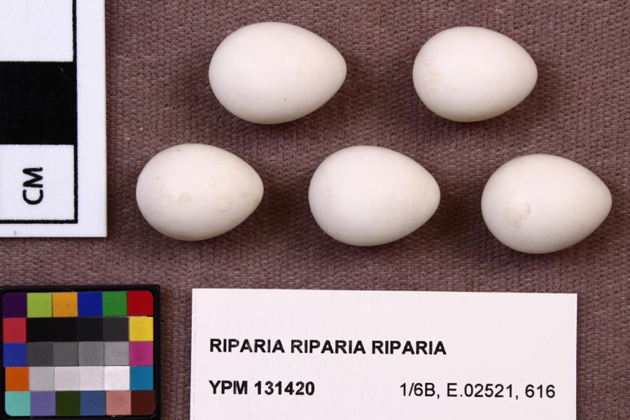
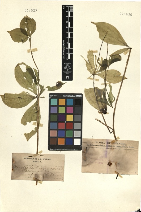
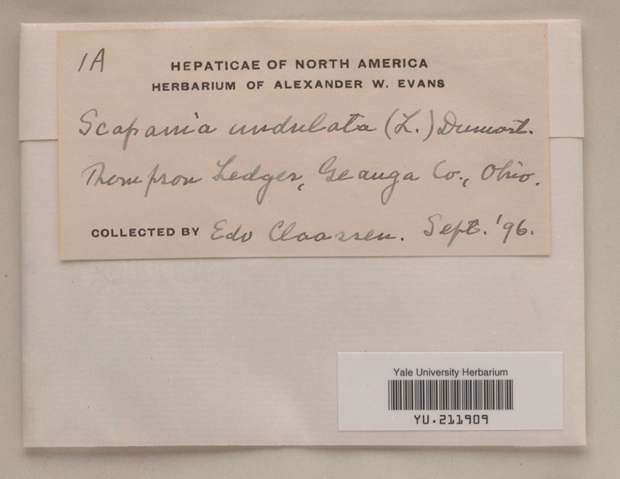
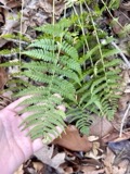
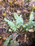
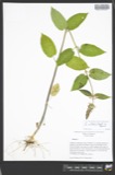
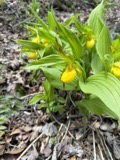
evidence. Museums hold 718 specimens
collected within 10 miles of Domestic Arts Hall And Flower Hall between 1887 and
1975: 607 Animalia, 104 Plantae, 7 Fungi. 12 distinct Species records are shown.
Collected by A. M. Evans, A. N. Rood, A.E. Daugherty and others. Each is a
physical object with a catalogue
number, and each entry opens the museum's record. This is what was
collected and kept, not a survey of what lives here - nothing can be
concluded from a species being absent.
Regional context, not property-specific
evidence. The federal mineral resources record lists
1 working within 5 miles of Domestic Arts Hall And Flower Hall: 1 producer.
All of them still produce. What was taken out: Sand and Gravel, Construction. Distance is straight-line from the
map coordinates, so a quarry counted here may appear on a neighbouring
settlement's page as well.
Regional context, not property-specific
evidence. The National Weather Service names
Burton, the town this property stands in, in 19 storm reports between 1996 and 2023: 13 thunderstorm wind, 5 hail, 1 flash flood.
No death or injury is recorded in these reports. Each account below is quoted exactly as the forecast office
filed it, from the NOAA Storm Events Database, and each date
opens the federal record of that event.
No historic map-sheet match is published
for this property yet. That does not mean no map exists. This record needs
a coordinate-quality review before it can be joined to a sheet boundary.
Browse the county's mapped places while that work is
pending.
From the nomination file
2,194 words on record
When this property was proposed for the
National Register, someone wrote the case for it: what the building is,
and why it matters. That document is a federal record in the public domain.
It is quoted below word for word, never summarised. The text was read off the scanned case file by machine, so the
occasional stray character is the recogniser's and the 1970s
typewriter's.
Description of the property
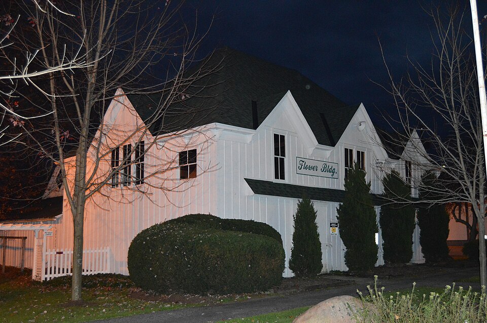
The hall to the north, or Domestic Arts Hall, measures 110 feet by 37 sides, forming a cruciform plan. At the intersection of the wings there On the interior, the studding and rafters are rough-sawed white pine The corner rafters are curved, but it has not been determined whether the north and south sides, which were originally windows but are CONDITION UNEXPOSED corner. DETERIORATED FAIR UNALTERED XEXCELLENT siding. rafters.The only alteration to the Domestic Arts Hall is the provision CHECK ONE the main hall.The walls are sheathed with vertical board and batten clerestory windows on each side of the tower and smaller windows in center pole extending from the ground to the very peak of the roof.
of the tower roof are ornamented with small brackets.There are three This is a group of two large exhibition halls of wood frame construction. same as that of the Domestic Arts Hall.The main roof is supported by 32-foot trusses with tension bolts acting as queen posts. roof.There are three dormers on the west end and once each on of toilet facilities in an added room with a shed roof at the southwest has a gable roof with two slopes.The west end has a steep hipped from the purlin plate to a point about five feet up on the corner Domestic Arts Hall and measures 80 feet by 48 feet.The east end and a full 2" by 6". The roof boards are 1" by 6" laid 2" apart, but The second building, or Flower Hall, stands 30 feet south of the they were sawed that way or were spliced.
There are angle braces RUINS The original roof was no doubt of wood shingles.
uous county fair in Ohio, and the local belief that it may be the oldest of a genre of buildings which is diminishing in Ohio. the Mississippi in the 1820s, based on the model of the Berkshire County Fair, Massachusetts, in 1810. The Geauga County Agricultural and second floor was used as a dance hall. The Domestic Arts Hall, approximately the same dimenions as the original hall and apparently a replacement or a rebuilding of it, appears year for the entertainment and instruction of the local farmers, the American agricultural history, and of State significance in Ohio.
1889-1890 1400-1499 1700-1799 ART ARCHEOLOGY-HISTORIC LAW ENGINEERING 1900- BUILDER/ARCHITECT PERIOD EXPLORATION/SETTLEMENT XARCHITECTURE TRANSPORTATION RELIGION EDUCATION THEATER ARCHEOLOGY-PREHISTORIC SIGNIFICANCE MILITARY XAGRICULTURE INVENTION _POLITICS/GOVERNMENT PREHISTORIC their associations with the county agricultural society, the oldest contin- continuous fair in the United States.They are also excellent representatives This is the building now known as Flower Hall. Both buildings have been _PHILOSOPHY Manufacturing Society was organized on February 10,1823 in Chardon, used continuously since their erection.
LITERATURE years the fairs were held alternately in Chardon and Burton.In 1853 SPECIFIC DATES As representative structures for an event which was an important educ- _SCIENCE _1600-1699 _1500-1599 In 1889 the Premium List of the fair advertised new building throughout. ational force in the agricultural the climax of the _COMMERCE west end of the old hall and thirty feet south of the southern wing.
Quoted from the National Register nomination
for reference 79001846, 18 pages, held by the National Archives in Record
Group 79. See the
catalogue record.
Listed places nearby
6 within 8 miles
Other National Register properties close
enough to walk or drive between, ordered by distance from this one. Both
positions come from the same geocoding pass that matched these properties
to their map sheets.
Listing record. National Park Service National Register of Historic Places, listed-properties dataset, current to 2026-05-22.
Map join. Address geocoded through the United States Census geocoder, then tested against the published boundary of every sheet in the USGS Historical Topographic Map Collection.
How this page is made. Listing fields come from federal records; map-sheet coverage is a labelled coordinate-to-boundary calculation, not a source-field claim.
Wildfire. Short, Karen C. 2022. Spatial wildfire occurrence data for the United States, 1992-2020 [FPA_FOD_20221014]. 6th Edition. Fort Collins, CO: Forest Service Research Data Archive. https://doi.org/10.2737/RDS-2013-0009.6 Collected with United States Government funding and usable without additional permissions or fees.
Specimens. Global Biodiversity Information Facility (GBIF), https://www.gbif.org/. Only records licensed CC0 or CC BY are used. Records licensed CC BY-NC are excluded because this site carries advertising. Images are checked individually and any whose licence is non-commercial, no-derivatives or unreadable is refused.
Mines and quarries. USGS Mineral Resources Data System (MRDS) https://mrdata.usgs.gov/mrds/ A work of the United States government, no copyright under 17 U.S.C. 105.
Storms. NOAA National Centers for Environmental Information, Storm Events Database https://www.ncei.noaa.gov/stormevents/ A work of the United States government, no copyright under 17 U.S.C. 105. Narratives are quoted verbatim from the National Weather Service report and are not edited or summarised.
 Block
Block