Listed on the National Register of Historic Places in
1976. A historic map-sheet match is not published yet. The record needs a coordinate-quality review before it can be joined to a sheet boundary.
From the record
one of 21 National Register listings in Ottawa County · listed in 1976 · category: Building.
National Register reference number.76001506- the number the National Park Service assigned this property when it was listed, and the key its nomination file is catalogued under at the National Archives.
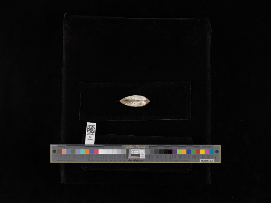
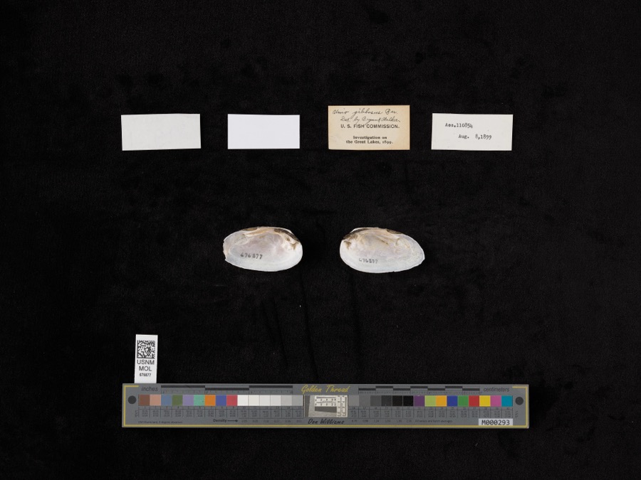
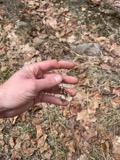
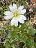
Specimens collected near this property
12 of 7,578 shown
Regional context, not property-specific
evidence. Museums hold 7,578 specimens
collected within 10 miles of Inselruhe between 1871 and
1975: 6,415 Animalia, 1,053 Plantae, 99 Fungi, 6 Chromista, 5 Unrecorded. 12 distinct Species records are shown.
Collected by A. J. Pieters, A. Lewis, A. Macnaughton and others. Each is a
physical object with a catalogue
number, and each entry opens the museum's record. This is what was
collected and kept, not a survey of what lives here - nothing can be
concluded from a species being absent.
Regional context, not property-specific
evidence. The National Weather Service names
Put-in-Bay, the town this property stands in, in 9 storm reports between 1999 and 2023: 7 thunderstorm wind, 1 waterspout, 1 hail.
No death or injury is recorded in these reports. Each account below is quoted exactly as the forecast office
filed it, from the NOAA Storm Events Database, and each date
opens the federal record of that event.
Extensive tree damage occurred across South Bass Island and Put-In-Bay. Some trees fell onto power lines and homes, causing minor damage to a few structures. An automated wind sensor at South Bass Island measured a 76 mph wind gust.
No historic map-sheet match is published
for this property yet. That does not mean no map exists. This record needs
a coordinate-quality review before it can be joined to a sheet boundary.
Browse the county's mapped places while that work is
pending.
From the nomination file
2,182 words on record
When this property was proposed for the
National Register, someone wrote the case for it: what the building is,
and why it matters. That document is a federal record in the public domain.
It is quoted below word for word, never summarised. The text was read off the scanned case file by machine, so the
occasional stray character is the recogniser's and the 1970s
typewriter's.
Description of the property
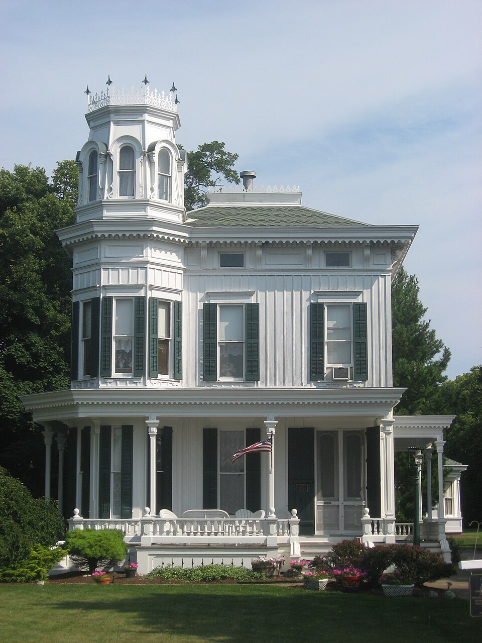
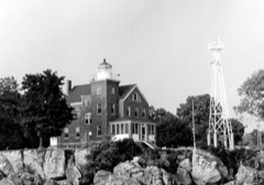
the center bay. The cornice molding of the two porches continues under the balcony. windows. The first story is covered by a one-story, shed roofed addition cornice and water table. This flattened area on both sides has a 2/2 pane window. DATE The ends are continues around the entire building.The third stage of the tower has round-arched, have four windows.A wood molding divides the floors.The rear has an exterior molded iron work.The flattened hip roof of the house has a cresting of jigsawn The porch is enclosed by a low wood railing.The cornice board and batten. property and have been restored.To the rear of the house is a small one-story There is a water table and wide cornice.There is a center door The front corners of the building are cut off between the Form No. 10-300a (Rev.
10-74) UNITED STATES DEPARTMENT OF THE INTERIOR NATIONAL PARK SERVICE NATIONAL REGISTER OF HISTORIC PLACES INVENTORY -- NOMINATION FORM DATE ENTERED Inselruhe, Ottawa Co., Ohio ITEM NUMBER Immediately southwest of Inselruhe is a two-story, frame cottage. The The upper portion of the tower has round-arched windows, a bracketed cornice, of its proximity. Little is khown about the history of the house, but GPO 892 455 PAGE CONTINUATION SHEET 2/2 light and all have wood shutters.The first story windows are more supported by long wood brackets.The roof is hipped.Though less elaborate and a wood rail.To the right of the tower is an open porch.Windows are structure is L' shaped with a square tower at the intersection.The it is well cared for.
FOR NPS USE ONLY DEC 12 1976 elongated than those of the second floor.A wide cornice overhand is tower is flush with the facade.The entrance is in the base of the tower. AREAS OF
Statement of significance
The residence, laundry house and neighboring cottage are examples of the type residence of John J. Hunker, a well-known naval commander during the Built in 1875 for James B. Monroe, this residnece was designed by James 1875 1600-1699 1700-1799 CONSERVATION COMMERCE ECONOMICS EDUCATION ARCHEOLOGY-HISTORIC ART POLITICS/GOVERNMENT PERIOD ARCHEOLOGY-PREHISTORIC AGRICULTURE BUILDER/ARCHITECT RELIGION SIGNIFICANCE PREHISTORIC MILITARY THEATER James Young LITERATURE SCIENCE MUSIC TRANSPORTATION 1900- SCULPTURE SOCIAL/HUMANITARIAN _EXPLORATION/SETTLEMENT _ENGINEERING _PHILOSOPHY present owners bought the property from Mrs. Hunker in 1937. Spanish-American War.The house is still used as a summer home.
of structures built by the Ohio wealthy as summer homes.These island homes Inselruhe is an outstanding example of steamboat Gothic architecture in Ohio. The home has had only three owners and is in excellent condition.It's (b.1844) was a Toledo native and noted in Who Was Who as a prominent setting is little changed from 1875.It gains further importance as the -1500-1599 the ship Michigan' on the great lakes.He is best known for organizing -1400-1499 x1800-1899 Nipe Bay,Cuba on July 21,1898.He retired on June 12,1906and died -LAW navy man. By 1906 he had risen to the rank of Rear Admiral. He commanded at Inselruhe in 1916. When not on ship, Inselruhe was his home.
The INVENTION INDUSTRY and commandeering transport fleets and convoys assembled at Tampa, The home was inherited by Monroe's son-in-law, John J. Hunker.Hunker railroad magnate and sought out this location for its "isolated splendor" were the equivalent of Camden Maine as a summer resort for rich Bostonians.
Quoted from the National Register nomination
for reference 76001506, 26 pages, held by the National Archives in Record
Group 79. See the
catalogue record.
Listed places nearby
4 within 8 miles
Other National Register properties close
enough to walk or drive between, ordered by distance from this one. Both
positions come from the same geocoding pass that matched these properties
to their map sheets.
Listing record. National Park Service National Register of Historic Places, listed-properties dataset, current to 2026-05-22.
Map join. Address geocoded through the United States Census geocoder, then tested against the published boundary of every sheet in the USGS Historical Topographic Map Collection.
How this page is made. Listing fields come from federal records; map-sheet coverage is a labelled coordinate-to-boundary calculation, not a source-field claim.
Specimens. Global Biodiversity Information Facility (GBIF), https://www.gbif.org/. Only records licensed CC0 or CC BY are used. Records licensed CC BY-NC are excluded because this site carries advertising. Images are checked individually and any whose licence is non-commercial, no-derivatives or unreadable is refused.
Storms. NOAA National Centers for Environmental Information, Storm Events Database https://www.ncei.noaa.gov/stormevents/ A work of the United States government, no copyright under 17 U.S.C. 105. Narratives are quoted verbatim from the National Weather Service report and are not edited or summarised.
 Block
Block