




BlockBefore
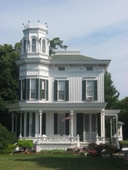
Decorative drawing: an ornate nineteenth-century American house. Not a photograph of this place.

Foster--Gram House

Listed on the National Register of Historic Places in 1992. A historic map-sheet match is not published yet. The record needs a coordinate-quality review before it can be joined to a sheet boundary.

From the record

one of 21 National Register listings in Ottawa County · listed in 1992 · category: Building.

Sources: the case file at the National Archives · the National Register database, National Park Service

The listing

  • What is counted as historic. The nomination lists 2 buildingss as contributing to the listing.
  • Address. Langrum Rd., South Bass Island, Put-In-Bay, 43456
  • When was it listed? 1992-03-19
  • Category. building
  • Township. Put-in-Bay township
  • National Register reference number. 92000175 - the number the National Park Service assigned this property when it was listed, and the key its nomination file is catalogued under at the National Archives.

Specimens collected near this property

12 of 7,236 shown

Regional context, not property-specific evidence. Museums hold 7,236 specimens collected within 10 miles of Foster--Gram House between 1871 and 1975: 6,094 Animalia, 1,032 Plantae, 99 Fungi, 6 Chromista, 5 Unrecorded. 12 distinct Species records are shown. Collected by A. J. Pieters, A. Lewis, A. Marshall and others. Each is a physical object with a catalogue number, and each entry opens the museum's record. This is what was collected and kept, not a survey of what lives here - nothing can be concluded from a species being absent.

Image SpeciesYear Collected by Where, as recorded
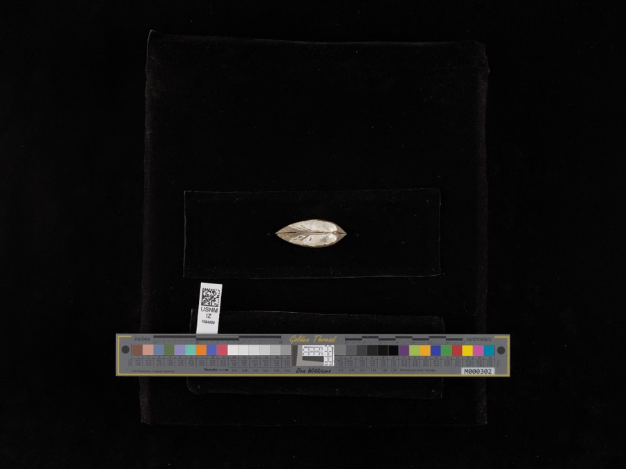
Specimen of Lampsilis radiata (Gmelin, 1791)Lampsilis radiata (Gmelin, 1791)1898United States Fish Commission4 miles East, North Bass Island, Lake Erie
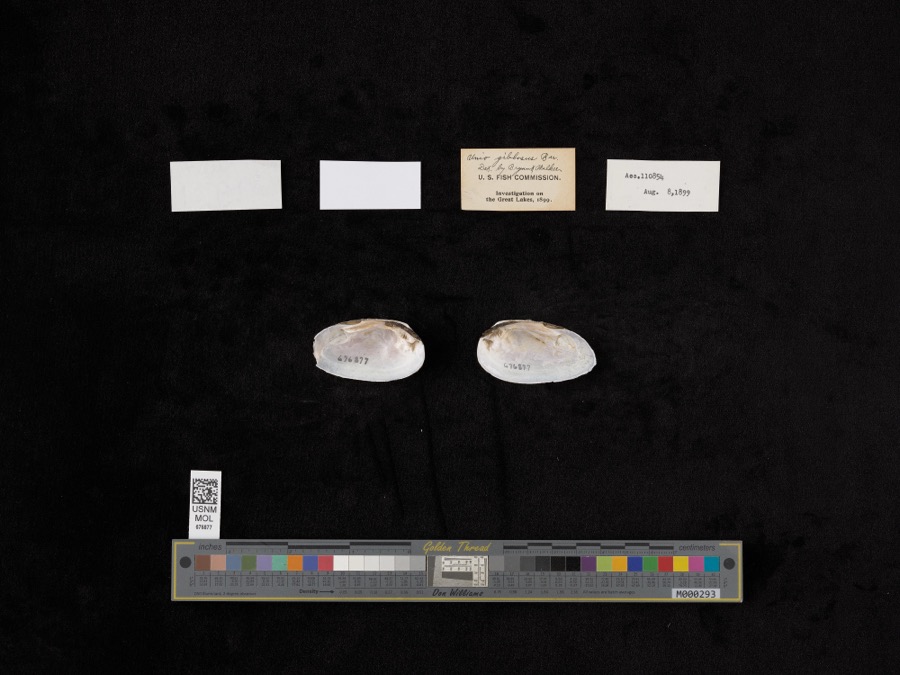
Specimen of Elliptio dilatatus (Rafinesque, 1820)Elliptio dilatatus (Rafinesque, 1820)1899not recordedLake Shore, Near East Harbor
A photograph of the species Carex L., not of this specimenCarex L.1871H. GillmanPut-in-bay Island, Lake Erie.
A photograph of the species Astragalus canadensis, not of this specimenAstragalus canadensis var. canadensis1872T. MorongShores of the Is. at Put-in-Bay. Lake Erie
A photograph of the species Mentha arvensis, not of this specimenMentha arvensis var. glabrata (Benth.) Fernald1872T. MorongPut-in-Bay Is. Lake Erie. On the lake shore.
A photograph of the species Solidago hispida, not of this specimenSolidago hispida Muhl. ex Willd.1872T. MorongPut-in-Bay Island, Lake Erie
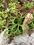
A photograph of the species Diphasiastrum complanatum, not of this specimenDiphasiastrum complanatum (L.) Holub1878Roberts, ThomasPut-in Bay;;;;
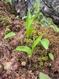
A photograph of the species Maianthemum trifolium, not of this specimenMaianthemum trifolium (L.) Sloboda1878Juni, B.Put in Bay;;;;
A photograph of the species Anemone canadensis, not of this specimenAnemone canadensis L.1881Mertz, H.Put-in-Bay
A photograph of the species Calystegia sepium, not of this specimenCalystegia sepium (L.) R.Br.1881Mertz, H.N.Put-in-Bay
A photograph of the species Cerastium arvense, not of this specimenCerastium arvense f. oblongifolium (Torr.) Pennell1881Mertz, H.N.Put-in-Bay
A photograph of the species Acris crepitans, not of this specimenAcris crepitans blanchardi Harper, 19471894not recordedNorth Bass Island, Lake Erie

All 7,236 specimens within 10 miles, at the Global Biodiversity Information Facility.

Storms near this property

9 since 1999

Regional context, not property-specific evidence. The National Weather Service names Put-In-Bay, the town this property stands in, in 9 storm reports between 1999 and 2023: 7 thunderstorm wind, 1 waterspout, 1 hail. No death or injury is recorded in these reports. Each account below is quoted exactly as the forecast office filed it, from the NOAA Storm Events Database, and each date opens the federal record of that event.

WhenEvent Place namedHarm What the report says
June 2020Thunderstorm WindPut In Bay$75,000Extensive tree damage occurred across South Bass Island and Put-In-Bay. Some trees fell onto power lines and homes, causing minor damage to a few structures. An automated wind sensor at South Bass Island measured a 76 mph wind gust.
August 2023Thunderstorm WindPut In Bay-Several large trees downed in Put-in-Bay.
August 2023Thunderstorm WindPut In Bay-Trees downed in Put-in-Bay on South Bass Island. Straight-line wind damage was caused by nearby outflow-dominant thunderstorms.
August 2022Thunderstorm WindPut In Bay-Several trees downed in Put-in-Bay.
August 2021Thunderstorm WindPut In Bay-Numerous trees and power lines down on South Bass Island.
October 2020Thunderstorm WindPut In Bay-Multiple trees downed on South Bass Island, including Put-In-Bay.
May 2007Thunderstorm WindPut In Bay-A peak wind of 51 knots was measured at the lighthouse located on South Bass Island.
October 1999WaterspoutPut In Bay-A large waterspout was sighted approximately three miles southwest of Put-In-Bay. No damage occurred.
June 2008HailPut In Bay-no account filed

Every storm recorded in Ottawa County

Map coverage status

No historic map-sheet match is published for this property yet. That does not mean no map exists. This record needs a coordinate-quality review before it can be joined to a sheet boundary. Browse the county's mapped places while that work is pending.

From the nomination file

3,449 words on record

When this property was proposed for the National Register, someone wrote the case for it: what the building is, and why it matters. That document is a federal record in the public domain. It is quoted below word for word, never summarised. The text was read off the scanned case file by machine, so the occasional stray character is the recogniser's and the 1970s typewriter's.

Statement of significance

Applicable National Register Criteria 1870 - 1935 William Wild ? its association with the wine-growing industry of the Lake Erie islands region. The Lake in the Lake Erie islands region. The complex is also eligible under Criteria C as an excellent example of the mid to late 19th century vernacular architecture found on South Although California has long been the predominant wine-producing state, Ohio led the among the top two or three states weil into the 1900's.' The first major Ohio wine-growing region was centered in the Ohio River Valley around Cincinnati. However, when these southern Ohio vineyards were decimated by rot, mildew and other horticultural diseases in Viticulture and the Lake Erie Islands region were ideally suited for one another.

The islands' low annual rainfall and porous, limestone soil were conducive to grape growing. annual income from a 10 acre vineyard as a farmer engaged in general agriculture could from a 100 acre farm. 4 highly successful and soon became the leading industry on South Bass, displacing fishing and general agriculture. Of 66 heads of household listed in an 1874 atlas, 49 listed grape- growing among their occupations. By 1878 some 71 grape-growers were cultivating over 550 of the island's 1380 acres. [x See continuation sheet 1872 Architecture Significant Dates ing materials. farm- Significant Person State significance of property, and justify criteria, criteria considerations, and areas and periods of significance noted above. a small amount of acreage.

It was said that a grape-grower could generate as great an From a temperature standpoint the islands also benefit from the moderating influence of risk of a late killing frost while the warm fall breezes lessened the chance of rot and Industry/Agriculture stead is representative of the sma1l 10-20 acre family wine-growing farms which were common Lake Erie.
Read the complete 3,449-word case file.

The whole case file for this property - 3,449 words, 33 pages, reproduced complete.

Quoted from the National Register nomination for reference 92000175, 33 pages, held by the National Archives in Record Group 79. See the catalogue record.

Listed places nearby

4 within 8 miles

Other National Register properties close enough to walk or drive between, ordered by distance from this one. Both positions come from the same geocoding pass that matched these properties to their map sheets.

Photograph PropertyDistance Listed
Inselruhe1.0 miles1976
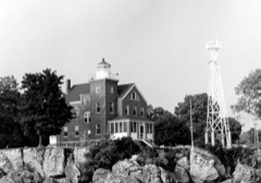
South Bass Island Light1.5 miles1990
Andres, Charles, House2.8 miles1995
East Point Manor3.8 miles1990

Sources for this property

National Archives recordThe nomination case file for reference 92000175 in Record Group 79.
Ottawa CountyAll 21 listed properties in this county.

Provenance

  • Listing record. National Park Service National Register of Historic Places, listed-properties dataset, current to 2026-05-22.
  • Map join. Address geocoded through the United States Census geocoder, then tested against the published boundary of every sheet in the USGS Historical Topographic Map Collection.
  • How this page is made. Listing fields come from federal records; map-sheet coverage is a labelled coordinate-to-boundary calculation, not a source-field claim.
  • Specimens. Global Biodiversity Information Facility (GBIF), https://www.gbif.org/. Only records licensed CC0 or CC BY are used. Records licensed CC BY-NC are excluded because this site carries advertising. Images are checked individually and any whose licence is non-commercial, no-derivatives or unreadable is refused.
  • Storms. NOAA National Centers for Environmental Information, Storm Events Database https://www.ncei.noaa.gov/stormevents/ A work of the United States government, no copyright under 17 U.S.C. 105. Narratives are quoted verbatim from the National Weather Service report and are not edited or summarised.