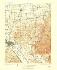
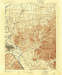
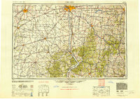
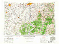
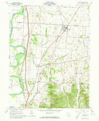
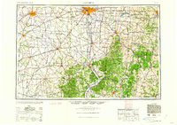
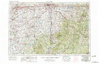
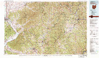
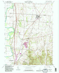
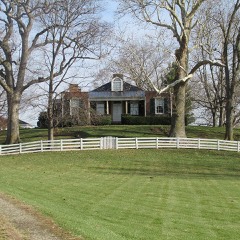
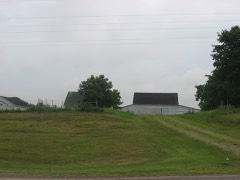
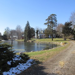
Listed on the National Register of Historic Places in 1976. 9 historic topographic surveys show this location, the earliest from 1906.
From the record
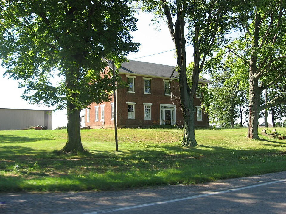
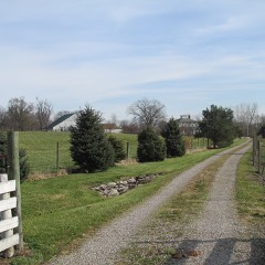
“Bellevue is a historic farmhouse located near the village of Kingston in southern Pickaway County, Ohio, United States. Built of brick on a stone foundation, it was the home of leading early Ohio politician Renick Dunlap.”
Wikipedia article Bellevue (Kingston, Ohio), CC BY-SA 4.0.
One of 28 National Register listings published here for Pickaway County · listed in 1976 · category: Building.
National Register reference number.76001508- the number the National Park Service assigned this property when it was listed, and the key its nomination file is catalogued under at the National Archives.
Jacob Stingley came here in 1805 ; Hugh Foresman, in 1806; Thomas Emerson, James Hedges and Gabriel Steely, about 1807. Philip and Joseph Hedges, father and cousin, respectively, of James Hedges, arrived here a short time after he made his settlement. James Torbert, a son-in-law of Hugh Foresman, and Jacob Wagner settled in Pickaway township in 1808; William Caldwell and family, in 1809; George Kellenberger and wife, soon after the close of the War of 1812: John Entrekin, who had settled in Ross County as early as 1798, became a resident of Pickaway township in now known as Meade. As early as 1802 or 1803 a log meeting-hcuse was built, in which church services were held. Rev. James Quinn, a circuit preacher, held services in this building. In the fall of 1816 another log church was built, which was subsequently weatherboarded. This church continued to be used until the present frame structure was erected, which is valued at $1,800. The pastor of the church is Rev. Stone, of Kingston. The charge was originally in the Pickaway Circuit, then in the Circleville, and is now in the Kingston Circuit. The Sunday-school has a membership of about 50 members; the superintendent 1s John \W. Stump.
The first place in the township chosen for burial purposes was the Boggs burying-ground, in which the first person buried, whose grave is still marked, was David Boggs, who died May 10, 1800, in the 10th year of his age. The next was Jacob Sayler, who died September 21, 1800, aged 52 years. The first burials in the old and now dilapidated Jefferson buryingground were those of Nancy Evans, in August, 1813; and Willard Evans, in September of the same year. In the burying-ground at Meade near the Methodist Episcopal Church, Susannah Crow, who died July 8, 1809, was the first person interred. Thomas Crow was buried here in January, 1814. This cemetery is still used and is kept in fairly good condition. The cemetery adjoining Ebenezer Church is kept in very good shape, the sexton being in constant attendance. Some of the earliest interments in cemetery in Ross County, a mile southwest of Kingston. The first grave was that of Jane Harrison, wife of George Harrison, deceased September 6, 1800. The next was that of Jane Denny, who died in October, 1800.
Regional context, not property-specific
evidence. The
federal wildfire occurrence database
lists 5 fires within 5 miles of Bellevue
between 2007 and 2012, burning about 8 acres in total. None started naturally. 1 was recorded as arson.
Distance is straight-line from the map coordinates, so a fire counted
here may appear on a neighbouring settlement's page as well.
Reported cause
Fires
Debris and open burning
4
Arson/incendiarism
1
The most recent of
them, most recent first, with the day each was reported and the service
that recorded it.
Regional context, not property-specific
evidence. Museums hold 1,061 specimens
collected within 10 miles of Bellevue between 1845 and 1975: 967 Animalia, 87 Plantae, 6 Fungi, 1 Protozoa.
12 distinct Species records are shown.
Collected by A. Spreitzer & W. LeGrande, Adams, W.; Bartley, F., Andy White. and others. Each is a
physical object with a catalogue
number, and each entry opens the museum's record. This is what was
collected and kept, not a survey of what lives here - nothing can be
concluded from a species being absent.
Regional context, not property-specific
evidence. The federal mineral resources record lists
1 working within 5 miles of Bellevue: 1 producer.
All of them still produce. What was taken out: Sand and Gravel, Construction. Distance is straight-line from the
map coordinates, so a quarry counted here may appear on a neighbouring
settlement's page as well.
United States Geological Survey topographic
sheets whose coverage includes this point. Matched by taking the coordinate the National Park Service records for this property, then
testing that coordinate against the published boundary of every sheet.
When this property was proposed for the
National Register, someone wrote the case for it: what the building is,
and why it matters. That document is a federal record in the public domain.
It is quoted below word for word, never summarised. The text was read off the scanned case file by machine, so the
occasional stray character is the recogniser's and the 1970s
typewriter's.
Description of the property
windows in the front four rooms are recessed to the floor with paneling below the random widths. The center hall has a delicate stairway with a cherry banister. were originally connected by ceiling-high folding paneled doors. The doors opened onto the porches.The foundation is sandstone.
Bricks were fired on the property a small porch or stoop supported by massive square columns.This was replaced by an enclosed porch on the south side and an open porch on the north.Both the ell 9/9 pane windows on each floor.These are placed two toward the center and two 6/6 pane with plain stone 1intels and shutters.The center entrance originally had between the rooms.The small room on the upper floor directly over the center and"L"along the kitchen wing.The lower part is pariallly enclosed and screened LRUINS AREAS OF
Statement of significance
and was the home of one of Ohio's prominent politicians, Renick Dunlap. The Bellevue was built by Col.William Entrekin, son of John Entrekin an early married Jane Bell, a relative of George Renick, a famed cattle breeder and drover.
Bellevue and its farmland was purchased in 1899 by Nelson Dunlap, the grandfather in 1945, his daughter, Mary Dunlap Smith, and her husband returned to operate 1840 1600-1699 1400-1499 ARCHEOLOGY-HISTORIC ART LAW SIGNIFICANCE XARCHITECTURE TRANSPORTATION PHILOSOPHY PERIOD PREHISTORIC MILITARY AGRICULTURE 1900- SCIENCE ARCHEOLOGY-PREHISTORIC LITERATURE _COMMUNICATIONS X1800-1899 MUSIC XPOLITICS/GOVERNMENT 1700-1799 _EXPLORATION/SETTLEMENT Secretary Of Agriculture of the United States for eight years.After his death and Dairy and Food Commissioner of the State of Ohio.Later he was Assistant a log and frame house while Bellevue was begun in 1835.Col.William Entrekin _ENGINEERING home is well-proportioned and is well cared for and preserved.
Tavern which served travelers on the famed Zane's Trace.Entrekin first lived in - CONSERVATION INDUSTRY - ECONOMICS -RELIGION livesthere. -THEATER Bellevue is a very good example of an early country estate in central Ohio BUILDER/ARCHITECT Col. William Entrekin INVENTION political affairs.He served as a State Senator, State Secretary of Agriculture, settler of nearby Ross County The house is located near the McCutcheon
Quoted from the National Register nomination
for reference 76001508, 19 pages, held by the National Archives in Record
Group 79. See the
catalogue record.
Listed places nearby
6 within 8 miles
Other National Register properties close
enough to walk or drive between, ordered by distance from this one. Both
positions come from the same geocoding pass that matched these properties
to their map sheets.
Listing record. National Park Service National Register of Historic Places, listed-properties dataset, current to 2026-05-22.
Map join. Address geocoded through the United States Census geocoder, then tested against the published boundary of every sheet in the USGS Historical Topographic Map Collection.
How this page is made. Listing fields come from federal records; map-sheet coverage is a labelled coordinate-to-boundary calculation, not a source-field claim.
Wildfire. Short, Karen C. 2022. Spatial wildfire occurrence data for the United States, 1992-2020 [FPA_FOD_20221014]. 6th Edition. Fort Collins, CO: Forest Service Research Data Archive. https://doi.org/10.2737/RDS-2013-0009.6 Collected with United States Government funding and usable without additional permissions or fees.
Specimens. Global Biodiversity Information Facility (GBIF), https://www.gbif.org/. Only records licensed CC0 or CC BY are used. Records licensed CC BY-NC are excluded because this site carries advertising. Images are checked individually and any whose licence is non-commercial, no-derivatives or unreadable is refused.
Mines and quarries. USGS Mineral Resources Data System (MRDS) https://mrdata.usgs.gov/mrds/ A work of the United States government, no copyright under 17 U.S.C. 105.
 Block