Listed on the National Register of Historic Places in
1976. A historic map-sheet match is not published yet. The record needs a coordinate-quality review before it can be joined to a sheet boundary.
From the record
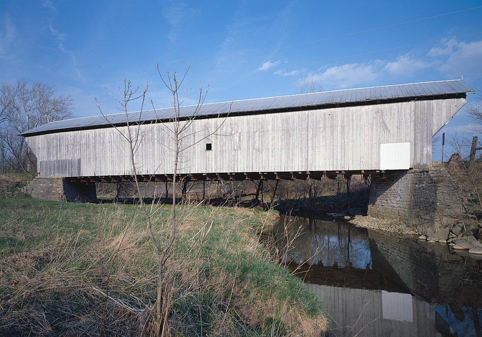
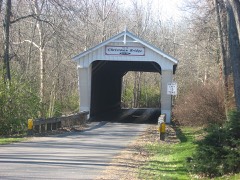
“The Harshman Covered Bridge near Fairhaven, Ohio, was built in 1894 by Everett S. It was listed on the National Register of Historic Places in 1976.”
Wikipedia article Harshman Covered Bridge, CC BY-SA 4.0.
one of 16 National Register listings in Preble County · listed in 1976 · category: Structure.
National Register reference number.76001517- the number the National Park Service assigned this property when it was listed, and the key its nomination file is catalogued under at the National Archives.
Regional context, not property-specific
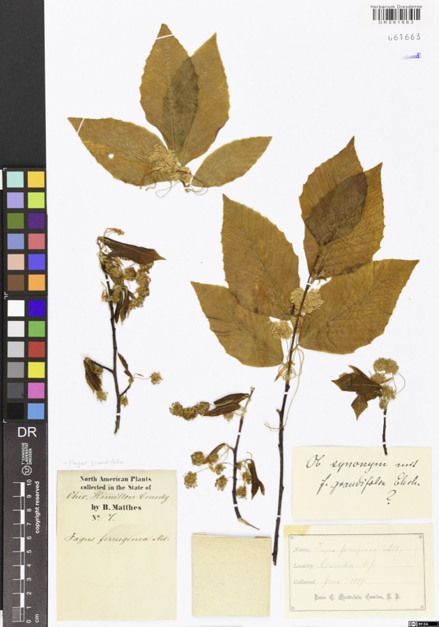
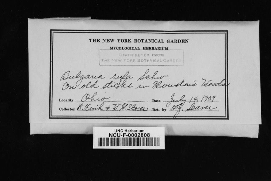
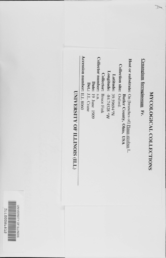
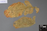
evidence. Museums hold 920 specimens
collected within 10 miles of Harshman Covered Bridge between 1877 and
1975: 784 Animalia, 76 Plantae, 55 Fungi, 5 Protozoa. 12 distinct Species records are shown.
Collected by ?, A.L.; Bucholtz, I., A.R. Gaufin, H.H. Ross and others. Each is a
physical object with a catalogue
number, and each entry opens the museum's record. This is what was
collected and kept, not a survey of what lives here - nothing can be
concluded from a species being absent.
Regional context, not property-specific
evidence. The National Weather Service names
Fairhaven, the town this property stands in, in 7 storm reports between 1995 and 2023: 5 thunderstorm wind, 2 flash flood.
No death or injury is recorded in these reports. Each account below is quoted exactly as the forecast office
filed it, from the NOAA Storm Events Database, and each date
opens the federal record of that event.
Two bridges washed out, one of which was completely destroyed, on Fairhaven-College Corner Road and Buck Paxton Road. Little Four Mile Creek came out of its banks along both roads.
One barn was severely damaged and another one was completely destroyed by the thunderstorm winds. Two vehicles sustained minor damage, and several trees were knocked down.
No historic map-sheet match is published
for this property yet. That does not mean no map exists. This record needs
a coordinate-quality review before it can be joined to a sheet boundary.
Browse the county's mapped places while that work is
pending.
From the nomination file
2,122 words on record
When this property was proposed for the
National Register, someone wrote the case for it: what the building is,
and why it matters. That document is a federal record in the public domain.
It is quoted below word for word, never summarised. The text was read off the scanned case file by machine, so the
occasional stray character is the recogniser's and the 1970s
typewriter's.
Description of the property
by Horace Childs of Henniker, New Hampshire. Mr. Childs was a master carpenter measuring 7" x T". The bottom chords are 1-3 x 12 and 1-4 x 12 dowelled together. 3/4" or 1" and this proved to be inadequate in later jears, so the county replaced, of blue limestone laid in lime and sand mortar. In the 1950's and 60's, this CONDITION UNALTERED RUINS UNEXPOSED XEXCELLENT The outward appearance of the Harshman Covered Bridge is much the same as always CHECK ONE The structure under consideration is a one-span wooden truss covered bridge by using air-emplaced sand-cement.
The roof on the Harshman Bridge was originally Engineer.In 196l, this roof was replaced with an aluminum raised-seam roof World War ll according to Seth S.Schlotterbeck, former Preble County Maintenance beams.During World War ll, when truck traffic became heavier, the county doubled spanning Four Mile Creek on the Concord-Fairhaven Road four miles north of post trusses in that it uses the triangular form with the diagonals being in Mr. Sherman suspended his floor beams from the lower chords on irio stirrups either of red cedar, which was probably replaced with another of the same type before compression and the vertical truss pieces are the tension members.
However, the Ithas received.excellent maintenance as detailed above and is in excellent con- the number of these floor beams in each bridge, using some new oak beams and some of the Harshman Bridge was turned over when it became worn, and later on, rumways side of the bridge in the l96ois so that people would not knock off the siding specifications also called for this bridge to be painted with three coats of Fairhaven in Dixon Township section l6,Preble County, Ohio.
Ohio after the Civil War. Like Horace Childs who patented the Childs truss, Mr. 1ooped around the creek to the-west to avoid stream crossings. Mr. Harshman re- the firm of Cobb and Mitchell, Cadillac, Michigan. 1600-1699 Historical EDUCATION CONSERVATION THEATER ECONOMICS ARCHITECTURE PERIOD SIGNIFICANCE ARCHEOLOGY-HISTORIC BUILDER/ARCHITECT 1700-1799 SCIENCE INDUSTRY LAW MILITARY bridge. SCULPTURE AGRICULTURE PREHISTORIC INVENTION _EXPLORATION/SETTLEMENT _COMMUNICATIONS _POLITICS/GOVERNMENT 1900- pressed that they awarded him several contracts immediately to rebuild the storm- LITERATURE Evrett S. Sherman _PHILOSOPHY Register of Historic Places.
Mr.Sherman is said to have taken a model of the Childs crush and grind their grain.This boulder is located not far south of the covered The Harshman Covered Bridge was built in 189l by Evrett S.Sherman who came to Preble The Indians called this creek Tallewanda and it was at this point in the creek quested that the county reroute the road and build it on the half-section line standing example of the bridge-building skills of E.S.
Sherman and the maintenance highly the county officials thought of Mr.Sherman and his work wrecked bridges.That he was still building covered wooden bridges into the l890's little-known truss type.Mr.Sherman first built a Childs truss b ridge in Delaware the bridge in 1895.The pine lumber used in the trusses of the bridge came from skills of the Preble County Engineer's Department. _SOCIAL/HUMANITARIAN truss bridge with him to meet with the Preble County officials and they were so im _COMMERCE the blue limestone for the bridge abutments.
Quoted from the National Register nomination
for reference 76001517, 15 pages, held by the National Archives in Record
Group 79. See the
catalogue record.
Listed places nearby
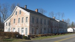
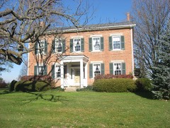
6 within 8 miles
Other National Register properties close
enough to walk or drive between, ordered by distance from this one. Both
positions come from the same geocoding pass that matched these properties
to their map sheets.
Listing record. National Park Service National Register of Historic Places, listed-properties dataset, current to 2026-05-22.
Map join. Address geocoded through the United States Census geocoder, then tested against the published boundary of every sheet in the USGS Historical Topographic Map Collection.
How this page is made. Listing fields come from federal records; map-sheet coverage is a labelled coordinate-to-boundary calculation, not a source-field claim.
Specimens. Global Biodiversity Information Facility (GBIF), https://www.gbif.org/. Only records licensed CC0 or CC BY are used. Records licensed CC BY-NC are excluded because this site carries advertising. Images are checked individually and any whose licence is non-commercial, no-derivatives or unreadable is refused.
Storms. NOAA National Centers for Environmental Information, Storm Events Database https://www.ncei.noaa.gov/stormevents/ A work of the United States government, no copyright under 17 U.S.C. 105. Narratives are quoted verbatim from the National Weather Service report and are not edited or summarised.
 Block
Block