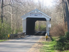
National Register reference number.78002175- the number the National Park Service assigned this property when it was listed, and the key its nomination file is catalogued under at the National Archives.
Then and now
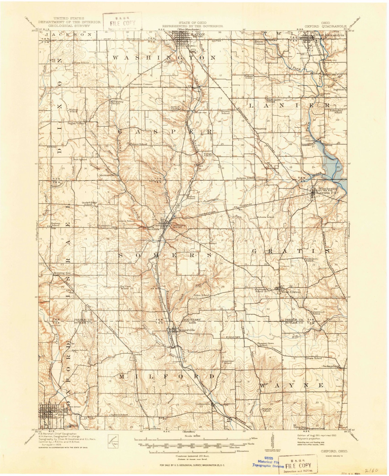
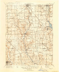
1911 to 1953
The ground this property stands on, surveyed
42 years apart. Drag the handle to wipe between them. Both sheets are
United States Geological Survey originals; neither has been altered.
19111953
The ground it stands on
1,164 words
The chapter on Eaton City in History of Preble County Ohio, published 1881 names Eaton. This is what it says, exactly as the scans read.
In laying before our patrons the history of Preble county, the publishers wish not only to return thanks to all who have given them encouragement in their undertaking and assistance in carrying out their plans, but to make especial acknowledgment of services afforded, and courtesies extended by many citizens of Eaton and of the various townships of the county. Some measure of assistance in collecting and compiling the materials which compose this volume, it is safe to say, has been Fully that number of people have been interviewed by our historians received from, at least, a thousand persons. and note-collectors. While we wish all to feel themselves the recipients. of our gratitude, we desire also to address our thanks personally to a few individuals who have been qualified and enabled, through the possession of, or ability to secure information upon, certain single topics, to lend the members of our writing corps invaluable aid. To the clergy generally, the editors of the several newspapers and the always painstaking and obliging county officials we extend our sincerest thanks for many favors received. Among individuals we feel it our duty even at the risk of being invidious, to mention gratefully-as those from whom important assistance has been secured, Thomas J. Larsh, esq., Judge John V. Campbell, Levin T. McCabe, Judge Curry, S. H. Hubbell, R. G. D. Mc- Kemy, Jacob Chambers, Alfred Demy, C. W. Moore, Frank Mitchell, Dr. F. M. Michael and Robert W. Quinn, esq., all of Eaton, as well as Col. George D. Hendricks and Joseph D. Tracey, late of the same place, and that old-time and always esteemed citizen-of Eaton, now and for many years a resident of Indianapolis - Mr. George Bruce. To the late Dr. W. H. H. B. Minor, whose death has occurred since the inception of this ' work, we have been largely indebted for facts in connection with the history of Eaton.
Regional context, not property-specific
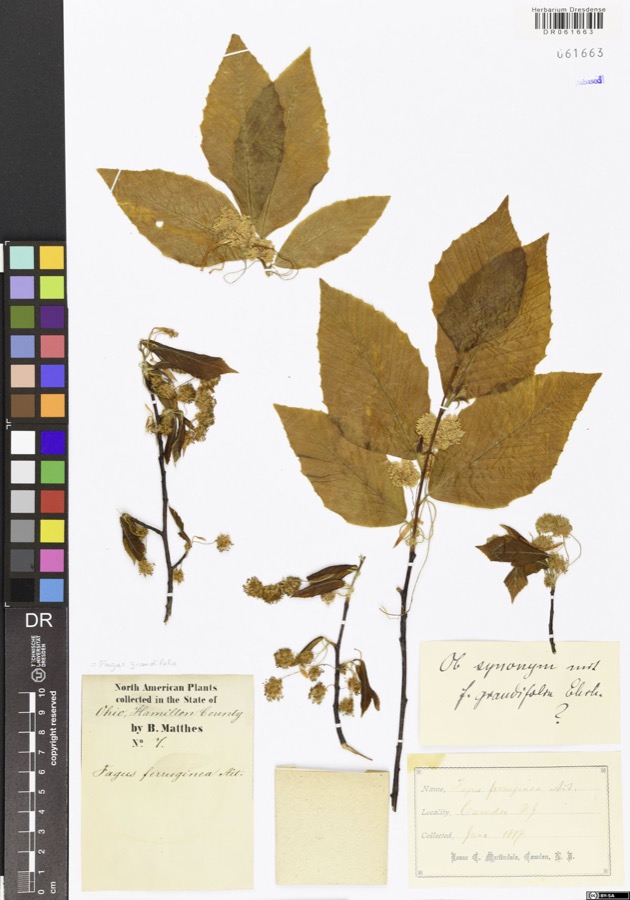
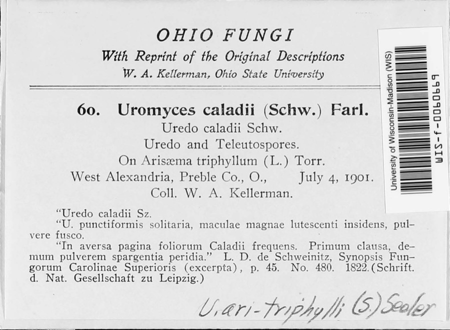
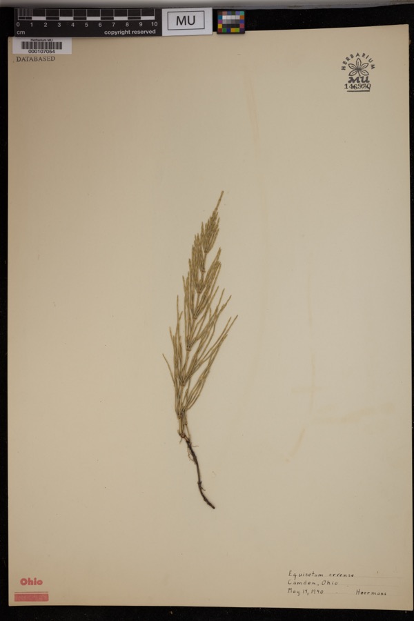
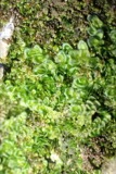
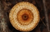
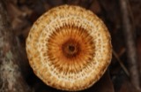
evidence. Museums hold 911 specimens
collected within 10 miles of St. Clair Street Bridge between 1877 and 1974: 825 Animalia, 57 Fungi, 29 Plantae.
12 distinct Species records are shown.
Collected by A.R. Gaufin, H.H. Ross, Arden R. Gaufin, B. Fink and others. Each is a
physical object with a catalogue
number, and each entry opens the museum's record. This is what was
collected and kept, not a survey of what lives here - nothing can be
concluded from a species being absent.
Regional context, not property-specific
evidence. The National Weather Service names
Eaton, the town this property stands in, in 75 storm reports between 1994 and 2023: 43 thunderstorm wind, 19 hail, 10 flash flood, 2 flood.
No death or injury is recorded in these reports. Each account below is quoted exactly as the forecast office
filed it, from the NOAA Storm Events Database, and each date
opens the federal record of that event.
Fifteen or more large trees were knocked down near Eaton High School. An equipment trailer and a marching band tower were blown over by high wind, and there was damage to fencing at the athletic complex. Also, shingle damage occurred to roofs along Hillcrest Drive from wind and hail.
A two story 100 foot by 100 foot barn was destroyed. A camper was blown into the road near the intersection of US Route 35 and Wayne Trace Road just east of Eaton.
5 papers published in this town,
digitised by the Library of Congress and free to read. Every page is searchable, so a name or a street can be
looked for directly in what the town printed about itself at the time.
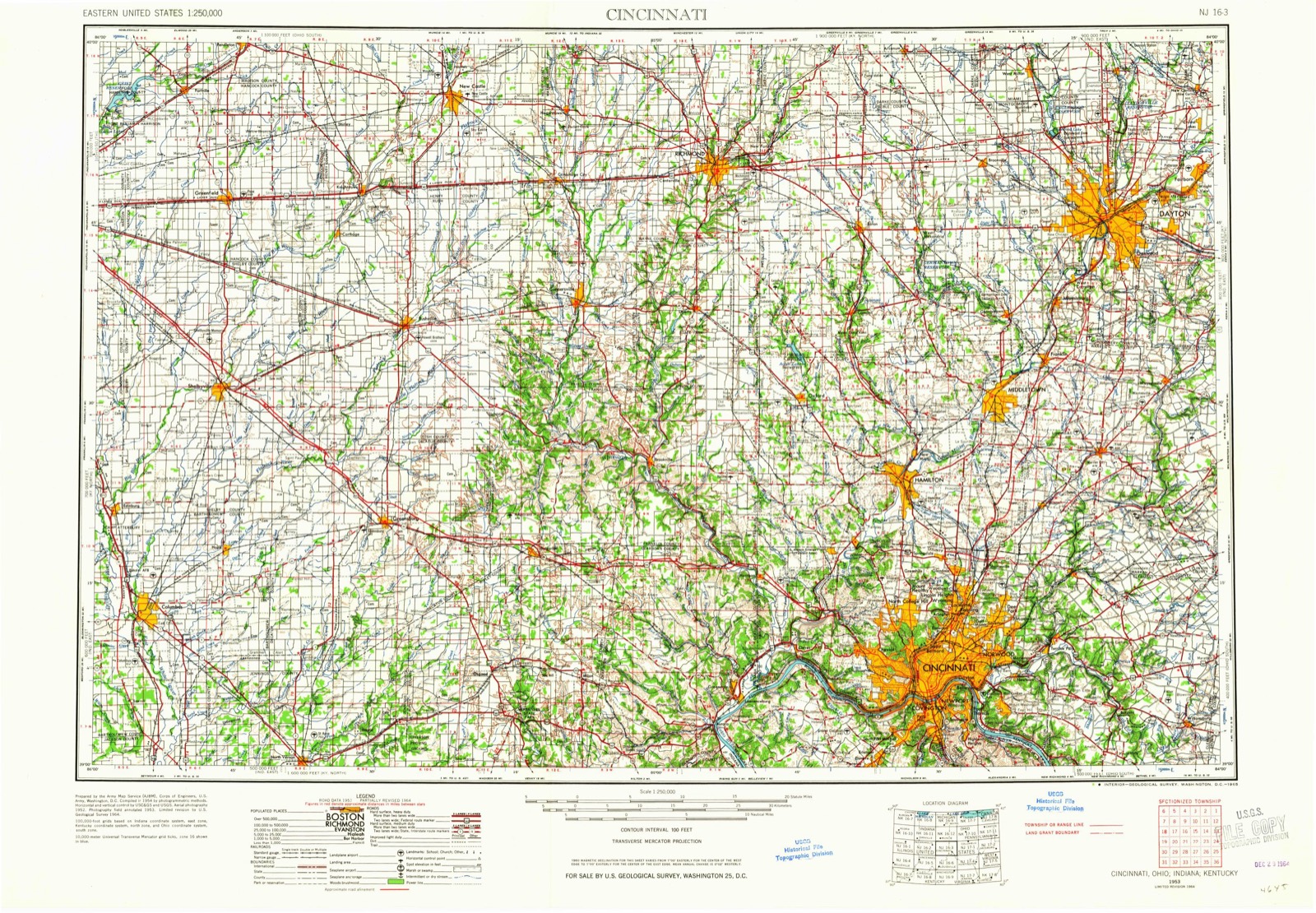
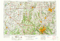
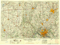
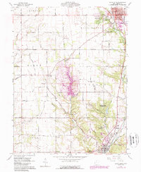
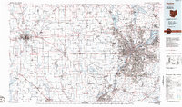
United States Geological Survey topographic
sheets whose coverage includes this point. Matched by taking the coordinate the National Park Service records for this property, then
testing that coordinate against the published boundary of every sheet.
When this property was proposed for the
National Register, someone wrote the case for it: what the building is,
and why it matters. That document is a federal record in the public domain.
It is quoted below word for word, never summarised. The text was read off the scanned case file by machine, so the
occasional stray character is the recogniser's and the 1970s
typewriter's.
Description of the property
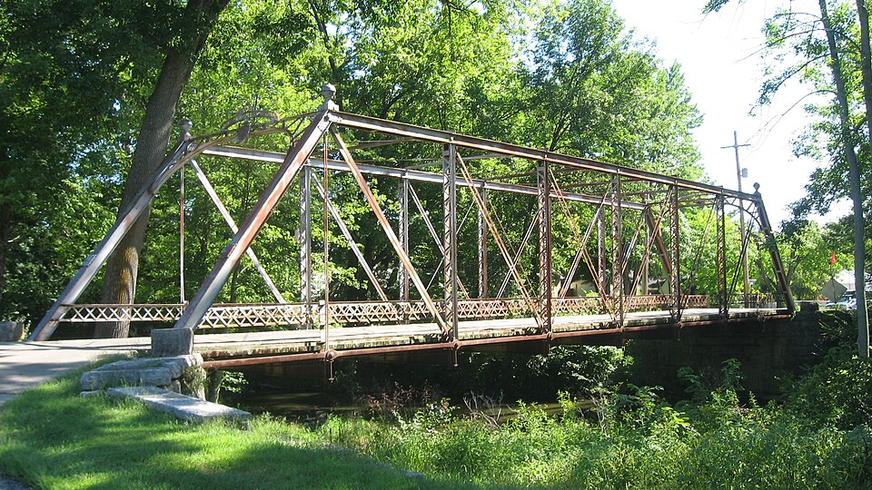
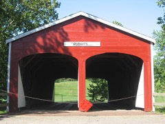
name plate, topped with an open metal arched band that bears the company name in into these blocks are the date 1886, the county engineer's name, and the masonry contractors' names. The bridge is posted for a three ton limit, but it and the abutments are still CONDITION UNEXPOSED EXCELLENT DETERIORATED RUINS UNALTERED XALTERED FAIR XGOOD batter posts which bear a small plate indentifying the county commissioners and Latticework guard rails stretch along both sides of the structure.The wooden deck CHECK ONE structurally sound according to the county engineer. The abutments are limestone and a solitary block rests atop each wingwall.Cut is supported by I floor beams and covered with a bituminous wearing surface.
This is a l04 foot long Pratt metal through-truss single-span bridge.It has six DATE AREAS OF
Statement of significance
Morrison, the son of David, as a partner. and an iron arch truss bridge in 1868. was to "manufacture, construct and erect Bridges and Roofs, to manufacture and Whipple, triangular, and arch trusses, and several rigid suspension bridges. company ceased operations about 1891, although James H. Morrison, the company fore- man, continued to construct bridges until 1915. who has inspection responsibilities for this structure, has expressed an interest 1700-1799 1886-87 1600-1699 LAW ARCHEOLOGY-HISTORIC ART SIGNIFICANCE PERIOD BUILDER/ARCHITECT THEATER AGRICULTURE PHILOSOPHY PREHISTORIC XTRANSPORTATION POLITICS/GOVERNMENT 1900- MILITARY LITERATURE _COMMUNICATIONS EDUCATION XENGINEERING lattice girder post design.
Columbia Bridge Works _CONSERVATION in maintaining this structure, and its location on a city sidestreet makes it an excellent candidate for preservation. SOCIAL/HUMANITARIAN a distinctive intermediate post design formed of parallel u-channel beams connected This bridge occupies a significant place in the history of bridge engineering in He received two patents for his designs; a metallic shoe for truss bridges in 1858, began building wooden and stone bridges for both railroads and highways in 1848.
disastrous flood earlier that year had destroyed a large number of bridges through- Ohio.It is one of seven metal through-truss bridges known to exist in the state out the county, and this bridge was to replace a washed out metal bridge several -1500-1599 hundred yards further upstream.The Trunks were listed in the 1875 Directory of The abutments for the bridge were constructed in 1886 by Adam and John Trunk.A Eaton asa part of Brannen and Trunk,Dealers and Workmen in Cut Limestone." Several of the bridges in the state erected by the Columbia Bridge Works are cur- -1400-1499 _RELIGION The Columbia Bridge Works was organized in 1852 by David H. Morrison of Dayton and _ECONOMICS D.H.
Quoted from the National Register nomination
for reference 78002175, 18 pages, held by the National Archives in Record
Group 79. See the
catalogue record.
Listed places nearby
6 within 8 miles
Other National Register properties close
enough to walk or drive between, ordered by distance from this one. Both
positions come from the same geocoding pass that matched these properties
to their map sheets.
Listing record. National Park Service National Register of Historic Places, listed-properties dataset, current to 2026-05-22.
Map join. Address geocoded through the United States Census geocoder, then tested against the published boundary of every sheet in the USGS Historical Topographic Map Collection.
How this page is made. Listing fields come from federal records; map-sheet coverage is a labelled coordinate-to-boundary calculation, not a source-field claim.
Specimens. Global Biodiversity Information Facility (GBIF), https://www.gbif.org/. Only records licensed CC0 or CC BY are used. Records licensed CC BY-NC are excluded because this site carries advertising. Images are checked individually and any whose licence is non-commercial, no-derivatives or unreadable is refused.
Storms. NOAA National Centers for Environmental Information, Storm Events Database https://www.ncei.noaa.gov/stormevents/ A work of the United States government, no copyright under 17 U.S.C. 105. Narratives are quoted verbatim from the National Weather Service report and are not edited or summarised.
 Block