Listed on the National Register of Historic Places in
1976. A historic map-sheet match is not published yet. The record needs a coordinate-quality review before it can be joined to a sheet boundary.
From the record
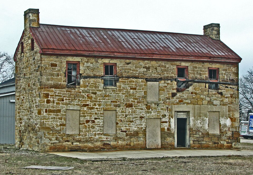
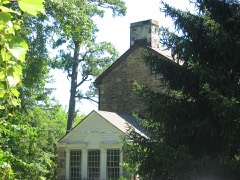
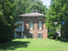
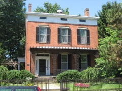
“The Mary Worthington Macomb House is a historic residence in southern Chillicothe, Ohio, United States. Located on South Paint Street, the house sits on the banks of Paint Creek.”
Wikipedia article Mary Worthington Macomb House, CC BY-SA 4.0.
one of 22 National Register listings in Ross County · listed in 1976 · category: Building.
National Register reference number.76001525- the number the National Park Service assigned this property when it was listed, and the key its nomination file is catalogued under at the National Archives.
Fires near this property
27 since 2007
Regional context, not property-specific
evidence. The
federal wildfire occurrence database
lists 27 fires within 5 miles of Macomb, Mary Worthington, House between
2007 and 2020, burning about 58 acres in total. None started naturally. 1 was recorded as arson.
Distance is straight-line from the map coordinates, so a fire counted
here may appear on a neighbouring settlement's page as well.
Reported cause
Fires
Debris and open burning
14
Missing data/not specified/undetermined
6
Recreation and ceremony
3
Power generation/transmission/distribution
2
Arson/incendiarism
1
Smoking
1
The most recent of
them, most recent first, with the day each was reported and the service
that recorded it.
Regional context, not property-specific
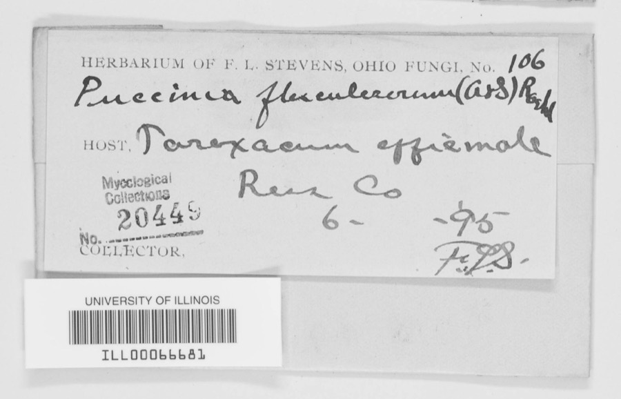
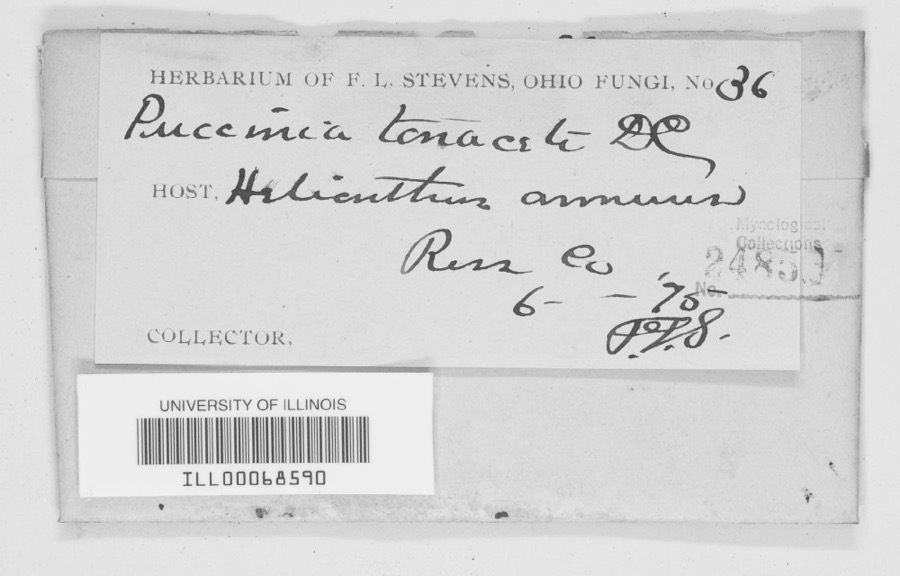
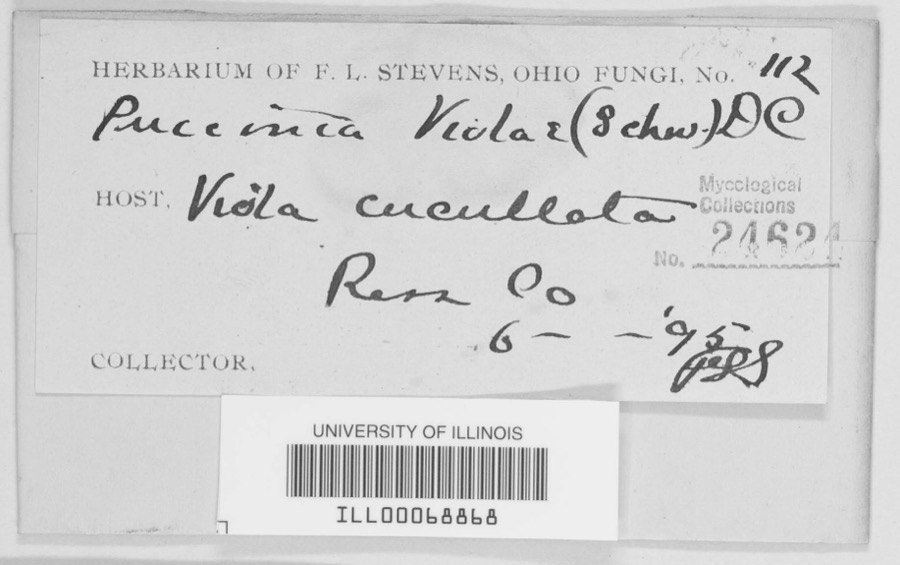
evidence. Museums hold 1,841 specimens
collected within 10 miles of Macomb, Mary Worthington, House between 1874 and
1975: 1,348 Animalia, 397 Fungi, 84 Plantae, 8 Protozoa, 3 Unrecorded, 1 Chromista. 12 distinct Species records are shown.
Collected by A. C. Kinsey, A. C. Lincoln, A. Cronquist and others. Each is a
physical object with a catalogue
number, and each entry opens the museum's record. This is what was
collected and kept, not a survey of what lives here - nothing can be
concluded from a species being absent.
Regional context, not property-specific
evidence. The federal mineral resources record lists
4 workings within 5 miles of Macomb, Mary Worthington, House: 3 past producers, 1 producer.
1 still produces. What was taken out: Sand and Gravel, Construction. Distance is straight-line from the
map coordinates, so a quarry counted here may appear on a neighbouring
settlement's page as well.
Regional context, not property-specific
evidence. The National Weather Service names
Chillicothe, the town this property stands in, in 92 storm reports between 1995 and 2025: 56 thunderstorm wind, 24 hail, 6 flood, 3 lightning.
The reports record 1 death and 6 injuries. Each account below is quoted exactly as the forecast office
filed it, from the NOAA Storm Events Database, and each date
opens the federal record of that event.
Problems with high water occurred across the county. A roof of a gas station on the west side of Chillicothe collapsed under the weight of the heavy rain.
No historic map-sheet match is published
for this property yet. That does not mean no map exists. This record needs
a coordinate-quality review before it can be joined to a sheet boundary.
Browse the county's mapped places while that work is
pending.
From the nomination file
4,234 words on record
When this property was proposed for the
National Register, someone wrote the case for it: what the building is,
and why it matters. That document is a federal record in the public domain.
It is quoted below word for word, never summarised. The text was read off the scanned case file by machine, so the
occasional stray character is the recogniser's and the 1970s
typewriter's.
Description of the property
All of the windows have radiating sawn stone lintels with Keystones and CONDITION DATE EXCELLENT DETERIORATED REGISTER XALTERED 1975 UNALTERED RECEIVED design. NATIONAL XORIGINAL SITE also flanks the fireplaces on the second floor. fireplace in the south room are floor to ceiling cabinets of pre-Victorian house, twenty (20) by forty-nine (49) feet, has a rectangular plan with The Mary Worthington Macomb House now stands on a 5.3l acre parcel GOOD hallway is flanked by rooms of equal size.Dignified pre-Victorian The structural integrity of the original exterior is not affected by the The main entrance facing eastward is centered in the front facade:.
Structurally the house is only altered by a one story metal leanto CHECK ONE (35) acre tract bordered by Paint Creek, when sold to Governor Thomas cornice with plain fascia and return. straddle the ridge on either end of the house. -UNEXPOSED The eave trim is _RUINS MOVED has a transom light and plain wooden sides. Situated near Paint Creek, the Mary Worthington Macomb House 1s characterized by a plain boxed cornice. The raking trim consists of a The main door is headed by a radiating wooden lintel. The door also shed, which could easily be dismantled without injury to the house. of land, in a lumber yard. The house was situated upon a thirty-five The The second floor plan follows that of the ground floor. A central XFAIR Floor to ceiling cabinetry sawn stone slipsills.
Two single stack chimneys flush with the gables, structures are no longer in evidence. shed which runs the length of the back and north side of the building. a two story building of broken course cut sandstone construction. house were listed with the Mary Worthington Macomb House in Ross County mantles are found in the second floor rooms.
during that time! owned prior to 1797 by the Virginian, Nathanial Massie, who founded Territory in 1800 and the capital of Ohio in 1803. 1600-1699 THEATER PHILOSOPHY BUILDER/ARCHITECT XEXPLORATION/SETTLEMENT 1700-1799 PERIOD SCULPTURE ARCHEOLOGY-HISTORIC MILITARY XARCHITECTURE ART X1800-1899 TRANSPORTATION AGRICULTURE XCOMMERCE and appurtenances" to Governor Worthington. LITERATURE home of Thomas Worthington, Ohio's first Senator and sixth Governor. The significance of the Mary Worthington Macomb House is threefold. LAW INDUSTRY buildings of consequence in Chillicothe, former capital of the Northwest Territory and first capital of Ohio.
the house is a rare example of architecture common to the earliest James Emmitt who bought the property in the mid 18oo's stated in Hector Sandford and Nathan Gregg purchased the property Feb. 15, l18l3. _COMMUNICATIONS _ENGINEERING Gazette of February 29,1866 reported that the house was standing and - CONSERVATION _EDUCATION The land upon which the Mary Worthington Macomb House stands-was to the infancy of industry and commerce in Ohio and the Midwest.Third, -1500-1599 - 1400-1499 _ECONOMICS occupied by Hector Sandford in l8ll. increase from 2,250.00 paid by Sandford and Nathan Greg8,February15,1813 -1900- RELIGION COMMUNITY PLANNING Ohio and the Old Northwest Territory. Second, the house is tied directly It is not known precisely when the house was constructed.
Sandford had emigrated to the Scioto Valley in 1799 and was one of the First, the house has historic associations with the early settlers of prices as recorded in the earliest deeds pertinent to the house show an INVENTION ARCHEOLOGY-PREHISTORIC thirty-five acre tract to John McCoy, a pioneer merchant and pork packer. The Scioto the same tract of land. This indicates that the edifice was constructed first ministers in Chillicothe. performed the carpentry and cabinety work in the building of Adena, the Third, On September 10,1813,Sandford and Gregg sold the property ina Form No. 10-300a (Rev.
Quoted from the National Register nomination
for reference 76001525, 24 pages, held by the National Archives in Record
Group 79. See the
catalogue record.
Listed places nearby
6 within 8 miles
Other National Register properties close
enough to walk or drive between, ordered by distance from this one. Both
positions come from the same geocoding pass that matched these properties
to their map sheets.
Listing record. National Park Service National Register of Historic Places, listed-properties dataset, current to 2026-05-22.
Map join. Address geocoded through the United States Census geocoder, then tested against the published boundary of every sheet in the USGS Historical Topographic Map Collection.
How this page is made. Listing fields come from federal records; map-sheet coverage is a labelled coordinate-to-boundary calculation, not a source-field claim.
Wildfire. Short, Karen C. 2022. Spatial wildfire occurrence data for the United States, 1992-2020 [FPA_FOD_20221014]. 6th Edition. Fort Collins, CO: Forest Service Research Data Archive. https://doi.org/10.2737/RDS-2013-0009.6 Collected with United States Government funding and usable without additional permissions or fees.
Specimens. Global Biodiversity Information Facility (GBIF), https://www.gbif.org/. Only records licensed CC0 or CC BY are used. Records licensed CC BY-NC are excluded because this site carries advertising. Images are checked individually and any whose licence is non-commercial, no-derivatives or unreadable is refused.
Mines and quarries. USGS Mineral Resources Data System (MRDS) https://mrdata.usgs.gov/mrds/ A work of the United States government, no copyright under 17 U.S.C. 105.
Storms. NOAA National Centers for Environmental Information, Storm Events Database https://www.ncei.noaa.gov/stormevents/ A work of the United States government, no copyright under 17 U.S.C. 105. Narratives are quoted verbatim from the National Weather Service report and are not edited or summarised.
 Block
Block