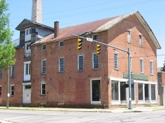
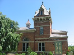
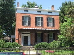
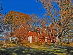
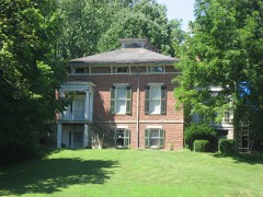
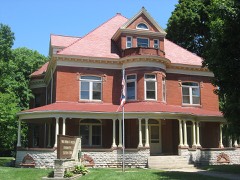
Listed on the National Register of Historic Places in
1979. A historic map-sheet match is not published yet. The record needs a coordinate-quality review before it can be joined to a sheet boundary.
From the record
one of 22 National Register listings in Ross County · listed in 1979 · category: Building.
National Register reference number.79001931- the number the National Park Service assigned this property when it was listed, and the key its nomination file is catalogued under at the National Archives.
Fires near this property
25 since 2002
Regional context, not property-specific
evidence. The
federal wildfire occurrence database
lists 25 fires within 5 miles of Majestic Theatre between
2002 and 2020, burning about 52 acres in total. None started naturally. 1 was recorded as arson.
Distance is straight-line from the map coordinates, so a fire counted
here may appear on a neighbouring settlement's page as well.
Reported cause
Fires
Debris and open burning
13
Missing data/not specified/undetermined
5
Recreation and ceremony
3
Power generation/transmission/distribution
2
Arson/incendiarism
1
Smoking
1
The most recent of
them, most recent first, with the day each was reported and the service
that recorded it.
Regional context, not property-specific
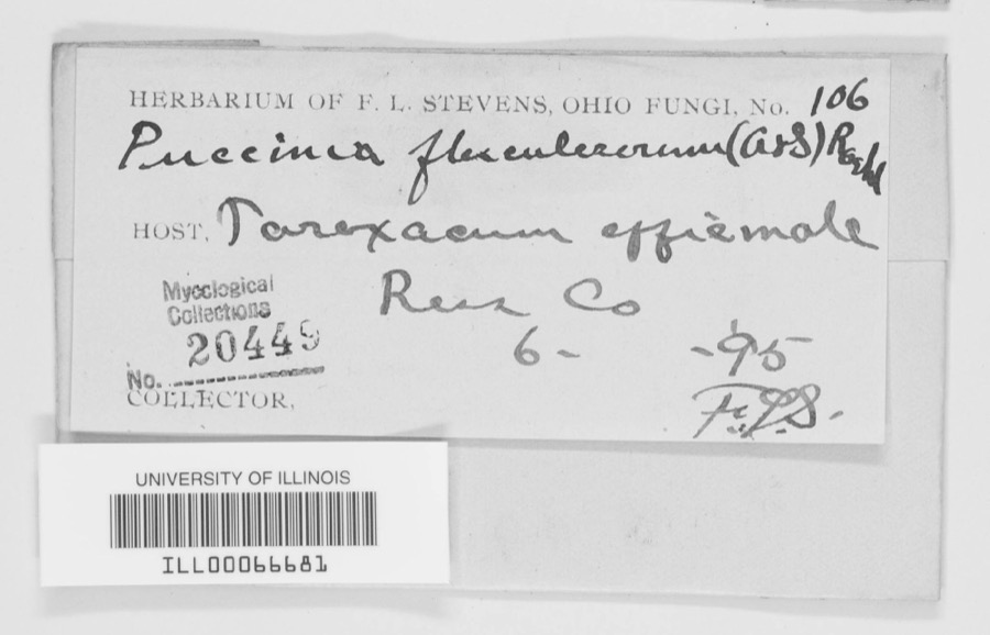
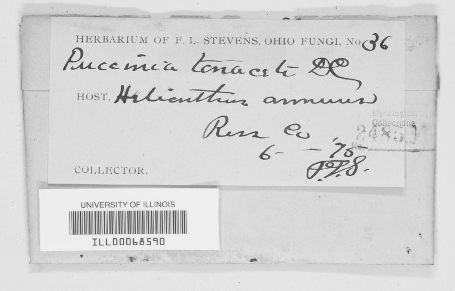
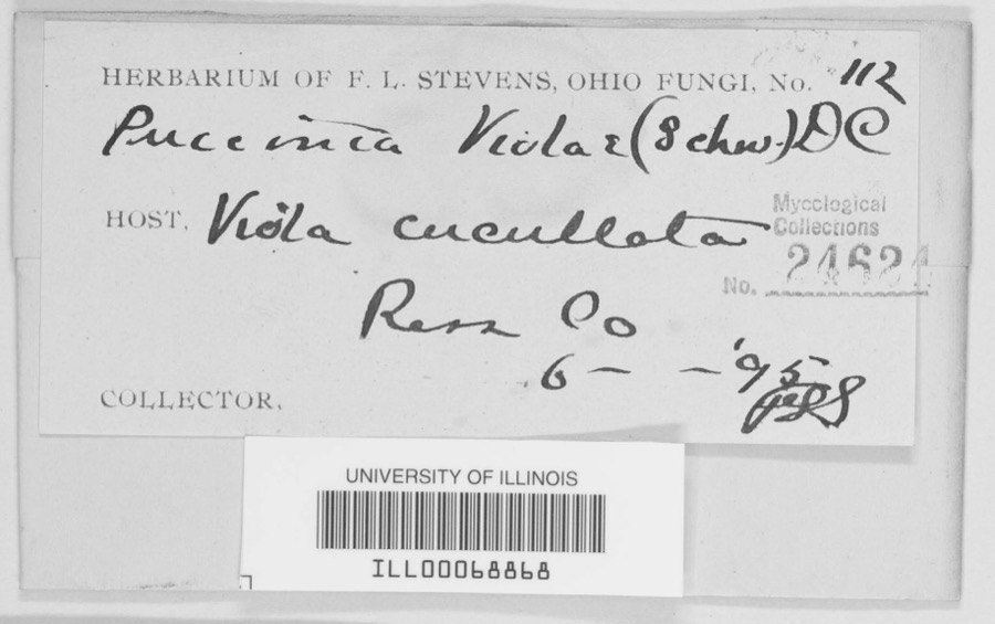
evidence. Museums hold 1,785 specimens
collected within 10 miles of Majestic Theatre between 1874 and
1975: 1,290 Animalia, 397 Fungi, 86 Plantae, 8 Protozoa, 3 Unrecorded, 1 Chromista. 12 distinct Species records are shown.
Collected by A. C. Kinsey, A. C. Lincoln, A. Cronquist and others. Each is a
physical object with a catalogue
number, and each entry opens the museum's record. This is what was
collected and kept, not a survey of what lives here - nothing can be
concluded from a species being absent.
Regional context, not property-specific
evidence. The federal mineral resources record lists
4 workings within 5 miles of Majestic Theatre: 3 past producers, 1 producer.
1 still produces. What was taken out: Sand and Gravel, Construction. Distance is straight-line from the
map coordinates, so a quarry counted here may appear on a neighbouring
settlement's page as well.
Regional context, not property-specific
evidence. The National Weather Service names
Chillicothe, the town this property stands in, in 92 storm reports between 1995 and 2025: 56 thunderstorm wind, 24 hail, 6 flood, 3 lightning.
The reports record 1 death and 6 injuries. Each account below is quoted exactly as the forecast office
filed it, from the NOAA Storm Events Database, and each date
opens the federal record of that event.
Problems with high water occurred across the county. A roof of a gas station on the west side of Chillicothe collapsed under the weight of the heavy rain.
No historic map-sheet match is published
for this property yet. That does not mean no map exists. This record needs
a coordinate-quality review before it can be joined to a sheet boundary.
Browse the county's mapped places while that work is
pending.
From the nomination file
5,783 words on record
When this property was proposed for the
National Register, someone wrote the case for it: what the building is,
and why it matters. That document is a federal record in the public domain.
It is quoted below word for word, never summarised. The text was read off the scanned case file by machine, so the
occasional stray character is the recogniser's and the 1970s
typewriter's.
Description of the property
present day Yoctangee Lake. In 1875 the authors of the Ross County Atlas noted that, both cities being level and regularly laid out. But the natural scenery is more architectural styles as Greek revival, Early Gothic Revival, Italianate, Second Empire, 1. Canal Warehouses; Water and Yoctangee Boulevard: These two (about sixty by XALTERED the first one hundred settlers.At that time the settlement consisted of a tavern, River and Paint Creek representing in this case the Delaware and Schuykill Rivers LRUINS Form No. 10-300a (Rev.
10-74) UNITED STATES DEPARTMENT OF THE INTERIOR FOR NPS USE ONLY NATIONAL PARK SERVICE NATIONAL REGISTER OF HISTORIC PLACES INVENTOR Y -- NOMINATION FORM DATE ENTERED CONTINUATION SHEET ITEM NUMBER 7 Water Street Commercial Buildings; South side of Water Street on the first floor, rectangular double-hung sash windows (many with the denticular cornice and a gabled roof. arate building circa 1870, this structure possesses unusual window treat- center is a tall round-headed window divided into four sections at the In the late 19th Century, the building housed Reinhard Wissler's American dignitaries as Carl Schurz and General Franz S1gel visited their tween 1825 and 1850.
The house has a rectangular plan with the short side PAGE Chillicothe Business District original six lights over six) on the second floor, a paneled frieze, Water Street was once Chillicothe's main business area.An old pre hip roof.These buildings are still in use and are in good condition. frieze is paneled and the cornice has alternating brackets and dentils. example of a variety of Pre Civil War townhouse built in Chillicothe be- to permit the unloading of high wagons and canal boats.Windows and door- RECEIVED SEP 19 1978 large multi-paned windows similar to those found in the same stores today.
The historic business section of Chillicothe is situated on land which was United States, March 1, 1784 by the State of Virginia for the purpose of satisfying land warrants held by Revolutionary veterans. Colonel Nathaniel Massie, a native of Goochland County, Virginia, made the first fertility and beauty of the area. This induced a colony of Presbyterians under the In the following August, 1796, Massie laid out Chillicothe three miles to the became the seat of government for the eastern section of the Northwest Territory in to Chillicothe where it remained until 1816. At that time Columbus was named the developed, so did the population of the town. Citizenry grew in number from 1,200 in 1807 to over 11,000 in 1890. Chillicothe was incorporated as a city, April 9, 1838.
the "Concert Halle" and German newspaper. Zane's trace and the Ohio and Erie Canal which linked Lake Erie 1700-1799 1500-1599 LAW ART ARCHEOLOGY-HISTORIC 1900- BUILDER/ARCHITECT PERIOD SIGNIFICANCE Midwest.
AGRICULTURE TRANSPORTATION THEATER INDUSTRY SCULPTURE MILITARY MUSIC XPOLITICS/GOVERNMENT LITERATURE ARCHEOLOGY-PREHISTORIC XARCHITECTURE _EXPLORATION/SETTLEMENT _1400-1499 _COMMUNICATIONS _ENGINEERING X.COMMERCE _CONSERVATION reminders of the diverse immigrant groups and their rich old world cultures survive _PHILOSOPHY permanent capital and the state government moved there.Chillicothe not only attracted _1600-1699 _ECONOMICS formerly part of the Virginia Military District.The District was ceded to the _RELIGION on August 20,1798 as the sixth county formed in the Northwest Territory.Chillicothe land surveys in what is now Ross County in 1792.Massie made glowing reports of the Its early importance is revealed by the 1830 census,wherein Chi1licothe's population Chillicothe's population of 7,100 contained 1,266 Germans, and 286 Irish.
Tangible In the early and mid 19th Century Chillicothe was an important trade center on at "Prairie Station".
Quoted from the National Register nomination
for reference 79001931, 69 pages, held by the National Archives in Record
Group 79. See the
catalogue record.
Listed places nearby
6 within 8 miles
Other National Register properties close
enough to walk or drive between, ordered by distance from this one. Both
positions come from the same geocoding pass that matched these properties
to their map sheets.
Listing record. National Park Service National Register of Historic Places, listed-properties dataset, current to 2026-05-22.
Map join. Address geocoded through the United States Census geocoder, then tested against the published boundary of every sheet in the USGS Historical Topographic Map Collection.
How this page is made. Listing fields come from federal records; map-sheet coverage is a labelled coordinate-to-boundary calculation, not a source-field claim.
Wildfire. Short, Karen C. 2022. Spatial wildfire occurrence data for the United States, 1992-2020 [FPA_FOD_20221014]. 6th Edition. Fort Collins, CO: Forest Service Research Data Archive. https://doi.org/10.2737/RDS-2013-0009.6 Collected with United States Government funding and usable without additional permissions or fees.
Specimens. Global Biodiversity Information Facility (GBIF), https://www.gbif.org/. Only records licensed CC0 or CC BY are used. Records licensed CC BY-NC are excluded because this site carries advertising. Images are checked individually and any whose licence is non-commercial, no-derivatives or unreadable is refused.
Mines and quarries. USGS Mineral Resources Data System (MRDS) https://mrdata.usgs.gov/mrds/ A work of the United States government, no copyright under 17 U.S.C. 105.
Storms. NOAA National Centers for Environmental Information, Storm Events Database https://www.ncei.noaa.gov/stormevents/ A work of the United States government, no copyright under 17 U.S.C. 105. Narratives are quoted verbatim from the National Weather Service report and are not edited or summarised.
 Block
Block