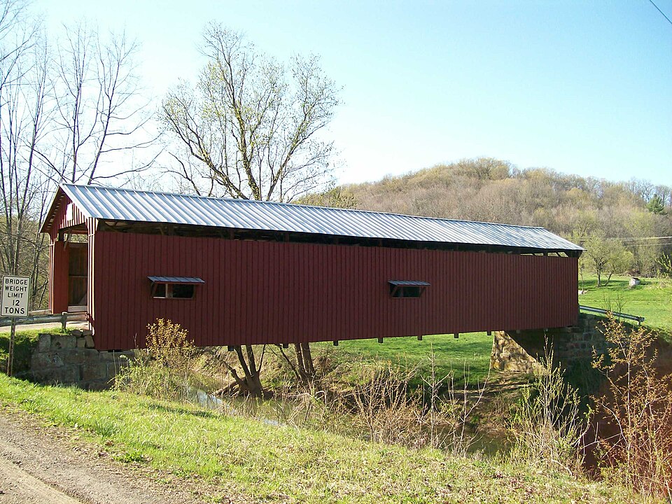
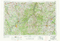
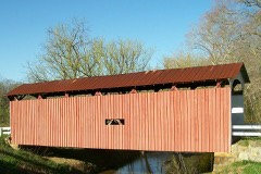
Built in 1886 in the Burr Truss. Listed on the National Register of Historic Places in
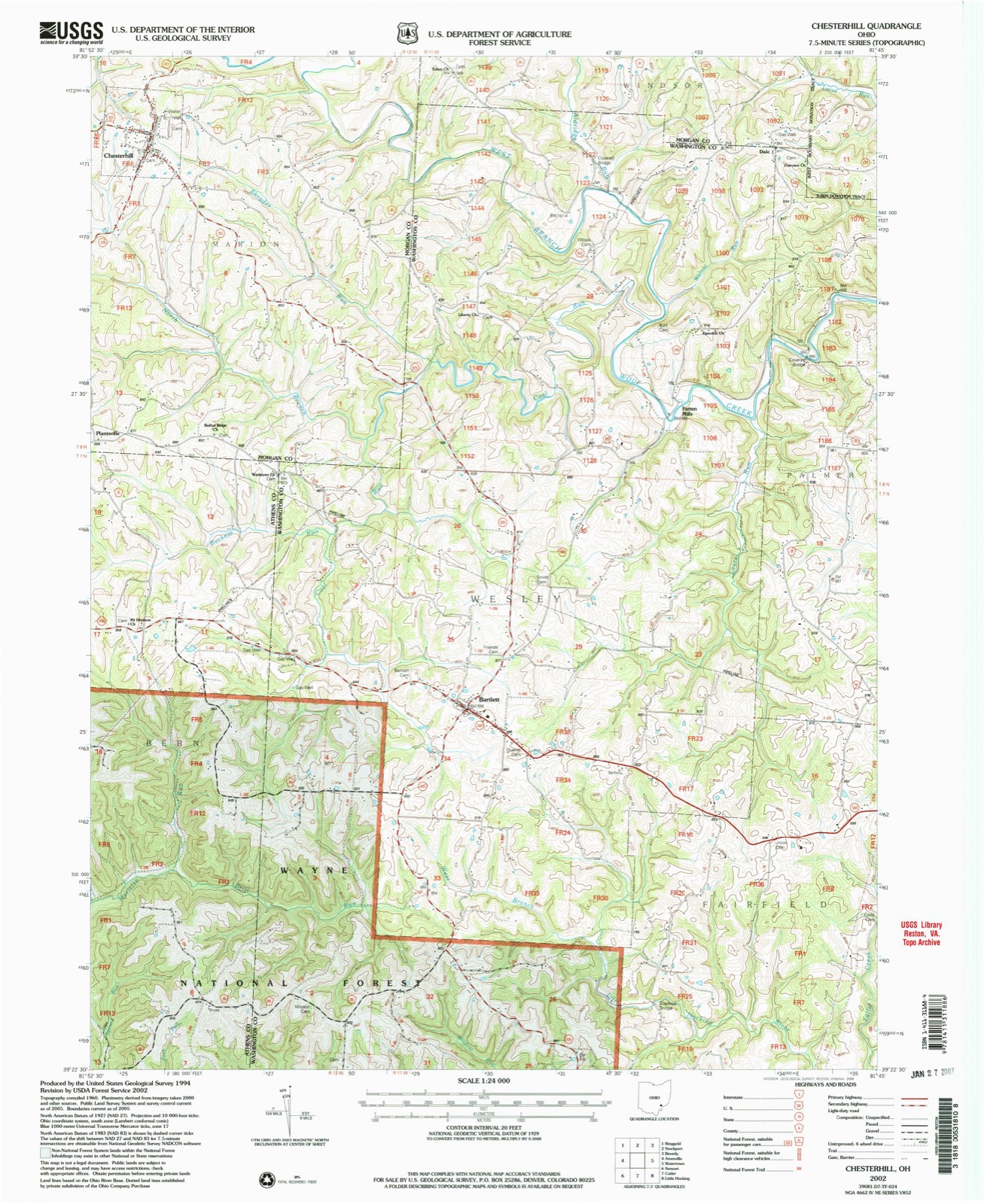
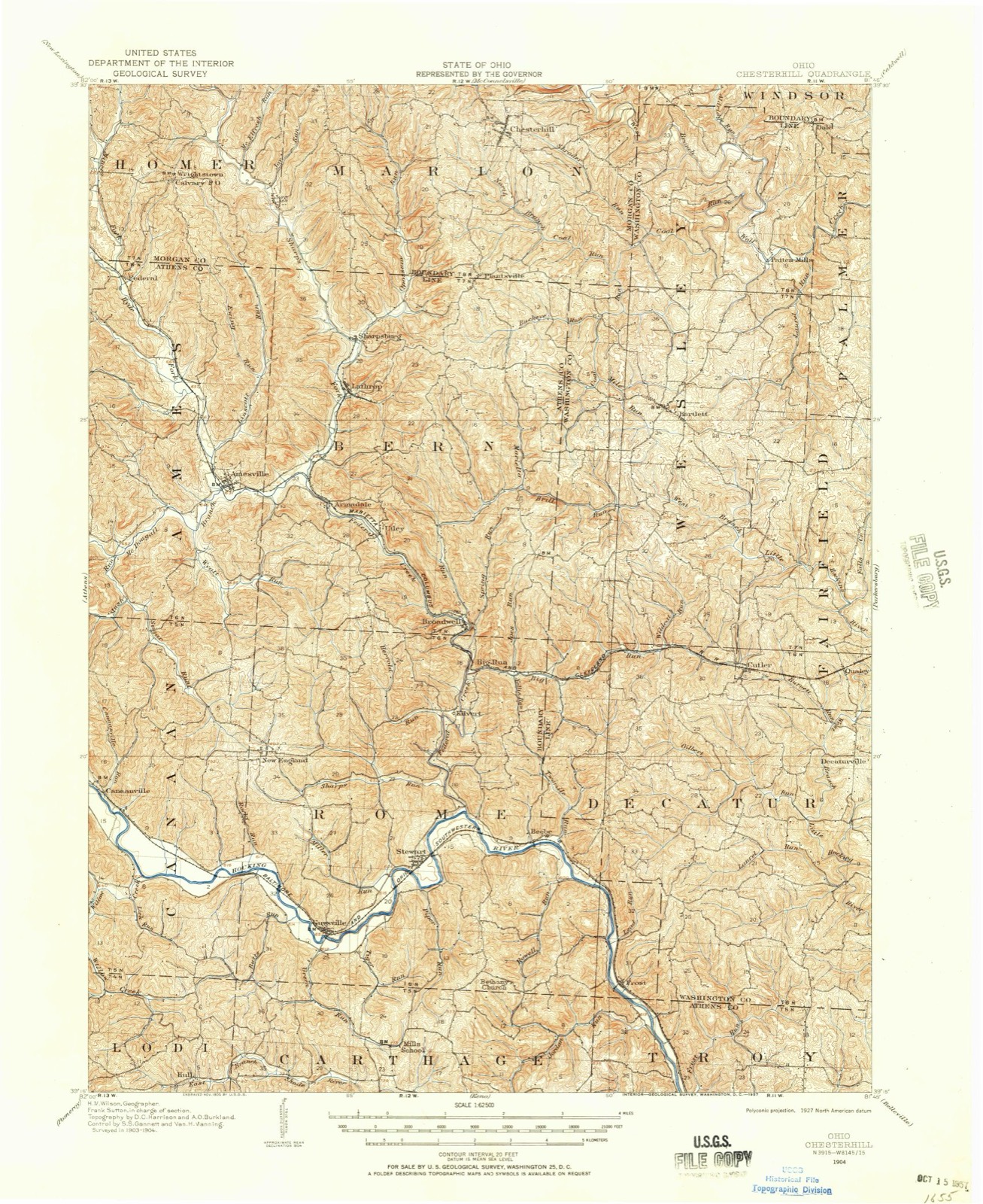
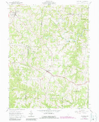
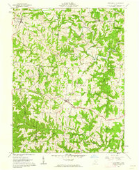
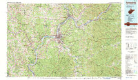
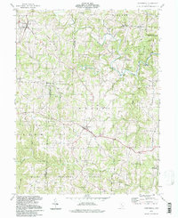
1976. 14 historic map sheets show this location, the earliest from 1904.
From the record
“The Shinn Covered Bridge is a historic wooden covered bridge in the southeastern part of the U.S. state of Ohio. Located in the countryside northeast of Bartlett in Washington County, this single-span truss bridge was built in 1886 by local carpenter Charles T.”
Wikipedia article Shinn Covered Bridge, CC BY-SA 4.0.
one of 39 National Register listings in Washington County · listed in 1976 · category: STRUCTURE · significant for ENGINEERING; TRANSPORTATION · built in 1886, Burr Truss · one of 1 National Historic Landmarks in Washington County.
National Register reference number.76001544- the number the National Park Service assigned this property when it was listed, and the key its nomination file is catalogued under at the National Archives.
Then and now
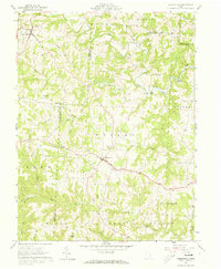
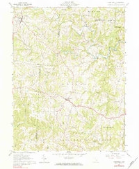
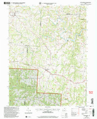
1904 to 2002
The ground this property stands on, surveyed
98 years apart. Drag the handle to wipe between them. Both sheets are
United States Geological Survey originals; neither has been altered.
19042002
The ground it stands on
16,247 words
The chapter on Wesley Township in History of Washington County, Ohio, published 1881 names Bartlett. This is what it says, exactly as the scans read.
James King was born in Pennsylvania in 1818. He removed to Morgan county, Ohio, in 1824. In 1841 he was married to Deborah Stephen, born in Berks county, Pennsylvania, in 1819. In 1843 he came to this county and settled in Wesley, where he now resides. He has had a family of eleven children, eight of whom are living, viz: Rebecca, wife of A. W. Naylor, banker, Des Moines, Iowa; Nora, wife of Professor D. R. Moore, of Mahaska, Iowa; Anna M., Ida A., wife of J. C. Picket; James S., a Methodist minister; Mary, wife of Professor J. Wolf; Helen A. and Charles. Mr. King has served nine years as township trustee; was elected three times as land appraiser of the township; was one of the two who first advocated the establishing of Bartlett academy, of which he has since been a trustee. He became a member of the Masonic order in 1852, and was one of the charter members of Bartlett Lodge, No. 293. He has always been an active temperance man.
The post office is now in Pleasanton, and was established some time before Plymouth was laid out, and was called Bartlett post office, in honor of Amos Bartlett, who was instrumental in having an office established at this point, and who was the first postmaster.
Regional context, not property-specific
evidence. The
federal wildfire occurrence database
lists 1 fire within 5 miles of Shinn Covered Bridge between
2010 and 2010, burning about 0 acres in total. None started naturally. None was recorded as arson.
Distance is straight-line from the map coordinates, so a fire counted
here may appear on a neighbouring settlement's page as well.
Reported cause
Fires
Debris and open burning
1
The most recent of
them, most recent first, with the day each was reported and the service
that recorded it.
Regional context, not property-specific
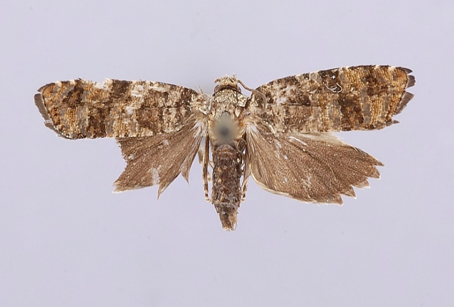
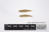
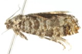
evidence. Museums hold 147 specimens
collected within 10 miles of Shinn Covered Bridge between 1927 and
1975: 127 Animalia, 15 Fungi, 5 Plantae. 12 distinct Species records are shown.
Collected by Albaugh, D. W. (Douglas W.), Albaugh, Douglas W, Cutler & Wood, L. and others. Each is a
physical object with a catalogue
number, and each entry opens the museum's record. This is what was
collected and kept, not a survey of what lives here - nothing can be
concluded from a species being absent.
Regional context, not property-specific
evidence. The National Weather Service names
Bartlett, the town this property stands in, in 14 storm reports between 1996 and 2026: 6 hail, 4 thunderstorm wind, 3 flash flood, 1 tornado.
No death or injury is recorded in these reports. Each account below is quoted exactly as the forecast office
filed it, from the NOAA Storm Events Database, and each date
opens the federal record of that event.
Scattered locations throughout the county had trees or large branches blown down. Nine of the 10 power substations in the county were in the dark. Nearly 25,000 customers lost electricity. The public infrastructure damage assessment was around $975,000.
Widespread flash flooding occurred across southern Washington County during the predawn hours. Widespread street flooding occurred in Belpre and Marietta with basement flooding. One resident reported 2 feet of water in their basement. ||Near the mouth of Mill Branch with the Little Hocking River, vehicles were flooded and water got into several homes. Also along the Little Hocking River, 2 cars were submerged along Oxbow Road. The water was 2 to 4 feet deep in spots. An 18 year old female from 1 of the vehicles made it safely out, but her truck was submerged in a soy bean field off the road. Minor flooding occurred in a school west of Fleming.
A brief EF0 tornado occurred off of Tullis Road, southwest of Bartlett. The estimated strongest wind gust was around 85 mph.||Several trees were uprooted and numerous large branches were snapped. One house and an outbuilding were damaged, mainly to the roof and siding. Also, a small aluminum boat was thrown from the edge of the pond, 140 yards and wrapped around a tree.
United States Geological Survey topographic
sheets whose coverage includes this point. Matched by geocoding the centre of Bartlett, because the National Register records a descriptive location rather than a street address, then
testing that coordinate against the published boundary of every sheet.
When this property was proposed for the
National Register, someone wrote the case for it: what the building is,
and why it matters. That document is a federal record in the public domain.
It is quoted below word for word, never summarised. The text was read off the scanned case file by machine, so the
occasional stray character is the recogniser's and the 1970s
typewriter's.
Description of the property
Washington County, Ohio. This fine old covered span has vertical, high- boarded siding, a metal roof, straight portals and cut-stone abutments. with many different types of bridge construction, but finally hit upon this the Burr truss and is in quite good condition- CONDITION UNEXPOSED EXCELLENT RUINS X_UNALTERED The structure under consideration is a one-span wooden truss covered bridge The outward appearance of the Shinn Bridge has changed little over the This is known as the Shinn Bridge and is built on the Burr truss plan patented in 18o4 by Theodore Burr of New York State.Mr. Burr experimented with early bridge builders.
There are 2 small windows on the east side of the bridge CHECK ONE X_ORIGINAL SITE ship,2 miles south of SR 676 and l miles northeast of Pattens Mills, X.GOOD The height of the trusses is 13'10".The roadway width is l5' 10"and the spanning the west branch of Wolf Creek on township road 91 in Palmer Town- Renaissance period by Andrea Palladio, with the common kingpost type of wooden trusses.
In Burr's plan, these arches are made more rigid by fram- side of the bridge may have been cut out after the bridge was built, but design, where he combined the wooden arch first designed in the post- DATE bridges in his rather short career and his truss type became quite popular trusses are all single timbers.The single layer flooring is laid cross- we are not certain of this.The Shinn Bridge is an excellent example of overall width is 18'.The overhead clearance is l2'. AREAS OF
Statement of significance
Ohio Covered Bridge Association, this old span was built about 1886 by Charles opposite side of the creek was owned by Martin Baker, a cooper who lived on bought by David W. Shinn who had settled in Palmer Township sometime before father, Charles T. Shinn, was a carpénter by trade, and he built the bridge, The Shinn Covered Bridge, a lovely old span in a remote, rucal setting, was therefore it is not heavily-traveled or as well-known as some of our other 1700-1799 1500-1599 ART COMMERCE SIGNIFICANCE INDUSTRY AGRICULTURE ARCHITECTURE ARCHEOLOGY-HISTORIC PERIOD THEATER MILITARY X_ENGINEERING _POLITICS/GOVERNMENT _COMMUNICATIONS _EXPLORATION/SETTLEMENT assisted by several other men from neighboring families.
X.TRANSPORTATION LITERATURE Historic swollen waters of Wolf Creek.Her older brather's quick action saved her _EDUCATION _CONSERVATION and the only Burr truss in Washington County.It is an excellent example of 1838 His granddaughter,Mrs.Blanche Shinn Russell, told the story of the According to a history of the Shinn Bridge in the Record Books of the Southern family and the boat struck the bank too hard and she was thrown out into the roofed bridges.It is one of only thirteen Burr arch trusses left in Ohio this early American bridge truss design. years old, she was crossing the creek in a rowboat with other members of her -1600-1699 times of high water, impossible In 1885, when Mrs.Russell was about three -1400-1499 BUILDER/ARCHITECT Chas T.
Shinn _INVENTION _ECONOMICS _PHILOSOPHY _SCULPTURE _RELIGION north end of the bridge was first owmed by Douglas Putnam and the land on the _1900- -MUSIC COMMUNITY PLANNING -LAW ARCHEOLOGY-PREHISTORIC This was always inconvenient and in from drowning.Very soon after this near tragedy, the frequent users of the ford decided that a bridge would be & practical improvement. Mrs.Russell's the site of the present covered bridge.
Quoted from the National Register nomination
for reference 76001544, 19 pages, held by the National Archives in Record
Group 79. See the
catalogue record.
Listed places nearby
1 within 8 miles
Other National Register properties close
enough to walk or drive between, ordered by distance from this one. Both
positions come from the same geocoding pass that matched these properties
to their map sheets.
Listing record. National Park Service National Register of Historic Places, listed-properties dataset, current to 2026-05-22.
Map join. Address geocoded through the United States Census geocoder, then tested against the published boundary of every sheet in the USGS Historical Topographic Map Collection.
How this page is made. Listing fields come from federal records; map-sheet coverage is a labelled coordinate-to-boundary calculation, not a source-field claim.
Wildfire. Short, Karen C. 2022. Spatial wildfire occurrence data for the United States, 1992-2020 [FPA_FOD_20221014]. 6th Edition. Fort Collins, CO: Forest Service Research Data Archive. https://doi.org/10.2737/RDS-2013-0009.6 Collected with United States Government funding and usable without additional permissions or fees.
Specimens. Global Biodiversity Information Facility (GBIF), https://www.gbif.org/. Only records licensed CC0 or CC BY are used. Records licensed CC BY-NC are excluded because this site carries advertising. Images are checked individually and any whose licence is non-commercial, no-derivatives or unreadable is refused.
Storms. NOAA National Centers for Environmental Information, Storm Events Database https://www.ncei.noaa.gov/stormevents/ A work of the United States government, no copyright under 17 U.S.C. 105. Narratives are quoted verbatim from the National Weather Service report and are not edited or summarised.
 Block
Block