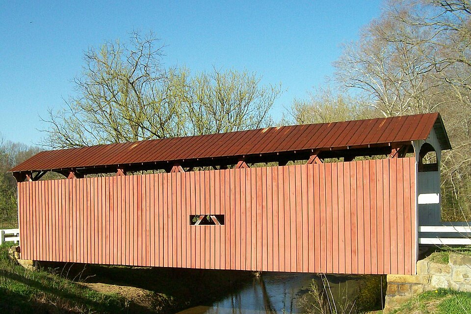
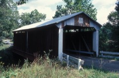
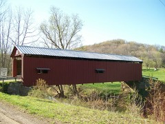
Built in 1878. Listed on the National Register of Historic Places in
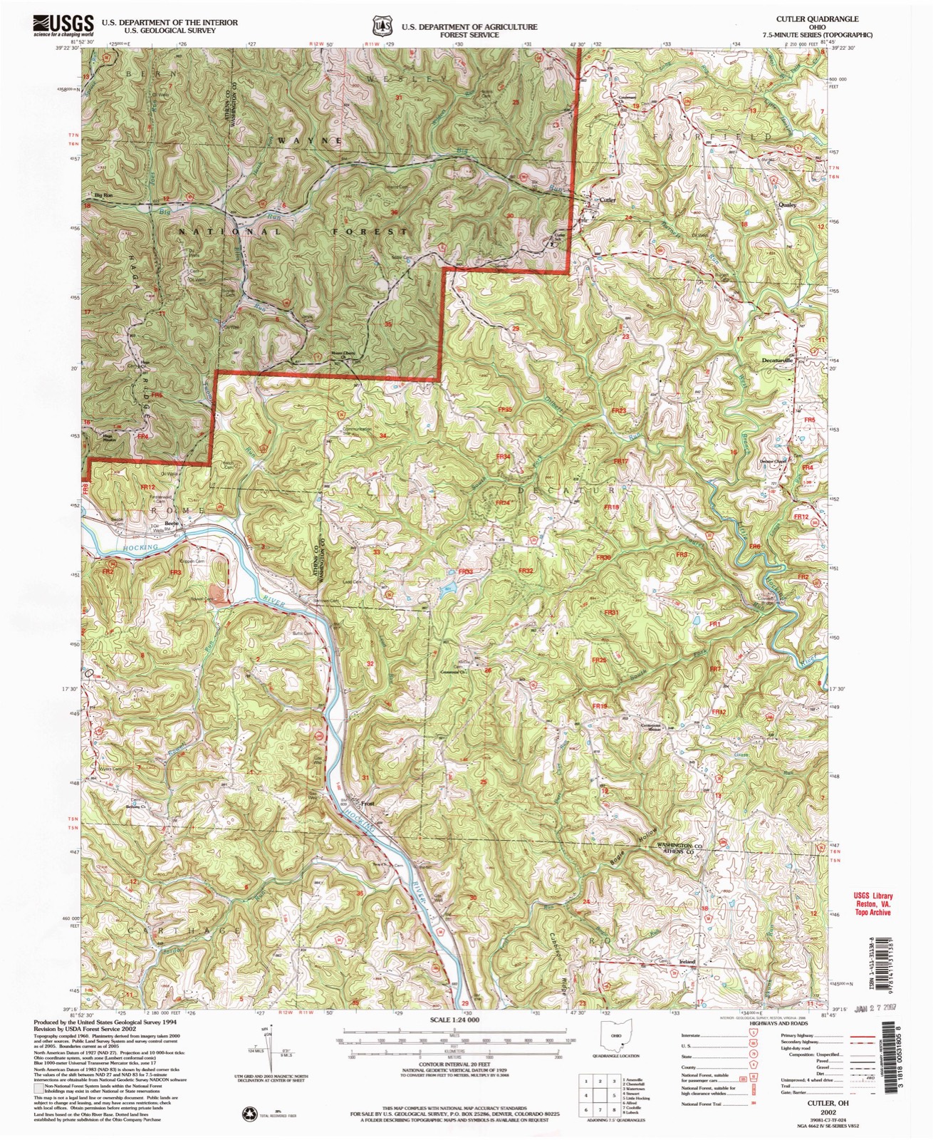
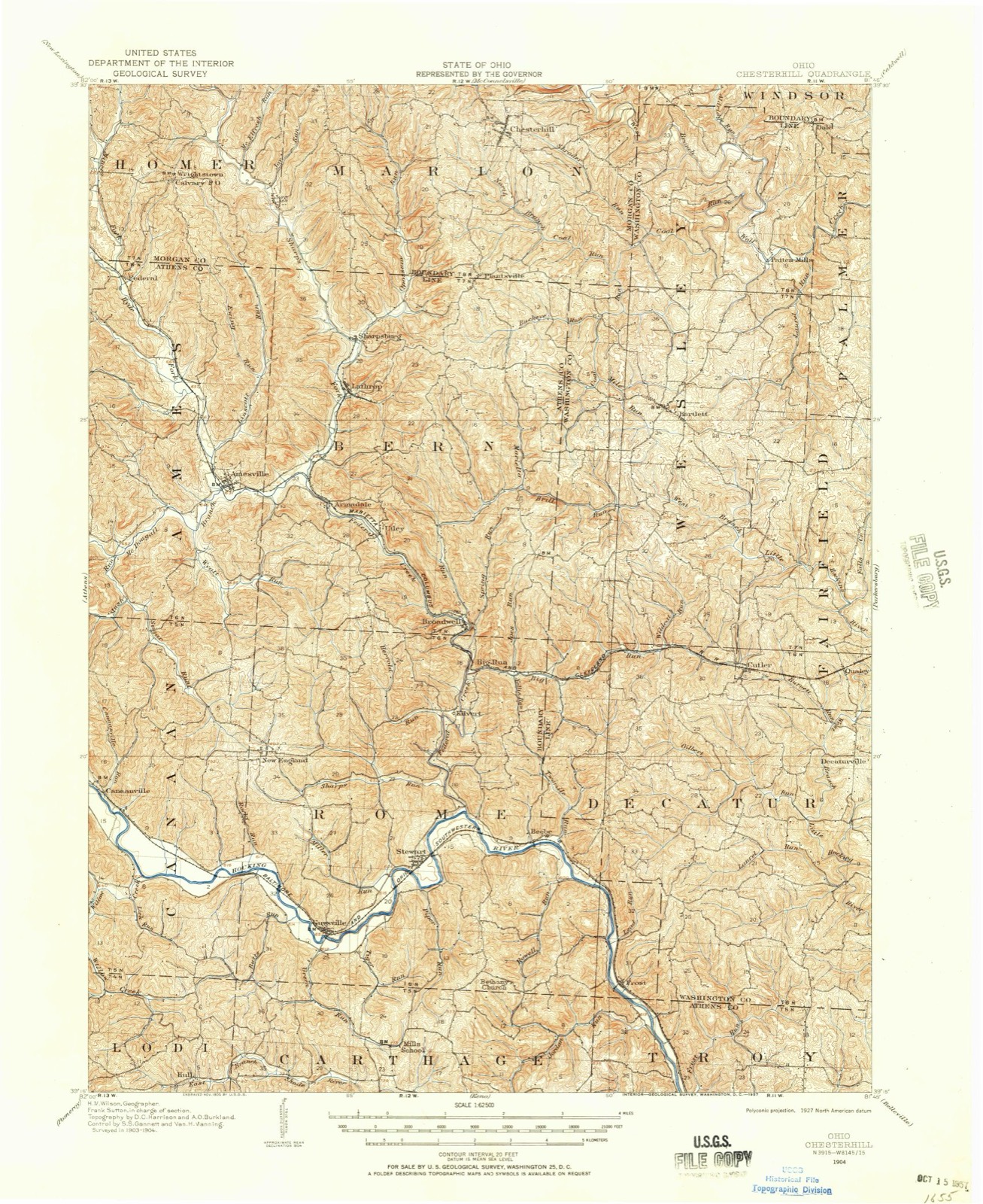
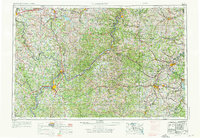
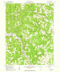
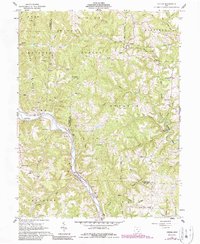
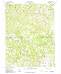
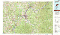
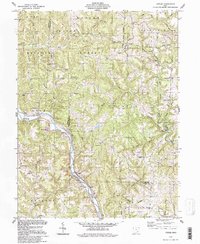
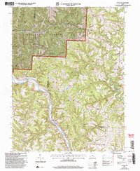
1975. 13 historic map sheets show this location, the earliest from 1904.
From the record
“The Root Covered Bridge is a historic wooden covered bridge in the southeastern part of the U.S. state of Ohio. Located off State Route 555 in far northern Decatur Township, Washington County, the bridge was built in 1878 in the Long truss mode of truss bridge construction.”
Wikipedia article Root Covered Bridge, CC BY-SA 4.0.
one of 39 National Register listings in Washington County · listed in 1975 · category: STRUCTURE · significant for ENGINEERING · built in 1878 · one of 1 National Historic Landmarks in Washington County.
National Register reference number.75001552- the number the National Park Service assigned this property when it was listed, and the key its nomination file is catalogued under at the National Archives.
Then and now
1904 to 2002
The ground this property stands on, surveyed
98 years apart. Drag the handle to wipe between them. Both sheets are
United States Geological Survey originals; neither has been altered.
The first services of this denomination were held in the house of Mrs. Philip Schrader's father, now where George Dunsmore lives, northeast part of section seventeen. About 1850 Jonathan Root was the leading member of this church, and Joshua Montgomery is remembered as the first minister. They now occupy the house built by the Methodist Episcopal society, near Decaturville, of which Henry Bennett and Lucius Root are the present trustees. This denomination also has another class which meets in the Methodist Episcopal church west of Fillmore. Both congregations are small and are supplied as missions. The present minister is Rev. George Geiger.
Decatur township was established November 30, 1820. The first settler, Joseph Lovdell, came in 181 6, soon followed by the Johnsons, Dufer, Fairchild, Bachelor, Dunn, Giddings and Ballard families who formed the "Lower Settlement" now known as Fillmore P. O. on the State road. The "Upper Settlement"' Decaturville P. O., was made soon after. The Methodist Episcopal Church first entered Decatur township, a log cabin being built in the eastern part of the township about 1840. The United Brethren began a society here before 1850, two classes holding services in the abandoned Methodist Episcopal buildings at Decaturville and west of Fillmore. The Presbyterian Church was organized in 1847, ^ building being erected in 1849 '^"^ rebuilt in 1856. A Baptist church (colored) was erected in 1856. The first flouring mill was erected by Hiram Fairchild about 1821, south of Fillmore. In this township lived Peter M. Garner, Creighton J. Loraine and Mordecai E. Thomas, whose abduction by Virginia officers in 1845 almost caused a war between the States of Ohio and Virginia,. A history of this celebrated case is found in Chapter VI.
Regional context, not property-specific
evidence. The
federal wildfire occurrence database
lists 5 fires within 5 miles of Root Covered Bridge between
2010 and 2016, burning about 5 acres in total. None started naturally. None was recorded as arson.
Distance is straight-line from the map coordinates, so a fire counted
here may appear on a neighbouring settlement's page as well.
Reported cause
Fires
Debris and open burning
4
Recreation and ceremony
1
The most recent of
them, most recent first, with the day each was reported and the service
that recorded it.
Regional context, not property-specific
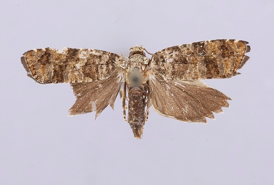
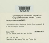
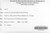
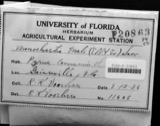
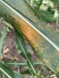
evidence. Museums hold 197 specimens
collected within 10 miles of Root Covered Bridge between 1902 and
1975: 161 Animalia, 29 Fungi, 7 Plantae. 12 distinct Species records are shown.
Collected by A. C. Kinsey, C. Weatherby, Cavanah, et al. and others. Each is a
physical object with a catalogue
number, and each entry opens the museum's record. This is what was
collected and kept, not a survey of what lives here - nothing can be
concluded from a species being absent.
United States Geological Survey topographic
sheets whose coverage includes this point. Matched by geocoding the centre of Decaturville, because the National Register records a descriptive location rather than a street address, then
testing that coordinate against the published boundary of every sheet.
When this property was proposed for the
National Register, someone wrote the case for it: what the building is,
and why it matters. That document is a federal record in the public domain.
It is quoted below word for word, never summarised. The text was read off the scanned case file by machine, so the
occasional stray character is the recogniser's and the 1970s
typewriter's.
Description of the property
The Root Bridge is a 6 panel Long truss, 70'6" in length with an over- portals and guardrails are a gleaming white. This is an attractive covered The original Excellent braces in the form of an x between wooden verticals. This truss enjoyed RECEIVED iron rods to prevent the bridge from washing away.The bridge has been The southeast lower chord is reinforced with steel I beams. during the past few years.It has received two coats of a rather bright great popularity for about lo years, then it was eclipsed by the Howe Fair The ends of the lower chords are anchored to the abutments by The upper and lower chords are 2-4" x 10"; the verticals are Long truss plan patented in 1830 by Colonel Stephan H.Long of the U.S.
Statement of significance
located upstream was used, but was often impassible due to high water. This small stream, the West Branch of the It. Hocking R. is known for Charles Meredith, well-known Washington County covered bridge builders. Ihe small community or qualey, just north of the covered bridge, nas cated to the preservation of this bridge.
They have twice painted the bridge with donated paint and labor, making these painting sessions into a social occasion with whole families, including dogs, partici- bridge with a new structure, and if this happens, the Qualey Covered DEC31 1974 Conservation Commerce Communications Military Architecture Transportation Theater losophy itarian Aboriginal Literature RECEIVED Religion/Phi Art Education Pre-Columbian Sculpture Music Landscape Science Urban Planning Invention Industry State Road and was heavily traveled.It is now county road 6. Social/Human- the Root Bridge is on was once the McConnellsville to Hills Landing Agriculture Bridge Club will be given the Root Bridge.
There are plans toby-pass this truss covered bridges in the county that were built by them.The road bridge as a reminder of their past. PERIOD (Check One or More as Appropriate) and grist and saw mill there. Before the bridge was built, a ford given its name to the Qualey Covered Bridge Club, an organization dedi- They seem to have preferred the Long truss and there are two other Long NATIONAL! 1888 its tendency to flood.The Root Bridge was built in l888 by Alta and
Quoted from the National Register nomination
for reference 75001552, 16 pages, held by the National Archives in Record
Group 79. See the
catalogue record.
Listed places nearby
4 within 8 miles
Other National Register properties close
enough to walk or drive between, ordered by distance from this one. Both
positions come from the same geocoding pass that matched these properties
to their map sheets.
Listing record. National Park Service National Register of Historic Places, listed-properties dataset, current to 2026-05-22.
Map join. Address geocoded through the United States Census geocoder, then tested against the published boundary of every sheet in the USGS Historical Topographic Map Collection.
How this page is made. Listing fields come from federal records; map-sheet coverage is a labelled coordinate-to-boundary calculation, not a source-field claim.
Wildfire. Short, Karen C. 2022. Spatial wildfire occurrence data for the United States, 1992-2020 [FPA_FOD_20221014]. 6th Edition. Fort Collins, CO: Forest Service Research Data Archive. https://doi.org/10.2737/RDS-2013-0009.6 Collected with United States Government funding and usable without additional permissions or fees.
Specimens. Global Biodiversity Information Facility (GBIF), https://www.gbif.org/. Only records licensed CC0 or CC BY are used. Records licensed CC BY-NC are excluded because this site carries advertising. Images are checked individually and any whose licence is non-commercial, no-derivatives or unreadable is refused.
 Block
Block