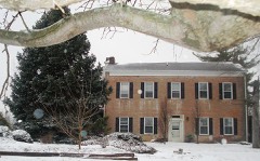
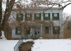
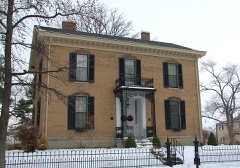
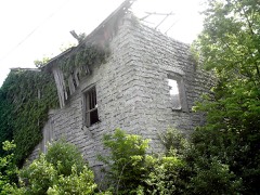
National Register reference number.77001045- the number the National Park Service assigned this property when it was listed, and the key its nomination file is catalogued under at the National Archives.
This seems to be the only record of the matter preserved in the books of the county commissioners. Union was the last township erected, except Hamilton. That was so made after its erection as a city and union with Ross vi lie.
Millville, in the edge of Ross township, where Williams' mill was located, was the principal trading point of a large community of settlers in the southern and western part of Hanover township. The first roads, therefore, naturally led in the direction of this point. From Hamilton to Millville the first road part of the way followed the dividing line of Hanover and Ross townships. From Millville to Reily it followed the windings of Indian creek. This highway was one of the roads which tapped the border counties of Indiana. Another road, but of less importance, led from Darrtown to Hamilton. In the early days an important highway was the State road that followed the dividing ridge between the Indian creek and Four Mile valleys, passing through Stillwell's and leading from Oxford to Hamilton.
Regional context, not property-specific
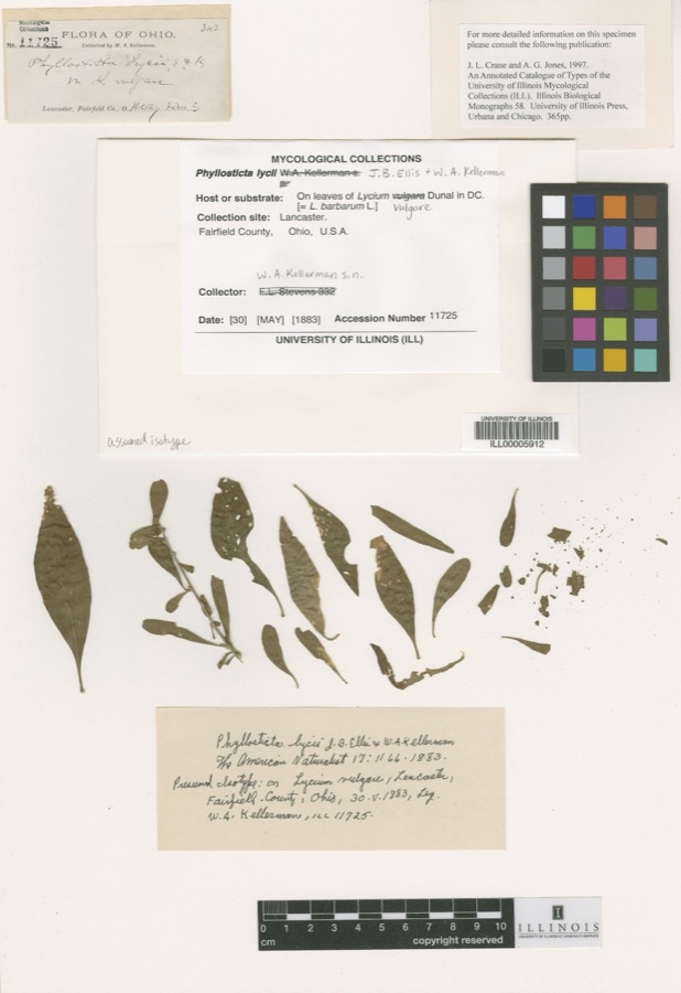
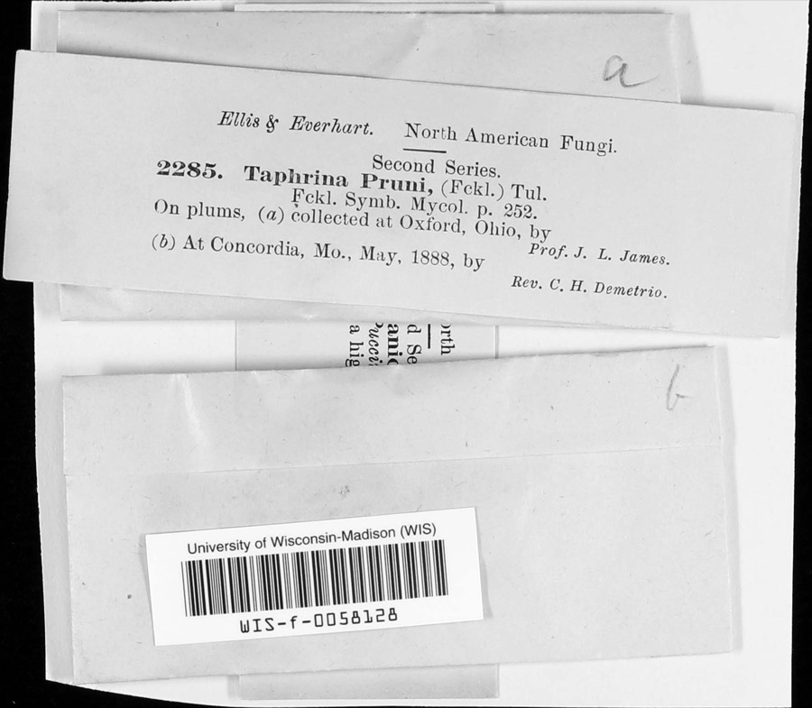
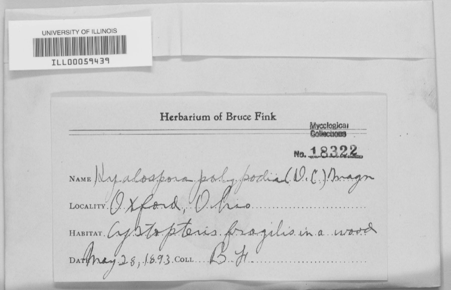
evidence. Museums hold 2,009 specimens
collected within 10 miles of Matthew Hueston House between 1835 and 1975: 892 Animalia, 861 Fungi, 187 Plantae, 55 Protozoa, 13 Unrecorded, 1 Chromista.
12 distinct Species records are shown.
Collected by ?, A. R. Gaufin, A. V. J.; W. G. S. and others. Each is a
physical object with a catalogue
number, and each entry opens the museum's record. This is what was
collected and kept, not a survey of what lives here - nothing can be
concluded from a species being absent.
Regional context, not property-specific
evidence. The federal mineral resources record lists
6 workings within 5 miles of Matthew Hueston House: 2 past producers, 2 unknowns, 2 producers.
2 still produce. What was taken out: Sand and Gravel, Construction, Iron. Distance is straight-line from the
map coordinates, so a quarry counted here may appear on a neighbouring
settlement's page as well.
Regional context, not property-specific
evidence. The National Weather Service names
Hamilton, the town this property stands in, in 63 storm reports between 1995 and 2022: 26 thunderstorm wind, 23 hail, 13 flash flood, 1 flood.
The reports record 2 injuries. Each account below is quoted exactly as the forecast office
filed it, from the NOAA Storm Events Database, and each date
opens the federal record of that event.
Street flooding occurred along Western Avenue and several other roadways in the Highland Park neighborhood of Hamilton. Water was as deep as 3 feet in some locations.
Hundreds of trees and some power lines were downed. Some of the trees fell across State Route 4, to the southeast of Hamilton. Power was out to around 30,000 customers shortly after the storm.
Flash flooding, several feet deep, occurred at several intersections in Hamilton, including Main St. and Lawn St., Franklin St. and Edgewood St., and Eaton St. and Rhea St.
1 paper published in this town,
digitised by the Library of Congress and free to read. Every page is searchable, so a name or a street can be
looked for directly in what the town printed about itself at the time.
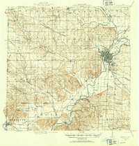
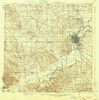
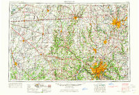
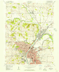
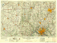
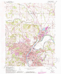
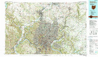
United States Geological Survey topographic
sheets whose coverage includes this point. Matched by taking the coordinate the National Park Service records for this property, then
testing that coordinate against the published boundary of every sheet.
When this property was proposed for the
National Register, someone wrote the case for it: what the building is,
and why it matters. That document is a federal record in the public domain.
It is quoted below word for word, never summarised. The text was read off the scanned case file by machine, so the
occasional stray character is the recogniser's and the 1970s
typewriter's.
Description of the property
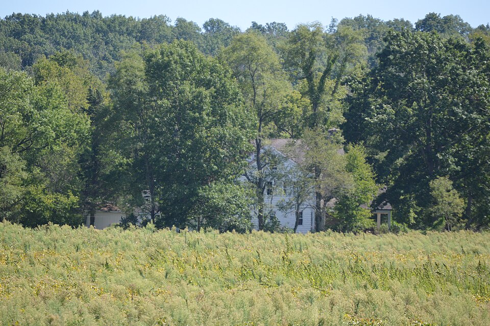
Originally the Hueston stone farmhouse was a simple, rectangular building across the end bay at the rear of the house. There is a two-part, two-story four remaining bays across, the rear. There is a screened in porch along the CONDITION DATE UNEXPOSED DETERIORATED MOVED FAIR RUINS UNALTERED CHECK ONE extensive acreage. The windows and doors had stone voussoirs; the windows had stone sills. the only other major architectural features.An early photo sheows a narrow Massive interior end chimneys and square windows in the two gable ends were end of the house is an open, gable-roofed porch.The open porch continues two-story,1ean-to addition at the rear of the house.
frame addition extending north from the rear of the house.It covers the shingles and there isa plain wood cornice.Paneled shutters have been added porch and addition were built in 1938. X-EXCELLENT 12.8.76 single light transom. Windows were 6/6 light, deeply set in their wood frames. The house is in excellent condition and is located on a large farm of XALTERED of coursed stone.The five-bay facade has a recessed center entrance with Today the original stone portion remains.The roof is covered with wood at the windows and a classical architrave surrounds the entrance.On the west LEBOVICH Form No.
10-300a UNITED STATES DEPARTMENT OF THE INTERIOR FOR NPS USE ONLY NATIONAL PARK SERVICE NATIONAL REGISTER OF HISTORIC PLACES SEP 16 1977 INVENTOR Y -- NOMINATION FORM DATE ENTERED THE HUESTON, MATTHEW, HOUSE - THE DAVIDSON HOUSE CONTINUATION SHEET ITEM NUMBER NOV51976 PAGE RECEIVED Hueston Farm House Begun 1808 (Rev. 10-74) NOV 5 AREAS OF
Statement of significance
This building is a tine example of rural, stone architecture. The overall simplicity one of the first and largest landowners in Butler County. He held several local Matthew Hueston (1771-1847) was born in Franklin County, Pennsylvania. His father He lost much of his money during a long illness, but eventually paid off his a grist mill, saw mill, and tenant houses. The Hueston's had nine children.
In the beginning of the 19th century, Hueston took an active part in the Ohio the surrender of General William Hull to the British forces at Detroit, Hueston 1500-1599 1400-1499 1700-1799 1600-1699 COMMERCE ECONOMICS ART ARCHEOLOGY-HISTORIC AGRICULTURE CONSERVATION ARCHEOLOGY-PREHISTORIC TRANSPORTATION PERIOD THEATER PREHISTORIC XARCHITECTURE ENGINEERING PHILOSOPHY SIGNIFICANCE MILITARY 1900- LITERATURE X_EXPLORATION/SETTLEMENT INDUSTRY _POLITICS/GOVERNMENT contractor of the Northwestern army.This military organization was under the command of the future president, William Henry Harrison.
Hueston was one of the earliest settlers in the Northwest Territory.He became Hueston was a justice of the peace in both Fairfield and Hanover townships.He stone mansion on Four-Mile Creek In Hanover Township.Near the home he established -SCULPTURE SPECIFIC DATES X1800-1899 offices and was considered an important local figure. was killed by Indians when Matthew was only two.Matthew trained as a tanner and -COMMUNICATIONS On April 15,1802,Matthew Hueston married Catherine Davis and they moved to his of the Miami Bridge Company.He lived in the stone house for 23 years and in the he was to become the largest land holder in Butler County. at Port Washington and served the same position with Wayne's army during 1794-95.
currier and in 1793 floated down the Ohio to Cincinnati where Gen.Anthony -EDUCATION Hueston's first farm was located four miles south of Fort Hamilton in 1802.
Quoted from the National Register nomination
for reference 77001045, 11 pages, held by the National Archives in Record
Group 79. See the
catalogue record.
Listed places nearby
6 within 8 miles
Other National Register properties close
enough to walk or drive between, ordered by distance from this one. Both
positions come from the same geocoding pass that matched these properties
to their map sheets.
Listing record. National Park Service National Register of Historic Places, listed-properties dataset, current to 2026-05-22.
Map join. Address geocoded through the United States Census geocoder, then tested against the published boundary of every sheet in the USGS Historical Topographic Map Collection.
How this page is made. Listing fields come from federal records; map-sheet coverage is a labelled coordinate-to-boundary calculation, not a source-field claim.
Specimens. Global Biodiversity Information Facility (GBIF), https://www.gbif.org/. Only records licensed CC0 or CC BY are used. Records licensed CC BY-NC are excluded because this site carries advertising. Images are checked individually and any whose licence is non-commercial, no-derivatives or unreadable is refused.
Mines and quarries. USGS Mineral Resources Data System (MRDS) https://mrdata.usgs.gov/mrds/ A work of the United States government, no copyright under 17 U.S.C. 105.
Storms. NOAA National Centers for Environmental Information, Storm Events Database https://www.ncei.noaa.gov/stormevents/ A work of the United States government, no copyright under 17 U.S.C. 105. Narratives are quoted verbatim from the National Weather Service report and are not edited or summarised.
 Block