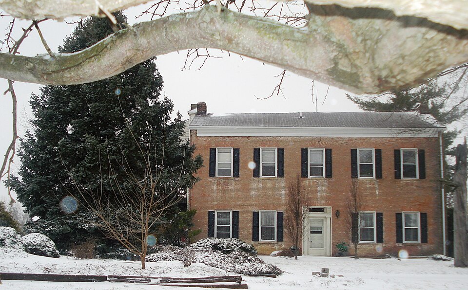
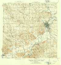
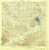
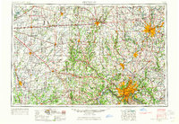
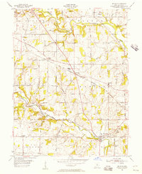
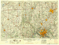
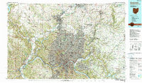
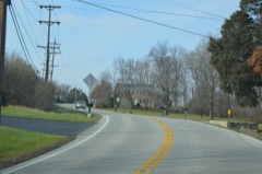
Listed on the National Register of Historic Places in 1977. 6 historic topographic surveys show this location, the earliest from 1915.
From the record
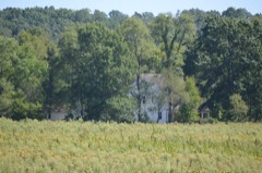
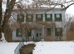
“Beckett-Manrod House is a registered historic building near Hamilton, Ohio, listed in the National Register on 1977-11-11. The house was built by farmer Robert Beckett in 1836.”
Wikipedia article Beckett-Manrod House, CC BY-SA 4.0.
One of 82 National Register listings published here for Butler County · listed in 1977 · category: Building.
National Register reference number.77001044- the number the National Park Service assigned this property when it was listed, and the key its nomination file is catalogued under at the National Archives.
This seems to be the only record of the matter preserved in the books of the county commissioners. Union was the last township erected, except Hamilton. That was so made after its erection as a city and union with Ross vi lie.
Millville, in the edge of Ross township, where Williams' mill was located, was the principal trading point of a large community of settlers in the southern and western part of Hanover township. The first roads, therefore, naturally led in the direction of this point. From Hamilton to Millville the first road part of the way followed the dividing line of Hanover and Ross townships. From Millville to Reily it followed the windings of Indian creek. This highway was one of the roads which tapped the border counties of Indiana. Another road, but of less importance, led from Darrtown to Hamilton. In the early days an important highway was the State road that followed the dividing ridge between the Indian creek and Four Mile valleys, passing through Stillwell's and leading from Oxford to Hamilton.
Regional context, not property-specific
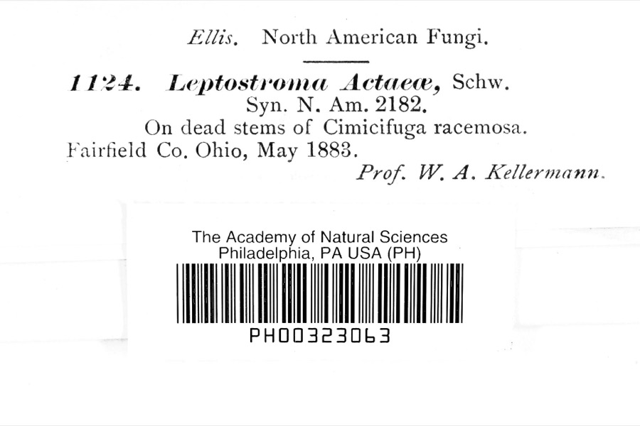
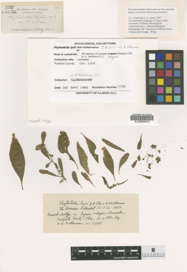
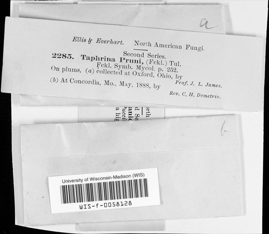
evidence. Museums hold 1,916 specimens
collected within 10 miles of Beckett-Manrod House between 1835 and 1975: 893 Animalia, 761 Fungi, 191 Plantae, 57 Protozoa, 13 Unrecorded, 1 Chromista.
12 distinct Species records are shown.
Collected by ?, A. R. Gaufin, A. V. J.; W. G. S. and others. Each is a
physical object with a catalogue
number, and each entry opens the museum's record. This is what was
collected and kept, not a survey of what lives here - nothing can be
concluded from a species being absent.
Regional context, not property-specific
evidence. The federal mineral resources record lists
2 workings within 5 miles of Beckett-Manrod House: 2 unknowns.
None of them still produces. What was taken out: Sand and Gravel, Construction, Iron. Distance is straight-line from the
map coordinates, so a quarry counted here may appear on a neighbouring
settlement's page as well.
Regional context, not property-specific
evidence. The National Weather Service names
Hamilton, the town this property stands in, in 63 storm reports between 1995 and 2022: 26 thunderstorm wind, 23 hail, 13 flash flood, 1 flood.
The reports record 2 injuries. Each account below is quoted exactly as the forecast office
filed it, from the NOAA Storm Events Database, and each date
opens the federal record of that event.
Street flooding occurred along Western Avenue and several other roadways in the Highland Park neighborhood of Hamilton. Water was as deep as 3 feet in some locations.
Hundreds of trees and some power lines were downed. Some of the trees fell across State Route 4, to the southeast of Hamilton. Power was out to around 30,000 customers shortly after the storm.
Flash flooding, several feet deep, occurred at several intersections in Hamilton, including Main St. and Lawn St., Franklin St. and Edgewood St., and Eaton St. and Rhea St.
1 paper published in this town,
digitised by the Library of Congress and free to read. Every page is searchable, so a name or a street can be
looked for directly in what the town printed about itself at the time.
United States Geological Survey topographic
sheets whose coverage includes this point. Matched by taking the coordinate the National Park Service records for this property, then
testing that coordinate against the published boundary of every sheet.
When this property was proposed for the
National Register, someone wrote the case for it: what the building is,
and why it matters. That document is a federal record in the public domain.
It is quoted below word for word, never summarised. The text was read off the scanned case file by machine, so the
occasional stray character is the recogniser's and the 1970s
typewriter's.
Description of the property
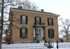
chimney at each end, is reminiscent of the Federal style. The lintels over entryway, also recessed, is the primary Grecian characteristic. It is flanked CONDITION EXCELLENT XGOOD UNALTERED RUINS FAIR Exterior:The Beckett Manrod Home is an excellent example of the transition CHECK ONE two-story and single-story brick segments. part of the original construction.A single-story brick lean-to type addition symmetrically positioned windows and doorway are vertical bricks. The window bordered by large consoles completes the entrance.
brick house has an L-shaped layout with a single story summer kitchen in the side of the entablature has a panel with a rectangular pattern of very small The simplicity of the rectangular main block,with a gabled roof and a portions.A two-story brick section with a shed roof and chimney appears to be with shutters pierce the gables of the two end walls of the main block.The main - UNEXPOSED The rear segment of the L-shaped layout is composed of both brick and frame period in Ohio rural architecture from Federal to Greek revival.The two-story Benjamin's handbook The Practical House Carpenter.A transom above the door by fluted Doric columns which support a thick molded entablature.The lower AREAS OF
Statement of significance
This home was erected in 1836 for Robert Beckett, a prosperous farmer of Hanover William Beckett, Robert's son, lived in the house until he attended Miami in 1918 and is still one of the occupants. 1400-1499 1836 1700-1799 LAW ARCHEOLOGY-HISTORIC XARCHITECTURE ENGINEERING ART CONSERVATION THEATER SCIENCE TRANSPORTATION PHILOSOPHY EDUCATION ECONOMICS AGRICULTURE BUILDER/ARCHITECT PERIOD SIGNIFICANCE MILITARY INVENTION SCULPTURE XINDUSTRY MUSIC _POLITICS/GOVERNMENT _COMMUNICATIONS _EXPLORATION/SETTLEMENT _PREHISTORIC in Asher Benjamin's The Practical House Carpenter.
earliest toll roads in the county, the Hamilton-Rossville-and Richmond Turnpike LITERATURE Township.He was intimately involved in the early industrial development of Company.He was also one of the incorporators of the Rossville Hydraulic Company of the Methodist Episcopal Church purchased it.Jake Manrod obtianed the home in the nineteenth century and was a director and superintendent of one of the _RELIGION The Beckett-Manrod Home is the best example of a house design found in Butler style brick houses with Greek revival entryways that closely resemble a plate -1500-1599 and Dayton Railroad and the Junction Railroad. -1600-1699 in 1846 which provided water power for a number of early Hamilton industries. -COMMERCE The Beckett family owned the house until 1877 when it was sold to James F.
- 1900- _COMMUNITY PLANNING County which is probably the work of a single builder. All are two-story Federal University in 1844. Following the influence of his father, he moved to Hamilton Chalfant. In 1899 the Preacher Relief Society of the Cininnati Conference Butler County.Beckett established a saw and grist mill on his property early and helped establish a paper mill in 1848 which is still known as The Beckett
Quoted from the National Register nomination
for reference 77001044, 12 pages, held by the National Archives in Record
Group 79. See the
catalogue record.
Listed places nearby
6 within 8 miles
Other National Register properties close
enough to walk or drive between, ordered by distance from this one. Both
positions come from the same geocoding pass that matched these properties
to their map sheets.
Listing record. National Park Service National Register of Historic Places, listed-properties dataset, current to 2026-05-22.
Map join. Address geocoded through the United States Census geocoder, then tested against the published boundary of every sheet in the USGS Historical Topographic Map Collection.
How this page is made. Listing fields come from federal records; map-sheet coverage is a labelled coordinate-to-boundary calculation, not a source-field claim.
Specimens. Global Biodiversity Information Facility (GBIF), https://www.gbif.org/. Only records licensed CC0 or CC BY are used. Records licensed CC BY-NC are excluded because this site carries advertising. Images are checked individually and any whose licence is non-commercial, no-derivatives or unreadable is refused.
Mines and quarries. USGS Mineral Resources Data System (MRDS) https://mrdata.usgs.gov/mrds/ A work of the United States government, no copyright under 17 U.S.C. 105.
Storms. NOAA National Centers for Environmental Information, Storm Events Database https://www.ncei.noaa.gov/stormevents/ A work of the United States government, no copyright under 17 U.S.C. 105. Narratives are quoted verbatim from the National Weather Service report and are not edited or summarised.
 Block