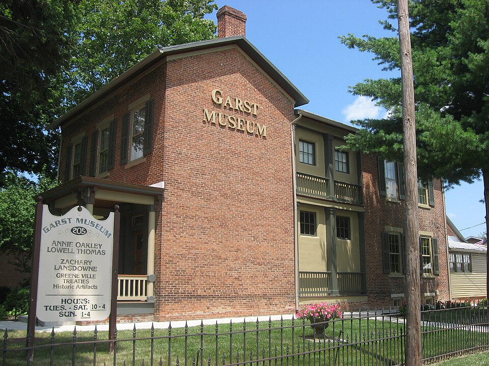
Listed on the National Register of Historic Places in
1977. A historic map-sheet match is not published yet. The record needs a coordinate-quality review before it can be joined to a sheet boundary.
From the record
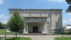
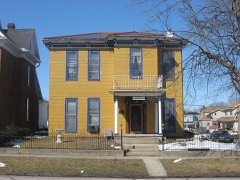
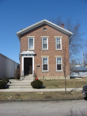
“The Garst House, also known as the Garst Museum, is an historic building located at 205 North Broadway in Greenville, Ohio, United States. On November 16, 1977, it was added to the National Register of Historic Places.”
Wikipedia article Garst Museum, CC BY-SA 4.0.
one of 25 National Register listings in Darke County · listed in 1977 · category: Building.
National Register reference number.77001056- the number the National Park Service assigned this property when it was listed, and the key its nomination file is catalogued under at the National Archives.
Darke County was organized in March, 1817, from Miami County. It is abundantly timbered with poplar, walnut, blue ash, hickory, beech and sugar maple. It yields superior wheat, and is well adapted to grazing. In this county occurred the lamentable defeat of St. Clair, and the treaty of Greenville.
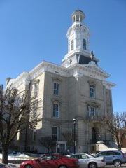
Greenville is the county seat, and was laid out August 10, 1808, by Robert Gray and John Dover. In December, 1793, Wayne built Fort Greenville on this spot, which covered about the same extent as the present town.
Regional context, not property-specific
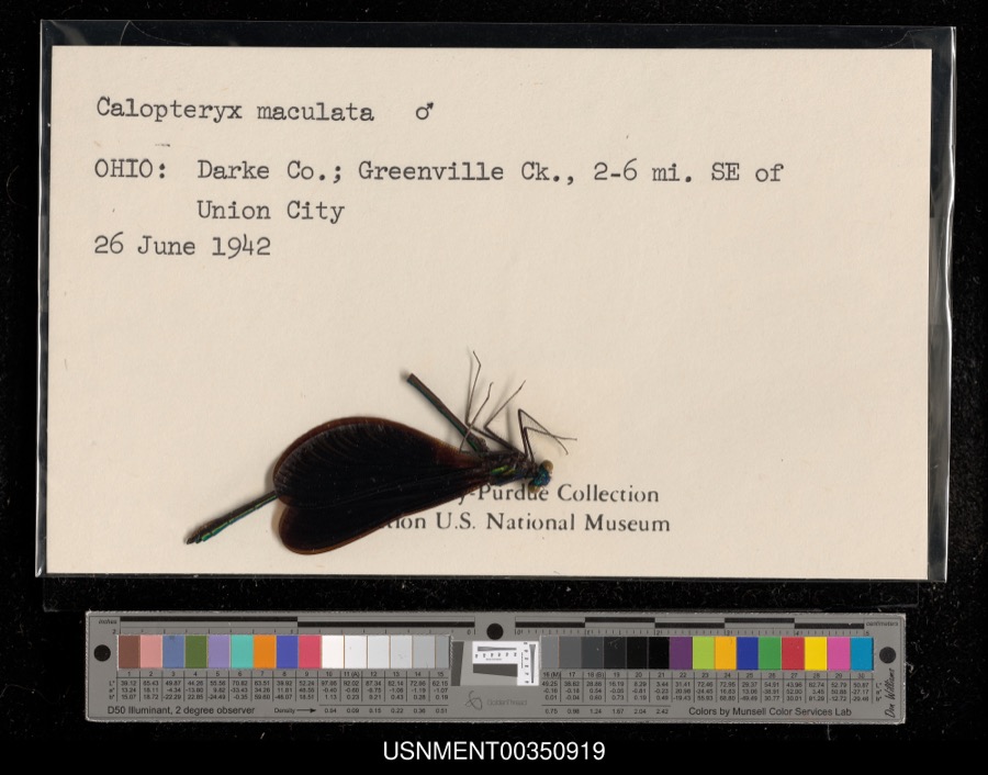
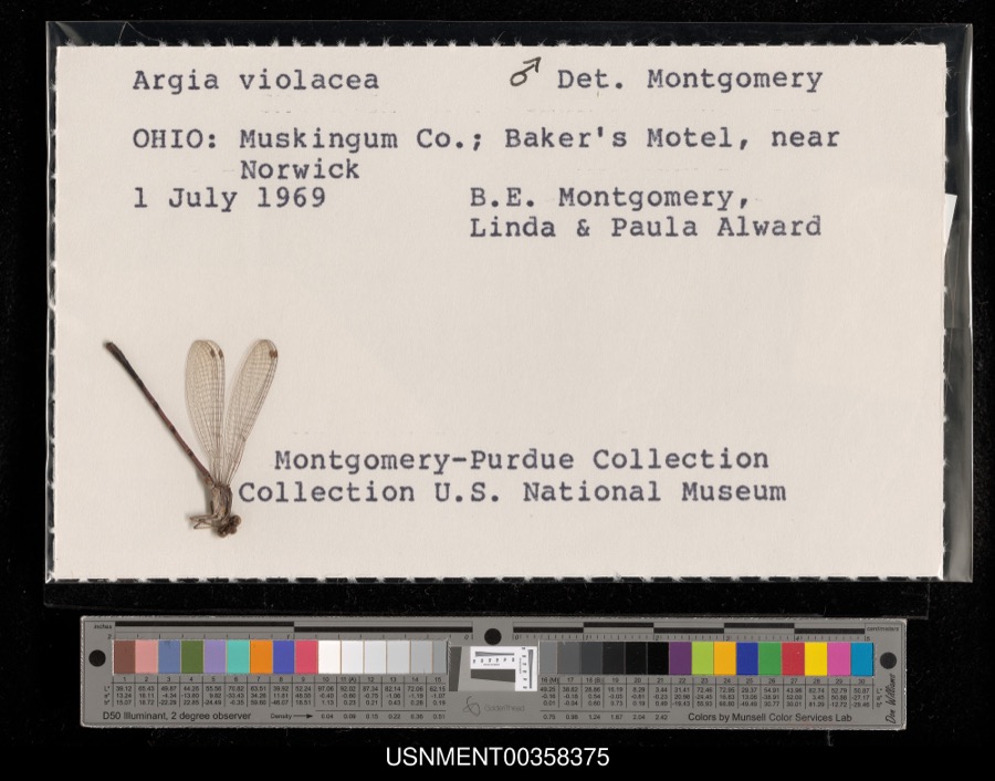
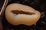
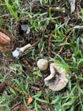
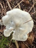
evidence. Museums hold 485 specimens
collected within 10 miles of Garst House between 1895 and
1975: 452 Animalia, 19 Plantae, 14 Fungi. 12 distinct Species records are shown.
Collected by A VERWYST, A. F. C.; Stover, W. G., Albrecht, C. and others. Each is a
physical object with a catalogue
number, and each entry opens the museum's record. This is what was
collected and kept, not a survey of what lives here - nothing can be
concluded from a species being absent.
Regional context, not property-specific
evidence. The federal mineral resources record lists
5 workings within 5 miles of Garst House: 3 producers, 2 past producers.
3 still produce. What was taken out: Sand and Gravel, Construction, Clay. Distance is straight-line from the
map coordinates, so a quarry counted here may appear on a neighbouring
settlement's page as well.
Regional context, not property-specific
evidence. The National Weather Service names
Greenville, the town this property stands in, in 65 storm reports between 1994 and 2026: 31 thunderstorm wind, 18 hail, 9 flood, 4 flash flood.
No death or injury is recorded in these reports. Each account below is quoted exactly as the forecast office
filed it, from the NOAA Storm Events Database, and each date
opens the federal record of that event.
Several mobile homes in the Sherwood Forest Trailer Park suffered severe damage, and a nearby 10' by 12' shed was destroyed. The roof of a home on Hog Path Road was torn off.
High water was reported on roads and some roads were closed due to heavy rainfall and previous snow melt. Flooding began around 0749 EST on February 28th and continued until around 1100 EST on March 1st. Damage estimates during February were around five-thousand dollars.
High water was reported on roads and some of the roads were closed due to heavy rainfall and previous snow melt. Flooding began around 0749 EST on February 28th and continued until around 1100 EST on March 1st. Damage estimates during March were around five-thousand dollars.
Hail as large as baseballs fell across the county for the second time in 90 minutes. This time the hail fell over a populated area causing damage to many cars, including 2 car lots.
1 paper published in this town,
digitised by the Library of Congress and free to read: 0 issues,
0 pages. Every page is searchable, so a name or a street can be
looked for directly in what the town printed about itself at the time.
No historic map-sheet match is published
for this property yet. That does not mean no map exists. This record needs
a coordinate-quality review before it can be joined to a sheet boundary.
Browse the county's mapped places while that work is
pending.
From the nomination file
3,071 words on record
When this property was proposed for the
National Register, someone wrote the case for it: what the building is,
and why it matters. That document is a federal record in the public domain.
It is quoted below word for word, never summarised. The text was read off the scanned case file by machine, so the
occasional stray character is the recogniser's and the 1970s
typewriter's.
Description of the property
at the front, a deep cornice with brackets connecting with eaves . There are single stack, corbelled caped, interior chimneys at the gable ends. room but behind the pillar and balustrade, leaving them in Two one story museum wings have been added. The Both museum wings are functional brick structures. CONDITION Moved Ruins DESCRIPTION shed roof extension one story shed roof frame addition on the Ohio country style rectangular house sits on a stone chimney at the end.A side door is on the porch.A smaller The well proportioned two story brick early Victorian and is now a suburb of Greenville. the columns, a single column at the back with connecting two story gable roof wing extends further to the rear with that has pilasters and a central pillar connected bya two rear bays extending north.
The second(under construc and the rear wing are 6/6 double hung sash with stone lintels The house is located at the southwest corner of a Fair (Check One) Good There is a two story, built-in, two bay porch on the south side tion) is attached to the north end of the east wall of the Coppock wing extending the museum again to the northeast The foundation with basement. place.There is a single stack corbel capped interior The windows of the facade stretch of open park land in what was originally open country The sheet metal gable roof has projecting The four bay two story brick rear wing is full width. and sills.
entrance on the right bay.The porch has paired columns PERIOD (Check One or More as Appropriate) - Pre-Columbian: - 19th Century SPECIFIC DATE(S) (It Applicable and Known) Education - Political - Urban Planning - Prehistoric - Other (Specify) - Science Landscape - Social/Human- - Literature - Military - Theater E Transportation STATEMENT OF
Statement of significance
Y Educationally it is a' museum with a valuable collection. Coover's brother, John, sold the house to John Hufnagle The museum houses a valuable local history collection. opened southern Ohio to settlement. The original of (Moses), the famous sharpshooter, from whose life the lecturer and explorer Lowell Thomas was a local boy. 1852 Conservation Commerce losophy travelers. Engineering Architecture Communications SIGNIFICANCE Industry Aboriginal Music itarian Art Agriculture Invention Sculpture heirs donated the house to the Darke County Historical Howard Chandler Cristy's noted painting of that treaty collection of artifacts of Indian civilization and the connected to the growth of commerce and the railroads.
new Greenville and Miami Railroad as an inn for railroad Thomas has contributed a number of artifacts and a collection of his personal memorabilia. Religion/Phi. The Garst House isan interesting example of Ohio early coach accident in Missouri his body arrived Society in 1946. Greenville is the site of the that XX 19th Century Victorian country architecture. Historically it is hangs in the front room.An enlarged official version is home the train stopped beside his residence.In 1861 There is a considerable Coover was killed five years later in a stage Indian wars.Darke County was the home of Annie Oakley in the State House at Columbus. W. H. Beers & Co., 1880.
Quoted from the National Register nomination
for reference 77001056, 22 pages, held by the National Archives in Record
Group 79. See the
catalogue record.
Listed places nearby
6 within 8 miles
Other National Register properties close
enough to walk or drive between, ordered by distance from this one. Both
positions come from the same geocoding pass that matched these properties
to their map sheets.
Listing record. National Park Service National Register of Historic Places, listed-properties dataset, current to 2026-05-22.
Map join. Address geocoded through the United States Census geocoder, then tested against the published boundary of every sheet in the USGS Historical Topographic Map Collection.
How this page is made. Listing fields come from federal records; map-sheet coverage is a labelled coordinate-to-boundary calculation, not a source-field claim.
Specimens. Global Biodiversity Information Facility (GBIF), https://www.gbif.org/. Only records licensed CC0 or CC BY are used. Records licensed CC BY-NC are excluded because this site carries advertising. Images are checked individually and any whose licence is non-commercial, no-derivatives or unreadable is refused.
Mines and quarries. USGS Mineral Resources Data System (MRDS) https://mrdata.usgs.gov/mrds/ A work of the United States government, no copyright under 17 U.S.C. 105.
Storms. NOAA National Centers for Environmental Information, Storm Events Database https://www.ncei.noaa.gov/stormevents/ A work of the United States government, no copyright under 17 U.S.C. 105. Narratives are quoted verbatim from the National Weather Service report and are not edited or summarised.
 Block
Block