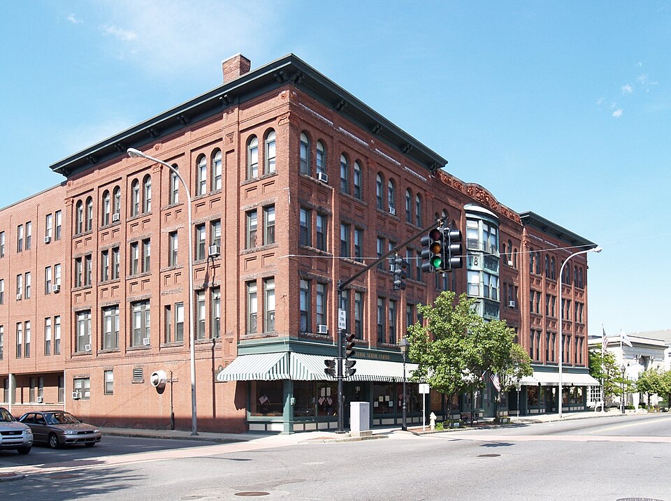
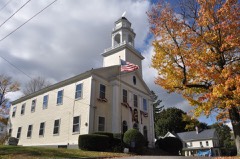
Photograph by Marcbela (Marc N. Belanger), Public domain. Via
Wikimedia Commons.
Pequoig Hotel
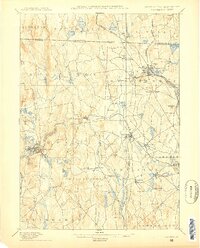
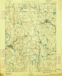
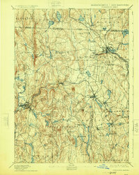
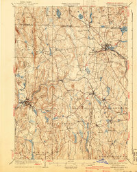
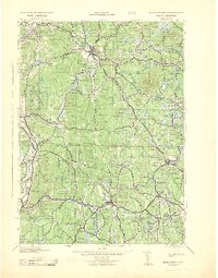
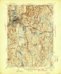
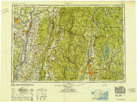
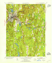
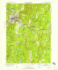
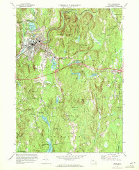
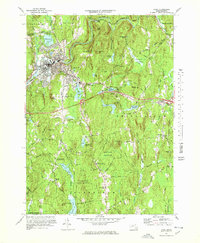
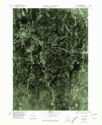
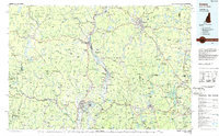
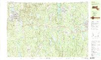
Built in 1895 (Neoclassical architecture). Listed on the National Register of Historic Places in 1978. 18 historic topographic surveys show this location, the earliest from 1887.
From the record
One of 686 National Register listings published here for Worcester County · listed in 1978 · category: Building · built in 1895, Neoclassical architecture, by William Gilbert Upham.
National Register reference number.78000469- the number the National Park Service assigned this property when it was listed, and the key its nomination file is catalogued under at the National Archives.
Athol {Pleasant Jmiui) lies in the northwest part of Worcester County, bordering on Franklin County. As originally surveyed, in October and November, 1732, the township was six miles square. It is liounded on the north by Royalston and Orange, on the east by Phillipston and Petersham, on the south by Petersham and New Salem, on the west by New Salem and Orange. The southwest corner probably remains unchanged; but the southeast corner, as at first surveyed, was south of the meeting-house now standing in Phillipston ; the northeast corner was northeast of South Royalston meeting-house; and the northwest corner was a few rods south of North Orange meetinghouse. By the territorial changes which have been made since the opening of the township for settlement, portions of Athol were annexed to Royalston, February 2(), 1799, and March 7, 1803 ; a jiart was set off to form Gerry (now Phillipston) in 178G ; the northwest corner was taken to form Orange. A part of Gerry was restored to Athol, February 20, 1806 ; a part of Orange, February 7, 1816 ; and parts of New Salem were annexed February 5, 1830, and
March 16, 1837. (See " History of Athol," by George W. Horr, LL.D., "History of Worcester County," 1879). The original boundary lines appear to have been straight, or nearly so, but at present they are far from being straight, as a glance at any mndern map of Athol will show.
Regional context, not property-specific
evidence. The
federal wildfire occurrence database
lists 37 fires within 5 miles of Pequoig Hotel
between 2004 and 2020, burning about 176 acres in total. 1 started naturally. 2 were recorded as arson.
Distance is straight-line from the map coordinates, so a fire counted
here may appear on a neighbouring settlement's page as well.
Reported cause
Fires
Debris and open burning
22
Missing data/not specified/undetermined
5
Smoking
3
Arson/incendiarism
2
Natural
1
Equipment and vehicle use
1
Recreation and ceremony
1
Railroad operations and maintenance
1
Fireworks
1
The most recent of
them, most recent first, with the day each was reported and the service
that recorded it.
Regional context, not property-specific
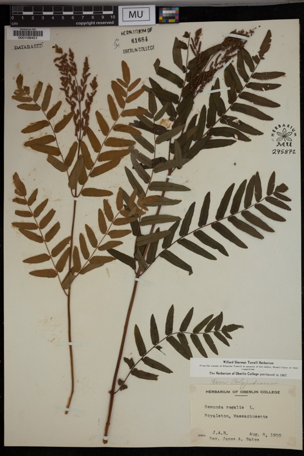
evidence. Museums hold 1,377 specimens
collected within 10 miles of Pequoig Hotel between 1856 and 1975: 710 Animalia, 443 Fungi, 200 Plantae, 15 Unrecorded, 9 Protozoa.
12 distinct Species records are shown.
Collected by A. Melander, A. Melander & A. Melander, A. P. Baker and others. Each is a
physical object with a catalogue
number, and each entry opens the museum's record. This is what was
collected and kept, not a survey of what lives here - nothing can be
concluded from a species being absent.
Regional context, not property-specific
evidence. The federal mineral resources record lists
10 workings within 5 miles of Pequoig Hotel: 5 occurrences, 3 past producers, 2 producers.
2 still produce. What was taken out: Mica, Talc-Soapstone, Sand and Gravel, Construction, Iron. Distance is straight-line from the
map coordinates, so a quarry counted here may appear on a neighbouring
settlement's page as well.
Regional context, not property-specific
evidence. The National Weather Service names
Athol, the town this property stands in, in 36 storm reports between 1994 and 2025: 25 thunderstorm wind, 9 hail, 2 lightning.
No death or injury is recorded in these reports. Each account below is quoted exactly as the forecast office
filed it, from the NOAA Storm Events Database, and each date
opens the federal record of that event.
In Athol, a tree was down on a house on Roosevelt Ave. Also, a large tree was down on Orchard Hill Rd, and a tree was down on wires on Orchard Hill Rd.
In Athol, multiple trees were downed. On Chester St, OLD Keen Rd, and Silver Lake Rd. There was a tree through the roof of a house on Hillside Terrace.
At 626 PM EST, in Athol, trees and wires were down on Partridgeville Road and Daniel Shays Highway. Tree and wires were also down on Chestnut Hill Avenue.
In Athol there was a tree down on a house near Gage Rd. There were also trees and wires down on Pleasant St and Riverview Ave as well as powerlines down on Brookside Rd.
In Athol, a tree branch was down on a house on Jeri Drive and a tree was down on Metropolitan Court. A transformer was blown and wires were down on Pequoig Avenue.
A fast-moving microburst toppled or sheared off sturdy trees along about a 0.3 mile long path. No property damage was reported, but several trees fell against public buildings and had to be cut down.
United States Geological Survey topographic
sheets whose coverage includes this point. Matched by taking the coordinate the National Park Service records for this property, then
testing that coordinate against the published boundary of every sheet.
When this property was proposed for the
National Register, someone wrote the case for it: what the building is,
and why it matters. That document is a federal record in the public domain.
It is quoted below word for word, never summarised. The text was read off the scanned case file by machine, so the
occasional stray character is the recogniser's and the 1970s
typewriter's.
Description of the property
DATE_ The Pequoig Hotel occupies a prominent position on Pequoig Square in Athol's commercial It faces south on Main Street and west on Exchange Street. This large four story building which is surrounded mainly by low twentieth century commercial blocks and vacant lots is one of the most visible in the area. It is constructed of red brick with granite and terra cotta trim. Design elements are derived chiefly from classical sources but are handled in a free manner. The eleven bay Main Street facade is organized in three parts. The center section is slightly recessed but is emphasized by a low parapet with foliated terra cotta ornament and by a three story metal oriel in the center bay.
The oriel is embossed with the word Pequoig, flanked by two Indian head profiles, at the second story level, and by a scrolled motif, flanked by the date 18 -- 95,at the third story level... The projecting end sections are four bays wide and are capped by a deep bracketted cornice which extends around to the side elevations. Stylized Ionic pilasters define their corners and divide each in the center. Recessed panels decorate the spandrels and the entabulature. renestration consists of 2/2 double hung sash throughout. Windows are paired in the end sections and tripled in the center section. so mid tiped in the cmtor reon t .15 second story windows are headed by fixed glazed transoms and granite lintels. The fourth story windows are round arched.
While the upper-stories have retained their original detail, the ground floor storefronts have been altered to meet changing commercial needs. The east and west side elevations employ the same design elements as the facade but are asymetrically arranged.
/ARCHITECT Lucien Lord STATEMENT OF SIGNIFICANCE The Pequoig Hotel has been an important visual landmark in downtown Athol since its construction in the late nineteenth century. It was for many years the largest non- industrial building within the city and remains the largest to be constructed as a hotel. Its builder was Lucien Lord, one of Athol's most active real estate developers in the late nineteenth century. The Pequoig Hotel was Lord's largest project and is thought to be one of his major achievements. thops nonteng bimen oungae e wot o a lgran or c talt ocopid dia our. space. The building ceased to be used as a hotel over twenty years ago, and presently houses only an entertainment lounge on the ground floor.
Quoted from the National Register nomination
for reference 78000469, 21 pages, held by the National Archives in Record
Group 79. See the
catalogue record.
Listed places nearby
6 within 8 miles
Other National Register properties close
enough to walk or drive between, ordered by distance from this one. Both
positions come from the same geocoding pass that matched these properties
to their map sheets.
Listing record. National Park Service National Register of Historic Places, listed-properties dataset, current to 2026-05-22.
Map join. Address geocoded through the United States Census geocoder, then tested against the published boundary of every sheet in the USGS Historical Topographic Map Collection.
How this page is made. Listing fields come from federal records; map-sheet coverage is a labelled coordinate-to-boundary calculation, not a source-field claim.
Wildfire. Short, Karen C. 2022. Spatial wildfire occurrence data for the United States, 1992-2020 [FPA_FOD_20221014]. 6th Edition. Fort Collins, CO: Forest Service Research Data Archive. https://doi.org/10.2737/RDS-2013-0009.6 Collected with United States Government funding and usable without additional permissions or fees.
Specimens. Global Biodiversity Information Facility (GBIF), https://www.gbif.org/. Only records licensed CC0 or CC BY are used. Records licensed CC BY-NC are excluded because this site carries advertising. Images are checked individually and any whose licence is non-commercial, no-derivatives or unreadable is refused.
Mines and quarries. USGS Mineral Resources Data System (MRDS) https://mrdata.usgs.gov/mrds/ A work of the United States government, no copyright under 17 U.S.C. 105.
Storms. NOAA National Centers for Environmental Information, Storm Events Database https://www.ncei.noaa.gov/stormevents/ A work of the United States government, no copyright under 17 U.S.C. 105. Narratives are quoted verbatim from the National Weather Service report and are not edited or summarised.
 Block