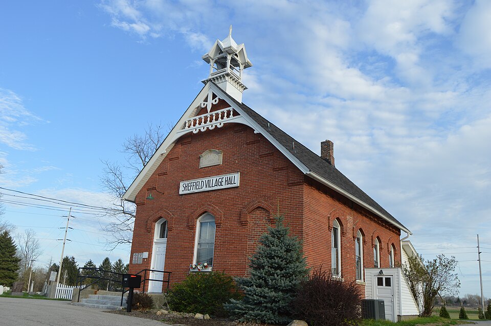
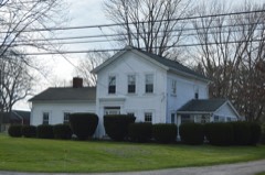
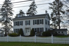
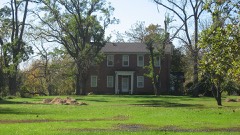
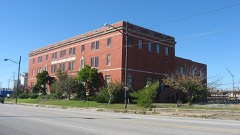
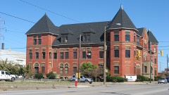
Listed on the National Register of Historic Places in
1978. A historic map-sheet match is not published yet. The record needs a coordinate-quality review before it can be joined to a sheet boundary.
From the record
one of 113 National Register listings in Lorain County · listed in 1978 · category: Building · one of 2 National Historic Landmarks in Lorain County.
National Register reference number.78002118- the number the National Park Service assigned this property when it was listed, and the key its nomination file is catalogued under at the National Archives.
Specimens collected near this property
12 of 1,548 shown
Regional context, not property-specific
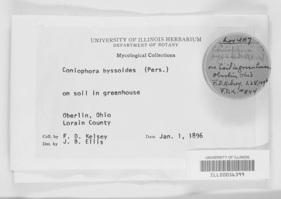
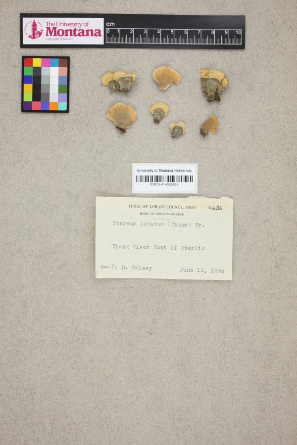
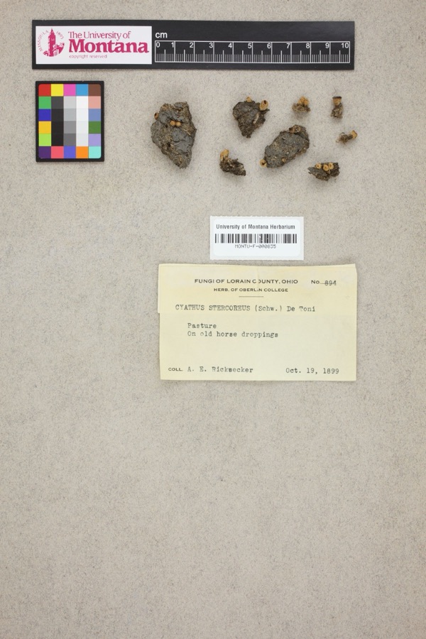
evidence. Museums hold 1,548 specimens
collected within 10 miles of Sheffield Village Hall between 1853 and
1975: 1,161 Animalia, 309 Fungi, 68 Plantae, 6 Unrecorded, 4 Protozoa. 12 distinct Species records are shown.
Collected by ?, A. A. Wright, A. E. Ricksecker and others. Each is a
physical object with a catalogue
number, and each entry opens the museum's record. This is what was
collected and kept, not a survey of what lives here - nothing can be
concluded from a species being absent.
Regional context, not property-specific
evidence. The federal mineral resources record lists
4 workings within 5 miles of Sheffield Village Hall: 3 producers, 1 past producer.
3 still produce. What was taken out: Iron, Stone, Sand and Gravel, Construction. Distance is straight-line from the
map coordinates, so a quarry counted here may appear on a neighbouring
settlement's page as well.
Regional context, not property-specific
evidence. The National Weather Service names
Sheffield, the town this property stands in, in 12 storm reports between 2005 and 2024: 8 thunderstorm wind, 2 flash flood, 1 hail, 1 tornado.
No death or injury is recorded in these reports. Each account below is quoted exactly as the forecast office
filed it, from the NOAA Storm Events Database, and each date
opens the federal record of that event.
On the evening of May 12th torrential rainfall dropped an estimated 5 inches of rainfall in 90 minutes over Avon in northern Lorain County. The French Creek flooded from local runoff and routed water from upstream North Ridgeville where the heaviest rain fell. The French Creek, which runs from southeast to northwest through town, flooded several roads and damaged the Mill Road with a washout. 50 to 75 homes sustained basement flooding.
Heavy rainfall, measured at 6.5 inches in 3.5 hours was measured by the Sheffield Village service department on the evening of May 12th. Runoff combined with routed water upstream from North Ridgeville and Avon caused the French Creek to rise 10 to 15 feet above flood stage in Sheffield Village. A half dozen buildings were flooded form the French Creek along with eight homes. The creek crested around 1230 am. State Route 201 was closed for eight hours. There were no water rescues and the infrastructure did not sustain any notable damages.
This tornado had peak intensity of EF1, estimated peak winds of 110 mph, moved generally east-northeastward, and caused sporadic damage along its path. The tornado began at an industrial facility along Miller Road on the northwest side of Avon, where a portion of a building's roof was removed. It snapped multiple trees and lofted a trampoline into the street along Wedgewood Drive in Avon Lake, and snapped multiple trees and removed shingles from a house on Teasel Court in Avon Lake. Additional and sporadic tree damage occurred before the tornado exited Lorain County and entered Cuyahoga County just west of Wolf Road, along the Avon Lake/Bay Village border.
No historic map-sheet match is published
for this property yet. That does not mean no map exists. This record needs
a coordinate-quality review before it can be joined to a sheet boundary.
Browse the county's mapped places while that work is
pending.
From the nomination file
1,674 words on record
When this property was proposed for the
National Register, someone wrote the case for it: what the building is,
and why it matters. That document is a federal record in the public domain.
It is quoted below word for word, never summarised. The text was read off the scanned case file by machine, so the
occasional stray character is the recogniser's and the 1970s
typewriter's.
Description of the property
cated on either side of a center window, although one has since been bricked up. The A transom is located directly over the remaining door openings The central window stone below it, signifying that this was originally a one room district schoolhouse. At to this space, but new flourescent fixtures have been installed and modern office furni- CONDITION DATE UNEXPOSED vane. DETERIORATED MOVED this building. EXCELLENT storage. The northwest vestibule, which has its exterior doorway bricked in, serves as a lavatory. The sides of this building are four bays long. The windows on the sides are treated vestibules is a podium, which is raised up about about one foot from the rest of the floor.
in the same fashion as the front openings; they are arched and have brick hood moldings CHECK ONE concealed behind a concrete block addition that runs the width of the building and opening is also arched and features the same type of hood molding as that over the doorway. fashion reminiscent of the work of Charles Eastlake.The cupola is crowned by a weather- This building isa one story rectangular building that is constructed of brick with fashion and features grooved and carved wood ornament.Above the peak of the roof is a On the interior, two corner vestibules are located in the front.
These have curvigg ture and carpeting added bo the room.The rear portion that was recently added on is original building, is not visible from the front and does not disturb the interior Small blackboards are still attached to the side walls of the room near this podium. the peak of the gable is elaborate wood bargeboard trim.It is assembled in a lattic=like -UNALTERED of the briglnag building.
ducted in this building.. Thus, it is the center for the local government and is a symbol value of this building and plans to preserve it. They have requested National Register This building lies in the center of the village of Sheffield, a cluster of buildings 1400-1499 1883 1500-1599 1600-1699 organized. INVENTION ART ARCHEOLOGY-HISTORIC ECONOMICS XPOLITICS/GOVERNMENT COMMUNICATIONS XEDUCATION PERIOD RELIGION EXPLORATION/SETTLEMENT BUILDER/ARCHITECT AGRICULTURE SIGNIFICANCE THEATER MILITARY INDUSTRY X1800-1899 _PHILOSOPHY 1700-1799 LITERATURE offices, the building's interior remains as one large open space with its original wood- of eight red brick schools in the township until school centralization began in 1920. _CONSERVATION listing for this building.
- TRANSPORTATION work and plasterwork largely undisturbed. - ENGINEERING _PREHISTORIC This building has been used as the village hall since 1933,when Sheffield village was -COMMERCE -1900- _LAW -COMMUNITY PLANNING Located on Detroit Road. It was built in 1883 from designs by E. Terrell, an architect E. Terrell ARCHEOLOGY-PREHISTORIC old one room schoolhouse left in the township that is still intact.This building is The Sheffield village Hall is important historically as a social center for the community and as one of the townships early one room schoolhouses.It is the only also an unusually good example of rural school architecture, due to its high degree of Sheffield village now uses this building as its town hall.Here are the offices of
Quoted from the National Register nomination
for reference 78002118, 16 pages, held by the National Archives in Record
Group 79. See the
catalogue record.
Listed places nearby
6 within 8 miles
Other National Register properties close
enough to walk or drive between, ordered by distance from this one. Both
positions come from the same geocoding pass that matched these properties
to their map sheets.
Listing record. National Park Service National Register of Historic Places, listed-properties dataset, current to 2026-05-22.
Map join. Address geocoded through the United States Census geocoder, then tested against the published boundary of every sheet in the USGS Historical Topographic Map Collection.
How this page is made. Listing fields come from federal records; map-sheet coverage is a labelled coordinate-to-boundary calculation, not a source-field claim.
Specimens. Global Biodiversity Information Facility (GBIF), https://www.gbif.org/. Only records licensed CC0 or CC BY are used. Records licensed CC BY-NC are excluded because this site carries advertising. Images are checked individually and any whose licence is non-commercial, no-derivatives or unreadable is refused.
Mines and quarries. USGS Mineral Resources Data System (MRDS) https://mrdata.usgs.gov/mrds/ A work of the United States government, no copyright under 17 U.S.C. 105.
Storms. NOAA National Centers for Environmental Information, Storm Events Database https://www.ncei.noaa.gov/stormevents/ A work of the United States government, no copyright under 17 U.S.C. 105. Narratives are quoted verbatim from the National Weather Service report and are not edited or summarised.
 Block
Block