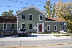
Listed on the National Register of Historic Places in
1978. A historic map-sheet match is not published yet. The record needs a coordinate-quality review before it can be joined to a sheet boundary.
From the record
one of 113 National Register listings in Lorain County · listed in 1978 · category: Building · one of 2 National Historic Landmarks in Lorain County.
National Register reference number.78002117- the number the National Park Service assigned this property when it was listed, and the key its nomination file is catalogued under at the National Archives.
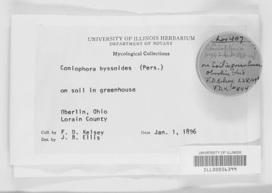
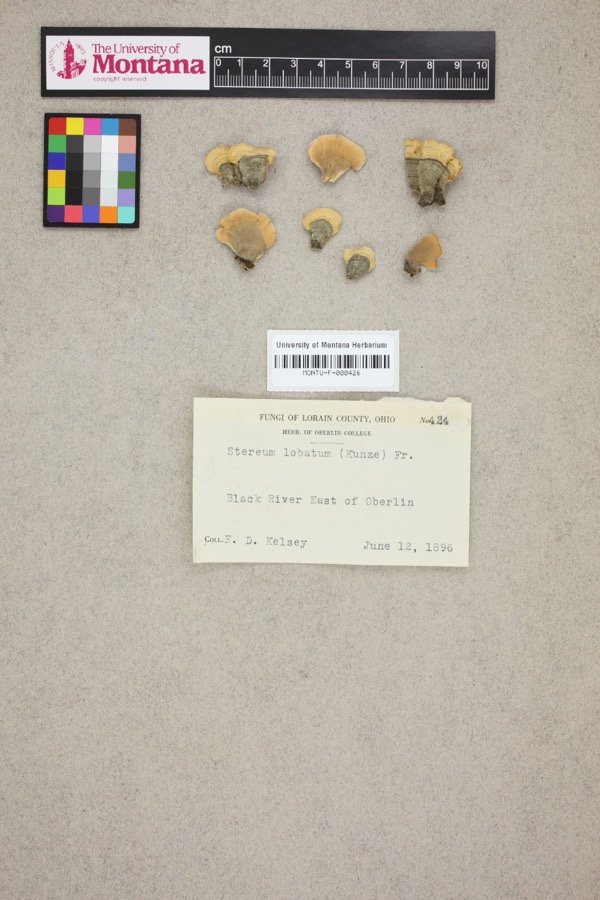
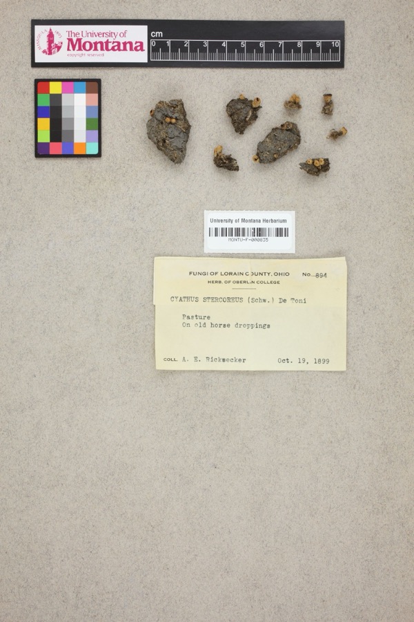
Specimens collected near this property
12 of 1,550 shown
Regional context, not property-specific
evidence. Museums hold 1,550 specimens
collected within 10 miles of Garfield, Milton, House between 1853 and
1975: 1,163 Animalia, 308 Fungi, 69 Plantae, 6 Unrecorded, 4 Protozoa. 12 distinct Species records are shown.
Collected by ?, A. A. Wright, A. E. Ricksecker and others. Each is a
physical object with a catalogue
number, and each entry opens the museum's record. This is what was
collected and kept, not a survey of what lives here - nothing can be
concluded from a species being absent.
Regional context, not property-specific
evidence. The federal mineral resources record lists
2 workings within 5 miles of Garfield, Milton, House: 1 producer, 1 past producer.
1 still produces. What was taken out: Stone, Sand and Gravel, Construction. Distance is straight-line from the
map coordinates, so a quarry counted here may appear on a neighbouring
settlement's page as well.
Regional context, not property-specific
evidence. The National Weather Service names
Sheffield, the town this property stands in, in 12 storm reports between 2005 and 2024: 8 thunderstorm wind, 2 flash flood, 1 hail, 1 tornado.
No death or injury is recorded in these reports. Each account below is quoted exactly as the forecast office
filed it, from the NOAA Storm Events Database, and each date
opens the federal record of that event.
On the evening of May 12th torrential rainfall dropped an estimated 5 inches of rainfall in 90 minutes over Avon in northern Lorain County. The French Creek flooded from local runoff and routed water from upstream North Ridgeville where the heaviest rain fell. The French Creek, which runs from southeast to northwest through town, flooded several roads and damaged the Mill Road with a washout. 50 to 75 homes sustained basement flooding.
Heavy rainfall, measured at 6.5 inches in 3.5 hours was measured by the Sheffield Village service department on the evening of May 12th. Runoff combined with routed water upstream from North Ridgeville and Avon caused the French Creek to rise 10 to 15 feet above flood stage in Sheffield Village. A half dozen buildings were flooded form the French Creek along with eight homes. The creek crested around 1230 am. State Route 201 was closed for eight hours. There were no water rescues and the infrastructure did not sustain any notable damages.
This tornado had peak intensity of EF1, estimated peak winds of 110 mph, moved generally east-northeastward, and caused sporadic damage along its path. The tornado began at an industrial facility along Miller Road on the northwest side of Avon, where a portion of a building's roof was removed. It snapped multiple trees and lofted a trampoline into the street along Wedgewood Drive in Avon Lake, and snapped multiple trees and removed shingles from a house on Teasel Court in Avon Lake. Additional and sporadic tree damage occurred before the tornado exited Lorain County and entered Cuyahoga County just west of Wolf Road, along the Avon Lake/Bay Village border.
No historic map-sheet match is published
for this property yet. That does not mean no map exists. This record needs
a coordinate-quality review before it can be joined to a sheet boundary.
Browse the county's mapped places while that work is
pending.
From the nomination file
3,076 words on record
When this property was proposed for the
National Register, someone wrote the case for it: what the building is,
and why it matters. That document is a federal record in the public domain.
It is quoted below word for word, never summarised. The text was read off the scanned case file by machine, so the
occasional stray character is the recogniser's and the 1970s
typewriter's.
Description of the property
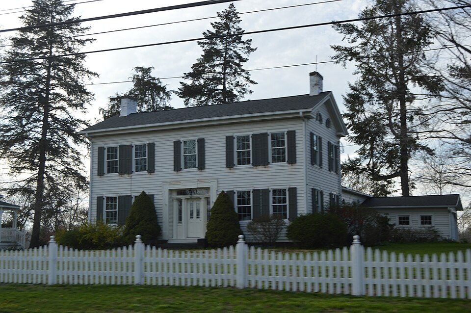
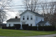
The Milton Garfield House is a large, two story wood frame building that is Greek Revival but of a lower height, which contains a kitchen, parlor and bedrooms. The front facade of the features. Recessed from: this molding is the doorway itself, which is surrounded by narrow-retangular of this wing and is a later addition. western parlor has a more elaborate rosette.The woodwork is simple and massive, but differs from fireplace, that also contains a Dutch oven. An interesting feature of this room are the built-in möntel clock, is located on the southern wall between two doorways. A gun cabinet is located Most of the original outbuildings have vanished over the years. A medium sized barn, which CONDITION UNEXPOSED DETERIORATED columns.
XEXCELLENT FAIR Revival about the corner blocks and the block directly above the door are typically Federal CHECK ONE side and top windows.The entranceway is further distinguished by four freestanding Tuscan XALTERED cabinets that appear in several places. A cabinet, that through tradition has always held a large house and feature partial returns at the cornice and two quarter circle attic windows, which are their original shutters in place.A striking feature of this facade is the central entrance.The placed on either sides of a central chimney concealed behind the clapboard siding. The rear walls.Behind these rooms and at the end of the central hallway is the main parlor.lt has a huge edge of a cluster of buildings that was once an early settlement in Sheffield Township.
The sides of this main portion of the house are two bays wide.
When completed in 1839, the Milton Garfield House was one of the largest, if not the largest, Thomas E. O' Donnell, a well known architectural historian in the early 1900's, visited this craftmanship. I. T. Frary, in his book on Ohio homes, devotes a considerable amount of space a number of other early houses in the Sheffield Avon area. Halsey Garfield, "Milton's son, built"* habitable again. During the restoration in the 1930's, very few changes were made and the house throughout, much of which actually belonged to the Garfield family. 1600-1699 1839 INVENTION ART COMMUNICATIONS ARCHEOLOGY-HISTORIC SCIENCE LAW AGRICULTURE PERIOD THEATER SCULPTURE TRANSPORTATION MILITARY SIGNIFICANCE LITERATURE INDUSTRY MUSIC XARCHITECTURE X.EXPLORATION/SETTLEMENT original fire places.
_CONSERVATION _POLITICS/GOVERNMENT This house is a very prominent Lorain County landmark and was one of the first Greek Revival until this house was erected. Garfield ran alarge prosperous farm on this property and was active _ENGINEERING makes specific mention the unusual recessed cabinets that this house has and praises its expert _COMMERCE BUILDER/ARCHITECT _SOCIAL/HUMANITARIAN _PHILOSOPHY _EDUCATION _ECONOMICS -1500-1599 the Halsey Garfield House Sheffield.The present owners have themselves bought and restored Tyring, Massachusetts.He married Temple Williams and lived in a log house directly east of here today is very much as it was in the time of Milton Garfield.lt is furnished withperiod furniture house in 1921 and made measured drawings of the fireplaces in this house.
An article by O'Donnell the house and property had deteriorated considerably and much work was required to make it and encouraged the restoration of several other Pre Civil War houses in Sheffield.
Quoted from the National Register nomination
for reference 78002117, 18 pages, held by the National Archives in Record
Group 79. See the
catalogue record.
Listed places nearby
6 within 8 miles
Other National Register properties close
enough to walk or drive between, ordered by distance from this one. Both
positions come from the same geocoding pass that matched these properties
to their map sheets.
Listing record. National Park Service National Register of Historic Places, listed-properties dataset, current to 2026-05-22.
Map join. Address geocoded through the United States Census geocoder, then tested against the published boundary of every sheet in the USGS Historical Topographic Map Collection.
How this page is made. Listing fields come from federal records; map-sheet coverage is a labelled coordinate-to-boundary calculation, not a source-field claim.
Specimens. Global Biodiversity Information Facility (GBIF), https://www.gbif.org/. Only records licensed CC0 or CC BY are used. Records licensed CC BY-NC are excluded because this site carries advertising. Images are checked individually and any whose licence is non-commercial, no-derivatives or unreadable is refused.
Mines and quarries. USGS Mineral Resources Data System (MRDS) https://mrdata.usgs.gov/mrds/ A work of the United States government, no copyright under 17 U.S.C. 105.
Storms. NOAA National Centers for Environmental Information, Storm Events Database https://www.ncei.noaa.gov/stormevents/ A work of the United States government, no copyright under 17 U.S.C. 105. Narratives are quoted verbatim from the National Weather Service report and are not edited or summarised.
 Block
Block