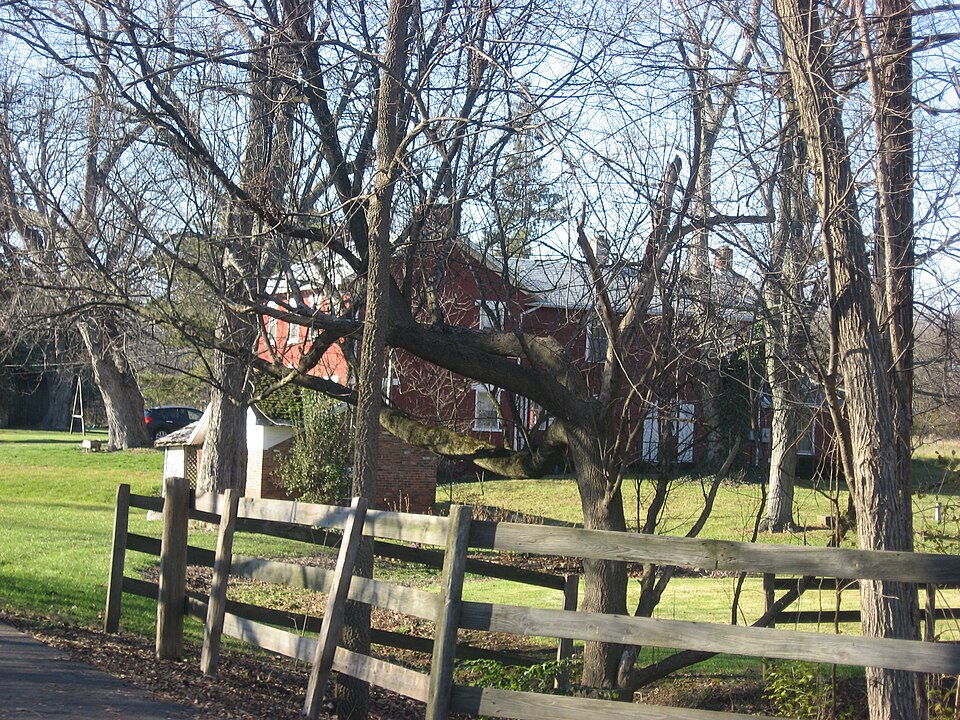
Listed on the National Register of Historic Places in
1978. A historic map-sheet match is not published yet. The record needs a coordinate-quality review before it can be joined to a sheet boundary.
From the record
one of 117 National Register listings in Montgomery County · listed in 1978 · category: Building · one of 4 National Historic Landmarks in Montgomery County.
National Register reference number.78002143- the number the National Park Service assigned this property when it was listed, and the key its nomination file is catalogued under at the National Archives.
Regional context, not property-specific
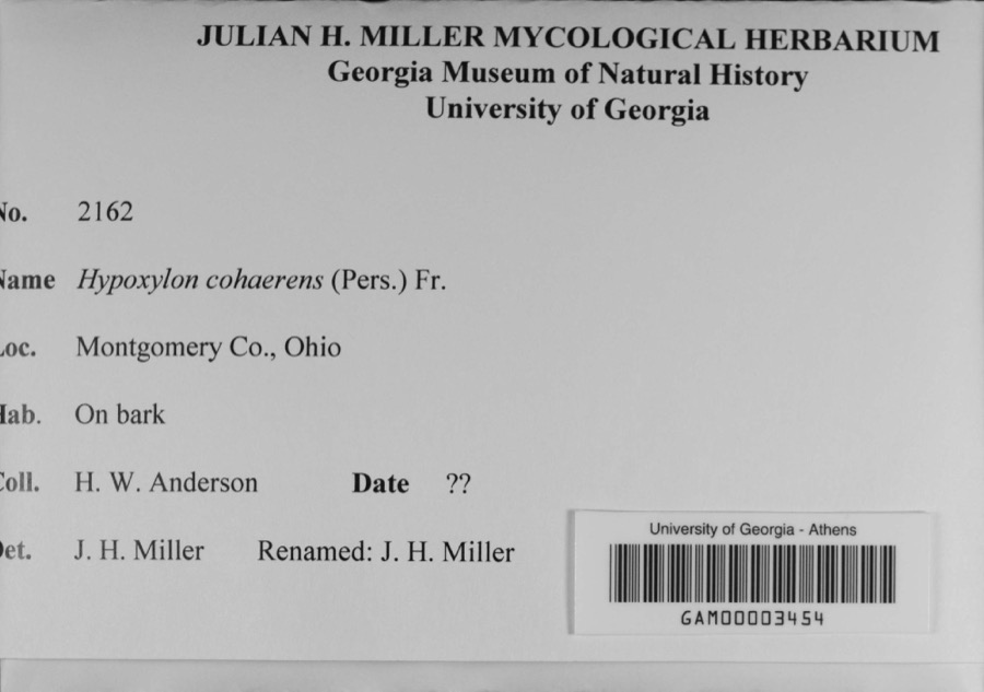
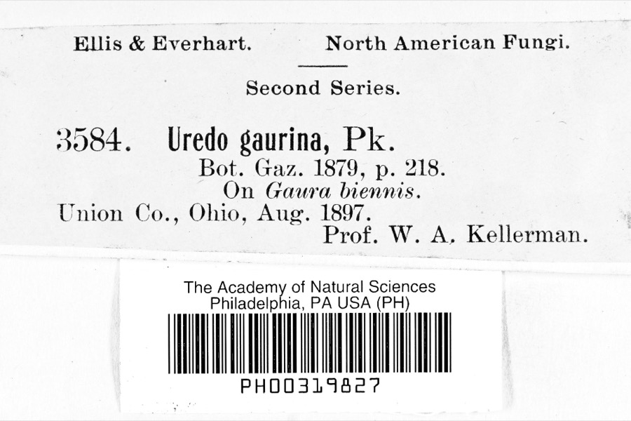
evidence. Museums hold 405 specimens
collected within 10 miles of Flory, Joseph, House between 1897 and
1974: 386 Animalia, 9 Fungi, 6 Plantae, 3 Protozoa, 1 Unrecorded. 12 distinct Species records are shown.
Collected by Allen, John, Arden R. Gaufin, BOYER AND DUELLMAN and others. Each is a
physical object with a catalogue
number, and each entry opens the museum's record. This is what was
collected and kept, not a survey of what lives here - nothing can be
concluded from a species being absent.
Regional context, not property-specific
evidence. The federal mineral resources record lists
5 workings within 5 miles of Flory, Joseph, House: 2 past producers, 2 producers, 1 plant.
3 still produce. What was taken out: Sand and Gravel, Construction, Limestone, General, Stone, Crushed/Broken. Distance is straight-line from the
map coordinates, so a quarry counted here may appear on a neighbouring
settlement's page as well.
Regional context, not property-specific
evidence. The National Weather Service names
Clayton, the town this property stands in, in 6 storm reports between 2013 and 2021: 3 thunderstorm wind, 3 hail.
No death or injury is recorded in these reports. Each account below is quoted exactly as the forecast office
filed it, from the NOAA Storm Events Database, and each date
opens the federal record of that event.
No historic map-sheet match is published
for this property yet. That does not mean no map exists. This record needs
a coordinate-quality review before it can be joined to a sheet boundary.
Browse the county's mapped places while that work is
pending.
From the nomination file
3,233 words on record
When this property was proposed for the
National Register, someone wrote the case for it: what the building is,
and why it matters. That document is a federal record in the public domain.
It is quoted below word for word, never summarised. The text was read off the scanned case file by machine, so the
occasional stray character is the recogniser's and the 1970s
typewriter's.
Description of the property
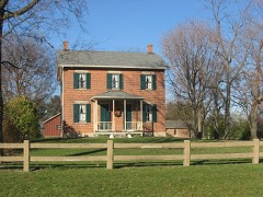
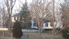
a large frame barn, a machine shed, and a masonry dairy of twentieth. CONDITION DETERIORATED century construction. RUINS FAIR GOOD the basement on bedrock and a high front foundation of stone roof side porch. _UNALTERED The rear wing is weatherboard with interior end chimney and is extended by a gable addition with a second inside end chimney.A of four bays has a three panel door with a Colonial Revival broken one story gable addition is to the rear and a wood shed that has _UNEXPOSED This L plan country federal farm house sits on a knoll with CHECK ONE DATE The eaves project sloping and the gables verge projecting stoop with straight steps.T The ends are seven course American bond with wood lintels and sills. with frieze.The asphalt shingle roof has inside end chimneys. two bays.
The gable roof has a transverse section To the right front of the house on lower ground is an excellent pediment frontispiece in the left center bay. with a recessed cellar door on the right.The Flemish bond brick facade work entrance working area. The west side between the brick house and the wood shed is a shed with elevated roof on the east end.Other buildings to the west are There is a concrete AREAS OF
Statement of significance
1600-1699 ARCHEOLOGY-HISTORIC LAW ART ECONOMICS ARCHEOLOGY-PREHISTORIC INVENTION PERIOD EDUCATION SIGNIFICANCE 1900- SCIENCE PHILOSOPHY ENGINEERING MILITARY EXPLORATION/SETTLEMENT THEATER LITERATURE MUSIC INDUSTRY _COMMERCE _TRANSPORTATION _POLITICS/GOVERNMENT Hamilton M.Turner bought the farm from Jacob Flory's estate _CONSERVATION X1800-1899 wing since it is questionable that Hamilton Turner occupied the _1700-1799 setting on a knoll with mature trees.The lane runs from Diamond Turner already owned the mill pond that fed his large distillery, was a community leader and at one time was on the school board. _COMMUNICATIONS having the first plat of fifteen lots laid out. _SOCIAL/HUMANITARIAN -1400-1499 visual effect of an early Ohio farmstead.
bill for flooring, staircase, siding, sashes, and doors was found for only four years. member ("Dunkard") butsay nothing of John's faith.John Sayler -SCULPTURE He became the proprietor of Brookville, two miles to the southwest, by -RELIGION in l82l less a ten acre parcel that was part of a mill pond. saw flouring mill in Salem (Clayton).He held the land Township c. 1817. The enterprising parentage. springhouse. house.
The more modern frame farm structures add to the Revolutionary War veteran Joseph Flory and his family moved This country Federal farmhouse is in an outstanding rural Sayler was born in Maryland of Swiss derivative Dunkard was married to Harriet Wampler by an Old German Baptist church They bought the southeast quarter of section 24 it may be presumed he did not reside on the farm. Mill Road between marshy ponds that are the remainder of Hamilton Joseph died in l823 just as the house was completed.A joiner's He migrated to Ohio in l862 to work as a miller and John Sayler Saylor)bought the farm in 1872 and "greatly
Quoted from the National Register nomination
for reference 78002143, 17 pages, held by the National Archives in Record
Group 79. See the
catalogue record.
Listed places nearby
6 within 8 miles
Other National Register properties close
enough to walk or drive between, ordered by distance from this one. Both
positions come from the same geocoding pass that matched these properties
to their map sheets.
Listing record. National Park Service National Register of Historic Places, listed-properties dataset, current to 2026-05-22.
Map join. Address geocoded through the United States Census geocoder, then tested against the published boundary of every sheet in the USGS Historical Topographic Map Collection.
How this page is made. Listing fields come from federal records; map-sheet coverage is a labelled coordinate-to-boundary calculation, not a source-field claim.
Specimens. Global Biodiversity Information Facility (GBIF), https://www.gbif.org/. Only records licensed CC0 or CC BY are used. Records licensed CC BY-NC are excluded because this site carries advertising. Images are checked individually and any whose licence is non-commercial, no-derivatives or unreadable is refused.
Mines and quarries. USGS Mineral Resources Data System (MRDS) https://mrdata.usgs.gov/mrds/ A work of the United States government, no copyright under 17 U.S.C. 105.
Storms. NOAA National Centers for Environmental Information, Storm Events Database https://www.ncei.noaa.gov/stormevents/ A work of the United States government, no copyright under 17 U.S.C. 105. Narratives are quoted verbatim from the National Weather Service report and are not edited or summarised.
 Block
Block