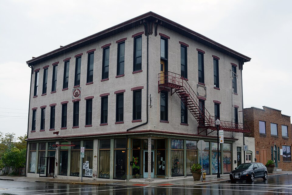
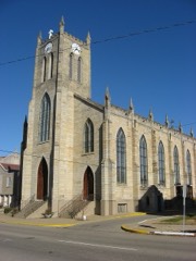
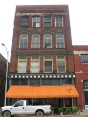
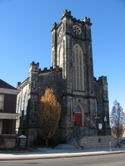
Listed on the National Register of Historic Places in
1978. A historic map-sheet match is not published yet. The record needs a coordinate-quality review before it can be joined to a sheet boundary.
From the record
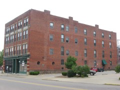
“The Lafayette Lodge No. 79, at 3867 Northpoint Dr. in Zanesville, Ohio, was built in 1991.”
Wikipedia article Lafayette Lodge No. 79, CC BY-SA 4.0.
one of 70 National Register listings in Muskingum County · listed in 1978 · category: Building.
National Register reference number.78002163- the number the National Park Service assigned this property when it was listed, and the key its nomination file is catalogued under at the National Archives.
What happened here
An account from the chapter on Zanesville city, The inset identifies its exact
source book and publication year.
was so named in honor of Captain John C. Hazlett, of 2d O. V. I., and his cousin, Harry Hazlett, of the 5th U.S. Artillery, both of whom were killed during the Civil war; the post was organized June 1, 1881, with the following officers: C. C. Goddard, post commander; M. V. B. Kennedy, senior vice commander; Wilson C.
The first election for officers for the town of Zanesville was held April 2, 1814, and resulted in, the choice of William Craig, mayor; William Blocksom, recorder; Samuel Frazey, treasurer; Ezekial Bassett, appraiser; Peter Mills, George Reeve, Nathan C. Findlay and James Hampson, councilmen. Findlay refused to serve and John Hamm was chosen to fill the vacancy. The mayor-elect was an Irishman, and carpenter by trade, who came to the town in 1805, and with Thomas Moorehead erected the first Methodist church, in Second street; he was a devout Methodist and had the confidence of his neighbors, but had an insatiable ambition to hold public office; his elevation to the mayoralty caused him to aspire to gubernatorial honors and he became a candidate ; fifty-one votes were cast in his favor in Muskingum county, and none elsewhere, but he was ever after called '""Governor,'' and was pleased with the sobriquet. In 1817 he was appointed collector of county taxes and absconded with the money, located near St. Louis, where his wife joined him and where his investments in real estate made him very wealthy. His bondsmen were James' Mc- Guire, who was bankrupted; James Linder, who was nearly ruined; and James Herron and James Hampson, who were able to sustain the loss without injury.
July 2, 1819, the County Commissioners created Zanesville township, beginning on the Muskingum river on the line dividing the twelfth and thirteenth ranges; thence north to the military line; thence east to the line dividing the sixth and seventh ranges; thence north with said line to the line dividing the second townships of ranges six and seven; thence west to the Muskingum river and down it with the meanderings to the place of beginning. This tract embraces nearly all of what is now Wayne and Washington townships and the present city east of the river; Washington township was cut off June 5. 1822, and Wayne, \larch 6, 1826. Several amendments to the original act were made and March 19, 1850, an act was passed creating the city of Zanesville, which was to comprise so much of the county of Muskingum as was embraced within the limits of and designated in the records of the county as Zanesville township. The act divided the city into four wards, the east and west line of division being the center of the National road from the eastern boundary of the township to the intersection with the center of Fountain alley, and from that point with the center of the allev to the river; the north and south division line was the center of Cypress alley, from both sides of the city. The First ward was the southwest corner of the city as so divided: the Second ward, the northwest corner ; the Third ward, the southeast corner and the Fourth ward, the northeast corner. The mayor was to be
Regional context, not property-specific
evidence. The
federal wildfire occurrence database
lists 60 fires within 5 miles of Lafayette Lodge No. 79 between
2002 and 2020, burning about 47 acres in total. None started naturally. 2 were recorded as arson.
Distance is straight-line from the map coordinates, so a fire counted
here may appear on a neighbouring settlement's page as well.
Reported cause
Fires
Debris and open burning
34
Power generation/transmission/distribution
7
Equipment and vehicle use
6
Missing data/not specified/undetermined
5
Smoking
3
Arson/incendiarism
2
Recreation and ceremony
2
Other causes
1
The most recent of
them, most recent first, with the day each was reported and the service
that recorded it.
Regional context, not property-specific
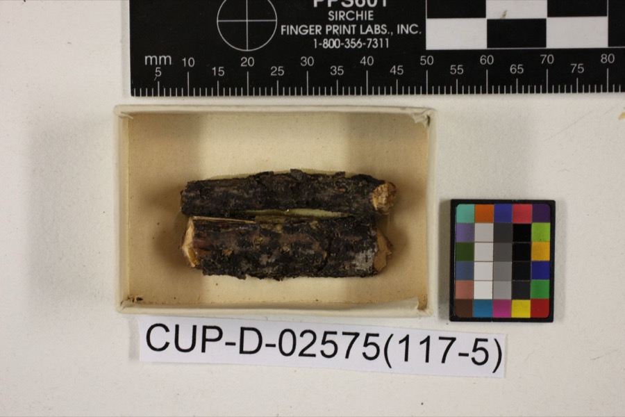
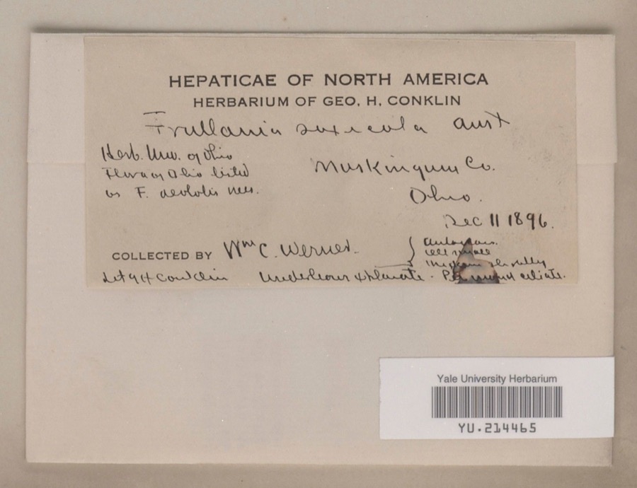
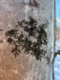
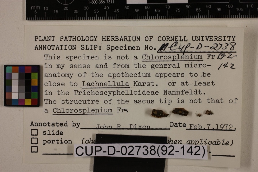
evidence. Museums hold 849 specimens
collected within 10 miles of Lafayette Lodge No. 79 between 1873 and
1975: 737 Animalia, 87 Plantae, 15 Fungi, 5 Protozoa, 4 Unrecorded, 1 Chromista. 12 distinct Species records are shown.
Collected by A.E. Miller, Adams, W. (William), Trautman, M. B. (Milton Bernard) et al., Adams, W. M. and others. Each is a
physical object with a catalogue
number, and each entry opens the museum's record. This is what was
collected and kept, not a survey of what lives here - nothing can be
concluded from a species being absent.
Regional context, not property-specific
evidence. The federal mineral resources record lists
7 workings within 5 miles of Lafayette Lodge No. 79: 4 producers, 3 past producers.
4 still produce. What was taken out: Sand and Gravel, Construction, Iron. Distance is straight-line from the
map coordinates, so a quarry counted here may appear on a neighbouring
settlement's page as well.
Regional context, not property-specific
evidence. The National Weather Service names
Zanesville, the town this property stands in, in 113 storm reports between 1994 and 2026: 62 thunderstorm wind, 26 hail, 17 flash flood, 5 flood.
The reports record 1 death. Each account below is quoted exactly as the forecast office
filed it, from the NOAA Storm Events Database, and each date
opens the federal record of that event.
Thunderstorm winds blew down four power poles and power lines just north of Zanesville. Several trees were also reported down across the eastern part of the county.
Street flooding was reported in and near Zanesville after 1.30 inches fell in 20 minutes. Large branches were downed east of Zanesville. One branch fell on a passing motorist's car. There was no mention of any injuries.
No historic map-sheet match is published
for this property yet. That does not mean no map exists. This record needs
a coordinate-quality review before it can be joined to a sheet boundary.
Browse the county's mapped places while that work is
pending.
From the nomination file
1,579 words on record
When this property was proposed for the
National Register, someone wrote the case for it: what the building is,
and why it matters. That document is a federal record in the public domain.
It is quoted below word for word, never summarised. The text was read off the scanned case file by machine, so the
occasional stray character is the recogniser's and the 1970s
typewriter's.
Description of the property
comparatively unaltered on the exterior.. There are nine windows, on each to the overall character of the hall, do testify to the build- CONDITION MOVED three sides. and north walis; all bracketry except that at the northeast and southeast the passing of coal heat, these have been removed. third floor facade on the south is a date stone, complete with a badly-worn brick building stands just north of the lodge along North Fourth Street. 7DESCRIPTION CHECK ONE ing's former use as a furniture retail facility. Offices are now being XORIGINAL SITE _EXCELLENT - UNEXPOSED - UNALTERED DATE. floor on the south side, and five on the east. _ All windows are double-hung At Least. five chimneys. at one time rose from the roof of the lodge.
With and the resulting space is paved and used for parking.A 1920s vintage between the middle windows of the second and third floor.Fram a drawing There are three stories and a and the third floor, once the meeting place of the various fraternal At the center of the second and ded along the Fourth Street side also.The second and third floors are ing its long life.
The alterations are capped with slightly pitched stone lintels.Some windows on the west sectionalong Market Street on the south side; this feature has been exten- and north sides have been bricked shut.A above, a building once built against the hall's west side has been razed, a narrow one-story brick addition on the north side and an elevator shaft LaFayette Lodge stands one block north of Main Street (once the appended at the west end of the same side. n to the street level, although relatively AREAS OF
Statement of significance
one particular style, the hall does exhibit some detailing of the early and Isaac VanHorne, Revolutionary soldier-friend of Lafayette and Washington this as their lodge until 1903, when the present Masonic Temple ART PERIOD PHILOSOPHY AGRICULTURE THEATER MILITARY LITERATURE SIGNIFICANCE _ENGINEERING _TRANSPORTATION INDUSTRY _EXPLORATION/SETTLEMENT a third story onto a new two-story schoolhouse, with the intent of using XARCHITECTURE _SCIENCE fraternal bodies,it has been in continuous use since its.erection,with 1700-1799 _PREHISTORIC _COMMERCE the addition of the Fourth Street storewindows) took place in 1923,for _CONSERVATION _INVENTION was erected one-half block of the old hall, on the east side of North _1600-1699 _1400-1499 the street level store rooms being used variously asa grocery, confection- -1500-1599 _EDUCATION _ECONOMICS -1900- - MUSIC -LAW ARCHEOLOGY-PREHISTORIC -COMMUNITY PLANNING Landscape oi downtown Lanesville, and played a central role in the frater- This building was used until 1858, when all Due' to some'tinrest preceeding the Civil War, X SOCIAL/HUMANITARIAN SPECIFIC DATES 1857-1861 BUILDER/ARCHITECT David Hatton take on its early impressive appearance in downtown Zanesville.
story log house, making the Lodge the oldest organization of its kind in ary, and furniture store. the third story as their hall. local Masonic bodies agreed to build a temple at the northwest corner of nal 1ife of the city for almost fifty years.While characteristic of no The first Masonic meetings in Zanesville were held in 1805,in a two- to France and a contender for the 1848 Democratic presidential nomination, The remodeling of the first floor probably and clean the facade of the lodge, to allow the building to once again
Quoted from the National Register nomination
for reference 78002163, 12 pages, held by the National Archives in Record
Group 79. See the
catalogue record.
Listed places nearby
6 within 8 miles
Other National Register properties close
enough to walk or drive between, ordered by distance from this one. Both
positions come from the same geocoding pass that matched these properties
to their map sheets.
Listing record. National Park Service National Register of Historic Places, listed-properties dataset, current to 2026-05-22.
Map join. Address geocoded through the United States Census geocoder, then tested against the published boundary of every sheet in the USGS Historical Topographic Map Collection.
How this page is made. Listing fields come from federal records; map-sheet coverage is a labelled coordinate-to-boundary calculation, not a source-field claim.
Wildfire. Short, Karen C. 2022. Spatial wildfire occurrence data for the United States, 1992-2020 [FPA_FOD_20221014]. 6th Edition. Fort Collins, CO: Forest Service Research Data Archive. https://doi.org/10.2737/RDS-2013-0009.6 Collected with United States Government funding and usable without additional permissions or fees.
Specimens. Global Biodiversity Information Facility (GBIF), https://www.gbif.org/. Only records licensed CC0 or CC BY are used. Records licensed CC BY-NC are excluded because this site carries advertising. Images are checked individually and any whose licence is non-commercial, no-derivatives or unreadable is refused.
Mines and quarries. USGS Mineral Resources Data System (MRDS) https://mrdata.usgs.gov/mrds/ A work of the United States government, no copyright under 17 U.S.C. 105.
Storms. NOAA National Centers for Environmental Information, Storm Events Database https://www.ncei.noaa.gov/stormevents/ A work of the United States government, no copyright under 17 U.S.C. 105. Narratives are quoted verbatim from the National Weather Service report and are not edited or summarised.
 Block
Block