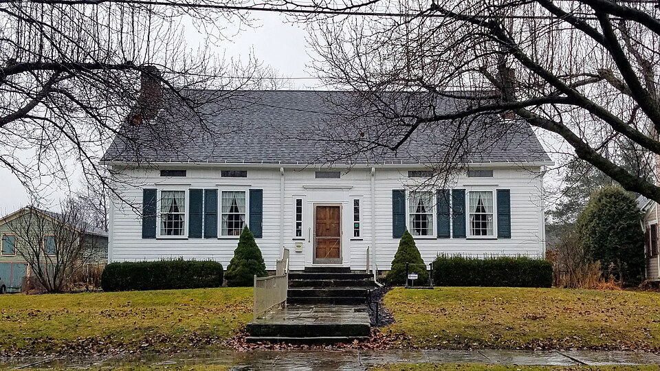
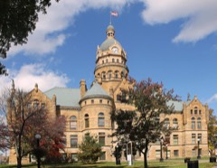
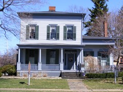
Built in 1807. Listed on the National Register of Historic Places in
1978. A historic map-sheet match is not published yet. The record needs a coordinate-quality review before it can be joined to a sheet boundary.
From the record
one of 32 National Register listings in Trumbull County · listed in 1978 · category: Building · built in 1807 · one of 1 National Historic Landmarks in Trumbull County.
National Register reference number.78002199- the number the National Park Service assigned this property when it was listed, and the key its nomination file is catalogued under at the National Archives.
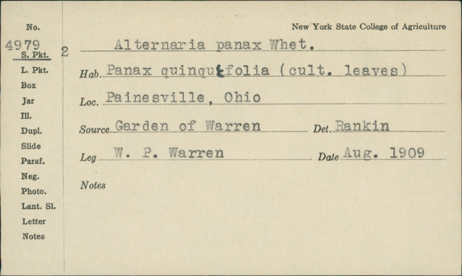
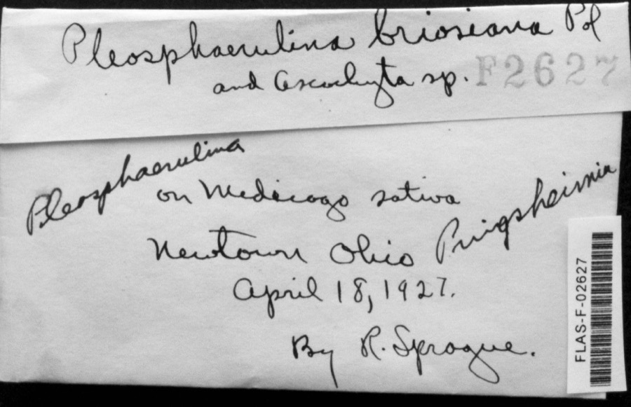
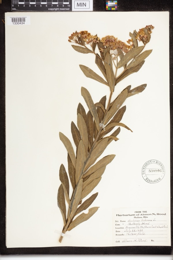
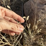
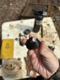
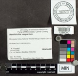
Specimens collected near this property
12 of 241 shown
Regional context, not property-specific
evidence. Museums hold 241 specimens
collected within 10 miles of Edwards, John Stark, House between 1890 and
1975: 193 Animalia, 40 Plantae, 4 Fungi, 2 Protozoa, 2 Chromista. 12 distinct Species records are shown.
Collected by A. N. Rood, Almon N. Rood, Armbruster, D. C. (Daniel C.) and others. Each is a
physical object with a catalogue
number, and each entry opens the museum's record. This is what was
collected and kept, not a survey of what lives here - nothing can be
concluded from a species being absent.
Regional context, not property-specific
evidence. The federal mineral resources record lists
4 workings within 5 miles of Edwards, John Stark, House: 3 producers, 1 plant.
All of them still produce. What was taken out: Iron, Titanium, Metal. Distance is straight-line from the
map coordinates, so a quarry counted here may appear on a neighbouring
settlement's page as well.
Regional context, not property-specific
evidence. The National Weather Service names
Warren, the town this property stands in, in 61 storm reports between 1996 and 2024: 35 thunderstorm wind, 24 hail, 1 flash flood, 1 lightning.
No death or injury is recorded in these reports. Each account below is quoted exactly as the forecast office
filed it, from the NOAA Storm Events Database, and each date
opens the federal record of that event.
A thunderstorm downburst with peak winds estimated to be at least 85 mph caused considerable damage on the northeast side of Warren. A distinct two mile long path of damage was observed. The first damage was observed in the Lincoln Park area of Warren. The damage path then stretched northeast across a neighborhood bordered to the south by Reeves Road and to the east by North Road. At least three apartment buildings along Cranberry Lane in this neighborhood sustained roof and siding damage. About a dozen homes in the area also sustained minor damage, mainly from missing siding or shingles. A couple of the homes did have trees land on them causing more significant roof damage. Dozens of trees and large limbs were downed along the damage path which was up to 150 yards in width. The damage path ended just east of State Route 82 near where it crosses Mosquito Creek.
A line of showers and thunderstorms moved east across Trumbull County knocking down trees throughout the county. Scattered power outages were reported.
Trumbull County Dispatch reported severe thunderstorm winds caused widespread trees and power lines down across the County, especially in Warren and Girard. Numerous power outages in Warren and Girard with many trees on homes causing roof damage.
Thunderstorm winds downed many trees, A house on the northwest side of Warren suffered major structural damage from a fallen tree. The tree damaged a large section of roof and crushed an exterior wall.
2 papers published in this town,
digitised by the Library of Congress and free to read: 0 issues,
0 pages. Every page is searchable, so a name or a street can be
looked for directly in what the town printed about itself at the time.
No historic map-sheet match is published
for this property yet. That does not mean no map exists. This record needs
a coordinate-quality review before it can be joined to a sheet boundary.
Browse the county's mapped places while that work is
pending.
From the nomination file
1,601 words on record
When this property was proposed for the
National Register, someone wrote the case for it: what the building is,
and why it matters. That document is a federal record in the public domain.
It is quoted below word for word, never summarised. The text was read off the scanned case file by machine, so the
occasional stray character is the recogniser's and the 1970s
typewriter's.
Description of the property
floor has two rooms on either side of the stairway, with closets under the eaves. The entrance consists of a paneled door, two Tuscan pilasters, a full entabla- floor, and three 12x12 windows asymmetrically located on the lower floor. The CONDITION ashlar.
XEXCELLENT DETERIORATED XALTERED FAIR with two front rooms and two bedrooms and a kitchen at the rear.The upper setting.The basement is used as an historical museum and the first floor entablature.The facade windows repeat the projecting architrave detail with fans, two smaller double-hung windows symmetrically placed on the second CHECK ONE ture with a projecting cornice and wide frieze, and two narrow five-lighted windows that serve as sidelights even though they are located outside of the wall surface has narrow siding and corner boards, with a foundation of coursed and Iddings families. broad lawn and extensive plantings retains the quality of the house's original original foundation stones were marked and relaid.
The new site, with its The facade has a central entrance flanked by four l2xl2 double-hung windows. The only changes have been the addition of a small lavatory on the lower floor an ogee molding. Above these lower openings are narrow three-lighted windows the structure with pavement. Relocated three city blocks to the east, the and a kitchen and bathroom on the upper floor.The house was moved from house was placed in its original orientation on a new basement.
John Stark Edwards, the grandson of New England's Jonathan Edwards, came to The house, built in 1807, was sold upon John Stark Edwards' death in 1813 to Trump of Fame". His daughter, Laura, married Dr. Warren Iddings and raised a family that resided in the house until 1938. In that year, the Trumbull County Historical Society incorporated and purchased setting would be maintained.
1807 1800-1899 1700-1799 1400-1499 EDUCATION TRANSPORTATION BUILDER/ARCHITECT ART PERIOD SCULPTURE AGRICULTURE SIGNIFICANCE SCIENCE THEATER ARCHEOLOGY-HISTORIC LITERATURE MILITARY INDUSTRY COMMERCE POLITICS/GOVERNMENT INVENTION RELIGION XARCHITECTURE _ENGINEERING The John Stark Edwards House has been the residence of several important figures MUSIC parking lot demanded that the house be moved.This was done carefully under and the first elected representative to Congress from the Western Reserve. Trumbull County after graduating from Yale to become the Western Reserve's The house is architecturally significant as an example of the late Colonial verna- cular in Northeast Ohio where the predominant styles are Federal and Greek Colonial vernacular in Ohio.
- CONSERVATION _PHILOSOPHY _COMMUNICATIONS the supervision of an architect so that the historic orientation and immediate first resident lawyer. He also became the first Recorder of Trumbull County in the history of the Western Reserve and remains an unusual example of the late landmark in the region. -1600-1699 _SOCIAL/HUMANITARIAN the house from the Iddings family. It was dedicated as a museum on June 29,1938 -1500-1599 by Governor Davey.In 1966,the widening of a street and the construction ofa Thomas D. Webb, the founder of the Western Reserve's first newspaper,"The ment of the Western Reserve, makes the John Stark Edwards House a major _ECONOMICS -1900- - LAW _COMMUNITY PLANNING -LANDSCAPE ARCHITECTURE: Revival.
This fact, along with its connections with the early history and develop- ARCHEOLOGY-PREHISTORIC
Quoted from the National Register nomination
for reference 78002199, 10 pages, held by the National Archives in Record
Group 79. See the
catalogue record.
Listed places nearby
6 within 8 miles
Other National Register properties close
enough to walk or drive between, ordered by distance from this one. Both
positions come from the same geocoding pass that matched these properties
to their map sheets.
Listing record. National Park Service National Register of Historic Places, listed-properties dataset, current to 2026-05-22.
Map join. Address geocoded through the United States Census geocoder, then tested against the published boundary of every sheet in the USGS Historical Topographic Map Collection.
How this page is made. Listing fields come from federal records; map-sheet coverage is a labelled coordinate-to-boundary calculation, not a source-field claim.
Specimens. Global Biodiversity Information Facility (GBIF), https://www.gbif.org/. Only records licensed CC0 or CC BY are used. Records licensed CC BY-NC are excluded because this site carries advertising. Images are checked individually and any whose licence is non-commercial, no-derivatives or unreadable is refused.
Mines and quarries. USGS Mineral Resources Data System (MRDS) https://mrdata.usgs.gov/mrds/ A work of the United States government, no copyright under 17 U.S.C. 105.
Storms. NOAA National Centers for Environmental Information, Storm Events Database https://www.ncei.noaa.gov/stormevents/ A work of the United States government, no copyright under 17 U.S.C. 105. Narratives are quoted verbatim from the National Weather Service report and are not edited or summarised.
 Block
Block