Listed on the National Register of Historic Places in
1979. A historic map-sheet match is not published yet. The record needs a coordinate-quality review before it can be joined to a sheet boundary.
From the record
one of 338 National Register listings in Cuyahoga County · listed in 1979 · category: Structure · one of 3 National Historic Landmarks in Cuyahoga County.
National Register reference number.79001798- the number the National Park Service assigned this property when it was listed, and the key its nomination file is catalogued under at the National Archives.
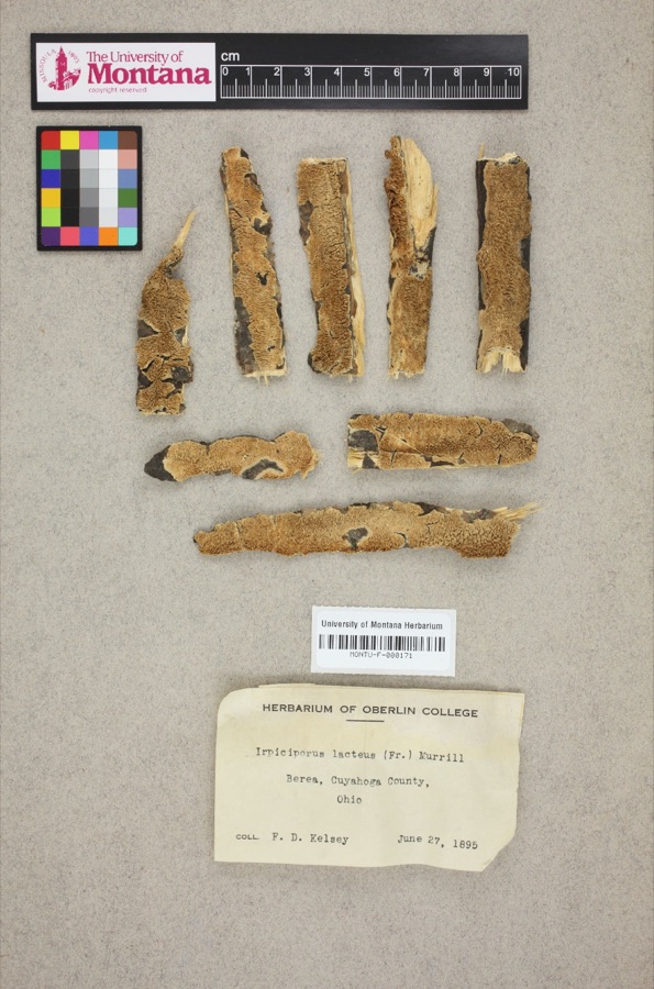
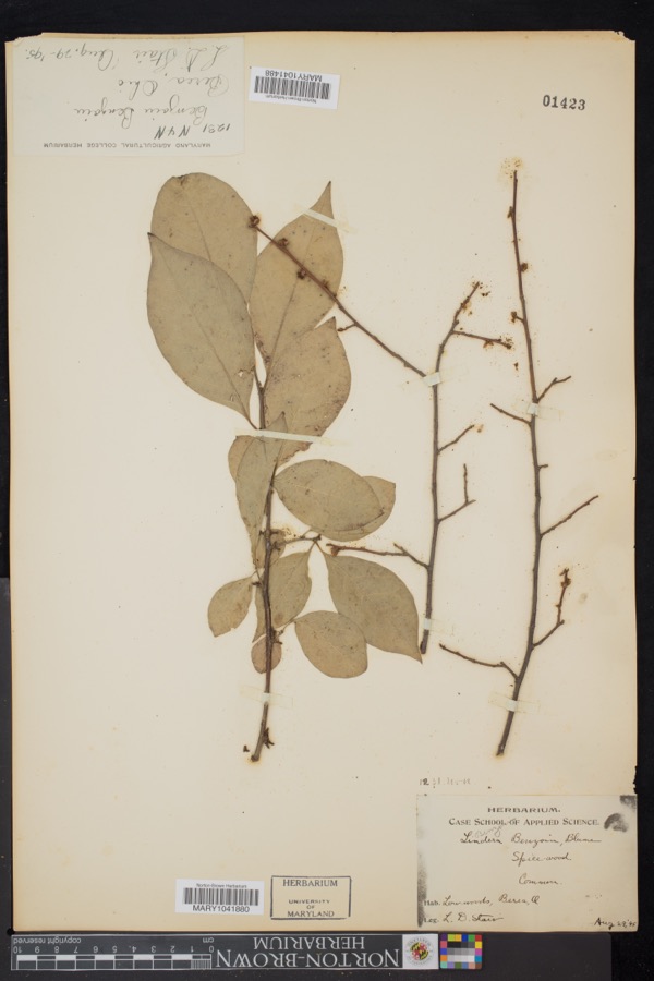
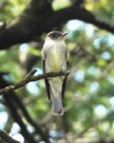
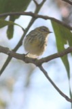
Specimens collected near this property
12 of 977 shown
Regional context, not property-specific
evidence. Museums hold 977 specimens
collected within 10 miles of Huntington, John, Pumping Tower between 1849 and
1975: 892 Animalia, 53 Plantae, 27 Fungi, 4 Protozoa, 1 Unrecorded. 12 distinct Species records are shown.
Collected by A. G. Newhall, A. Hall, A. Hull and others. Each is a
physical object with a catalogue
number, and each entry opens the museum's record. This is what was
collected and kept, not a survey of what lives here - nothing can be
concluded from a species being absent.
No historic map-sheet match is published
for this property yet. That does not mean no map exists. This record needs
a coordinate-quality review before it can be joined to a sheet boundary.
Browse the county's mapped places while that work is
pending.
From the nomination file
2,835 words on record
When this property was proposed for the
National Register, someone wrote the case for it: what the building is,
and why it matters. That document is a federal record in the public domain.
It is quoted below word for word, never summarised. The text was read off the scanned case file by machine, so the
occasional stray character is the recogniser's and the 1970s
typewriter's.
Description of the property
mately 65 feet tall. The sides are tapered with a platform and lookout at UNEXPOSED CONDITION EXCELLENT pipe. The treads are in poor condition, so access to the upper stories supported by four central wooden posts which surround a three-inch metal UNALTERED roof which shelters the concession stand windows. and beam structure has diagonal bracing and is covered with horizontal supported by Eastlake brackets, seven on each side. There is a balustered shiplap siding and corner boards.There are five windows in a vertical attached to the east side of the tower's base.
It has an overhanging gable XFAIR rank on the south elevation, and two on each of the other three sides.All railing around the top and a one story lookout with vertical board and -DETERIORATED the windows are shuttered orboarded up.The square interior stair is CHECK ONE the top giving the tower the appearance of a lighthouse. The interior post The John Huntington pumping tower is a six-story wooden tower approxi- XALTERED RUINS. batten siding and a pyramidal roof.A long one-story addition has been DATE. is prohibited.At the top of the tower there is a wide overhanging cornice -GOOD AREAS OF
Statement of significance
Mechanically inclined, he obtained patents for several improvements in the City Council, and introduced the resolution for the construction of the first INVENTION COMMERCE PERIOD EDUCATION ARCHEOLOGY-PREHISTORIC CONSERVATION EXPLORATION/SETTLEMENT ARCHEOLOGY-HISTORIC BUILDER/ARCHITECT AGRICULTURE XARCHITECTURE SIGNIFICANCE oil refining process, and later became very wealthy from his stock in ART SCULPTURE 19th century, and an important remnant from the estate of John Huntington, THEATER INDUSTRY X1800-1899 LITERATURE _POLITICS/GOVERNMENT Standard Oil. Huntington was also involved in lake shipping, stone quarrying. educational and cultural institutions. pumping machinery and was probably intentionally disguised as a lighthouse.
The Huntington pumping tower is an unusual utilitarian structure of the late where he started his own roofing business in 1857.He became associated Huntington acquired Adolphus Geuder's 100-acre farm in Bay Village some _COMMUNICATIONS was sold to the Cleveland Metropolitan Park System in 1927. For several he formed the John Huntington Benevolent Trust for the benefit of numerous in 1970, making the pump house the only major structure from Huntington's high level bridge over the Cuyahoga Valley, the Superior Viaduct.
In 1889, years the carriage house was used as the Huntington Playhouse, but it burned and railroads.From 1859 to 1873 he was an influential member of the Cleveland _TRANSPORTATION water to surrounding vineyards and orchards until l9l7.Huntington's estate with Clark, Payne and Company, a forerunner of Standard Oil in 1863. John Huntington was born in England in 1832. He moved to Cleveland in 1853, one of the most important citizens of Cleveland in that period. _PHILOSOPHY _RELIGION -1600-1699 -1500-1599 -1400-1499 - ENGINEERING time between1874 and 1880.The pumping tower was built to house water _ECONOMICS -MILITARY -_1700-1799 - MUSIC -LAW -_1900- John Huntington died in 1893. The pump house continued to be used to convey estate still standing.
Quoted from the National Register nomination
for reference 79001798, 20 pages, held by the National Archives in Record
Group 79. See the
catalogue record.
Listed places nearby
6 within 8 miles
Other National Register properties close
enough to walk or drive between, ordered by distance from this one. Both
positions come from the same geocoding pass that matched these properties
to their map sheets.
Listing record. National Park Service National Register of Historic Places, listed-properties dataset, current to 2026-05-22.
Map join. Address geocoded through the United States Census geocoder, then tested against the published boundary of every sheet in the USGS Historical Topographic Map Collection.
How this page is made. Listing fields come from federal records; map-sheet coverage is a labelled coordinate-to-boundary calculation, not a source-field claim.
Specimens. Global Biodiversity Information Facility (GBIF), https://www.gbif.org/. Only records licensed CC0 or CC BY are used. Records licensed CC BY-NC are excluded because this site carries advertising. Images are checked individually and any whose licence is non-commercial, no-derivatives or unreadable is refused.
 Block
Block