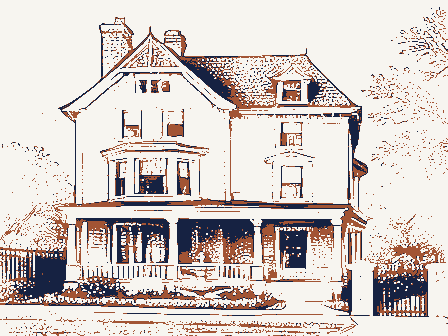
Listed on the National Register of Historic Places in
1994. A historic map-sheet match is not published yet. The record needs a coordinate-quality review before it can be joined to a sheet boundary.
From the record
one of 338 National Register listings in Cuyahoga County · listed in 1994 · category: Building · one of 3 National Historic Landmarks in Cuyahoga County.
National Register reference number.94000413- the number the National Park Service assigned this property when it was listed, and the key its nomination file is catalogued under at the National Archives.
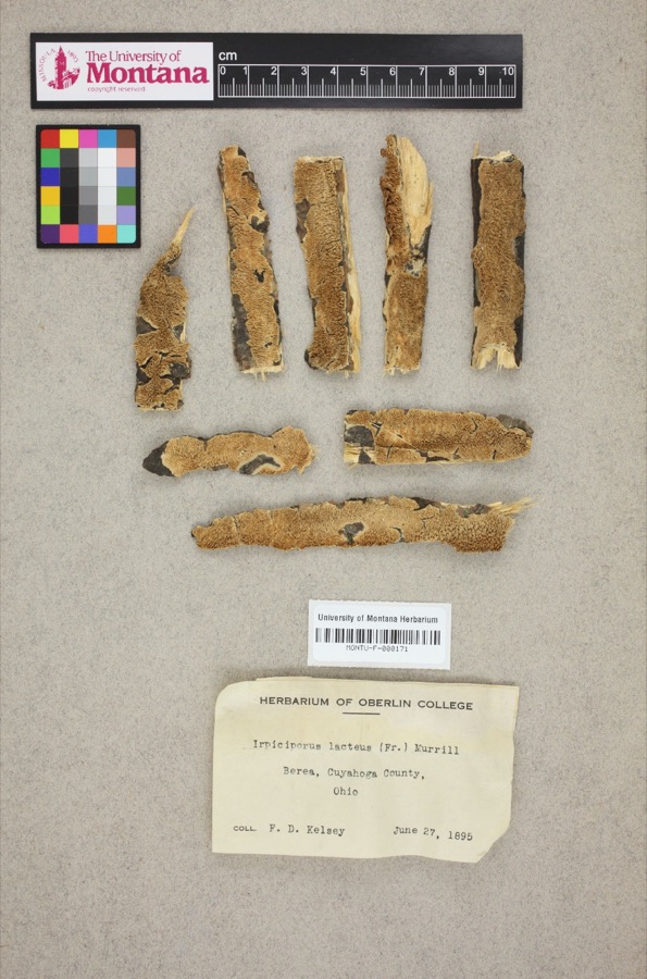
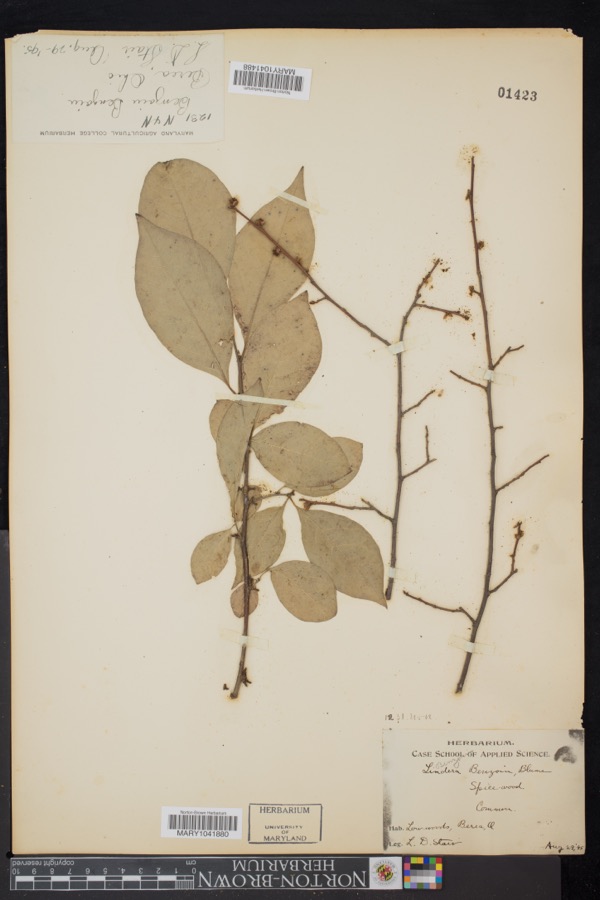
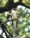
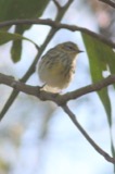
Specimens collected near this property
12 of 985 shown
Regional context, not property-specific
evidence. Museums hold 985 specimens
collected within 10 miles of Rose Hill and Community House between 1849 and
1975: 899 Animalia, 54 Plantae, 27 Fungi, 4 Protozoa, 1 Unrecorded. 12 distinct Species records are shown.
Collected by A. G. Newhall, A. Hall, A. Hull and others. Each is a
physical object with a catalogue
number, and each entry opens the museum's record. This is what was
collected and kept, not a survey of what lives here - nothing can be
concluded from a species being absent.
No historic map-sheet match is published
for this property yet. That does not mean no map exists. This record needs
a coordinate-quality review before it can be joined to a sheet boundary.
Browse the county's mapped places while that work is
pending.
From the nomination file
4,479 words on record
When this property was proposed for the
National Register, someone wrote the case for it: what the building is,
and why it matters. That document is a federal record in the public domain.
It is quoted below word for word, never summarised. The text was read off the scanned case file by machine, so the
occasional stray character is the recogniser's and the 1970s
typewriter's.
Statement of significance
[x locally Areas of Significance (enter categories from instructions) Period of Significance Architect/Builder Cahoon, Joseph (original house) State significance of property, and justify criteria, criteria considerations, and areas and periods of significance noted above. Martha Cahoon and was granddaughter of the township's first settler. She bequeathed intact the 128 acre family farmstead, bordering on Lake Erie and specified that Rose Hill "shall be forever maintained and used as a Library and Museum." At the time of its donation, this gift to the Village of Bay was the largest - preservation of an historic building, and served as a model for later philanthropy in the Cleveland area.
conversion of the former Cahoon barn into Community House in 1936, coupled with extensive federally social activities of Bay Village. The Development of a Metropolitan Park System When Ida Cahoon began to plan for the disposition of her family farmstead around the turn of the century, leader in the development of telegraph lines, donated 75 acres of land around Doan Brook to the city of death in 1892 for use as a park. This was once one of the finest parks in the nation, with beautifully landscaped grounds, but was largely destroyed in 1952 when Lakeland Freeway bisected the grounds Under Cleveland Mayor Tom L.
Johnson, who served from 1902-1909, a comprehensive plan for park X See continuation sheet 1917-1943 Social History Significant Person Applicable National Register Criteria Significant Dates Rose Hill and Community House are significant under Criterion A because of their association with the was established to manage the development of park lands.In 1897 John D. and Laura Spelman Cleveland businessman William J.
Quoted from the National Register nomination
for reference 94000413, 24 pages, held by the National Archives in Record
Group 79. See the
catalogue record.
Listed places nearby
6 within 8 miles
Other National Register properties close
enough to walk or drive between, ordered by distance from this one. Both
positions come from the same geocoding pass that matched these properties
to their map sheets.
Listing record. National Park Service National Register of Historic Places, listed-properties dataset, current to 2026-05-22.
Map join. Address geocoded through the United States Census geocoder, then tested against the published boundary of every sheet in the USGS Historical Topographic Map Collection.
How this page is made. Listing fields come from federal records; map-sheet coverage is a labelled coordinate-to-boundary calculation, not a source-field claim.
Specimens. Global Biodiversity Information Facility (GBIF), https://www.gbif.org/. Only records licensed CC0 or CC BY are used. Records licensed CC BY-NC are excluded because this site carries advertising. Images are checked individually and any whose licence is non-commercial, no-derivatives or unreadable is refused.
 Block
Block