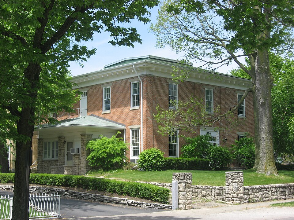
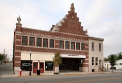
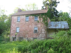
Built in 1860 in the Italianate architecture. Listed on the National Register of Historic Places in
1979. A historic map-sheet match is not published yet. The record needs a coordinate-quality review before it can be joined to a sheet boundary.
From the record
“The William Lawrence House is a historic house in Bellefontaine, Ohio, United States. Located along Main Street north of the city's downtown, it is historically significant as the home of William Lawrence, a prominent U.S.”
Wikipedia article William Lawrence House (Bellefontaine, Ohio), CC BY-SA 4.0.
one of 6 National Register listings in Logan County · listed in 1979 · category: Building · built in 1860, Italianate architecture.
National Register reference number.79001884- the number the National Park Service assigned this property when it was listed, and the key its nomination file is catalogued under at the National Archives.
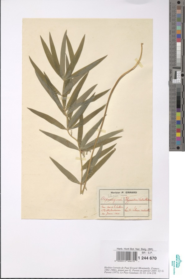
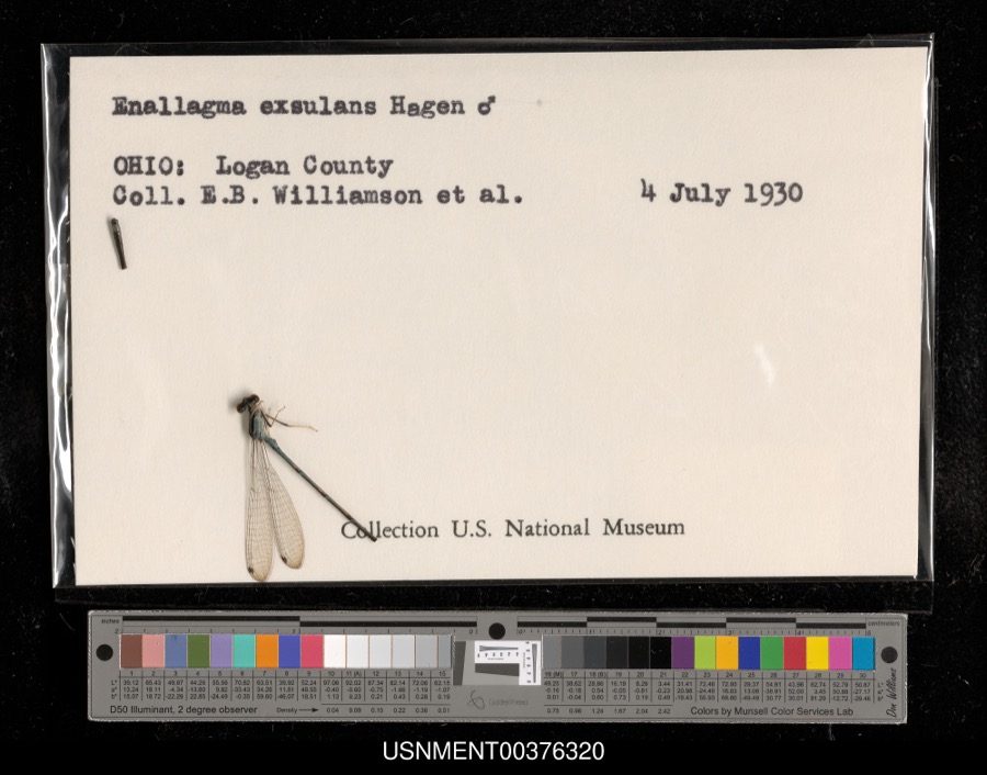
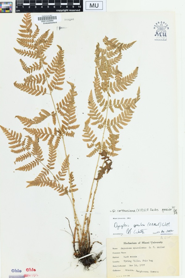
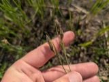
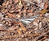
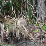
Specimens collected near this property
12 of 941 shown
Regional context, not property-specific
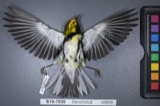
evidence. Museums hold 941 specimens
collected within 10 miles of Lawrence, William, House between 1862 and
1975: 891 Animalia, 27 Fungi, 20 Plantae, 2 Protozoa, 1 Unrecorded. 12 distinct Species records are shown.
Collected by A Schwartz, A. D. Selby, A. R. Gaufin and others. Each is a
physical object with a catalogue
number, and each entry opens the museum's record. This is what was
collected and kept, not a survey of what lives here - nothing can be
concluded from a species being absent.
Regional context, not property-specific
evidence. The federal mineral resources record lists
5 workings within 5 miles of Lawrence, William, House: 3 past producers, 2 producers.
2 still produce. What was taken out: Sand and Gravel, Construction. Distance is straight-line from the
map coordinates, so a quarry counted here may appear on a neighbouring
settlement's page as well.
Regional context, not property-specific
evidence. The National Weather Service names
Bellefontaine, the town this property stands in, in 73 storm reports between 1994 and 2024: 34 thunderstorm wind, 14 hail, 12 flood, 9 flash flood.
The reports record 1 injury. Each account below is quoted exactly as the forecast office
filed it, from the NOAA Storm Events Database, and each date
opens the federal record of that event.
Numerous trees and large branches were downed across the area due to damaging thunderstorm winds. Some of the branches were blocking the Route 33 and 68 exit ramp. Roof damage also occurred to several buildings in the area.
Numerous trees were reported down due to damaging thunderstorm winds. Several barns were also damaged or destroyed along with some minor damage to a few homes.
Flooding is a continuation from earlier flash flooding in the area. Several roads were impassible and evacuations occurred in a trailer park due to the precipitation. Flooding began around 0645 EST on February 28th and continued until around 0900 EST on March 2nd. Damage estimates during March were around twenty-five thousand dollars.
Flooding is a continuation from earlier flash flooding in the area on February 28th. Several roads were impassible and evacuations occurred in a trailer park due to the precipitation. Flooding began around 0645 EST on February 28th and continued until around 0900 EST on March 2nd. Damage estimates during February were around twenty-five thousand dollars.
1 paper published in this town,
digitised by the Library of Congress and free to read: 0 issues,
0 pages. Every page is searchable, so a name or a street can be
looked for directly in what the town printed about itself at the time.
No historic map-sheet match is published
for this property yet. That does not mean no map exists. This record needs
a coordinate-quality review before it can be joined to a sheet boundary.
Browse the county's mapped places while that work is
pending.
From the nomination file
2,374 words on record
When this property was proposed for the
National Register, someone wrote the case for it: what the building is,
and why it matters. That document is a federal record in the public domain.
It is quoted below word for word, never summarised. The text was read off the scanned case file by machine, so the
occasional stray character is the recogniser's and the 1970s
typewriter's.
Description of the property
treatment is common bond brick, and the building sits on a stone foundation. Purlins are original stone lintel, and what appears to be an enclosed transom in the c. 1900 photograph is at least replaced by a board that is the same size as shown on the photograph if it is end of the north side. by 1861 when that date and the initials of one of the Lawrence family were carved on a window sill on the north side. transom used to minimize the conversion, and the removal of the balustrade forming a widow's walk on the roof in the c. 1900 photograph. on the west side of the main building, keeping some of the features of the main building with building, there was a fire in the formal dining room and kitchen area of the house in the rear converted the addition to offices.
The only other exterior feature is an enclosed porch on the south side; this has a rubble stone wall with rubble stone pillars supporting the hipped roof, which overhangs on the south side. Double-hung 1/1 windows between the stone pillars enclose the porch with a door on the south side. A second-floor window has been converted to a door to give access to the roof with a fire escape from the roof down to the ground.
The date of this porch is staircase, which rises from the first floor to the skylight, a height of 2½ stories, including same room have been refurbished, with the original brass hardware still intact; these are ten-foot-high windowshas been restored, and the cast iron fireplace with its eight-foot-high mirror, part of the original construction, are still intact and in excellent condition. The CONDITION floor northeast room; this piece appears to have been hand tooled.
Bellefontaine and, most important, as the home of William Lawrence, one of the community's most important figures. His importance as a lawyer, public official, and early officer of The property for this house was acquired by deed from P.S. Powell to William 1819) in Mount Pleasant, Ohio. He attended Franklin College in Harrison County and the Cincinnati Law School, receiving his L.L.B. degree from the Cincinnati Law School. He had established his law practice in Bellefontaine by 1841. sentatives and in the Ohio Senate before being elected a Common Pleas Judge in 1857. His He held this position until 1864.
During that time, he was also a lieutenant colonel in an noted publications related to his Congressional experience during the impeachment of Andrew introduced a bill to make the office of the Attorney General into an executive department. owned by the family near Belle Center in 1974, and much property along what is now Lawrence 1700-1799 organization.
THEATER 1900- ARCHITECTURE SIGNIFICANCE ART BUILDER/ARCHITECT ARCHEOLOGY-HISTORIC PREHISTORIC ENGINEERING unknown PERIOD AGRICULTURE XPOLITICS/GOVERNMENT EXPLORATION/SETTLEMENT group's constitution, served as an incorporator, and was the first vice-president of the LITERATURE _COMMERCE _SOCIAL/HUMANITARIAN -1500-1599 _COMMUNICATIONS persuaded President James Garfield to endorse the Red Cross, and the judge then drafted the - TRANSPORTATION This house is important as an example of mid-nineteenth century architecture in _PHILOSOPHY William Lawrence was also instrumental in the organization of the American Red Cross.
Ohio infantry division serving in Maryland during the Civil War and president of the Court Martial.In 1864,Lawrence was first elected to the United States Congress; he served four which now hangs in the United States Capitol. the American Red Cross is explained below. Comptroller was later used by the Japanese in setting up their treasury department.
Quoted from the National Register nomination
for reference 79001884, 16 pages, held by the National Archives in Record
Group 79. See the
catalogue record.
Listed places nearby
4 within 8 miles
Other National Register properties close
enough to walk or drive between, ordered by distance from this one. Both
positions come from the same geocoding pass that matched these properties
to their map sheets.
Listing record. National Park Service National Register of Historic Places, listed-properties dataset, current to 2026-05-22.
Map join. Address geocoded through the United States Census geocoder, then tested against the published boundary of every sheet in the USGS Historical Topographic Map Collection.
How this page is made. Listing fields come from federal records; map-sheet coverage is a labelled coordinate-to-boundary calculation, not a source-field claim.
Specimens. Global Biodiversity Information Facility (GBIF), https://www.gbif.org/. Only records licensed CC0 or CC BY are used. Records licensed CC BY-NC are excluded because this site carries advertising. Images are checked individually and any whose licence is non-commercial, no-derivatives or unreadable is refused.
Mines and quarries. USGS Mineral Resources Data System (MRDS) https://mrdata.usgs.gov/mrds/ A work of the United States government, no copyright under 17 U.S.C. 105.
Storms. NOAA National Centers for Environmental Information, Storm Events Database https://www.ncei.noaa.gov/stormevents/ A work of the United States government, no copyright under 17 U.S.C. 105. Narratives are quoted verbatim from the National Weather Service report and are not edited or summarised.
 Block
Block