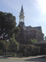
National Register reference number.79001888- the number the National Park Service assigned this property when it was listed, and the key its nomination file is catalogued under at the National Archives.
Then and now
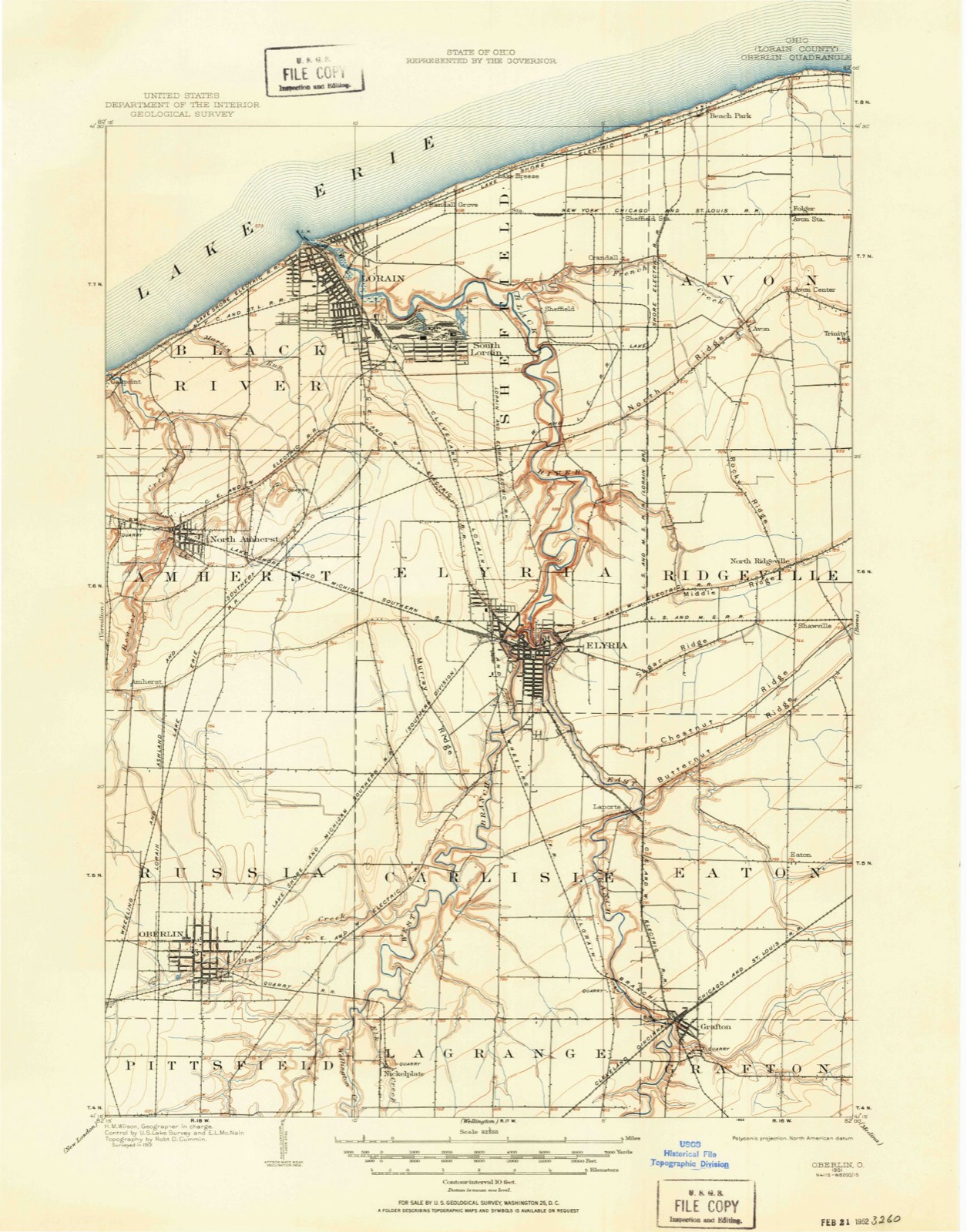
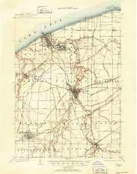
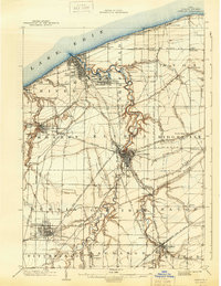
1901 to 1956
The ground this property stands on, surveyed
55 years apart. Drag the handle to wipe between them. Both sheets are
United States Geological Survey originals; neither has been altered.
19011956
The ground it stands on
77,639 words
The chapter on Oberlin City in History of Lorain County, Ohio, published 1879 names Oberlin. This is what it says, exactly as the scans read.
The following sketch of Oberlin history is mainly a compilation, but it may be regarded as reliable, anil is as complete as the scope of this work ^vill admit. The facts and documents pertaining to the early history, I have taken chiefly from the " History of Oberlin," in manuscript, by President Fairchild ; of which, availing myself of the generous offer of the author, I have made free use. Other facts and statistics have been taken from the college catalogues, from articles in the Oberlin Evcmtjelisi and in the Oberlin Revieir, and from other sources, for my indebtedness to which, this general acknowledgment must suffice. For the estimates of Oberlin, and of a few of its leading men, the writer is alone responsible. H. M.
The history of Oberlin m;iy be said to be the history of an idea, first, as conceived in the minds of individuals and matured into a plan, which may be called its origin; then as converted by them into fact, and made an outward reality, which constitutes its begitining; next, as receiving a sudden increase of mental and moral force, which gave it enlargement, and was its second beginning, from which it should proceed as from a new point of departure; and finally, as its natural and gradual development, in which is found, amid strivings and conflicts, its growth to maturity. In this fact, that Oberlin is built on and represents a progressive idea, or a fundamental principle, is found its distinctive and representative character; and this is the true explanation of the enthusiasm it awakened, the oi)position it excited, the success it has achieved, and the work it has wrought.
Regional context, not property-specific
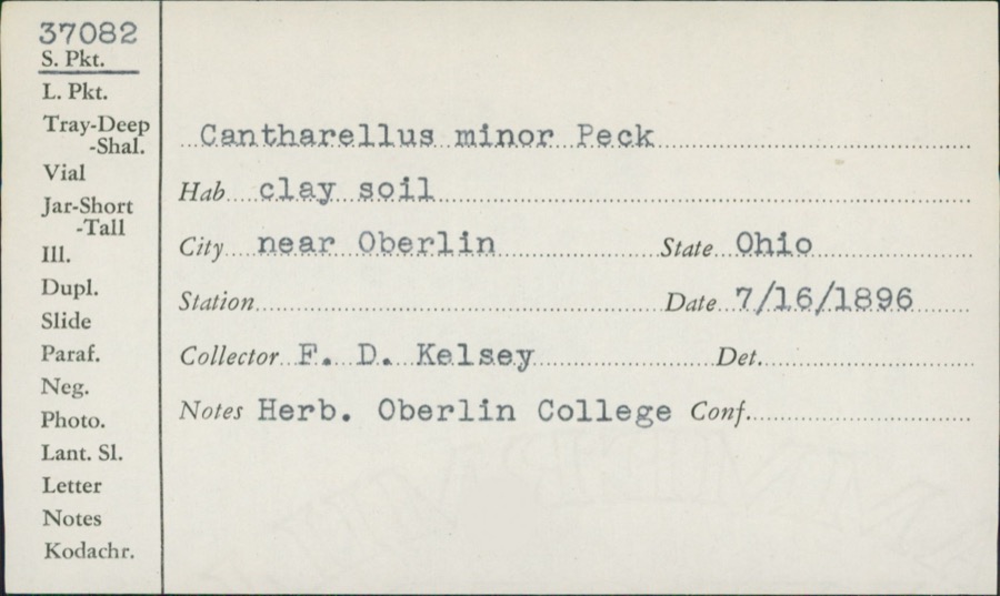
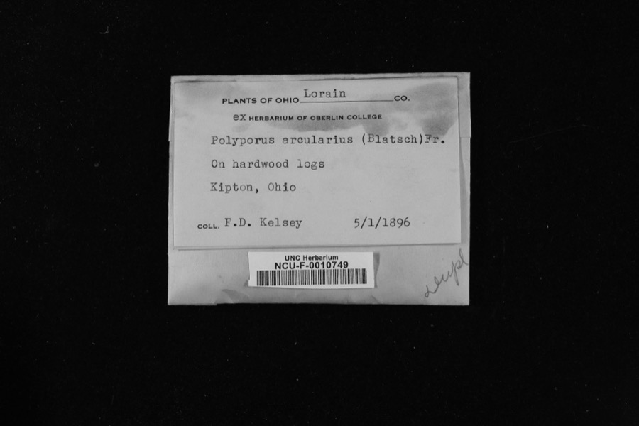
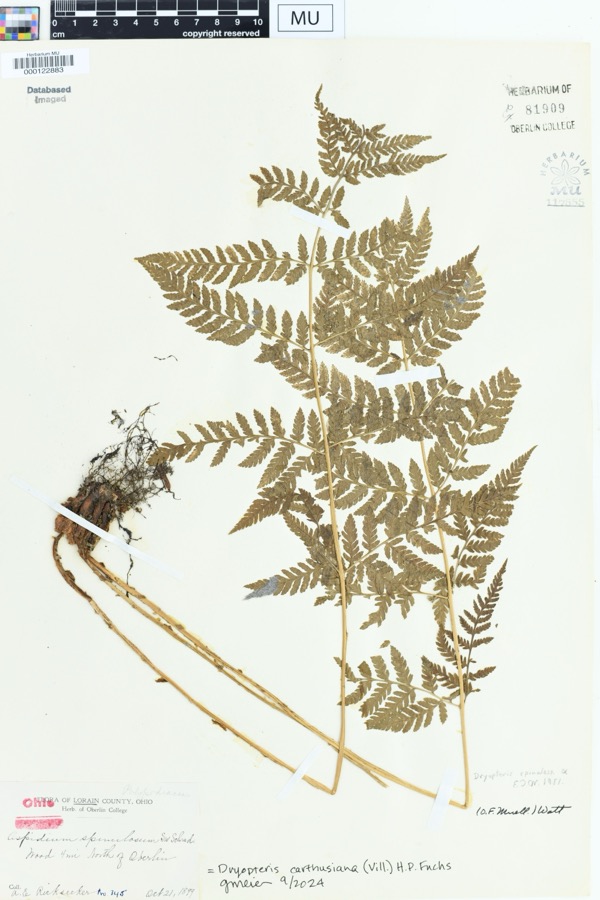
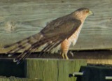
evidence. Museums hold 1,819 specimens
collected within 10 miles of Oberlin Lake Shore And Michigan Southern Station between 1852 and 1975: 951 Animalia, 611 Fungi, 221 Plantae, 15 Protozoa, 13 Chromista, 8 Unrecorded.
12 distinct Species records are shown.
Collected by A. E. Recksecker, A. E. Ricksecker, A. M. Evans and others. Each is a
physical object with a catalogue
number, and each entry opens the museum's record. This is what was
collected and kept, not a survey of what lives here - nothing can be
concluded from a species being absent.
Regional context, not property-specific
evidence. The National Weather Service names
Oberlin, the town this property stands in, in 28 storm reports between 1997 and 2024: 17 thunderstorm wind, 7 hail, 4 flash flood.
No death or injury is recorded in these reports. Each account below is quoted exactly as the forecast office
filed it, from the NOAA Storm Events Database, and each date
opens the federal record of that event.
Flash flooding reported in Oberlin and Pittsfield Township due to heavy rainfall. Several reports of flooded basements. OH-303 closed between Pitts Road and Quarry Road due to flash flooding. Radar estimated 2.5 to 3.5 inches of rainfall in a three hour period.
Thunderstorm winds downed many trees and large limbs across the county. The Oberlin, Kipton and Elyria areas were especially hard hit. A barn was blown down in Eaton Township. A car was crushed by a tree in Elyria. A peak wind gust of 54 mph was measured at the Lorain County Airport near Elyria.
Six to eight inches of flowing water was reported across US-20 near the OH-511 interchange east of Oberlin. Radar estimated around 2 inches of rainfall in one hour at this location.
Strong thunderstorms with rain, wind, and hail moved over portions of Lorain County. Rainfall rates approaching two inches per hour were reported with this storm. Flooding occurred in Oberlin with several roads impassable with water up to the hoods on cars.
Heavy thunderstorm rains caused widespread street flooding in Oberlin. Water on some roads was over two feet in depth forcing several motorists to abandon their vehicles.
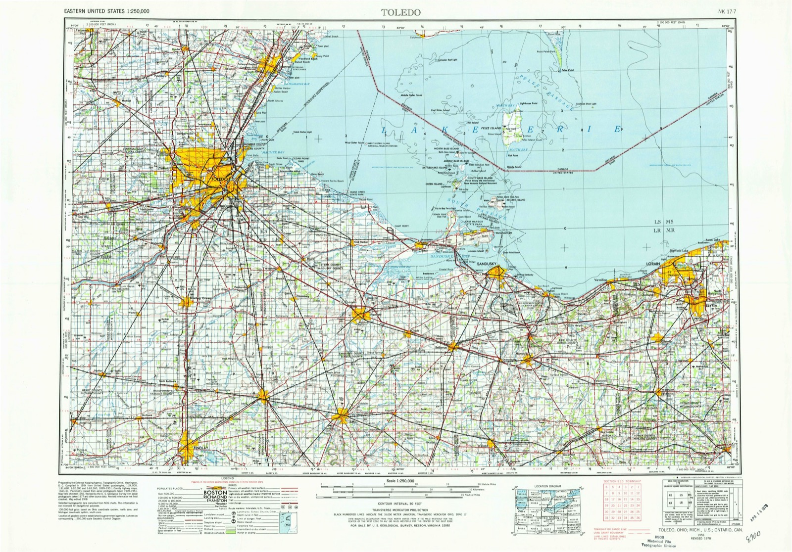
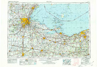
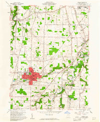
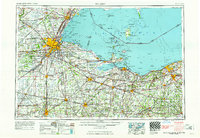
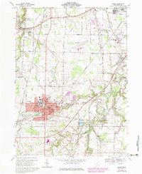
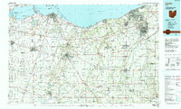
United States Geological Survey topographic
sheets whose coverage includes this point. Matched by taking the coordinate the National Park Service records for this property, then
testing that coordinate against the published boundary of every sheet.
When this property was proposed for the
National Register, someone wrote the case for it: what the building is,
and why it matters. That document is a federal record in the public domain.
It is quoted below word for word, never summarised. The text was read off the scanned case file by machine, so the
occasional stray character is the recogniser's and the 1970s
typewriter's.
Description of the property
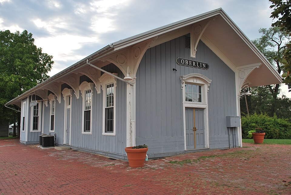
by three city streets and the old railroad right of way. It is located in a predominantly residential purposes - The railroad depot is a one story rectangular structure, capped by a gable roof of medium pitch, but with broad eaves on all sides that overhang the outside wallsby about five feet. This roof is supported very closely. CONDITION UNEXPOSED Oberlin's old rai lroad depot is located in a small park next to the old railroad line which passed area, with houses facing onto the park, although commercial development exists in places along South EXCELLENT FAIR siding was placed along the west wall to replace deteriorated wood, and matches the original siding by a series of large, elaborately carved brackets that extend around on all four sides of the building.
ground equipment is located northwest of the depot. Directly west of the depot is a new storage building, Main Street on the eastern edge of the Shade trees and shrubbery ornament the grounds. Play- this building was transformed into use as a head start center, the exterior was completely restored. New The exterior walls of this wood frame structure are faced with vertical board and batten siding. Window east to west through the southern part of the town. The park is three or four acres in size and is bounded moldings with side brackets, a characteristic feature of Italianate buildings. The window sash are six XALTERED about ten feet square, that is designed to look similar to the old depot. East of the depot is a wooden red caboose.
Dating from the early twentieth century; this caboose was moved to this site for museum titions have been erected and new lighting installed along with suspended ceilings. Much of the original character of the building is still visible, however.
This train depot is a fine example of mid nineteenth century railroad architecture. It blends features of the early Gothic revival, which was often used in the first train stations in this region, with function asa passenger depot, this building enjoys a significant new use that preserves the structure is unchanged from its original appearance and interior changes are reversible. The first railroad line in Lorain County went through Wellington in 1849. Three years later, a Oberlin and Elyria, Lorain County's two largest communities at the time, was reduced from two hours through Oberlin, nicknamed the Plug, made its final run in 1949.
In 1976, when Conrail took control 1600-1699 1867 1700-1799 1500-1599 ENGINEERING ART CONSERVATION 1900- ARCHEOLOGY-HISTORIC RELIGION X1800-1899 PHILOSOPHY ARCHEOLOGY-PREHISTORIC PERIOD AGRICULTURE THEATER BUILDER/ARCHITECT LAW XTRANSPORTATION SCIENCE SIGNIFICANCE SCULPTURE Unknown XARCHITECTURE INVENTION LITERATURE MILITARY EXPLORATION/SETTLEMENT EDUCATION INDUSTRY _POLITICS/GOVERNMENT _COMMERCE of this railroad, all service was discontinued and the fracks were subsequently removed. This building _COMMUNICATIONS to twenty minutes.Thus, the opening of the depot signaled a new era in transportation for Oberlin. shade trees and a curving carriage drive.A half dozen trains a day connected Oberlin with points while serving the community.
While alterations have been made in its recent conversion, the exterior spur was constructed which connected Grafton to Norwalk, passing through Oberlin. About ten years The depot originally housed telegraph, ticket and baggage offices. There were also separate after the Civil War, when passenger service was inaugurated on this new line.Travel time between served examples of its style of train stations in Lorain County.While it has long since ceased to is one of the last remaining vestiges of the railroad in Oberlin. east and west.
Quoted from the National Register nomination
for reference 79001888, 10 pages, held by the National Archives in Record
Group 79. See the
catalogue record.
Listed places nearby
6 within 8 miles
Other National Register properties close
enough to walk or drive between, ordered by distance from this one. Both
positions come from the same geocoding pass that matched these properties
to their map sheets.
Listing record. National Park Service National Register of Historic Places, listed-properties dataset, current to 2026-05-22.
Map join. Address geocoded through the United States Census geocoder, then tested against the published boundary of every sheet in the USGS Historical Topographic Map Collection.
How this page is made. Listing fields come from federal records; map-sheet coverage is a labelled coordinate-to-boundary calculation, not a source-field claim.
Specimens. Global Biodiversity Information Facility (GBIF), https://www.gbif.org/. Only records licensed CC0 or CC BY are used. Records licensed CC BY-NC are excluded because this site carries advertising. Images are checked individually and any whose licence is non-commercial, no-derivatives or unreadable is refused.
Storms. NOAA National Centers for Environmental Information, Storm Events Database https://www.ncei.noaa.gov/stormevents/ A work of the United States government, no copyright under 17 U.S.C. 105. Narratives are quoted verbatim from the National Weather Service report and are not edited or summarised.
 Block