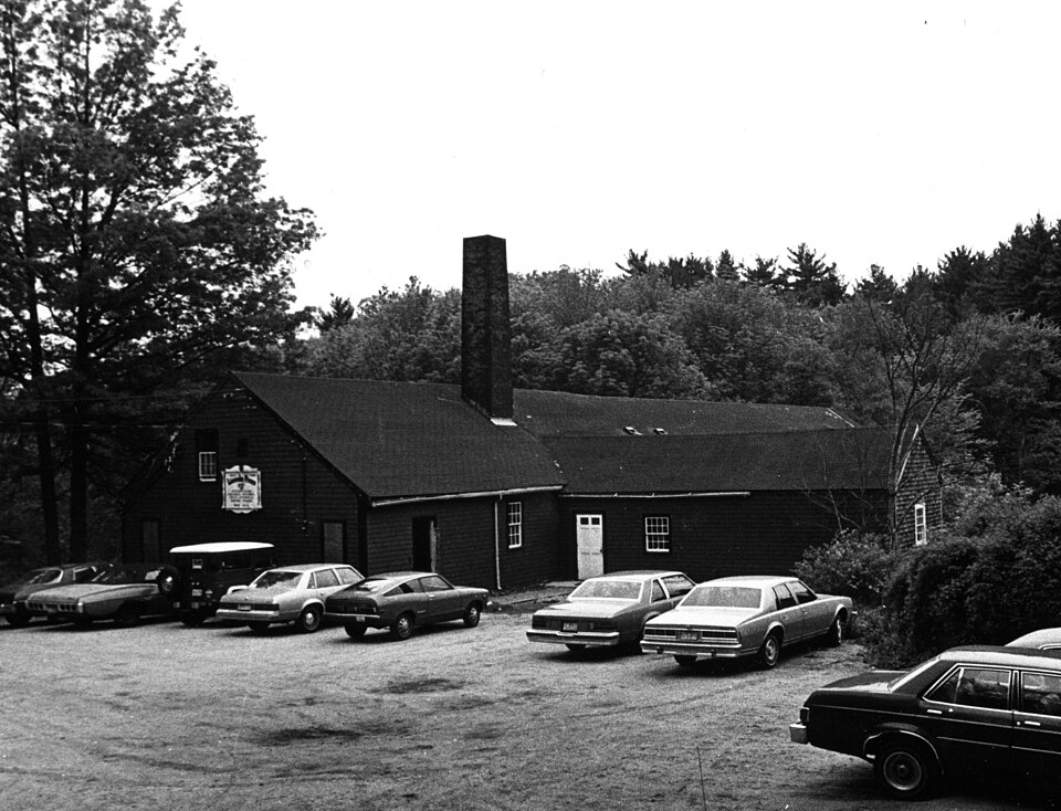
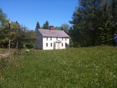
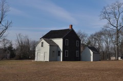
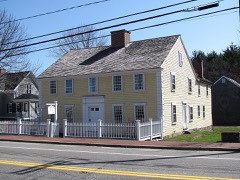
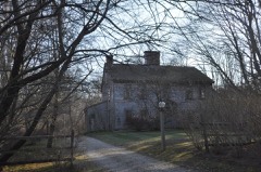
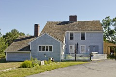
Photograph by Unknown, probably Jonathan Bond, Public domain. Via
Wikimedia Commons.
Tack Factory, The
Listed on the National Register of Historic Places in
1980. A historic map-sheet match is not published yet. The record needs a coordinate-quality review before it can be joined to a sheet boundary.
From the record
“The Tack Factory was a historic industrial facility at 49 Tiffany Road in Norwell, Massachusetts, United States. With its oldest portion dating to 1834, it was the last surviving 19th-century mill building in Norwell prior to its destruction by fire in 1983.”
Wikipedia article The Tack Factory, CC BY-SA 4.0.
one of 93 National Register listings in Plymouth County · listed in 1980 · category: Building · one of 1 National Historic Landmarks in Plymouth County.
National Register reference number.80000472- the number the National Park Service assigned this property when it was listed, and the key its nomination file is catalogued under at the National Archives.
Fires near this property
215 since 2015
Regional context, not property-specific
evidence. The
federal wildfire occurrence database
lists 215 fires within 5 miles of Tack Factory, The between
2015 and 2020, burning about 64 acres in total. 1 started naturally. 3 were recorded as arson.
Distance is straight-line from the map coordinates, so a fire counted
here may appear on a neighbouring settlement's page as well.
Reported cause
Fires
Debris and open burning
126
Missing data/not specified/undetermined
63
Misuse of fire by a minor
19
Smoking
3
Arson/incendiarism
3
Natural
1
The most recent of
them, most recent first, with the day each was reported and the service
that recorded it.
Regional context, not property-specific
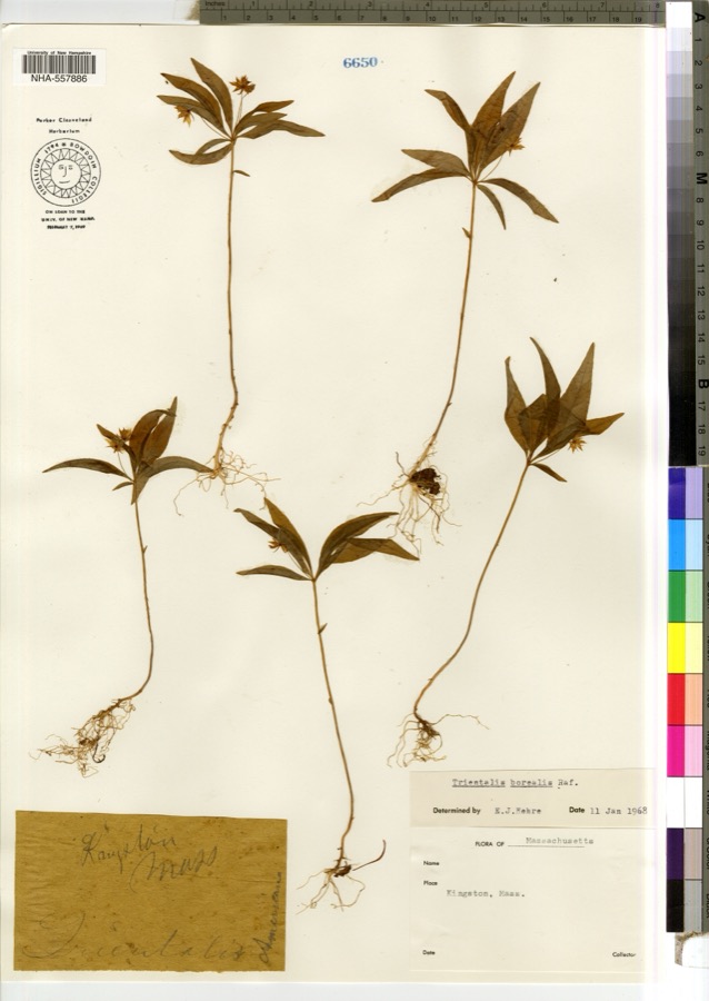
evidence. Museums hold 1,202 specimens
collected within 10 miles of Tack Factory, The between 1836 and
1975: 466 Plantae, 439 Animalia, 139 Fungi, 104 Unrecorded, 37 Chromista, 11 Protozoa, 6 Bacteria. 12 distinct Species records are shown.
Collected by -- Russell, A Loveridge, A. and others. Each is a
physical object with a catalogue
number, and each entry opens the museum's record. This is what was
collected and kept, not a survey of what lives here - nothing can be
concluded from a species being absent.
Regional context, not property-specific
evidence. The federal mineral resources record lists
2 workings within 5 miles of Tack Factory, The: 1 past producer, 1 producer.
1 still produces. What was taken out: Sand and Gravel, Construction. Distance is straight-line from the
map coordinates, so a quarry counted here may appear on a neighbouring
settlement's page as well.
Regional context, not property-specific
evidence. The National Weather Service names
Norwell, the town this property stands in, in 4 storm reports between 1997 and 2015: 2 hail, 1 thunderstorm wind, 1 lightning.
No death or injury is recorded in these reports. Each account below is quoted exactly as the forecast office
filed it, from the NOAA Storm Events Database, and each date
opens the federal record of that event.
No historic map-sheet match is published
for this property yet. That does not mean no map exists. This record needs
a coordinate-quality review before it can be joined to a sheet boundary.
Browse the county's mapped places while that work is
pending.
From the nomination file
1,600 words on record
When this property was proposed for the
National Register, someone wrote the case for it: what the building is,
and why it matters. That document is a federal record in the public domain.
It is quoted below word for word, never summarised. The text was read off the scanned case file by machine, so the
occasional stray character is the recogniser's and the 1970s
typewriter's.
Description of the property
The Salmond Tack Factory in Norwell, Massachusetts is located at the lower end of a mill pond created when a dam was built across Third Herring Brook in the late 18th century. The original part of the Salmond Tack Factory is a low one story plus attic frame structure with a very broad, rather high pitched roof. Of post and beam construction, the building has heavy hand-hewn timbers. The exterior walls are covered with many layers of wood shingles over rough board sheathing. A brick chimney, approximately 30 feet in height, rises from the north slope of the roof. It is thought to have vented the fire used by the tack factory to heat metal. Foundations are of granite and native stone with some brick infill added over the years.
A granite sluiceway, still inthia aedo operational, runs from the mill pond north to south beneath the approximate center of the original factory building and empties downstream into Third Herring Brook. The tack factory's water wheel and related equipment, once used to run the belt-driven tack machinery, are also still in place beneath the mill, though they have long been out of use. Later additions to the original ca. 1834 mill building are an ell (ca. 1900) and shed (1970) on the north side and a shed (ca. 1900) now used for shipping and receiving on the south side. They areframe construction with shingles over plywood sheathing. The present dam across Third Harring Brook is a reinforced concrete structure with multiple spillways across which are long-unused gates.
A concrete retaining wall starting at the dam extends around the north side of the property and is reinforced at the sluiceway entrance. Dam and retaining wall are thought to have been constructed in the early 20th century.
Statement of significance
/Architect n/a Statement of Significance (in one paragraph) The Salmond Tack Factory, built ca. 1834 on a late 18th century mill site, remained in continuous operation for well over 100 years under the direction of several generations of the Salmond family. In this respect it is unique in the history of Norwell: Today the tack tactory bullding, with its intact granite sluiceway, is the last remaining example in Norwell of a water powered mill. Still in place beneath the building, and possibly reclaimable, are the water wheel and related machinery once used to power the tack-making operations above. A grist mill, said to have been built by local entrepreneur, Charles Stockbridge, first He was succeeded by Recompense Tiffany whogave his name both to the pond and to nearby Tiffany Road.
In about 1834 Captain Zephaniah Talbot and Captain Samuel Salmond acquired the water rights and, having constructed the main part of the present structure, established a tack works there. Several generations of the Salmond family continued to operated the tack factory, under the name of Samue1 Salmond & Sons, well into the mid 20th century. Today a printing company operates in and owns the building. 0821 9.
Quoted from the National Register nomination
for reference 80000472, 14 pages, held by the National Archives in Record
Group 79. See the
catalogue record.
Listed places nearby
6 within 8 miles
Other National Register properties close
enough to walk or drive between, ordered by distance from this one. Both
positions come from the same geocoding pass that matched these properties
to their map sheets.
Listing record. National Park Service National Register of Historic Places, listed-properties dataset, current to 2026-05-22.
Map join. Address geocoded through the United States Census geocoder, then tested against the published boundary of every sheet in the USGS Historical Topographic Map Collection.
How this page is made. Listing fields come from federal records; map-sheet coverage is a labelled coordinate-to-boundary calculation, not a source-field claim.
Wildfire. Short, Karen C. 2022. Spatial wildfire occurrence data for the United States, 1992-2020 [FPA_FOD_20221014]. 6th Edition. Fort Collins, CO: Forest Service Research Data Archive. https://doi.org/10.2737/RDS-2013-0009.6 Collected with United States Government funding and usable without additional permissions or fees.
Specimens. Global Biodiversity Information Facility (GBIF), https://www.gbif.org/. Only records licensed CC0 or CC BY are used. Records licensed CC BY-NC are excluded because this site carries advertising. Images are checked individually and any whose licence is non-commercial, no-derivatives or unreadable is refused.
Mines and quarries. USGS Mineral Resources Data System (MRDS) https://mrdata.usgs.gov/mrds/ A work of the United States government, no copyright under 17 U.S.C. 105.
Storms. NOAA National Centers for Environmental Information, Storm Events Database https://www.ncei.noaa.gov/stormevents/ A work of the United States government, no copyright under 17 U.S.C. 105. Narratives are quoted verbatim from the National Weather Service report and are not edited or summarised.
 Block
Block