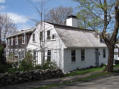
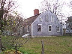
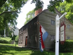
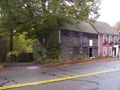
Built in 1695 in the colonial architecture. Listed on the National Register of Historic Places in
1980. A historic map-sheet match is not published yet. The record needs a coordinate-quality review before it can be joined to a sheet boundary.
From the record
“The Clifford-Warren House is an historic First Period house at 3 Clifford Road in Plymouth, Massachusetts. The gambrel-roofed Cape style house was built c. 1695.”
Wikipedia article Clifford-Warren House, CC BY-SA 4.0.
one of 93 National Register listings in Plymouth County · listed in 1980 · category: Building · built in 1695, colonial architecture · one of 1 National Historic Landmarks in Plymouth County.
National Register reference number.80000666- the number the National Park Service assigned this property when it was listed, and the key its nomination file is catalogued under at the National Archives.
In preparing the work the records of the town of Bridgewater, and of its several parishes and churches, have been the first and principal sources, whence the materials have been derived. The old Colony and Plymouth county records have furnished also valuable information. Judge Davis' improved edition of Morton's, New England Memorial, Farmer's Register, the Collections of the Mass. Hist. Society, and various local histories have also been advantageously consulted. But so many and so various have been the sources, both public and private, from which information and facts have been obtained, that it would be difficult, if recollected, to enumerate them. The loss of all the early records of Duxbury previous to 1G54, which are said to have been burnt, is greatly to be regretted, as it was the parent town of Bridgewater, the first home and residence in this country of most of our fathers and original settlers in this then Plantation. It may well be supposed those records would have furnished us with much valuable information. The Colony records of births and deaths previous to 1CI7 are also lost, some of the first leaves by time or accident having been destroyed, which to the antiquarian is a deprivation much to be deplored.
Bridgewater was originally a plantation granted to Duxbury. When the township of Marshfield became a separate and distinct corporation, Duxbury, from which Marshfield had been principally taken, applied to the Old Colony court, at Plymouth, for a grant of common land, or, as they expressed it, " an extension to the westward," as a compensation for the great loss of territory they had thus sustained. We find in the records the following order of court relating to it : -
Regional context, not property-specific
evidence. The
federal wildfire occurrence database
lists 253 fires within 5 miles of Clifford-Warren House between
2006 and 2020, burning about 85 acres in total. 1 started naturally. 17 were recorded as arson.
Distance is straight-line from the map coordinates, so a fire counted
here may appear on a neighbouring settlement's page as well.
Reported cause
Fires
Debris and open burning
155
Missing data/not specified/undetermined
52
Misuse of fire by a minor
22
Arson/incendiarism
17
Recreation and ceremony
3
Smoking
2
Natural
1
Equipment and vehicle use
1
The most recent of
them, most recent first, with the day each was reported and the service
that recorded it.
Regional context, not property-specific
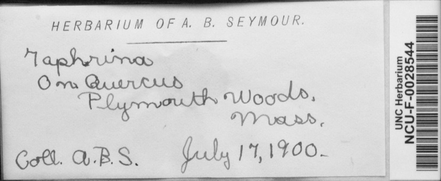
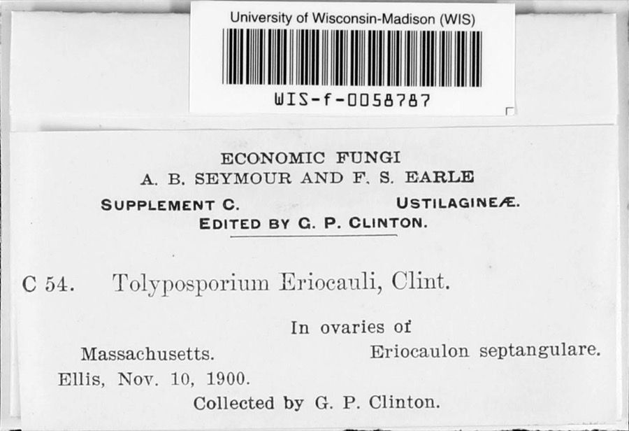
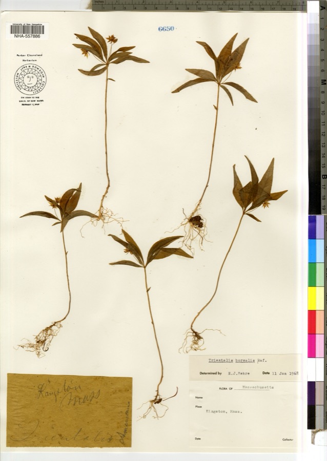
evidence. Museums hold 3,387 specimens
collected within 10 miles of Clifford-Warren House between 1816 and
1975: 2,758 Animalia, 365 Plantae, 171 Fungi, 78 Chromista, 10 Protozoa, 5 Unrecorded. 12 distinct Species records are shown.
Collected by -- Russell, A., A. Humes and others. Each is a
physical object with a catalogue
number, and each entry opens the museum's record. This is what was
collected and kept, not a survey of what lives here - nothing can be
concluded from a species being absent.
Regional context, not property-specific
evidence. The federal mineral resources record lists
2 workings within 5 miles of Clifford-Warren House: 1 past producer, 1 producer.
1 still produces. What was taken out: Sand and Gravel, Construction. Distance is straight-line from the
map coordinates, so a quarry counted here may appear on a neighbouring
settlement's page as well.
Regional context, not property-specific
evidence. The National Weather Service names
Plymouth, the town this property stands in, in 43 storm reports between 1997 and 2023: 13 hail, 10 thunderstorm wind, 7 heavy rain, 4 flood.
The reports record 1 death. Each account below is quoted exactly as the forecast office
filed it, from the NOAA Storm Events Database, and each date
opens the federal record of that event.
Police reported a road flooded, with water half-way up the doors of a car. Street unspecified. Report relayed by amateur radio. The public reported 2.07 of rain with this localized storm.
No historic map-sheet match is published
for this property yet. That does not mean no map exists. This record needs
a coordinate-quality review before it can be joined to a sheet boundary.
Browse the county's mapped places while that work is
pending.
From the nomination file
1,386 words on record
When this property was proposed for the
National Register, someone wrote the case for it: what the building is,
and why it matters. That document is a federal record in the public domain.
It is quoted below word for word, never summarised. The text was read off the scanned case file by machine, so the
occasional stray character is the recogniser's and the 1970s
typewriter's.
Description of the property
The Warren House, which taces southwest on its lot toward Eel River Pond, is located 1n a residential area south oi Plymouth Center. It is sited on 1.39 acres studded with large white ash and horse chestnut trees which give way to an orchard as the land slopes toward the pond. There are also landscaped terraces and flower and herb gardens. The house is a one and one half story wood framestructure which rests on a fieldstone foundation and is enclosed by a low pitched gambrel roof. A large central chimney rises slightly in front of the ridge. The clapboarded facade is framed with wide corner boards and a simple overhanging cornice. The center entraice is flanked by two windows on each side and is approached by three concrete steps with no rail.
The present treatment, with narrow full length side lights and plain architrave appears to date from an early-mid nineteenth century remodeling. Windows contain cut into the foundation below the two western windows, and shed roof dormers with ae sas o dl are raned vitin sie o vestr vindons An entrace to the cellar has been paired casement windows have been added above both pairs. The side elevations which are shingled contain two windows at each story. A one story ell attached to the north- west corner of the house contains a late nineteenth century kitchen and a 1957 living- room which replaced an early shed. The effect of this change was minimized by preserv- ing the proportion and materials of the shed.
Statement of significance
/ARCHITECT 1695/ STATEMENT OF SIGNIFICANCE The Warren House possesses integrity of location, design, setting, materials, and workmanship and is a good example of early wood frame construction. Located south of the town center in a rural residential area, it is representative of Plymouth's early agricultural character. Further, it 1s believed that more information about the history of the house may be gained through archeological investigation; this potential 1s neightened by the tact that a hearthstone and tormer toundation have already been located. The parcel on which this house now stands, was part of a four hundred acre tract granted to Richard Warren in 1627. Warren was one of the first settlers of the Plymouth Colony and was also one of the signers of the Mayflower Compact.
The original grant, which ran from Warren Cove west to the present Route 3, has now been reduced to 1.39 acres. It is believed that the present house, constructed c.1695, was preceded by two smaller dwellings; this may be confirmed by archeologi- cal research. One of the most important occupants of the house was James Warren who was born in 1726. He was a representative to the General Court from Plymouth, a member of the Committees of Correspondence, President of the Provincial Congress, a Speaker of the Massachusetts House and a Paymaster in the Continental Army. He was also a signa- tory of the Declaration of Independence and of the Massachusetts Constitution and was a member of the Academy of Arts and Sciences.
In 1754 he married Mercy Otis of Barnstable, a woman active in governmental and revolutionary affairs.
Quoted from the National Register nomination
for reference 80000666, 10 pages, held by the National Archives in Record
Group 79. See the
catalogue record.
Listed places nearby
6 within 8 miles
Other National Register properties close
enough to walk or drive between, ordered by distance from this one. Both
positions come from the same geocoding pass that matched these properties
to their map sheets.
Listing record. National Park Service National Register of Historic Places, listed-properties dataset, current to 2026-05-22.
Map join. Address geocoded through the United States Census geocoder, then tested against the published boundary of every sheet in the USGS Historical Topographic Map Collection.
How this page is made. Listing fields come from federal records; map-sheet coverage is a labelled coordinate-to-boundary calculation, not a source-field claim.
Wildfire. Short, Karen C. 2022. Spatial wildfire occurrence data for the United States, 1992-2020 [FPA_FOD_20221014]. 6th Edition. Fort Collins, CO: Forest Service Research Data Archive. https://doi.org/10.2737/RDS-2013-0009.6 Collected with United States Government funding and usable without additional permissions or fees.
Specimens. Global Biodiversity Information Facility (GBIF), https://www.gbif.org/. Only records licensed CC0 or CC BY are used. Records licensed CC BY-NC are excluded because this site carries advertising. Images are checked individually and any whose licence is non-commercial, no-derivatives or unreadable is refused.
Mines and quarries. USGS Mineral Resources Data System (MRDS) https://mrdata.usgs.gov/mrds/ A work of the United States government, no copyright under 17 U.S.C. 105.
Storms. NOAA National Centers for Environmental Information, Storm Events Database https://www.ncei.noaa.gov/stormevents/ A work of the United States government, no copyright under 17 U.S.C. 105. Narratives are quoted verbatim from the National Weather Service report and are not edited or summarised.
 Block
Block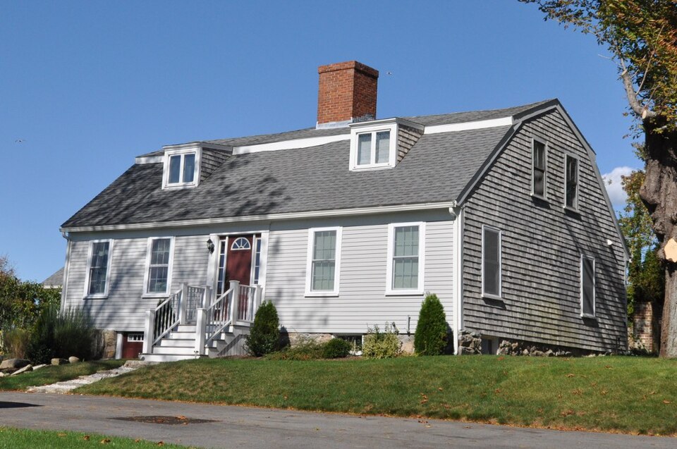





,_quintonil.jpg)