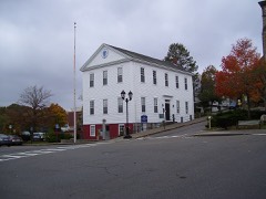
Listed on the National Register of Historic Places in
1982. A historic map-sheet match is not published yet. The record needs a coordinate-quality review before it can be joined to a sheet boundary.
From the record
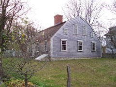
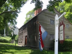
“Harlow William Family Homestead is a historic house at 8 Winter Street in Plymouth, Massachusetts. The oldest portion of this gambrel-roofed Cape house is believed to have been built by Sergeant William Harlow, before he built the nearby Old Harlow Fort House, and is believed to be one of Plymouth's oldest surviving buildings.”
Wikipedia article Sgt. William Harlow Family Homestead, CC BY-SA 4.0.
one of 93 National Register listings in Plymouth County · listed in 1982 · category: Building · one of 1 National Historic Landmarks in Plymouth County.
National Register reference number.82004434- the number the National Park Service assigned this property when it was listed, and the key its nomination file is catalogued under at the National Archives.
In preparing the work the records of the town of Bridgewater, and of its several parishes and churches, have been the first and principal sources, whence the materials have been derived. The old Colony and Plymouth county records have furnished also valuable information. Judge Davis' improved edition of Morton's, New England Memorial, Farmer's Register, the Collections of the Mass. Hist. Society, and various local histories have also been advantageously consulted. But so many and so various have been the sources, both public and private, from which information and facts have been obtained, that it would be difficult, if recollected, to enumerate them. The loss of all the early records of Duxbury previous to 1G54, which are said to have been burnt, is greatly to be regretted, as it was the parent town of Bridgewater, the first home and residence in this country of most of our fathers and original settlers in this then Plantation. It may well be supposed those records would have furnished us with much valuable information. The Colony records of births and deaths previous to 1CI7 are also lost, some of the first leaves by time or accident having been destroyed, which to the antiquarian is a deprivation much to be deplored.
Bridgewater was originally a plantation granted to Duxbury. When the township of Marshfield became a separate and distinct corporation, Duxbury, from which Marshfield had been principally taken, applied to the Old Colony court, at Plymouth, for a grant of common land, or, as they expressed it, " an extension to the westward," as a compensation for the great loss of territory they had thus sustained. We find in the records the following order of court relating to it : -
Regional context, not property-specific
evidence. The
federal wildfire occurrence database
lists 291 fires within 5 miles of Harlow, Sgt. William, Family Homestead between
2006 and 2020, burning about 93 acres in total. 3 started naturally. 5 were recorded as arson.
Distance is straight-line from the map coordinates, so a fire counted
here may appear on a neighbouring settlement's page as well.
Reported cause
Fires
Debris and open burning
194
Missing data/not specified/undetermined
54
Misuse of fire by a minor
26
Arson/incendiarism
5
Recreation and ceremony
4
Natural
3
Smoking
3
Power generation/transmission/distribution
1
Equipment and vehicle use
1
The most recent of
them, most recent first, with the day each was reported and the service
that recorded it.
Regional context, not property-specific
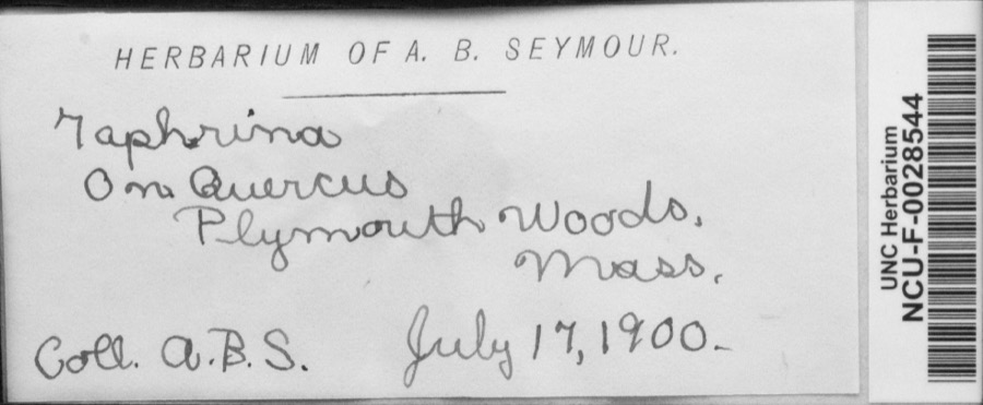
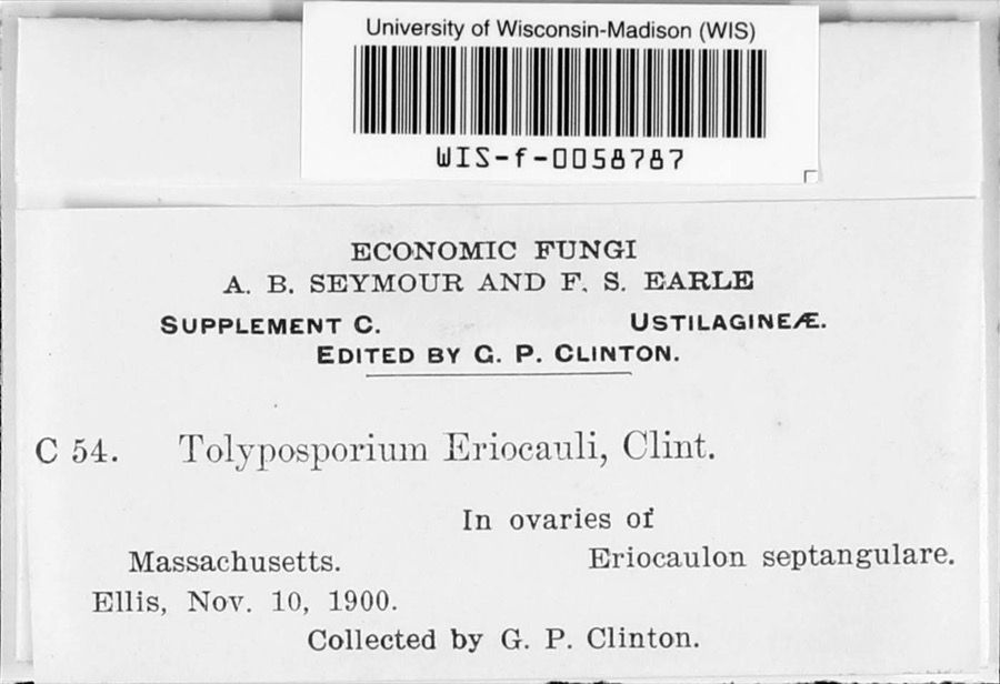
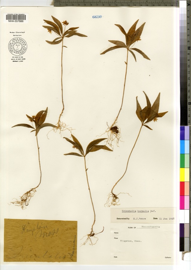
evidence. Museums hold 2,428 specimens
collected within 10 miles of Harlow, Sgt. William, Family Homestead between 1816 and
1975: 1,776 Animalia, 395 Plantae, 179 Fungi, 59 Chromista, 14 Protozoa, 5 Unrecorded. 12 distinct Species records are shown.
Collected by -- Russell, A., A. C. Mathieson and others. Each is a
physical object with a catalogue
number, and each entry opens the museum's record. This is what was
collected and kept, not a survey of what lives here - nothing can be
concluded from a species being absent.
Regional context, not property-specific
evidence. The federal mineral resources record lists
2 workings within 5 miles of Harlow, Sgt. William, Family Homestead: 1 past producer, 1 producer.
1 still produces. What was taken out: Sand and Gravel, Construction. Distance is straight-line from the
map coordinates, so a quarry counted here may appear on a neighbouring
settlement's page as well.
Regional context, not property-specific
evidence. The National Weather Service names
Plymouth, the town this property stands in, in 43 storm reports between 1997 and 2023: 13 hail, 10 thunderstorm wind, 7 heavy rain, 4 flood.
The reports record 1 death. Each account below is quoted exactly as the forecast office
filed it, from the NOAA Storm Events Database, and each date
opens the federal record of that event.
Police reported a road flooded, with water half-way up the doors of a car. Street unspecified. Report relayed by amateur radio. The public reported 2.07 of rain with this localized storm.
No historic map-sheet match is published
for this property yet. That does not mean no map exists. This record needs
a coordinate-quality review before it can be joined to a sheet boundary.
Browse the county's mapped places while that work is
pending.
Named in the fire insurance atlases
Sanborn surveyors printed an index of the
town's establishments at the front of each atlas. This property is named in
one, read straight off the scanned sheet.
When this property was proposed for the
National Register, someone wrote the case for it: what the building is,
and why it matters. That document is a federal record in the public domain.
It is quoted below word for word, never summarised. The text was read off the scanned case file by machine, so the
occasional stray character is the recogniser's and the 1970s
typewriter's.
Description of the property
The Sgt. William Harlow House at 8 Winter Street is set on a gentle slope about 300 feet from the water of Plymouth Harbor. It is a wood-frame structure composed of two distinct parts: a main, 1½ story gambrel segment (ca. 1750-1710), ridge paralle to the street, anc a ca. 1000-10/0, 4 story, flat-roofed ell which extends from the back or northwest side of the earlier section. The gambrel house in its present form is five bays wide with an entrance 1o- cated slightly right (or east) of center. It is two bays deep. The existing ell replaced lean-to of unknown date, which ran along the back of the gambrel house and contained a summer kitchen, pantry, chimney, and inside stairway to the cellar.
The ell, which is four bays deep and two wide, terminates in a 1 story, windowed shed or enclosed; porch on a fieldstone founda- The building's roofs, the ell walls, and the rear wall of the main, or gabled segment, are all covered with cedar shingles. The remaining three walls of the gambrel are clapboard sheathed. Four dormers, two each in the longer slopes of the eastern half of the gambrel are also shingled. Pitched roofs shelter the dormers in the front while those in the back have shed roofs. The main entrance to the Harlow House is set slightly right of center in the southeast facade of the gambrel portion. It consists of a simple narrow door of vertical boards (on the exterior) with iron hinges, which extend about two-thirds the width of the door, and an iron thumb-latch.
Above the door and directly below the building's cornice 1s a plain transom with four rectangular lights. Door and transom are framed on either side by a single, vertical wide board.
(in one paragraph) Builder/Architect unknoun The Harlow House possesses integrity of location, design, setting materials, and workman- ship and as an excellent example of early wood frame, gambrel roofed construction, meets Criterion C. Plymouth Colony and Town Records and other sources indicate that Sgt. William Harlow, who has given his name to the present 8 Winter Street house, first constructed a house on this site be tween 1649 and 1653. One source holds that it was built for his new bride in 1649. However, Harlow's first recorded purchase of land at the site was in 1653. Whether the 1653 purchase was an addition to an earlier, unrecorded land acquisition is not clear although this is suggested by the language of yet another early source.
A study undertaken by the Harlow Family Association, founded in 1939, concluded that Sgt. William Harlow's house was constructed in 1653. Harlow removed from 8 Winter Street in 1669 to another house that he had built nearby. John Laythrope, mortgagor of the Winter Street house "for the sum of five and twenty pounds" then lived in it from 1669 to 1676 when Samuel Harlow, eldest son of Willlam, pald oft the mortgage and moved in himself. Ten successive generations of the family have lived at this site since then, although stylistic evidence strongly suggests that a new house was built, and then enlarged, about 100 years after the first one.
The Harlow House as it exists today provides an excellent example of a rather simple Second Period, or perhaps earlier, dwelling that grew in response to one family's need for more space. This pattern of growth also no doubt reflects an improvement in that family's financial and social situation over a period of time. The house is thus significant as both an architectural and social document.
Quoted from the National Register nomination
for reference 82004434, 9 pages, held by the National Archives in Record
Group 79. See the
catalogue record.
Listed places nearby
6 within 8 miles
Other National Register properties close
enough to walk or drive between, ordered by distance from this one. Both
positions come from the same geocoding pass that matched these properties
to their map sheets.
Listing record. National Park Service National Register of Historic Places, listed-properties dataset, current to 2026-05-22.
Map join. Address geocoded through the United States Census geocoder, then tested against the published boundary of every sheet in the USGS Historical Topographic Map Collection.
How this page is made. Listing fields come from federal records; map-sheet coverage is a labelled coordinate-to-boundary calculation, not a source-field claim.
Wildfire. Short, Karen C. 2022. Spatial wildfire occurrence data for the United States, 1992-2020 [FPA_FOD_20221014]. 6th Edition. Fort Collins, CO: Forest Service Research Data Archive. https://doi.org/10.2737/RDS-2013-0009.6 Collected with United States Government funding and usable without additional permissions or fees.
Specimens. Global Biodiversity Information Facility (GBIF), https://www.gbif.org/. Only records licensed CC0 or CC BY are used. Records licensed CC BY-NC are excluded because this site carries advertising. Images are checked individually and any whose licence is non-commercial, no-derivatives or unreadable is refused.
Mines and quarries. USGS Mineral Resources Data System (MRDS) https://mrdata.usgs.gov/mrds/ A work of the United States government, no copyright under 17 U.S.C. 105.
Storms. NOAA National Centers for Environmental Information, Storm Events Database https://www.ncei.noaa.gov/stormevents/ A work of the United States government, no copyright under 17 U.S.C. 105. Narratives are quoted verbatim from the National Weather Service report and are not edited or summarised.
 Block
Block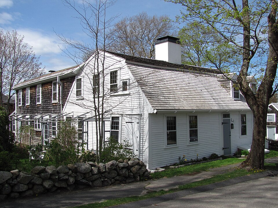






,_quintonil.jpg)