Listed on the National Register of Historic Places in
1980. A historic map-sheet match is not published yet. The record needs a coordinate-quality review before it can be joined to a sheet boundary.
From the record
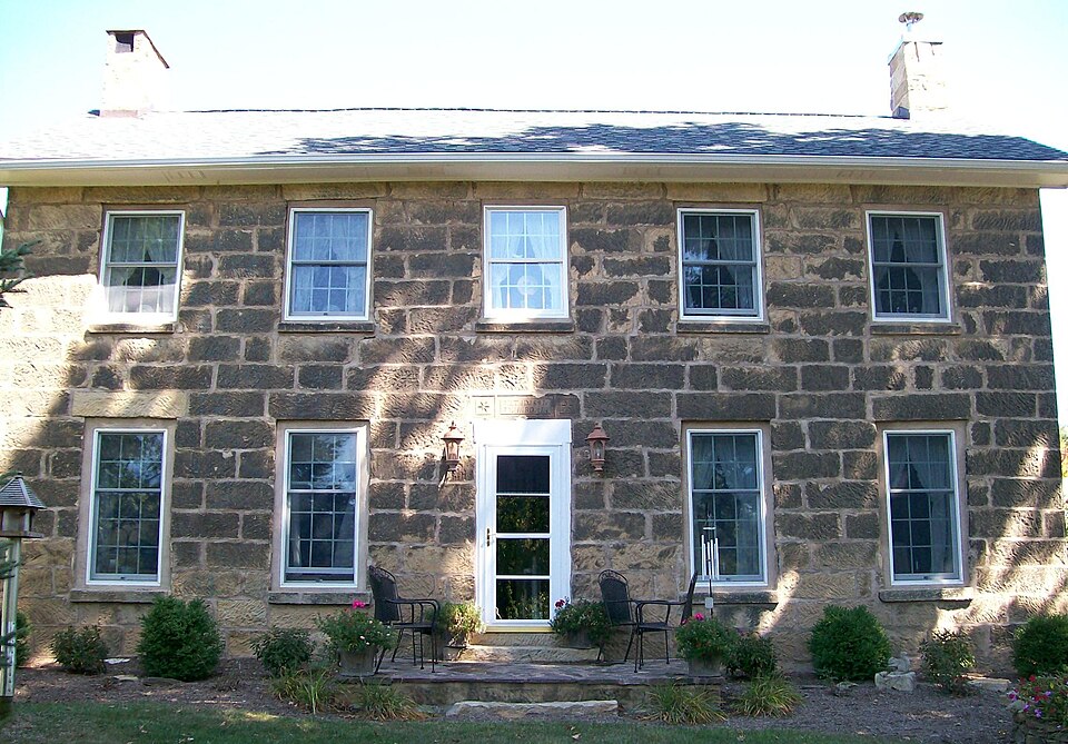
“The Samuel Harper Stone House is a historic residence in rural Guernsey County, Ohio, United States. A traditional building constructed in the 1840s by a well-known local builder, it has been named a historic site.”
Wikipedia article Samuel Harper Stone House, CC BY-SA 4.0.
one of 18 National Register listings in Guernsey County · listed in 1980 · category: Building · one of 1 National Historic Landmarks in Guernsey County.
National Register reference number.80003033- the number the National Park Service assigned this property when it was listed, and the key its nomination file is catalogued under at the National Archives.
The ground it stands on
1,041 words
The chapter on Adams Township in History of Guernsey County, Ohio, published 1911 names New Concord. This is what it says, exactly as the scans read.
David Thompson, another early settler in Adams township, was born in Ireland in 1774, and six years after his marriage the man and wife left their native land for America and resided in Allegheny county eighteen years. From there they moved to Muskingum county, Ohio, near New Concord, and from that place went to Adams township, Guernsey count}-, in 1817. The wife died in 1847 and he in 1859. They had five children, all of whom grew up and settled in homes in this county.
Regional context, not property-specific
evidence. The
federal wildfire occurrence database
lists 38 fires within 5 miles of Harper, Samuel, Stone House between
2007 and 2020, burning about 122 acres in total. None started naturally. None was recorded as arson.
Distance is straight-line from the map coordinates, so a fire counted
here may appear on a neighbouring settlement's page as well.
Reported cause
Fires
Debris and open burning
22
Missing data/not specified/undetermined
11
Recreation and ceremony
2
Equipment and vehicle use
1
Smoking
1
Power generation/transmission/distribution
1
The most recent of
them, most recent first, with the day each was reported and the service
that recorded it.
Regional context, not property-specific
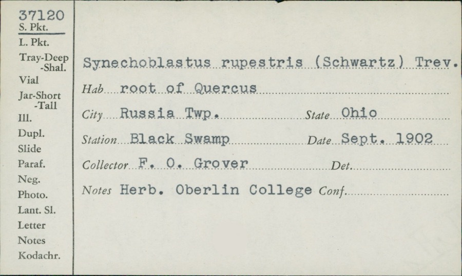
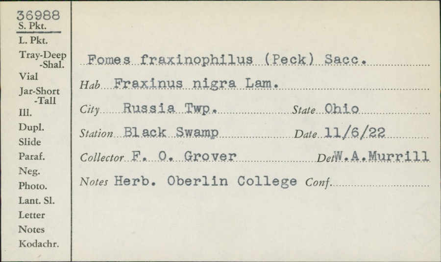
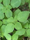
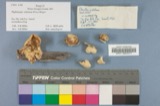
evidence. Museums hold 234 specimens
collected within 10 miles of Harper, Samuel, Stone House between 1875 and
1972: 131 Fungi, 59 Plantae, 40 Animalia, 2 Unrecorded, 2 Protozoa. 12 distinct Species records are shown.
Collected by Adams, W., Adams, W. (William), Adams, W.; Adams, S. and others. Each is a
physical object with a catalogue
number, and each entry opens the museum's record. This is what was
collected and kept, not a survey of what lives here - nothing can be
concluded from a species being absent.
Regional context, not property-specific
evidence. The federal mineral resources record lists
3 workings within 5 miles of Harper, Samuel, Stone House: 2 past producers, 1 occurrence.
None of them still produces. What was taken out: Limestone, General, Stone, Crushed/Broken, Titanium, Silica, Iron, Aluminum. Distance is straight-line from the
map coordinates, so a quarry counted here may appear on a neighbouring
settlement's page as well.
No historic map-sheet match is published
for this property yet. That does not mean no map exists. This record needs
a coordinate-quality review before it can be joined to a sheet boundary.
Browse the county's mapped places while that work is
pending.
From the nomination file
1,537 words on record
When this property was proposed for the
National Register, someone wrote the case for it: what the building is,
and why it matters. That document is a federal record in the public domain.
It is quoted below word for word, never summarised. The text was read off the scanned case file by machine, so the
occasional stray character is the recogniser's and the 1970s
typewriter's.
Description of the property
double hung, one-over-one lights, probably altered from a multi-light con- frame construction covered with vertical boards, in turn battened with alteration of the old section of the house, even to the extent that all CONDITION DETERIORATED EXCELLENT FAIR the addition. GOOD in dimentions, with a 2-story board-and-batten addition made to the north- Andrew Boal has inscribed the following message, set between 2 stylized Guernsey Caunty near the Muskingum County village of New Concord.The owners during their rehabilitation of the house.
CHECK ONE The property currently contains 145 acres and islocated in western This is a 5-bay dwelling,2 stories in of vermiculated there ever having been such windows in the east gable end.Prior to 1962 in the west gable are set2 single hung windows; there is no evidence of east of the house. -UNEXPOSED - UNALTERED It is 24' square and is of wood outstanding of these is a 38' x 28' wood frame bank barn, located c. 400' west side in 1962 by George Batchik, a local contractor. The main doorway is The interior of the house is in a fine state of repair. In plan, it is of the first story. It had been closed off but was opened by the present cultural landscape of the property is dotted by various agricultural outbuildings all of which were built well after the stone house.
The most RUINS tended stone sills and are capped with plain stone lintels.The sash is chimneys.The cornice is boxed and without ornamentation.At attic height Windows are set on ex- cut in random-width sections.The present owners have been careful in their The most outstanding feature Some flooring has been replaced, but with wood molded battens.There is an inset open porch at the southeast corner of a central hallway I-house.
The Samuel Harper"Stone House is nominated for its significance as an essentially Although it was built for the family of William Rainey Harper; the first president of the University of Chicago, this outstanding educator was never strongly associated the nineteenth century, this property is nominated. Further, the house represents the work of a master mason, Archibold Boal stone mason and travelled this area building at least three other stone dwellings. 800-1899 1400-1499 1841 LAW ARCHEOLOGY-HISTORIC RELIGION CONSERVATION 1900- BUILDER/ARCHITECT TRANSPORTATION EDUCATION AGRICULTURE PERIOD SIGNIFICANCE XARCHITECTURE THEATER EXPLORATION/SETTLEMENT ARCHEOLOGY-PREHISTORIC MILITARY SCULPTURE INDUSTRY _COMMUNICATIONS with this particular structure.
outstanding example of traditional American architecture of the second quarter of As was noted in the preceeding archftectural description;the plan of the _PREHISTORIC -ECONOMICS LITERATURE _1700-1799 _1500-1599 _COMMERCE intact example of executed in stone. _1600-1699 Midwest, and are often adorned with elite architectural features such as Greek Revival cornices and doorways of Adamesque detail. Also, they are generally of strained form and ornament of the folk house and is built of stone. Thus, as an Harper House is that of an "I-house," with two rooms over two rooms, in this case (1799-1862). moved to Norwich on the then new National Road.He worked as a brick layer and - INVENTION Boal was born in Morgan County south-of Muskingum County and in 1830
Quoted from the National Register nomination
for reference 80003033, 14 pages, held by the National Archives in Record
Group 79. See the
catalogue record.
Listed places nearby
6 within 8 miles
Other National Register properties close
enough to walk or drive between, ordered by distance from this one. Both
positions come from the same geocoding pass that matched these properties
to their map sheets.
Listing record. National Park Service National Register of Historic Places, listed-properties dataset, current to 2026-05-22.
Map join. Address geocoded through the United States Census geocoder, then tested against the published boundary of every sheet in the USGS Historical Topographic Map Collection.
How this page is made. Listing fields come from federal records; map-sheet coverage is a labelled coordinate-to-boundary calculation, not a source-field claim.
Wildfire. Short, Karen C. 2022. Spatial wildfire occurrence data for the United States, 1992-2020 [FPA_FOD_20221014]. 6th Edition. Fort Collins, CO: Forest Service Research Data Archive. https://doi.org/10.2737/RDS-2013-0009.6 Collected with United States Government funding and usable without additional permissions or fees.
Specimens. Global Biodiversity Information Facility (GBIF), https://www.gbif.org/. Only records licensed CC0 or CC BY are used. Records licensed CC BY-NC are excluded because this site carries advertising. Images are checked individually and any whose licence is non-commercial, no-derivatives or unreadable is refused.
Mines and quarries. USGS Mineral Resources Data System (MRDS) https://mrdata.usgs.gov/mrds/ A work of the United States government, no copyright under 17 U.S.C. 105.
 Block
Block