Block
From the record
One of 74 National Register listings published here for Mahoning County · listed in 1980 · category: Building.
Sources: the case file at the National Archives · the National Register database, National Park Service
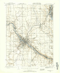
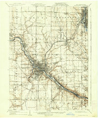
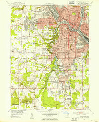
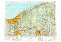
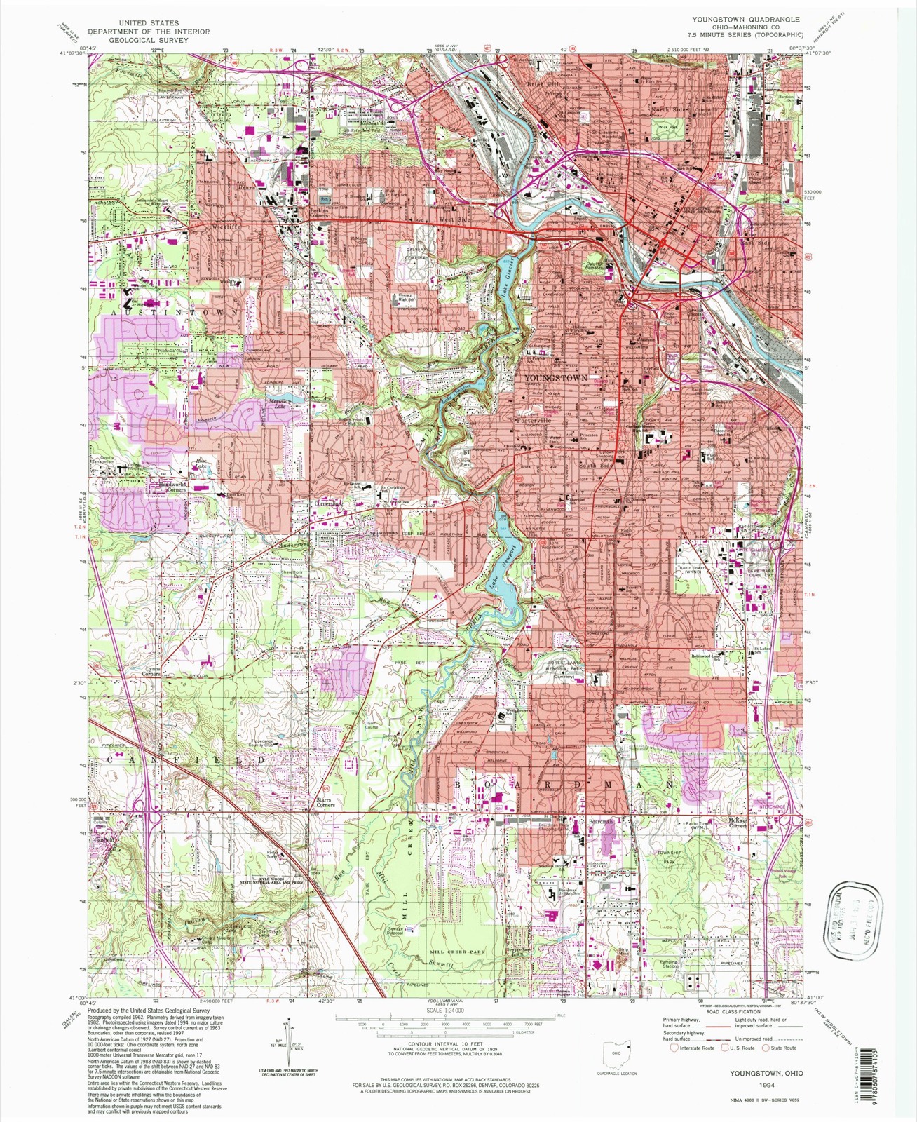
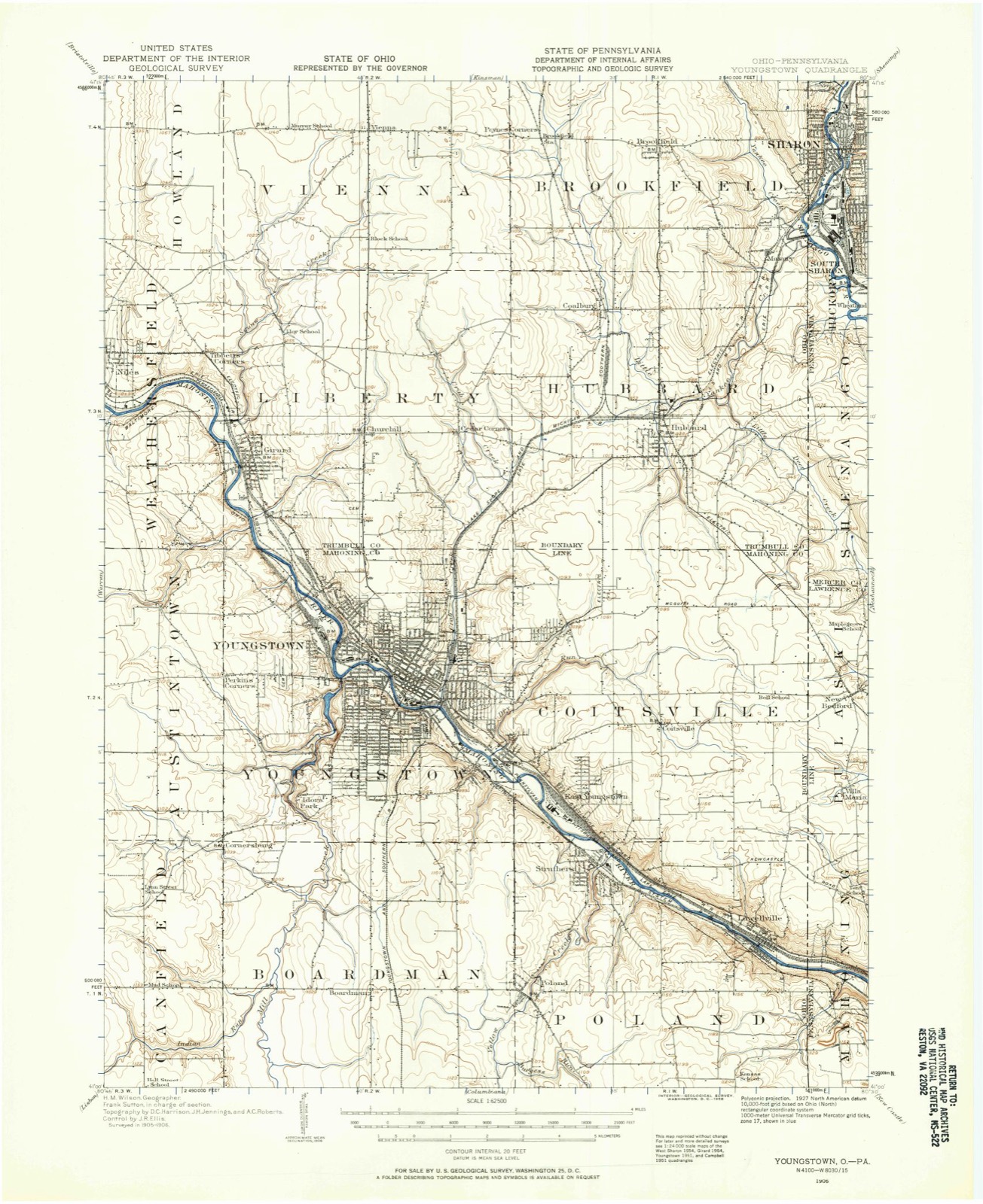
Listed on the National Register of Historic Places in 1980. 8 historic topographic surveys show this location, the earliest from 1906.
One of 74 National Register listings published here for Mahoning County · listed in 1980 · category: Building.
Sources: the case file at the National Archives · the National Register database, National Park Service
The ground this property stands on, surveyed 88 years apart. Drag the handle to wipe between them. Both sheets are United States Geological Survey originals; neither has been altered.
An account from the chapter on Youngstown city. The inset identifies its exact source book and publication year.
Samuel Argat. a young English sea captain from Virginia, who early in 161 3 was cruising off the coast of Maine, learning from the Indians of the presence of the French in that vicinity, attacked and destroyed the settlement of St. Sauveur. Soon after, on a second expediliou made under the authority of Sir Thomas Dale, governor of Virginia, he destroyed also that of Port Royal.
The chapter on Youngstown City in Twentieth Century History of Youngstown and Mahoning County, Ohio and Representative Citizens, published 1907 names Youngstown. This is what it says, exactly as the scans read.
Viewed as a whole, the surface of Mahoning county mny be regarded as an undulating plain, sloping gentlv to the north, its southern litie running on or rear the divide lief ween the waters of the Mahoning- on the north and the Little Heaver on the south, and having an altitude of from three to five 1 utidred feet above the valleys of the n< rth border. Topographically, the county forms a portion of the highlands of the southern rim of the lake basin, but since the rim is cut through by the deep gorge oi the Mahoning, the drainage, though locally northward, is all earned through that channel into the Ohio. Hut little of the surface is even locally level, but consists of an alternation of broad valleys of excavation, separated by rounded bills and table j lands, with gentle slopes. It is all varied and I picturesque, while at the same time it is well f adapted for agricultural purposes, and is now very generally in a high state of cultivation. The soil is in some places derived from the decomposition of the underlying rocks; but it, for the most part, rests ujjon a sheet of drift material, for the county lies within the drift area, though reaching its margin on the south. The general slope of the surface, ami part of the local erosion, seem to have Ix'cn produced by the southern extension of a tongue or lolxr of the great glacier, which, moving from the north, excavated the low country that lies between the highlands of Geauga and Portage on the west and those of Pennsylvania on the east. By this agent the northern out-crop of rocks which underlies the county have !>een ground away, and a large amount of material transported southward from its place of origin. As the eroded rocks were largely sandstone and conglomerate, much of the transported material is sand and gravel. Glacial marks are seen on the exposed surfaces of the harder rocks in nearly all parts of the county, and they are especially noticeable on the sandstone ledges on the northeast side of the Mahoning in Youngstown and Poland and on the higher strata of the same character in the southern part of Canfield and Ellsworth. The direction of the glacial scratches is nearly north and south; but they are sometimes reflected by local impediments a few degrees either east or west.
Passage source: Twentieth Century History of Youngstown and Mahoning County, Ohio and Representative Citizens, published 1907.
Coa! N'ii One, "I'll is is the scam which furnishes the famous Brier Hill, or Mahoning coal, so extensively used for irmi smelting and widely distributed through the markets of the northwest. It is the sanie seam that is sn largely worked in western Pennsylvania. The true position of this coal scam ts from twenty In fifty feet above tin- conglomerate. The quality of the Mahoning \ alley coal is so excellent and the coal field lies so near the (ireat Lakes market that it has become the lusis of an extensive commerce, and the mainsjiring of the most iiii]>oi t.uit iron industry of the West. The first development of coal mining in the valley of the Mahoning took place at the old Brier Hill and ("rah Creek mines near the north line of Youngstown. The search for coal has radiated from this center m every direction, and as a consequence the country about Youngstown has been more thoroughly explored than any other part of the county. A number of extensive basins have been discovered here, and several of them have U-en extensively worked
Passage source: Twentieth Century History of Youngstown and Mahoning County, Ohio and Representative Citizens, published 1907.
Machine-read from a century-old scan, so expect the errors a machine makes: misspelled names, dropped words, stray characters.
Read the whole chapter on Youngstown City - 521,977 words on its settlement, mills, schools and churches.
Regional context, not property-specific evidence. The federal wildfire occurrence database lists 9 fires within 5 miles of Realty Building between 2010 and 2020, burning about 6 acres in total. None started naturally. None was recorded as arson. Distance is straight-line from the map coordinates, so a fire counted here may appear on a neighbouring settlement's page as well.
| Reported cause | Fires |
|---|---|
| Debris and open burning | 8 |
| Equipment and vehicle use | 1 |
The most recent of them, most recent first, with the day each was reported and the service that recorded it.
| Date | Cause | Size | Reported by | Name on the report |
|---|---|---|---|---|
| 9 September 2019 | Debris and open burning | under an acre | Ohio Department of Natural Resources | 15243 |
| 10 September 2019 | Debris and open burning | under an acre | Ohio Department of Natural Resources | 15244 |
| 21 August 2020 | Debris and open burning | 1.0 acres | Ohio Department of Natural Resources | 15822 |
| 15 July 2019 | Debris and open burning | under an acre | Ohio Department of Natural Resources | 15216 |
| 14 July 2019 | Debris and open burning | under an acre | Ohio Department of Natural Resources | 15215 |
| 6 May 2019 | Debris and open burning | 1.0 acres | Ohio Department of Natural Resources | 15192 |
| 6 April 2020 | Debris and open burning | under an acre | Ohio Department of Natural Resources | 15644 |
| 18 April 2019 | Debris and open burning | 1.0 acres | Ohio Department of Natural Resources | 15172 |
Regional context, not property-specific evidence. Museums hold 304 specimens collected within 10 miles of Realty Building between 1853 and 1974: 220 Animalia, 78 Plantae, 5 Fungi, 1 Chromista. 12 distinct Species records are shown. Collected by A.E. Daugherty, B Withers, B. West and others. Each is a physical object with a catalogue number, and each entry opens the museum's record. This is what was collected and kept, not a survey of what lives here - nothing can be concluded from a species being absent.
| Image | Species | Year | Collected by | Where, as recorded |
|---|---|---|---|---|
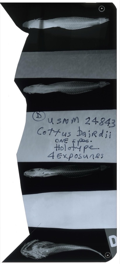 | Cottus bairdii Girard, 1850 | 1853 | S. Baird | Yellow Creek, Poland Ohio. |
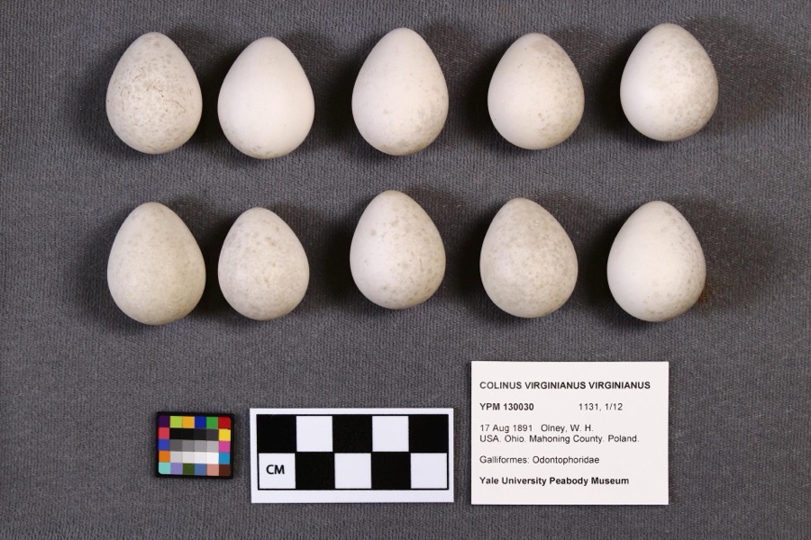 | Colinus virginianus virginianus (Linnaeus, 1758) | 1891 | W. H. Olney | Poland |
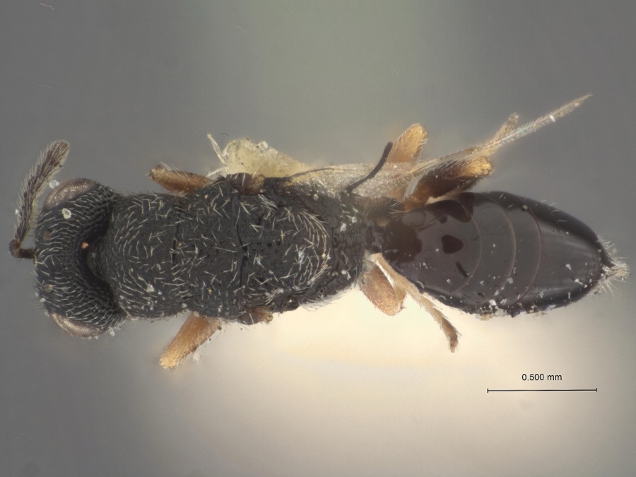 | Eurytoma pater Girault, 1920 | 1915 | W. Phillips | Youngstown |
 | Ameiurus melas (Rafinesque, 1820) | 1853 | S. Baird | Yellow Creek Poland, Ohio |
 | Chrysemys picta (Schneider, 1783) | 1853 | not recorded | Poland, Yellow Creek |
 | Ericymba buccata Cope, 1865 | 1853 | S. Baird | Yellow Creek, Poland, Ohio |
 | Etheostoma caeruleum Storer, 1845 | 1853 | S. Baird | Yellow Creek Poland, Ohio |
 | Etheostoma camurum (Cope, 1870) | 1853 | S. Baird | Yellow Creek Poland, Ohio |
 | Etheostoma flabellare Rafinesque, 1819 | 1853 | C. Kirtland | Yellow Creek, Poland Ohio. |
 | Etheostoma maculatum Kirtland, 1840 | 1853 | S. Baird | Yellow Creek Poland, Ohio |
 | Etheostoma nigrum Rafinesque, 1820 | 1853 | S. Baird | Yellow Creek Poland, Ohio |
 | Etheostoma zonale (Cope, 1868) | 1853 | S. Baird | Yellow Creek Poland, Ohio |
All 304 specimens within 10 miles, at the Global Biodiversity Information Facility.
Regional context, not property-specific evidence. The federal mineral resources record lists 3 workings within 5 miles of Realty Building: 2 producers, 1 past producer. 2 still produce. What was taken out: Sand and Gravel, Construction, Iron, Aluminum. Distance is straight-line from the map coordinates, so a quarry counted here may appear on a neighbouring settlement's page as well.
| Where | Site | Commodity | Status | Recorded |
|---|---|---|---|---|
| Oakwood Billets/ Youngstown, Ohio | Aluminum | Producer | ||
| Standard Slag/ Struthers, Ohio | Sand and Gravel, Construction | Past Producer | ||
| Us Steel/ Youngstown, Ohio | Iron | Producer |
Regional context, not property-specific evidence. The National Weather Service names Youngstown, the town this property stands in, in 44 storm reports between 1993 and 2015: 25 thunderstorm wind, 17 hail, 1 lightning, 1 tornado. No death or injury is recorded in these reports. Each account below is quoted exactly as the forecast office filed it, from the NOAA Storm Events Database, and each date opens the federal record of that event.
| When | Event | Place named | Harm | What the report says |
|---|---|---|---|---|
| July 2003 | Tornado (F1) | Youngstown | $1,000,000 | A tornado touched down just southwest of the Mahoning River between Gibson and Poland Avenues on the northeast side of Youngstown. The tornado then skipped northeast for approximately eight miles before dissipating on the eastern edge of the city just south of the Trumbull County border. The damage path was 50 to 100 yards in width and was intermittent in nature. Ten businesses and around 80 homes were damaged by the tornado. One business was destroyed, and of the 80 homes, 60 had major damage. Two railroad cars were overturned and hundreds of trees were toppled along the damage path. |
| July 2011 | Thunderstorm Wind | Youngstown | $50,000 | Thunderstorm winds caused some damage in the City of Youngstown. Four tents were toppled at a festival in the downtown area resulting in a few minor injuries. A church on Oakhill Avenue lost a large section of roofing. Many trees and large trees limbs were downed across the city as well. |
| June 2007 | Thunderstorm Wind | Youngstown | $50,000 | Thunderstorm winds damaged the roof of an auditorium and downed a few trees. |
| January 2000 | Thunderstorm Wind | Youngstown | $50,000 | Thunderstorm winds downed many trees. A building at Youngstown State University suffered damage when a 70 foot by 90 foot section of roof was peeled off. Awnings on two houses were also blown off. |
| December 2013 | Thunderstorm Wind | Youngstown | $35,000 | Thunderstorm winds downed several trees across Mahoning County. A fallen tree damaged a house in Youngstown. |
| April 1998 | Lightning | Youngstown | $30,000 | Lightning struck a garage, igniting a fire that destroyed the garage and a car inside and caused damage to three nearby homes. |
| July 2013 | Thunderstorm Wind | Youngstown | $15,000 | Thunderstorm winds downed many trees. |
| November 2002 | Thunderstorm Wind | Youngstown | $15,000 | Thunderstorm winds downed several trees on the north side of Youngstown. |
| May 2002 | Hail | Youngstown | $15,000 | Quarter size hail was reported. |
| July 2002 | Thunderstorm Wind | Youngstown | $15,000 | A 60 mph thunderstorm wind gust was measured. Several trees and large limbs were downed. |
| June 2007 | Hail | Youngstown | $10,000 | Numerous reports of hail ranging from penny to quarter size were observed by trained spotters between Youngstown and Boardman. A trained spotter also estimated wind gusts around 65 mph in Boardman at 14:30 EST. |
| August 2009 | Thunderstorm Wind | Youngstown | $8,000 | Three tress and numerous large limbs were reported down throughout Youngstown. |
| April 2011 | Thunderstorm Wind | Youngstown | $7,000 | Thunderstorm winds downed a couple of trees. One of the trees blocked a road. |
| November 2013 | Thunderstorm Wind | Youngstown | $6,000 | Thunderstorm winds downed a few trees. |
| May 1998 | Thunderstorm Wind | Youngstown | $6,000 | Trees and power lines were downed. |
| June 2011 | Thunderstorm Wind | Youngstown | $5,000 | Thunderstorm winds downed a few trees. |
| April 2002 | Hail | Youngstown | $5,000 | Dime size hail was reported just north of Youngstown. |
| September 2002 | Thunderstorm Wind | Youngstown | $5,000 | Thunderstorm winds downed two trees. |
| May 2000 | Thunderstorm Wind | Youngstown | $5,000 | Thunderstorm winds downed several trees in Mill Creek Park. |
| June 2000 | Thunderstorm Wind | Youngstown | $5,000 | Thunderstorm winds downed two trees. |
| July 1999 | Thunderstorm Wind | Youngstown | $5,000 | Trees and power lines downed. |
| September 1993 | Thunderstorm Wind | Youngstown | $5,000 | no account filed |
| May 2014 | Thunderstorm Wind | Youngstown | $3,000 | Thunderstorm winds downed several large tree limbs. |
| January 2012 | Thunderstorm Wind | Youngstown | $3,000 | Thunderstorm winds downed a couple of trees on the east side of Youngstown. |
| June 2008 | Thunderstorm Wind | Youngstown | $3,000 | Thunderstorm winds downed several large tree limbs. |
| July 2005 | Thunderstorm Wind | Youngstown | $2,000 | One tree and a large limb was reported down. |
| May 1997 | Thunderstorm Wind | Youngstown | $2,000 | no account filed |
| May 2014 | Thunderstorm Wind | Youngstown | $1,000 | Thunderstorm winds downed a tree. |
| July 2008 | Thunderstorm Wind | Youngstown | $1,000 | Thunderstorm winds downed a large tree limb. |
| April 1993 | Hail | Youngstown | $500 | no account filed |
| June 2015 | Hail | Youngstown | - | Hail the size of quarters was observed on the south side of Youngstown. |
| May 2014 | Hail | Youngstown | - | Quarter sized hail was reported. |
| May 2012 | Hail | Youngstown | - | Quarter sized hail was observed. |
| July 2012 | Hail | Youngstown | - | Nickel to quarter sized hail was observed. |
| July 2012 | Hail | Youngstown | - | Penny sized hail was observed. |
| May 2011 | Hail | Youngstown | - | Penny to quarter sized hail was reported. |
| July 2009 | Hail | Youngstown | - | Nickel size hail was observed. |
| July 2009 | Hail | Youngstown | - | Hail the size of half dollars was observed. |
| July 2009 | Hail | Youngstown | - | Hail the size of half dollars was observed. |
| May 2007 | Hail | Youngstown | - | Nickel size hail was reported. |
| April 2005 | Thunderstorm Wind | Youngstown | - | Several large limbs were downed in Youngstown. |
| June 2005 | Hail | Youngstown | - | Penny size hail was observed. |
| June 2004 | Hail | Youngstown | - | Penny size hail was observed. |
| July 1999 | Hail | Youngstown | - | no account filed |
2 papers published in this town, digitised by the Library of Congress and free to read. Every page is searchable, so a name or a street can be looked for directly in what the town printed about itself at the time.
| Newspaper | Published |
|---|---|
| Youngstownské Slovenské Noviny = Youngstown Slovak News | 1910 to 1940 |
| Amerikai Magyar Hirlap = American Magyar Journal | 1911 to 1942 |
United States Geological Survey topographic sheets whose coverage includes this point. Matched by taking the coordinate the National Park Service records for this property, then testing that coordinate against the published boundary of every sheet.
When this property was proposed for the National Register, someone wrote the case for it: what the building is, and why it matters. That document is a federal record in the public domain. It is reproduced in full on its own page, word for word and never summarised. The text was read off the scanned case file by machine, so the occasional stray character is the recogniser's and the 1970s typewriter's.
The whole case file for this property - 543 words, 7 pages, reproduced complete.
Quoted from the National Register nomination for reference 80003150, 7 pages, held by the National Archives in Record Group 79. See the catalogue record.
Other National Register properties close enough to walk or drive between, ordered by distance from this one. Both positions come from the same geocoding pass that matched these properties to their map sheets.
| Photograph | Property | Distance | Listed |
|---|---|---|---|
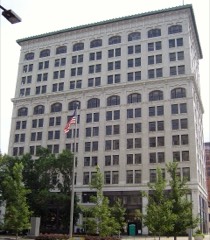 | Stambaugh Building | under 500 feet | 1980 |
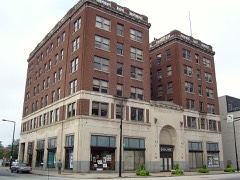 | Ohio One-Ohio Edison | under 500 feet | 1986 |
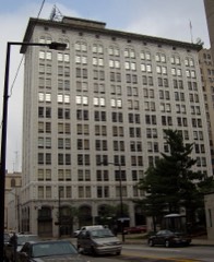 | Mahoning National Bank Building | under 500 feet | 1980 |
 | Central Tower Building | under 500 feet | 1980 |
 | First National Bank Building | under 500 feet | 1980 |
 | Mahoning County Courthouse | under 500 feet | 1974 |
| National Archives record | The nomination case file for reference 80003150 in Record Group 79. |
| Mahoning County | All 74 listed properties in this county. |